Old Maps of Cohasset, Minnesota for Hiking & Exploration
Hike through history with 29 historic maps of Cohasset. Explore old trails, ghost towns, and forgotten backroads — perfect for outdoor adventurers and local explorers.
- Rediscover forgotten places: Map out old mining camps, roads, and footpaths that no longer exist on modern maps.
- Layer with modern tools: Combine with LiDAR or satellite views to plan hikes through historical terrain.
- Made for exploration: Popular among hikers, overlanders, and local history lovers.
Use these maps to find adventure and explore the hidden past of Cohasset.
Cohasset, MN maps
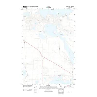
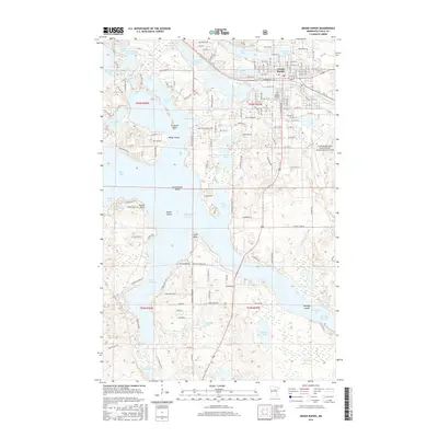
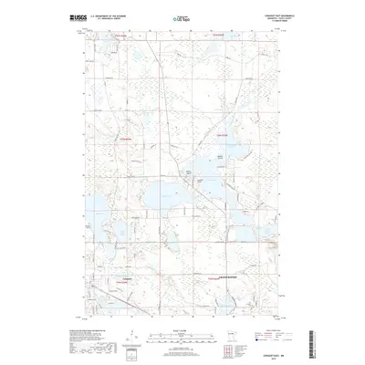
(29)- 1953 Map of Cohasset East, 1955 Print
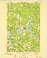 1953 Cohasset East1955 Print · USGSItasca County’s Iron Range comes into focus during the early fifties, showing the interplay of rail and water around the settlement of Cohasset. Genealogists and historians can locate Old Soldiers Cem, the Great Northern rail line, and the industrial footprint of Greenway Mine.3 unique versions available
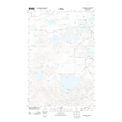
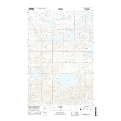
 - 1953 Map of Siseebakwet Lake, 1955 Print
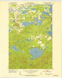 1953 Siseebakwet Lake1955 Print · USGSItasca County's lake-strewn landscape is captured here in the early fifties, featuring the sprawling waters of Siseebakwet Lake and the Mississippi River. Local historians can trace early aviation and community sites like the Otis Lodge Landing Field and the Community Hall.3 unique versions available
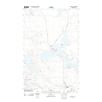
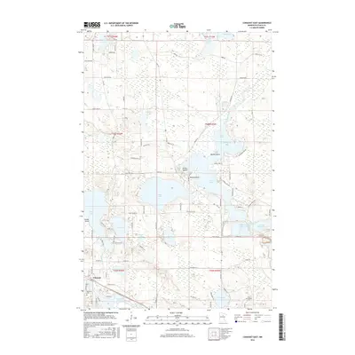
 - 1953 Map of Cohasset West, 1955 Print
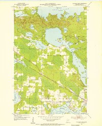 1953 Cohasset West1955 Print · USGSItasca County’s lake country is captured here during the mid-twentieth century, showing the intersection of tribal lands and industrial rail expansion. Researchers can trace the Great Northern line into Cohasset or explore the intricate shorelines of Deer Lake and the Mississippi River.3 unique versions available
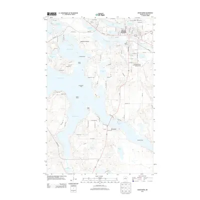
 - 1953 Map of Grand Rapids, 1955 Print
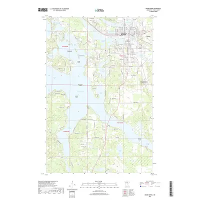
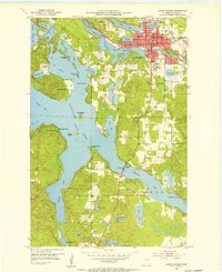 1953 Grand Rapids1955 Print · USGSGrand Rapids and the surrounding lake country are shown here in the early fifties during a period of steady growth. Researchers can find neighborhood schools like Murphy Sch, local landmarks such as the Courthouse, and the intricate shoreline of Pokegama Lake.4 unique versions available
 - 1954 Map of Hibbing, 1966 Print
 1954 Hibbing1966 Print · USGSNorthern Minnesota's Iron Range thrives during the mid-1960s, showing the industrial landscape between the Mesabi Range and the Mississippi River. Genealogists and historians can trace the rail lines of the Great Northern RR through mining hubs like Hibbing and Virginia.3 unique versions available
 - 1957 Map of Hibbing
 1957 Hibbing1957 Print · USGSNorthern Minnesota's Iron Range is shown at its industrial peak in the mid-fifties, dominated by the massive iron pits and rail corridors of the Mesabi Range. Researchers can trace the rail networks of the Duluth Missabe and Iron Range and locate mining hubs like Hibbing, Virginia, and Bovey.
 - 1958 Map of Hibbing
 1958 Hibbing1958 Print · USGSThe Mesabi Iron Range reached its mid-century height during this era, defining the landscape between Grand Rapids and Virginia. Genealogists and historians can trace the mining-town networks of Hibbing and Chisholm or locate numerous iron mines and rail spurs.
 - 1964 Map of Hibbing
 1964 Hibbing1964 Print · USGSNorthern Minnesota’s iron-rich corridor is captured here during a peak era of mid-century industrial activity. Researchers can trace the rail-to-mine connections through Mesabi Range towns like Hibbing and Virginia or locate lakefront settlements near Pokegama Lake.
 - 1992 Map of Pokegama Lake
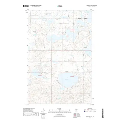
 1992 Pokegama Lake1992 Print · USGSItasca County in the early nineties showcases the industrial pulse of the Iron Range and the vast waters of the north woods. Trace the rail lines of the Duluth Missabe and Iron Range Railway or locate old settlements like Wawina and Calumet.
 - 2010 Map of Siseebakwet Lake, 2010 Print
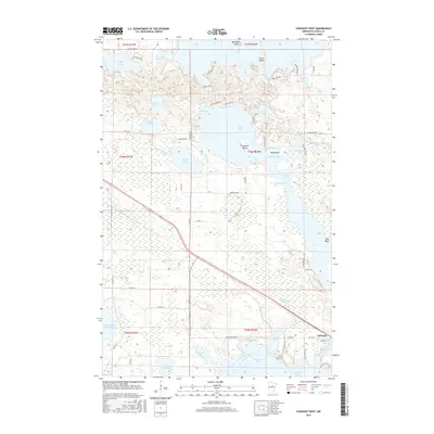
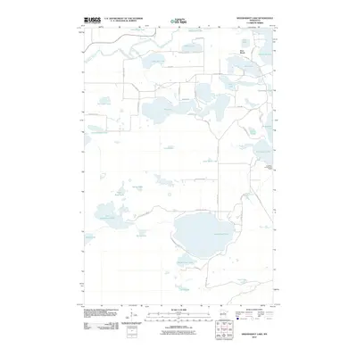 2010 Siseebakwet Lake2010 Print · USGSCovers Cohasset, including Bass Brook, Itasca County, and other nearby areas
 - 2010 Map of Cohasset West, 2010 Print
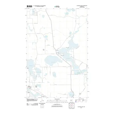
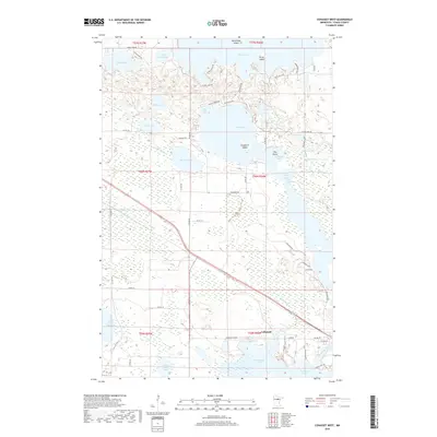
 2010 Cohasset West2010 Print · USGSCovers Cohasset, including Itasca County, United States, and other nearby areas
 - 2010 Map of Grand Rapids, 2010 Print
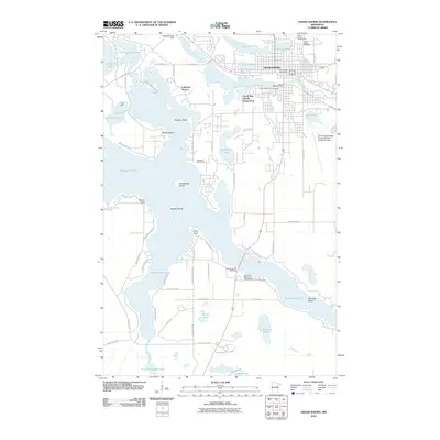 2010 Grand Rapids2010 Print · USGSCovers Cohasset, including Grand Rapids, La Prairie, and other nearby areas
 - 2010 Map of Cohasset East, 2010 Print
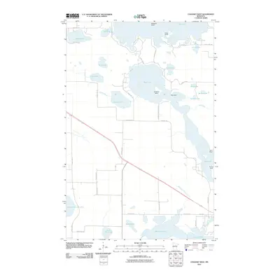
 2010 Cohasset East2010 Print · USGSCovers Cohasset, including Grand Rapids, Bass Brook Court, and other nearby areas
 - 2013 Map of Cohasset West, 2013 Print
 2013 Cohasset West2013 Print · USGSCovers Cohasset, including Itasca County, United States, and other nearby areas
 - 2013 Map of Siseebakwet Lake, 2013 Print
 2013 Siseebakwet Lake2013 Print · USGSCovers Cohasset, including Bass Brook, Itasca County, and other nearby areas
 - 2013 Map of Grand Rapids, 2013 Print
 2013 Grand Rapids2013 Print · USGSCovers Cohasset, including Grand Rapids, La Prairie, and other nearby areas
 - 2013 Map of Cohasset East, 2013 Print
 2013 Cohasset East2013 Print · USGSCovers Cohasset, including Grand Rapids, Bass Brook Court, and other nearby areas
 - 2016 Map of Grand Rapids, 2016 Print
 2016 Grand Rapids2016 Print · USGSCovers Cohasset, including Grand Rapids, La Prairie, and other nearby areas
 - 2016 Map of Cohasset East, 2016 Print
 2016 Cohasset East2016 Print · USGSCovers Cohasset, including Grand Rapids, Bass Brook Court, and other nearby areas
 - 2016 Map of Siseebakwet Lake, 2016 Print
 2016 Siseebakwet Lake2016 Print · USGSCovers Cohasset, including Bass Brook, Itasca County, and other nearby areas
 - 2016 Map of Cohasset West, 2016 Print
 2016 Cohasset West2016 Print · USGSCovers Cohasset, including Itasca County, United States, and other nearby areas
 - 2019 Map of Cohasset West, 2019 Print
 2019 Cohasset West2019 Print · USGSCovers Cohasset, including Itasca County, United States, and other nearby areas
 - 2019 Map of Siseebakwet Lake, 2019 Print
 2019 Siseebakwet Lake2019 Print · USGSCovers Cohasset, including Bass Brook, Itasca County, and other nearby areas
 - 2019 Map of Grand Rapids, 2019 Print
 2019 Grand Rapids2019 Print · USGSCovers Cohasset, including Grand Rapids, La Prairie, and other nearby areas
 - 2019 Map of Cohasset East, 2019 Print
 2019 Cohasset East2019 Print · USGSCovers Cohasset, including Grand Rapids, Bass Brook Court, and other nearby areas
Showing maps 1-25 of 29
Top cities near Cohasset
- Grand Rapids historical maps
- Coleraine historical maps
- Deer River historical maps
- Bovey historical maps
- La Prairie historical maps
- Taconite historical maps
See more
Top neighborhoods of Cohasset
Frequently asked questions
- What are the different types of historical maps available for Cohasset?
- What is the oldest map of Cohasset?
- Where can I purchase historical maps of Cohasset for my home or office?
- Where can I download high-res historical maps of Cohasset?
- Are there historical topographic maps available for Cohasset?
- Is there historical aerial imagery available for Cohasset?
- Where are historical maps of Cohasset sourced from?