Old Maps of Dawson, Minnesota for Hiking & Exploration
Hike through history with 9 historic maps of Dawson. Explore old trails, ghost towns, and forgotten backroads — perfect for outdoor adventurers and local explorers.
- Rediscover forgotten places: Map out old mining camps, roads, and footpaths that no longer exist on modern maps.
- Layer with modern tools: Combine with LiDAR or satellite views to plan hikes through historical terrain.
- Made for exploration: Popular among hikers, overlanders, and local history lovers.
Use these maps to find adventure and explore the hidden past of Dawson.
Dawson, MN maps
(9)- 1953 Map of Watertown, 1968 Print
 1953 Watertown1968 Print · USGSEastern South Dakota and the Minnesota borderlands are captured here during the mid-twentieth century as the region's agricultural and rail-service centers thrived. Genealogists and local historians can trace family-named sites across the Coteau des Prairies and find landmarks in Watertown, De Smet, and Brookings.3 unique versions available
 - 1958 Map of Watertown
 1958 Watertown1958 Print · USGSThe eastern South Dakota prairie and the Minnesota borderlands are captured here in the late fifties, showcasing a landscape of terminal moraine lakes and burgeoning rail hubs. Genealogists and historians can trace the early paths of the Chicago and North Western railroad or locate family roots in Watertown, Clark, or the Sisseton Indian Reservation.2 unique versions available
 - 1967 Map of Dawson, 1968 Print
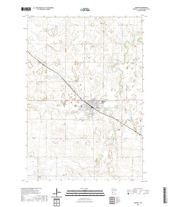
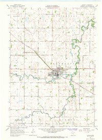 1967 Dawson1968 Print · USGSThe agricultural hub of Dawson flourished in the late sixties at the junction of the Lac Qui Parle River and the railroad. Genealogists and historians can trace the town's mid-century footprint, from the local Cemetery to the Drive-in Theater.
 - 1985 Map of Clear Lake
 1985 Clear Lake1985 Print · USGSThe South Dakota and Minnesota borderlands are captured here in the mid-eighties as a landscape of prairie towns and wildlife refuges. Researchers can trace the legacy of regional transport through the Chicago and North Western tracks and the Old Railroad Grade.2 unique versions available
 - 2010 Map of Dawson, 2010 Print
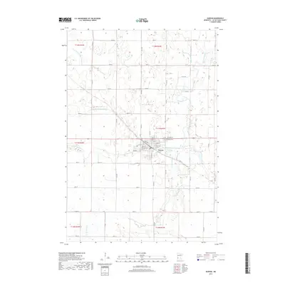
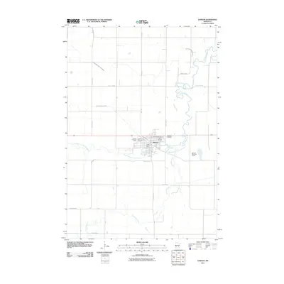 2010 Dawson2010 Print · USGSCovers Dawson, including Lac qui Parle County, United States, and other nearby areas
 - 2013 Map of Dawson, 2013 Print
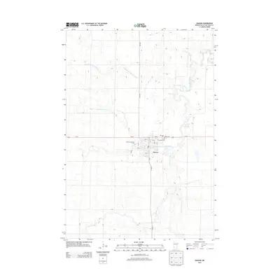 2013 Dawson2013 Print · USGSCovers Dawson, including Lac qui Parle County, United States, and other nearby areas
 - 2016 Map of Dawson, 2016 Print
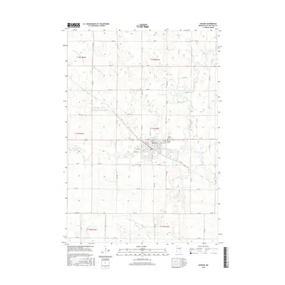 2016 Dawson2016 Print · USGSCovers Dawson, including Lac qui Parle County, United States, and other nearby areas
 - 2019 Map of Dawson, 2019 Print
 2019 Dawson2019 Print · USGSCovers Dawson, including Lac qui Parle County, United States, and other nearby areas
 - 2022 Map of Dawson, 2022 Print
 2022 Dawson2022 Print · USGSDawson and the surrounding prairie of Lac qui Parle County are shown here in recent years as a landscape defined by river bends and agricultural drainage. Genealogists can locate family plots at Riverside Cem or trace property lines near the Lac qui Parle River.
End of results
Showing maps 1-9 of 9
Top cities near Dawson
- Canby historical maps
- Madison historical maps
- Clarkfield historical maps
- Milan historical maps
- Cerro Gordo historical maps
- Boyd historical maps
See more
Frequently asked questions
- What are the different types of historical maps available for Dawson?
- What is the oldest map of Dawson?
- Where can I purchase historical maps of Dawson for my home or office?
- Where can I download high-res historical maps of Dawson?
- Are there historical topographic maps available for Dawson?
- Is there historical aerial imagery available for Dawson?
- Where are historical maps of Dawson sourced from?