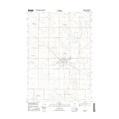
2016 Map of Dawson
USGS Topo · Published 2016About this map
Dawson sits at the confluence of several vital prairie waterways, including the main Lac qui Parle River and its West Branch. The 2016 landscape reflects over a century of agricultural modification, documented by the presence of numerous drainage systems like County Ditch Number Twentyseven and Judicial Ditch Number Four. For genealogists and local historians, the community is anchored by three distinct burial grounds: Dawson Cem, Riverside Cem, and Trinity Lutheran Cem. The town's grid is preserved in detail, with streets from Oak St to Spruce St and the distinctive diagonal cut of Diagonal St, suggesting the influence of early railroad platting on the local topography.
Find a feature on this map
53 named features on this map. Tap any name to fly to it.
Don’t see what you’re looking for? This feature index may not catch every label — zoom into the map to look around manually.
Map Details
Editions of this 2016 Dawson Map
This is the sole edition of this map. No revisions or reprints were ever made.
Other maps of this area

1953 · Milbank
USGS Topo · 1:250,000

1953 · Watertown
USGS Topo · 1:250,000

1953 · New Ulm
USGS Topo · 1:250,000

1953 · Saint Cloud
USGS Topo · 1:250,000

1957 · Saint Cloud
USGS Topo · 1:250,000

1957 · New Ulm
USGS Topo · 1:250,000

1958 · New Ulm
USGS Topo · 1:250,000

1958 · Milbank
USGS Topo · 1:250,000

1958 · Watertown
USGS Topo · 1:250,000

1958 · Saint Cloud
USGS Topo · 1:250,000