Old Maps of Lake Benton, Minnesota for Academic Research
Study the evolution of Lake Benton with 15 high-resolution historic maps. Whether you're teaching, researching, or modeling changes in land use, these maps provide essential visual documentation of urban, environmental, and geographic change.
- Analyze long-term change: Track patterns in development, transportation, and natural features.
- Ideal for environmental or urban studies: Support academic projects with primary historical map data.
- Use in the classroom or lab: Educators and researchers rely on these maps to bring historical context to life.
These maps are a powerful tool for teaching, research, and visualizing how Lake Benton has changed over the decades.
Lake Benton, MN maps
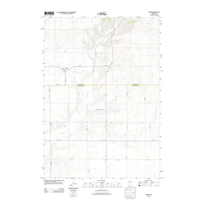
(15)- 1953 Map of Watertown, 1968 Print
 1953 Watertown1968 Print · USGSEastern South Dakota and the Minnesota borderlands are captured here during the mid-twentieth century as the region's agricultural and rail-service centers thrived. Genealogists and local historians can trace family-named sites across the Coteau des Prairies and find landmarks in Watertown, De Smet, and Brookings.3 unique versions available
 - 1958 Map of Watertown
 1958 Watertown1958 Print · USGSThe eastern South Dakota prairie and the Minnesota borderlands are captured here in the late fifties, showcasing a landscape of terminal moraine lakes and burgeoning rail hubs. Genealogists and historians can trace the early paths of the Chicago and North Western railroad or locate family roots in Watertown, Clark, or the Sisseton Indian Reservation.2 unique versions available
 - 1967 Map of Verdi, 1968 Print
 1967 Verdi1968 Print · USGSPipestone and Lincoln County farmland transitions from prairie to rail-side industry during the late sixties. Genealogists and local historians can trace the Chicago and North Western line through Verdi or locate the Altona State Wildlife Management Area.
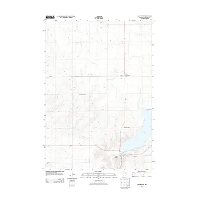
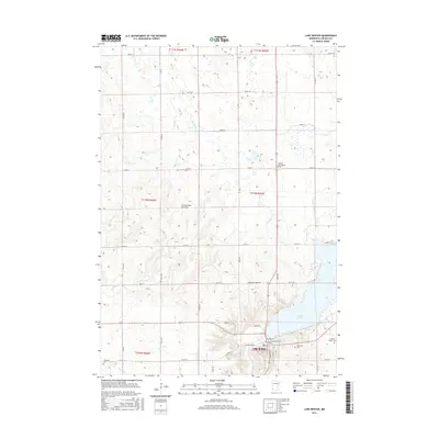
 - 1967 Map of Lake Benton, 1968 Print
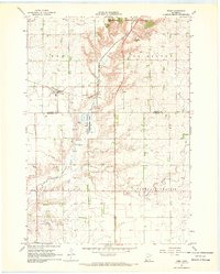
 1967 Lake Benton1968 Print · USGSThe Lake Benton region in the late sixties reveals a landscape of lakeside development and rail-line commerce. Genealogists and researchers can locate Memorial Cemetery, the High Sch, and the winding tracks of the Chicago and North Western railroad.2 unique versions available
 - 1985 Map of Brookings
 1985 Brookings1985 Print · USGSThe South Dakota and Minnesota borderlands in the mid-1980s are defined here by a network of prairie lakes and bustling rail corridors. Researchers can trace the path of the Chicago and North Western through Brookings or explore the numerous wetlands of Oakwood Lakes State Park.2 unique versions available
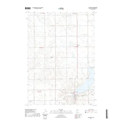
 - 2010 Map of Lake Benton, 2010 Print
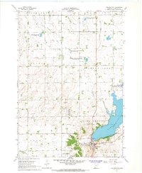
 2010 Lake Benton2010 Print · USGSCovers Lake Benton, including Lincoln County, United States, and other nearby areas
 - 2010 Map of Verdi, 2010 Print
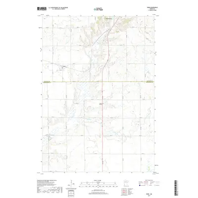
 2010 Verdi2010 Print · USGSCovers Lake Benton, including Verdi, Heartland Hutterite Colony, and other nearby areas
 - 2013 Map of Verdi, 2013 Print
 2013 Verdi2013 Print · USGSCovers Lake Benton, including Verdi, Heartland Hutterite Colony, and other nearby areas
 - 2013 Map of Lake Benton, 2013 Print
 2013 Lake Benton2013 Print · USGSCovers Lake Benton, including Lincoln County, United States, and other nearby areas
 - 2016 Map of Lake Benton, 2016 Print
 2016 Lake Benton2016 Print · USGSCovers Lake Benton, including Lincoln County, United States, and other nearby areas
 - 2016 Map of Verdi, 2016 Print
 2016 Verdi2016 Print · USGSCovers Lake Benton, including Verdi, Heartland Hutterite Colony, and other nearby areas
 - 2019 Map of Lake Benton, 2019 Print
 2019 Lake Benton2019 Print · USGSCovers Lake Benton, including Lincoln County, United States, and other nearby areas
 - 2019 Map of Verdi, 2019 Print
 2019 Verdi2019 Print · USGSCovers Lake Benton, including Verdi, Heartland Hutterite Colony, and other nearby areas
 - 2022 Map of Verdi, 2022 Print
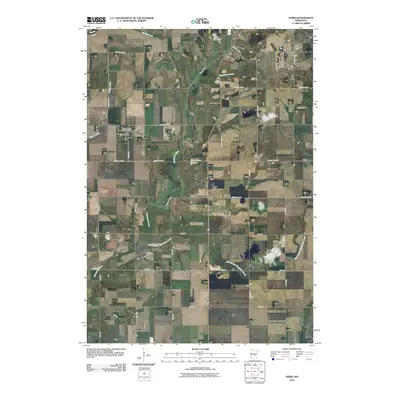
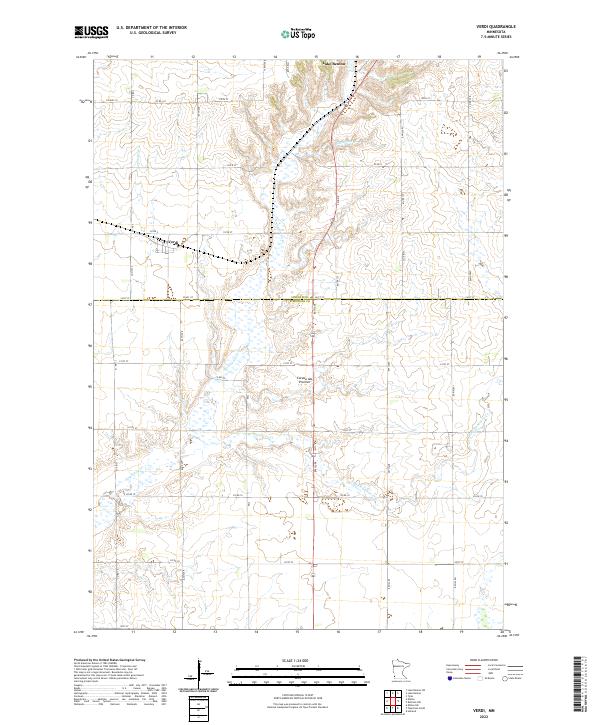 2022 Verdi2022 Print · USGSPipestone and Lincoln Counties are captured in this 2022 survey, showcasing the enduring rural character of the Coteau des Prairies. Researchers can trace the section lines and local roads surrounding Verdi and the winding course of Flandreau Cr.
 - 2022 Map of Lake Benton, 2022 Print
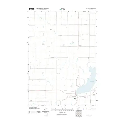
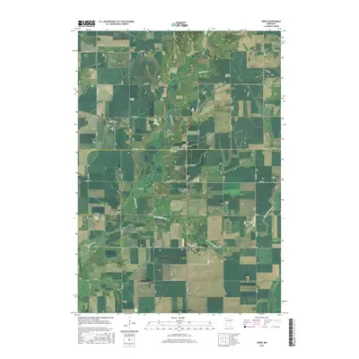
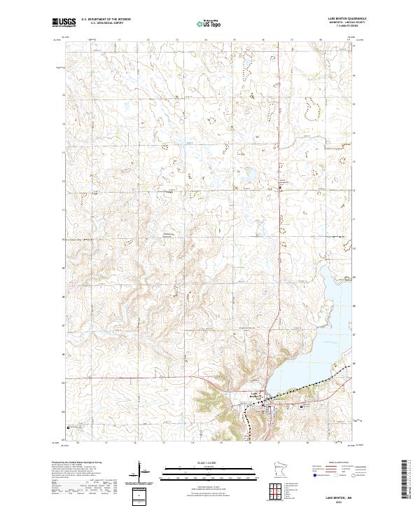 2022 Lake Benton2022 Print · USGSLake Benton and the surrounding Lincoln County prairie are captured here in the early twenty-first century. Genealogists and local historians can locate early burial grounds like Memorial Hill Cem and Immanuel Cem while tracing the waters of Norwegian Cr.
End of results
Showing maps 1-15 of 15
Top cities near Lake Benton
- Tyler historical maps
- Elkton historical maps
- Ivanhoe historical maps
- Ruthton historical maps
- Verdi historical maps
- Holland historical maps
See more
Frequently asked questions
- What are the different types of historical maps available for Lake Benton?
- What is the oldest map of Lake Benton?
- Where can I purchase historical maps of Lake Benton for my home or office?
- Where can I download high-res historical maps of Lake Benton?
- Are there historical topographic maps available for Lake Benton?
- Is there historical aerial imagery available for Lake Benton?
- Where are historical maps of Lake Benton sourced from?