Old Maps of Waltham, Minnesota for Academic Research
Study the evolution of Waltham with 16 high-resolution historic maps. Whether you're teaching, researching, or modeling changes in land use, these maps provide essential visual documentation of urban, environmental, and geographic change.
- Analyze long-term change: Track patterns in development, transportation, and natural features.
- Ideal for environmental or urban studies: Support academic projects with primary historical map data.
- Use in the classroom or lab: Educators and researchers rely on these maps to bring historical context to life.
These maps are a powerful tool for teaching, research, and visualizing how Waltham has changed over the decades.
Waltham, MN maps
(16)- 1954 Map of Mason City, 1967 Print
 1954 Mason City1967 Print · USGSSouthern Minnesota and northern Iowa are shown here at the height of the mid-century rail era, centered on the regional hubs of Mason City and Rochester. Researchers can trace the vanished paths of the Chicago Great Western and find local landmarks like Pilot Knob and Bear Lake.2 unique versions available
 - 1957 Map of Mason City
 1957 Mason City1957 Print · USGSThe Minnesota-Iowa border region comes alive in this mid-century survey, from the industrial plants of Mason City to the medical hub of Rochester. Researchers can trace the rail-and-river economy through the Chicago Great Western Railway and the Shell Rock River.
 - 1958 Map of Mason City
 1958 Mason City1958 Print · USGSSouthern Minnesota and northern Iowa are shown during the mid-fifties when railroads still anchored the regional economy. Genealogists and historians can trace the intricate rail networks of the Illinois Central and find local landmarks in Mason City, Albert Lea, and Austin.
 - 1966 Map of Waltham, 1967 Print
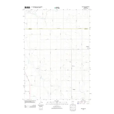
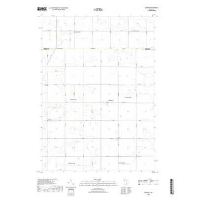
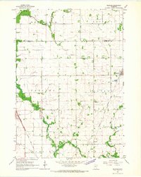 1966 Waltham1967 Print · USGSSouthern Minnesota's agricultural heartland is documented here during the mid-1960s, showing the vital rail links and small townships of Mower and Dodge Counties. Researchers can trace local genealogy and land use through landmarks like St Michaels Ch, the village of Waltham, and the Chicago Great Western tracks.
 - 1966 Map of Sargeant, 1967 Print
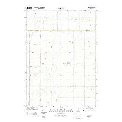
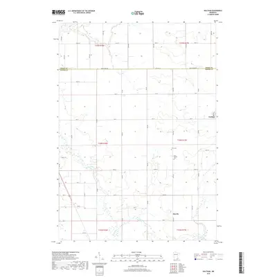
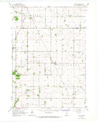 1966 Sargeant1967 Print · USGSSoutheastern Minnesota farmland near the Dodge and Mower county line is captured here in the mid-sixties. Genealogists and local historians can trace the Chicago Great Western rail line and locate community landmarks like St Johns Ch and the Waltham Cem.
 - 1985 Map of Austin
 1985 Austin1985 Print · USGSSoutheast Minnesota in the mid-1980s reveals a land of river valleys and agricultural hubs along the Iowa border. Researchers can trace the legacy of regional transport through the Chicago and North Western line and landmarks like Niagara Cave or the Rochester Municipal Airport.2 unique versions available
 - 2010 Map of Sargeant, 2010 Print
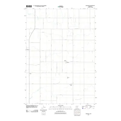 2010 Sargeant2010 Print · USGSCovers Waltham, including Sargeant, Mower County, and other nearby areas
 - 2010 Map of Waltham, 2010 Print
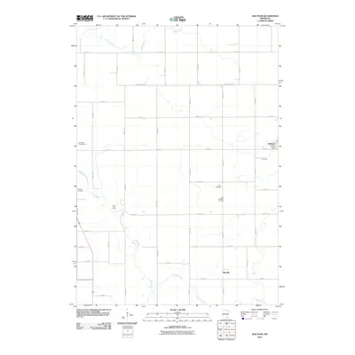 2010 Waltham2010 Print · USGSCovers Waltham, including Mayville, Mower County, and other nearby areas
 - 2013 Map of Waltham, 2013 Print
 2013 Waltham2013 Print · USGSCovers Waltham, including Mayville, Mower County, and other nearby areas
 - 2013 Map of Sargeant, 2013 Print
 2013 Sargeant2013 Print · USGSCovers Waltham, including Sargeant, Mower County, and other nearby areas
 - 2016 Map of Waltham, 2016 Print
 2016 Waltham2016 Print · USGSCovers Waltham, including Mayville, Mower County, and other nearby areas
 - 2016 Map of Sargeant, 2016 Print
 2016 Sargeant2016 Print · USGSCovers Waltham, including Sargeant, Mower County, and other nearby areas
 - 2019 Map of Sargeant, 2019 Print
 2019 Sargeant2019 Print · USGSCovers Waltham, including Sargeant, Mower County, and other nearby areas
 - 2019 Map of Waltham, 2019 Print
 2019 Waltham2019 Print · USGSCovers Waltham, including Mayville, Mower County, and other nearby areas
 - 2022 Map of Waltham, 2022 Print
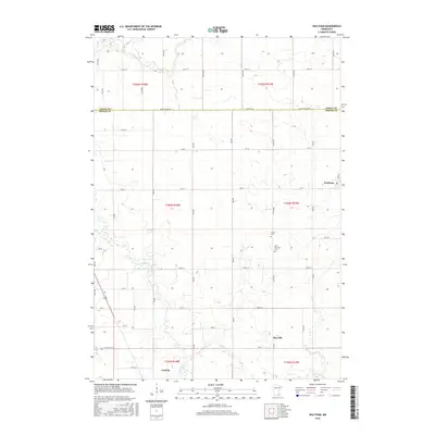
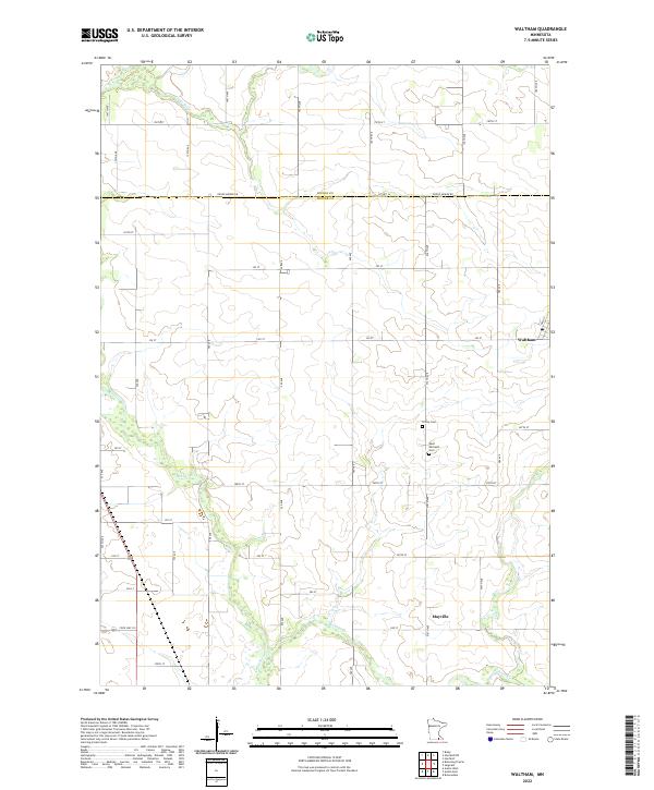 2022 Waltham2022 Print · USGSThe rural borderlands of Mower and Dodge counties are captured here in the early twenty-first century, showcasing a landscape of structured prairie agriculture. Genealogists and local historians can trace the foundations of the community at Trinity Cem and explore the layouts of Waltham and Mayville.
 - 2022 Map of Sargeant, 2022 Print
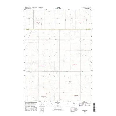
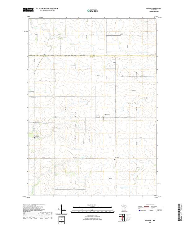 2022 Sargeant2022 Print · USGSDodge and Mower counties are shown here in the 2020s, highlighting the grid-based rural landscape between Sargeant and Waltham. Researchers can trace local lineage at Saint John's Lutheran Cem or follow the path of the Cedar River.
End of results
Showing maps 1-16 of 16
Top cities near Waltham
- Austin historical maps
- Kasson historical maps
- Byron historical maps
- Dodge Center historical maps
- Blooming Prairie historical maps
- Hayfield historical maps
See more
Frequently asked questions
- What are the different types of historical maps available for Waltham?
- What is the oldest map of Waltham?
- Where can I purchase historical maps of Waltham for my home or office?
- Where can I download high-res historical maps of Waltham?
- Are there historical topographic maps available for Waltham?
- Is there historical aerial imagery available for Waltham?
- Where are historical maps of Waltham sourced from?