Old Maps of Parkers Prairie Township, Minnesota for Academic Research
Study the evolution of Parkers Prairie Township with 29 high-resolution historic maps. Whether you're teaching, researching, or modeling changes in land use, these maps provide essential visual documentation of urban, environmental, and geographic change.
- Analyze long-term change: Track patterns in development, transportation, and natural features.
- Ideal for environmental or urban studies: Support academic projects with primary historical map data.
- Use in the classroom or lab: Educators and researchers rely on these maps to bring historical context to life.
These maps are a powerful tool for teaching, research, and visualizing how Parkers Prairie Township has changed over the decades.
Parkers Prairie Township, MN maps
(29)- 1953 Map of Brainerd, 1966 Print
 1953 Brainerd1966 Print · USGSCentral Minnesota's lake country and iron ranges are detailed in the mid-fifties, showing the intersection of industry and wilderness. Researchers can locate specific local landmarks like the Crow Wing County Courthouse or trace the early paths of the Soo Line Railroad and the Cuyuna Range Iron Mines.3 unique versions available
 - 1957 Map of Brainerd
 1957 Brainerd1957 Print · USGSNorth-central Minnesota's lake-rich landscape is captured in the mid-1950s as a crossroads of rail, river, and forest. Genealogists and historians can trace the paths of the Great Northern and Soo Line railroads through hubs like Brainerd, Wadena, and Detroit Lakes.
 - 1958 Map of Brainerd
 1958 Brainerd1958 Print · USGSCentral Minnesota in the late fifties is a landscape of dense lake chains, rail hubs, and sprawling state forests. Genealogists and local historians can trace old property alignments near the Mississippi River or locate family sites in Brainerd, Little Falls, and Detroit Lakes.
 - 1965 Map of Brainerd
 1965 Brainerd1965 Print · USGSNorth-central Minnesota in the mid-fifties presents a complex landscape of sprawling lake systems and established rail corridors. Genealogists and historians can trace the growth of timber towns along the Northern Pacific RR and explore early borders of the White Earth Indian Reservation or Tamarac National Wildlife Refuge.
 - 1969 Map of Lake Miltona West, 1971 Print
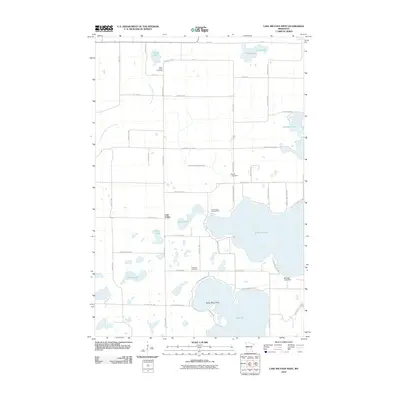
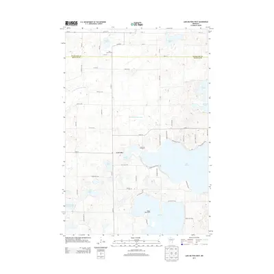
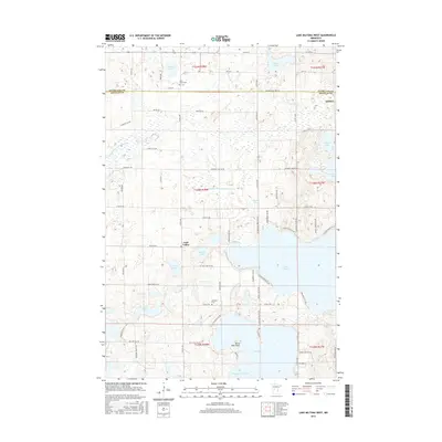
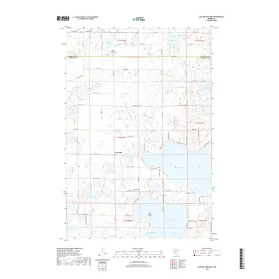
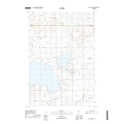
 1969 Lake Miltona West1971 Print · USGSDouglas County’s sprawling lake country comes into focus in the late sixties, highlighting the intricate shorelines and early communities of the region. Genealogists and local researchers can trace family landmarks like Leaf Valley, St James Ch, and the many docks along Lake Miltona.
 - 1969 Map of Lake Miltona East, 1971 Print
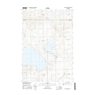
 1969 Lake Miltona East1971 Print · USGSDouglas County’s lake country is captured here in the late sixties as the area balanced recreation with local industry and conservation. Genealogists and historians can locate the Miltona settlement, St Pauls Ch, and family sites near Lake Irene.
 - 1969 Map of Parkers Prairie NW, 1971 Print
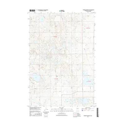
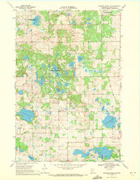 1969 Parkers Prairie NW1971 Print · USGSOtter Tail County’s glaciated terrain is preserved here as it appeared in the late sixties, showing a landscape defined by conservation and rural community hubs. Genealogists can locate Folden Ch, North Effington Ch, and the local Cem among the sprawling waters of Block Lake and Nelson Lake.
 - 1969 Map of Parkers Prairie, 1971 Print
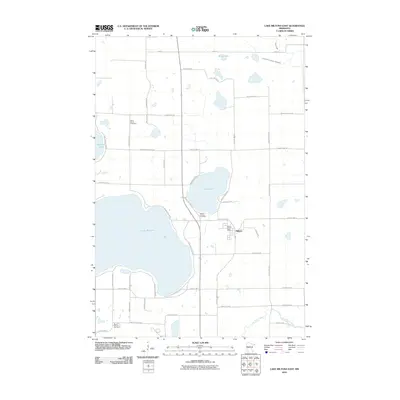
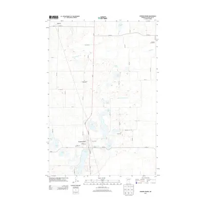
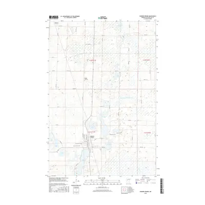
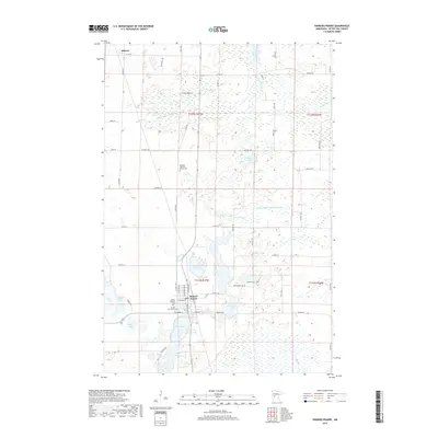
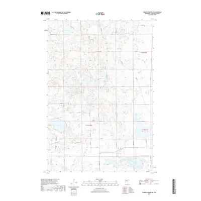
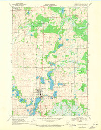 1969 Parkers Prairie1971 Print · USGSOtter Tail County in the late sixties shows a landscape of glacial lakes and prairie settlements organized around the rail line. Genealogists and local historians can locate family plots at St Williams Cem or Swedish Cem and trace the Soo Line through Parkers Prairie.
 - 1986 Map of Battle Lake
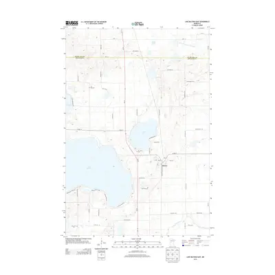
 1986 Battle Lake1986 Print · USGSMinnesota's lake-rich glacial heartland is captured in the mid-1980s, showcasing a landscape defined by water and rail. Genealogists and collectors can trace the rural sections around Battle Lake and Parkers Prairie or locate family sites near Otter Tail Lake and Clitherall.2 unique versions available
 - 2010 Map of Parkers Prairie NW, 2010 Print
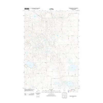
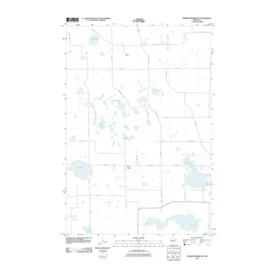 2010 Parkers Prairie NW2010 Print · USGSCovers Parkers Prairie Township, including Effington Township, Folden Township, and other nearby areas
 - 2010 Map of Parkers Prairie, 2010 Print
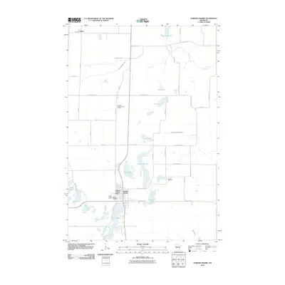 2010 Parkers Prairie2010 Print · USGSCovers Parkers Prairie Township, including Parkers Prairie, Eastern Township, and other nearby areas
 - 2010 Map of Lake Miltona East, 2010 Print
 2010 Lake Miltona East2010 Print · USGSCovers Parkers Prairie Township, including Miltona, Eastern Township, and other nearby areas
 - 2010 Map of Lake Miltona West, 2010 Print
 2010 Lake Miltona West2010 Print · USGSCovers Parkers Prairie Township, including Leaf Valley, Effington Township, and other nearby areas
 - 2013 Map of Lake Miltona East, 2013 Print
 2013 Lake Miltona East2013 Print · USGSCovers Parkers Prairie Township, including Miltona, Eastern Township, and other nearby areas
 - 2013 Map of Parkers Prairie NW, 2013 Print
 2013 Parkers Prairie NW2013 Print · USGSCovers Parkers Prairie Township, including Effington Township, Folden Township, and other nearby areas
 - 2013 Map of Parkers Prairie, 2013 Print
 2013 Parkers Prairie2013 Print · USGSCovers Parkers Prairie Township, including Parkers Prairie, Eastern Township, and other nearby areas
 - 2013 Map of Lake Miltona West, 2013 Print
 2013 Lake Miltona West2013 Print · USGSCovers Parkers Prairie Township, including Leaf Valley, Effington Township, and other nearby areas
 - 2016 Map of Parkers Prairie, 2016 Print
 2016 Parkers Prairie2016 Print · USGSCovers Parkers Prairie Township, including Parkers Prairie, Eastern Township, and other nearby areas
 - 2016 Map of Parkers Prairie NW, 2016 Print
 2016 Parkers Prairie NW2016 Print · USGSCovers Parkers Prairie Township, including Effington Township, Folden Township, and other nearby areas
 - 2016 Map of Lake Miltona West, 2016 Print
 2016 Lake Miltona West2016 Print · USGSCovers Parkers Prairie Township, including Leaf Valley, Effington Township, and other nearby areas
 - 2016 Map of Lake Miltona East, 2016 Print
 2016 Lake Miltona East2016 Print · USGSCovers Parkers Prairie Township, including Miltona, Eastern Township, and other nearby areas
 - 2019 Map of Parkers Prairie, 2019 Print
 2019 Parkers Prairie2019 Print · USGSCovers Parkers Prairie Township, including Parkers Prairie, Eastern Township, and other nearby areas
 - 2019 Map of Lake Miltona West, 2019 Print
 2019 Lake Miltona West2019 Print · USGSCovers Parkers Prairie Township, including Leaf Valley, Effington Township, and other nearby areas
 - 2019 Map of Parkers Prairie NW, 2019 Print
 2019 Parkers Prairie NW2019 Print · USGSCovers Parkers Prairie Township, including Effington Township, Folden Township, and other nearby areas
 - 2019 Map of Lake Miltona East, 2019 Print
 2019 Lake Miltona East2019 Print · USGSCovers Parkers Prairie Township, including Miltona, Eastern Township, and other nearby areas
Showing maps 1-25 of 29
Top cities near Parkers Prairie Township
- Alexandria historical maps
- Parkers Prairie historical maps
- Henning historical maps
- Leaf Valley historical maps
- Belle River historical maps
- Carlos historical maps
See more
Frequently asked questions
- What are the different types of historical maps available for Parkers Prairie Township?
- What is the oldest map of Parkers Prairie Township?
- Where can I purchase historical maps of Parkers Prairie Township for my home or office?
- Where can I download high-res historical maps of Parkers Prairie Township?
- Are there historical topographic maps available for Parkers Prairie Township?
- Is there historical aerial imagery available for Parkers Prairie Township?
- Where are historical maps of Parkers Prairie Township sourced from?