2000s (21st Century) Maps of Chengwatana Township, Minnesota
Explore 30 historic maps of Chengwatana Township from the 2000s (21st Century). These maps offer a rare glimpse into what life looked like during the 2000s — showing old roads, neighborhoods, homes, and landmarks that have changed or disappeared over time.
Whether you're researching your family's past, planning a metal detecting trip, or studying how Chengwatana Township's landscape evolved across the 2000s, these high-resolution maps are a powerful tool for exploring the history of this region.
- Focus on a specific era: All maps on this page are from the 2000s, giving you a focused view of this time period.
- See what’s changed: Compare century-old streets, trails, and buildings to today's modern landscape using overlays and satellite layers.
- Research with precision: Use these maps for genealogy, historical research, land use analysis, or educational projects.
- View, download, or print: Maps are fully viewable online in high resolution, and can be downloaded or printed for your own records.
Start exploring Chengwatana Township's history through authentic maps from the 2000s. This is your window into the past.
Chengwatana Township, MN maps
(30)- 2010 Map of Cedar Lake, 2010 Print
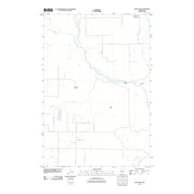 2010 Cedar Lake2010 Print · USGSPine County during the early twenty-first century shows a landscape shaped by the Kettle River and local conservation efforts. Trace property and drainage patterns near Cedar Lake, the Calvin Harth Wildlife Structure Dam, and the river bends at Big Eddy.
 - 2010 Map of Beroun, 2010 Print
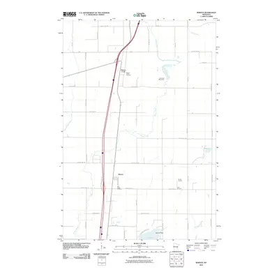 2010 Beroun2010 Print · USGSPine County's rural character is on full display in the early 2000s, centered on the historic community of Beroun. Genealogists and historians can locate family landmarks like Saint Joseph Cemetery, Cech Cemetery, and the Lawrence Mans Dam.
 - 2010 Map of Grantsburg, 2010 Print
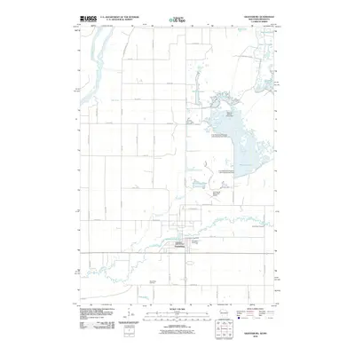 2010 Grantsburg2010 Print · USGSGrantsburg and the surrounding Burnett County wetlands are documented here in the early twenty-first century. Family historians can locate Riverside Cemetery and Wood River Cemetery, while researchers of the local landscape can trace managed waters like Phantom Lake and the Saint Croix River.
 - 2010 Map of Bass Creek, 2010 Print
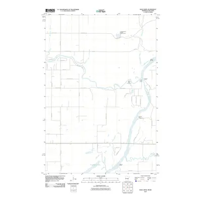 2010 Bass Creek2010 Print · USGSThe river valleys of eastern Minnesota and western Wisconsin are captured here in the early twenty-first century as the Saint Croix River meets the Snake River. Trace public landings and riverfront terrain from Soderbeck Landing down to Sandrock Cliff Campground.
 - 2010 Map of Pine City, 2010 Print
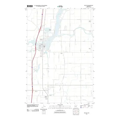 2010 Pine City2010 Print · USGSPine City and the surrounding Pine County countryside are documented here in the early twenty-first century as the area continued to grow. Family historians can locate several burial grounds, such as Bohemian Cemetery and Hustletown Union Cemetery, or trace the banks of the Snake River.
 - 2010 Map of Lake Clayton, 2010 Print
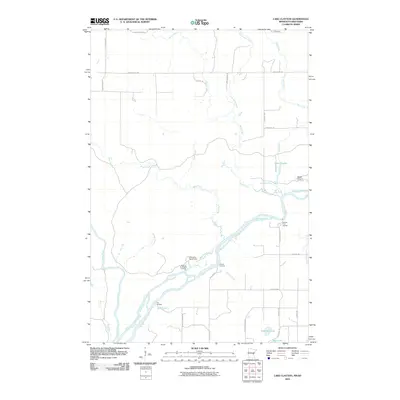 2010 Lake Clayton2010 Print · USGSThe confluence of the Saint Croix River and Kettle River dominates this 2010 landscape of landings and camps. Researchers can trace historical river access points like Norway Point Landing or locate remote interior waters such as Lake Clayton and Fuhrman Lake.
 - 2013 Map of Grantsburg, 2013 Print
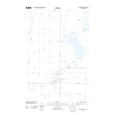 2013 Grantsburg2013 Print · USGSThe Wisconsin and Minnesota borderlands at the Saint Croix confluence appear here in the early twenty-first century, dominated by extensive flowages and wildlife refuges. Researchers can trace the local infrastructure around Memory Lake 152, Wood River, and legacy routes like Paint Mine Rd.
 - 2013 Map of Cedar Lake, 2013 Print
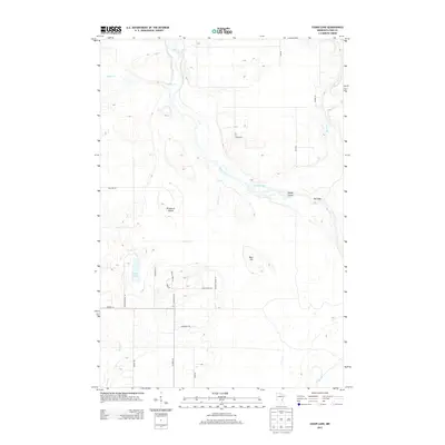 2013 Cedar Lake2013 Print · USGSPine County and the banks of the Kettle River appear here in the early twenty-first century, showing a landscape defined by water and woods. Trace the natural river bends past Lords Slough, or locate properties near Cedar Lake and the Big Eddy.
 - 2013 Map of Beroun, 2013 Print
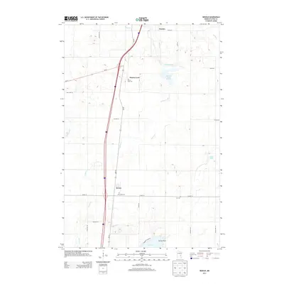 2013 Beroun2013 Print · USGSPine County's rural character is on full display in this early twenty-first-century survey of the communities south of Hinckley. Genealogists and local historians can locate specific sites like Saint Joseph Cem, Cech Cem, and the settlement at Beroun.
 - 2013 Map of Pine City, 2013 Print
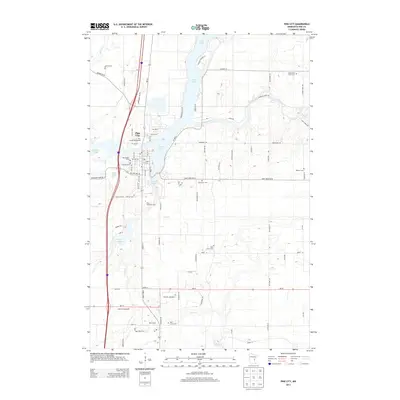 2013 Pine City2013 Print · USGSPine City sits at the junction of river and lake life in this early 21st-century record of eastern Minnesota. Researchers can trace local heritage through numerous burial grounds like Bohemian Cem and landmarks such as the Pine County Fairgrounds.
 - 2013 Map of Lake Clayton, 2013 Print
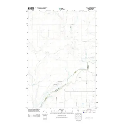 2013 Lake Clayton2013 Print · USGSPine County and the Minnesota-Wisconsin border are captured here in the early 2010s, centered on the confluence of the Saint Croix and Kettle rivers. Researchers can trace river access points and campsites like Head of the Rapids Landing and Norway Point Camp.
 - 2013 Map of Bass Creek, 2013 Print
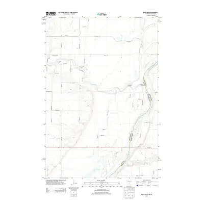 2013 Bass Creek2013 Print · USGSThe confluence of the Snake and Saint Croix Rivers defines this borderland between Minnesota and Wisconsin in the early twenty-first century. Genealogists and local historians can trace family properties and recreational sites near Snake River Landing, Long Meadows Lake, and Seven Islands.
 - 2015 Map of Grantsburg, 2015 Print
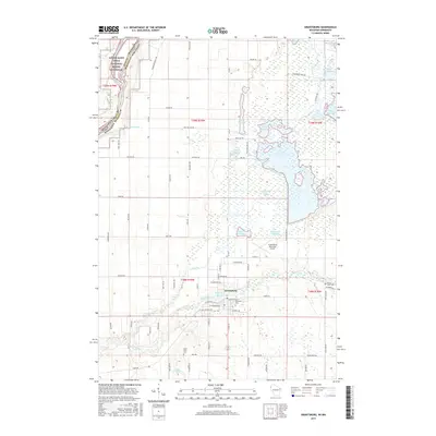 2015 Grantsburg2015 Print · USGSGrantsburg and the wetlands of Burnett County are captured here in the mid-2010s near the Minnesota border. Researchers can trace family history at Riverside Cem or study the complex system of local flowages like Phantom Lake and Dike 5 Flowage.
 - 2016 Map of Beroun, 2016 Print
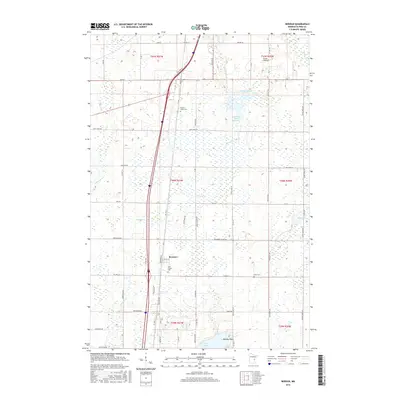 2016 Beroun2016 Print · USGSThe community of Beroun and the surrounding Pine County wetlands are captured here in the mid-2010s. Genealogists can locate family landmarks like Saint Joseph Cem and Cech Cem, or trace the winding course of Mission Creek through the local landscape.
 - 2016 Map of Bass Creek, 2016 Print
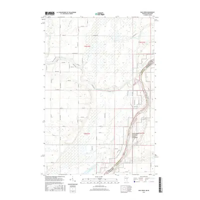 2016 Bass Creek2016 Print · USGSThe river border between Minnesota and Wisconsin comes alive in this modern survey of the Saint Croix River valley. Researchers can trace the winding paths of Snake River and Bass Creek as they navigate the wetlands near Seven Islands.
 - 2016 Map of Lake Clayton, 2016 Print
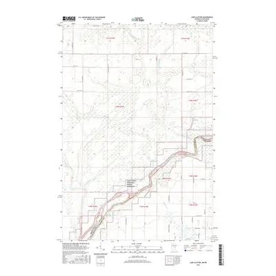 2016 Lake Clayton2016 Print · USGSThe river border between Minnesota and Wisconsin comes alive in this survey of the north woods during the mid-2010s. Trace local family history and rural geography along Foxes Landing Rd and near the waters of Lake Clayton or the Kettle River.
 - 2016 Map of Cedar Lake, 2016 Print
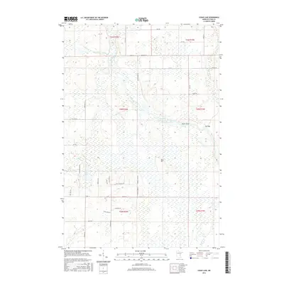 2016 Cedar Lake2016 Print · USGSArlone Township and the surrounding Pine County wetlands are documented here in the mid-2010s. Researchers can trace the winding course of the Kettle River past Lords Slough Kettle River, Big Eddy, and the shores of Cedar Lake.
 - 2016 Map of Pine City, 2016 Print
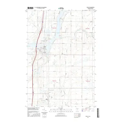 2016 Pine City2016 Print · USGSPine City and the Rock Creek area are captured here during a period of modern stability, showing a landscape defined by its lakes and local heritage. Researchers can trace family history through several sites like Czech National Cem and Milburn Cem along the Snake River corridor.
 - 2019 Map of Grantsburg, 2019 Print
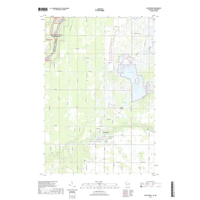 2019 Grantsburg2019 Print · USGSThe village of Grantsburg and its surrounding wetlands are documented here in the late twenty-teens. Local researchers can locate family burial sites at Riverside Cem or trace the waterways of Phantom Lake and the Wood River.
 - 2019 Map of Cedar Lake, 2019 Print
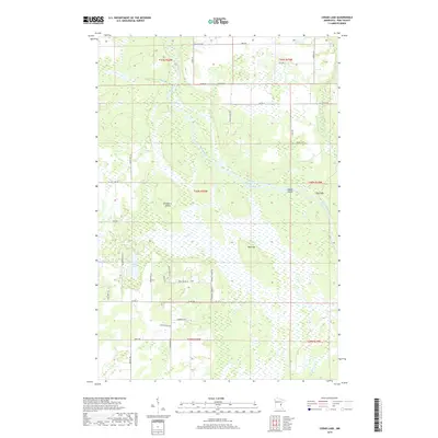 2019 Cedar Lake2019 Print · USGSPine County’s riverine landscape is documented here in the late 2010s, showing a complex network of wetlands and watercourses. Genealogists and outdoorsmen can trace land near Cedar Lake, find the high ground at Bear Hill, or follow the Kettle River.
 - 2019 Map of Bass Creek, 2019 Print
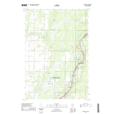 2019 Bass Creek2019 Print · USGSThe river border between Minnesota and Wisconsin is captured here in the late 2010s, centered on the Saint Croix National Scenic Riverway. Researchers can trace the hydrography of the Snake River and Wood River or locate the settlement of Rock Creek.
 - 2019 Map of Pine City, 2019 Print
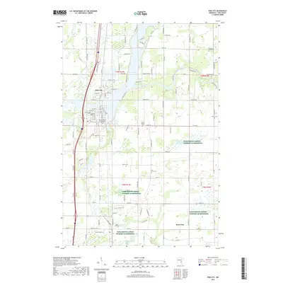 2019 Pine City2019 Print · USGSPine City and the surrounding rural townships of Pine County are shown here in the late 2010s as the community expanded around the Snake River. Researchers can locate numerous local landmarks, from Pine Technical and Community College to smaller sites like Hustletown Union Cem and Rock Creek.
 - 2019 Map of Beroun, 2019 Print
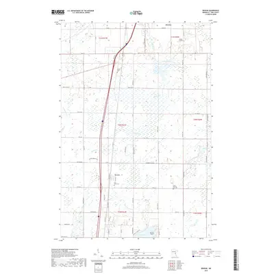 2019 Beroun2019 Print · USGSPine County settlement and infrastructure are captured here in the late 2010s, centered on the community of Beroun. Researchers can trace local heritage at the Czech National Cem 1900 and follow the route of the BNSF Railway past Mission Creek.
 - 2019 Map of Lake Clayton, 2019 Print
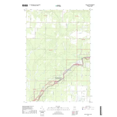 2019 Lake Clayton2019 Print · USGSPine County and the Wisconsin borderlands are defined by the winding river systems shown in this recent survey. Researchers can trace the waterway access points along Nelsons Landing Rd and identify local landmarks like Lake Clayton and Rice Lake.
 - 2022 Map of Grantsburg, 2022 Print
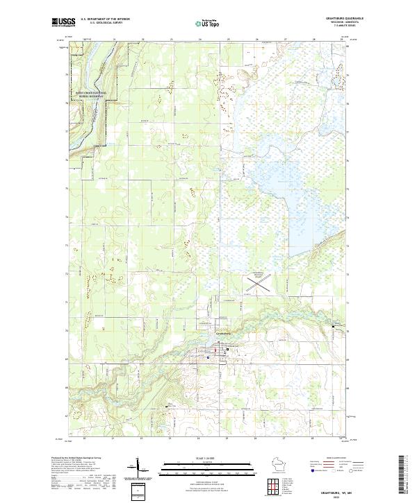 2022 Grantsburg2022 Print · USGSGrantsburg and the Wood River valley are shown here in the 2020s, a landscape defined by expansive northern flowages and the Saint Croix Riverway. Researchers can locate family landmarks like Riverside Cem and Wood River Cem or trace trails around Phantom Lake.
Showing maps 1-25 of 30
Top cities near Chengwatana Township
- Pine City historical maps
- Rush City historical maps
- Grantsburg historical maps
- Hinckley historical maps
- Rock Creek historical maps
- Harris historical maps
See more
Frequently asked questions
- What are the different types of historical maps available for Chengwatana Township?
- What is the oldest map of Chengwatana Township?
- Where can I purchase historical maps of Chengwatana Township for my home or office?
- Where can I download high-res historical maps of Chengwatana Township?
- Are there historical topographic maps available for Chengwatana Township?
- Is there historical aerial imagery available for Chengwatana Township?
- Where are historical maps of Chengwatana Township sourced from?