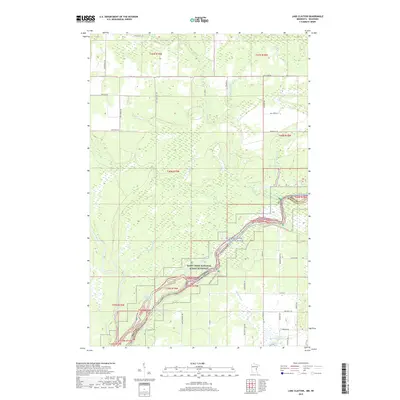
2019 Map of Lake Clayton
USGS Topo · Published 2019About this map
The Saint Croix National Scenic Riverway dominates this landscape along the border of Minnesota and Wisconsin, where the St. Croix River carves through a densely hydrological region. The map highlights a complex network of wetlands and tributaries, including the Kettle River and its accompanying Kettle River Slough, which drain into the St. Croix. This 2019 survey documents a terrain defined by its water features, from the eponymous Lake Clayton in the north to the cluster of Fuhrman Lake and Rice Lake in the south. The road network, including Old Town Hall Rd and Nelsons Landing Rd, suggests a landscape used for both local transit and river access, while the prevalence of named brooks like Bear Brook and Ekdall Brook illustrates the intricate drainage patterns that characterize this riverine environment.
Find a feature on this map
53 named features on this map. Tap any name to fly to it.
Don’t see what you’re looking for? This feature index may not catch every label — zoom into the map to look around manually.
Map Details
Editions of this 2019 Lake Clayton Map
This is the sole edition of this map. No revisions or reprints were ever made.
Other maps of this area

1950 · Grantsburg
USGS Topo · 1:48,000

1953 · Duluth
USGS Topo · 1:250,000

1953 · Stillwater
USGS Topo · 1:250,000

1955 · Stillwater
USGS Topo · 1:250,000

1958 · Stillwater
USGS Topo · 1:250,000

1958 · Duluth
USGS Topo · 1:250,000

1961 · Sandstone
USGS Topo · 1:62,500

1961 · Pine City
USGS Topo · 1:62,500

1962 · Cloverdale
USGS Topo · 1:62,500

1962 · Grantsburg
USGS Topo · 1:62,500