2000s (21st Century) Maps of Nickerson Township, Minnesota
Explore 30 historic maps of Nickerson Township from the 2000s (21st Century). These maps offer a rare glimpse into what life looked like during the 2000s — showing old roads, neighborhoods, homes, and landmarks that have changed or disappeared over time.
Whether you're researching your family's past, planning a metal detecting trip, or studying how Nickerson Township's landscape evolved across the 2000s, these high-resolution maps are a powerful tool for exploring the history of this region.
- Focus on a specific era: All maps on this page are from the 2000s, giving you a focused view of this time period.
- See what’s changed: Compare century-old streets, trails, and buildings to today's modern landscape using overlays and satellite layers.
- Research with precision: Use these maps for genealogy, historical research, land use analysis, or educational projects.
- View, download, or print: Maps are fully viewable online in high resolution, and can be downloaded or printed for your own records.
Start exploring Nickerson Township's history through authentic maps from the 2000s. This is your window into the past.
Nickerson Township, MN maps
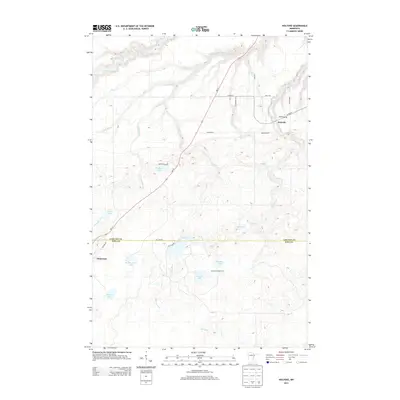
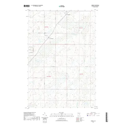
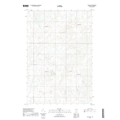
(30)- 2010 Map of Holyoke SW, 2010 Print
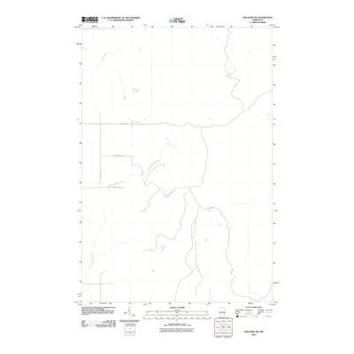 2010 Holyoke SW2010 Print · USGSCovers Nickerson Township, including Park Township, New Dosey Township, and other nearby areas
 - 2010 Map of Kerrick, 2010 Print
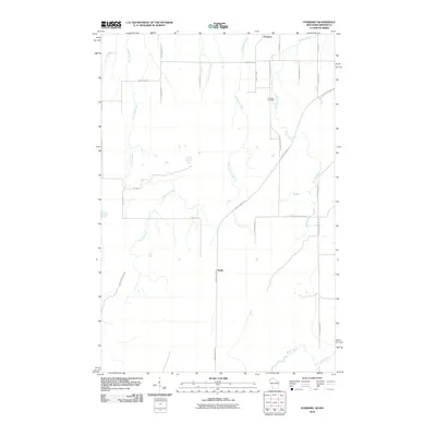
 2010 Kerrick2010 Print · USGSCovers Nickerson Township, including Kerrick, Duquette, and other nearby areas
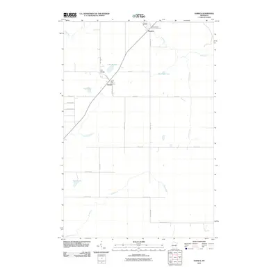
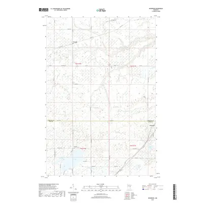
 - 2010 Map of Nickerson, 2010 Print
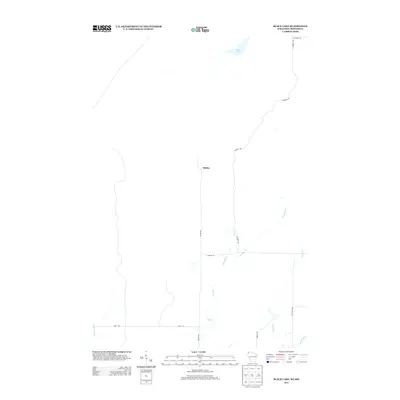
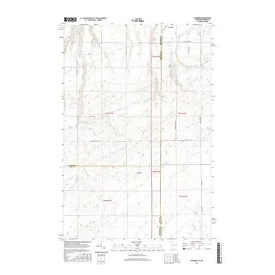
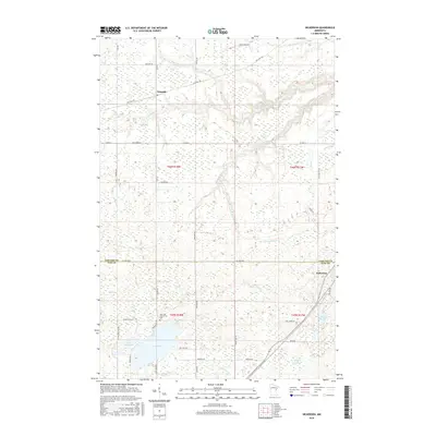
 2010 Nickerson2010 Print · USGSCovers Nickerson Township, including Nemadji, Kerrick Township, and other nearby areas
 - 2010 Map of Foxboro, 2010 Print
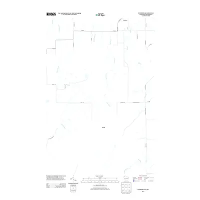
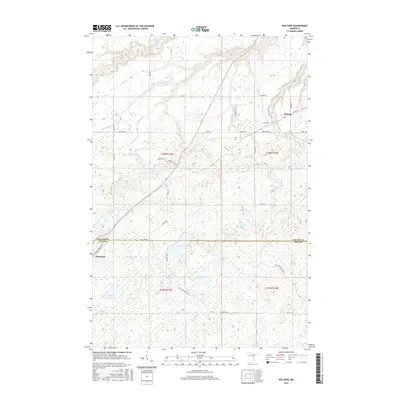
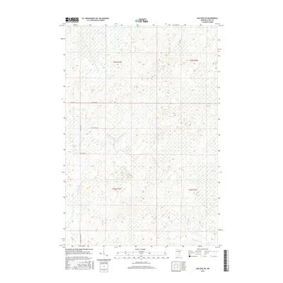
 2010 Foxboro2010 Print · USGSCovers Nickerson Township, including Holyoke Township, Foxboro, and other nearby areas
 - 2010 Map of Black Lake, 2010 Print
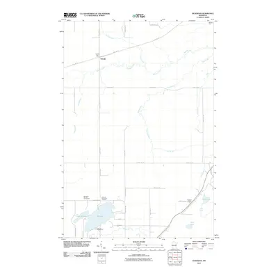
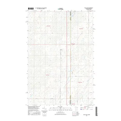
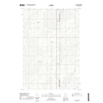
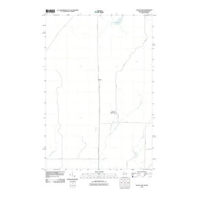 2010 Black Lake2010 Print · USGSCovers Nickerson Township, including Dairyland, Belden, and other nearby areas
 - 2010 Map of Holyoke, 2010 Print
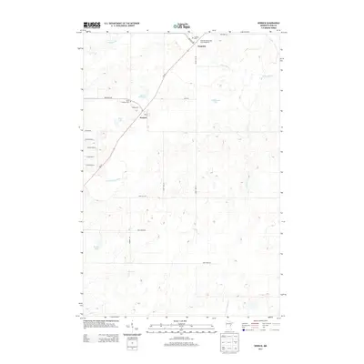
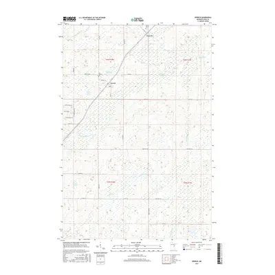
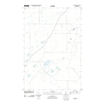 2010 Holyoke2010 Print · USGSCovers Nickerson Township, including Holyoke, Holyoke Township, and other nearby areas
 - 2013 Map of Black Lake, 2013 Print
 2013 Black Lake2013 Print · USGSCovers Nickerson Township, including Dairyland, Belden, and other nearby areas
 - 2013 Map of Foxboro, 2013 Print
 2013 Foxboro2013 Print · USGSCovers Nickerson Township, including Holyoke Township, Foxboro, and other nearby areas
 - 2013 Map of Holyoke, 2013 Print
 2013 Holyoke2013 Print · USGSCovers Nickerson Township, including Holyoke, Holyoke Township, and other nearby areas
 - 2013 Map of Kerrick, 2013 Print
 2013 Kerrick2013 Print · USGSCovers Nickerson Township, including Kerrick, Duquette, and other nearby areas
 - 2013 Map of Holyoke SW, 2013 Print
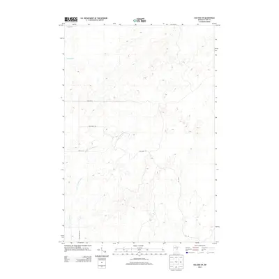 2013 Holyoke SW2013 Print · USGSCovers Nickerson Township, including Park Township, New Dosey Township, and other nearby areas
 - 2013 Map of Nickerson, 2013 Print
 2013 Nickerson2013 Print · USGSCovers Nickerson Township, including Nemadji, Kerrick Township, and other nearby areas
 - 2015 Map of Foxboro, 2015 Print
 2015 Foxboro2015 Print · USGSCovers Nickerson Township, including Holyoke Township, Foxboro, and other nearby areas
 - 2015 Map of Black Lake, 2015 Print
 2015 Black Lake2015 Print · USGSCovers Nickerson Township, including Dairyland, Belden, and other nearby areas
 - 2016 Map of Kerrick, 2016 Print
 2016 Kerrick2016 Print · USGSCovers Nickerson Township, including Kerrick, Duquette, and other nearby areas
 - 2016 Map of Holyoke, 2016 Print
 2016 Holyoke2016 Print · USGSCovers Nickerson Township, including Holyoke, Holyoke Township, and other nearby areas
 - 2016 Map of Nickerson, 2016 Print
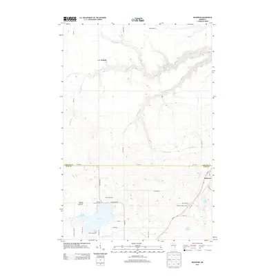
 2016 Nickerson2016 Print · USGSCovers Nickerson Township, including Nemadji, Kerrick Township, and other nearby areas
 - 2016 Map of Holyoke SW, 2016 Print
 2016 Holyoke SW2016 Print · USGSCovers Nickerson Township, including Park Township, New Dosey Township, and other nearby areas
 - 2018 Map of Black Lake, 2018 Print
 2018 Black Lake2018 Print · USGSCovers Nickerson Township, including Dairyland, Belden, and other nearby areas
 - 2018 Map of Foxboro, 2018 Print
 2018 Foxboro2018 Print · USGSCovers Nickerson Township, including Holyoke Township, Foxboro, and other nearby areas
 - 2019 Map of Kerrick, 2019 Print
 2019 Kerrick2019 Print · USGSCovers Nickerson Township, including Kerrick, Duquette, and other nearby areas
 - 2019 Map of Nickerson, 2019 Print
 2019 Nickerson2019 Print · USGSCovers Nickerson Township, including Nemadji, Kerrick Township, and other nearby areas
 - 2019 Map of Holyoke SW, 2019 Print
 2019 Holyoke SW2019 Print · USGSCovers Nickerson Township, including Park Township, New Dosey Township, and other nearby areas
 - 2019 Map of Holyoke, 2019 Print
 2019 Holyoke2019 Print · USGSCovers Nickerson Township, including Holyoke, Holyoke Township, and other nearby areas
 - 2022 Map of Foxboro, 2022 Print
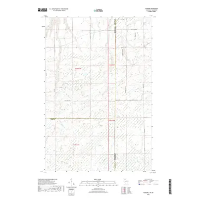
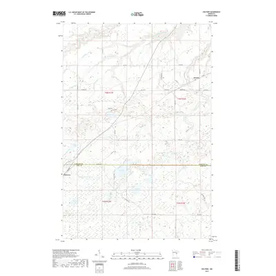
 2022 Foxboro2022 Print · USGSThe Wisconsin-Minnesota borderlands come into focus in this contemporary survey of Douglas County’s forested interior. Local historians can trace family locations near Foxboro or Harlis, and locate the Summit Cem tucked between the Gandy Dancer State Trl and Summit Lake.
Showing maps 1-25 of 30
Top cities near Nickerson Township
- Mahtowa historical maps
- Holyoke historical maps
- Dairyland historical maps
- Kerrick historical maps
- Duquette historical maps
- Kingsdale historical maps
Top neighborhoods of Nickerson Township
Frequently asked questions
- What are the different types of historical maps available for Nickerson Township?
- What is the oldest map of Nickerson Township?
- Where can I purchase historical maps of Nickerson Township for my home or office?
- Where can I download high-res historical maps of Nickerson Township?
- Are there historical topographic maps available for Nickerson Township?
- Is there historical aerial imagery available for Nickerson Township?
- Where are historical maps of Nickerson Township sourced from?