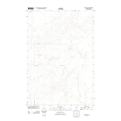
2013 Map of Holyoke SW
USGS Topo · Published 2013About this map
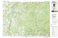
Lower Tamarack River winds through this Pine County landscape, its course defining much of the drainage pattern in this section of Nickerson Township. The terrain is characterized by intricate hydrography, where the headwaters of the Willow River meet a complex network of wetlands and small basins. The 2013 survey reveals a sparsely populated area primarily structured by rural corridors such as Park Forest Rd and Lower Tamarack Rd. These routes, along with Park Hills Rd and Rash Rd, provide the primary access through the wooded and marshy lowlands typical of this part of Minnesota. The map serves as a clear record of the modern road network and natural watercourses before any further shift in local land use or forestry practices occurred.
Find a feature on this map
8 named features on this map. Tap any name to fly to it.
Don’t see what you’re looking for? This feature index may not catch every label — zoom into the map to look around manually.
Map Details
Editions of this 2013 Holyoke SW Map
This is the sole edition of this map. No revisions or reprints were ever made.
Other maps of this area
1949 · Danbury
USGS Topo · 1:48,000
1949 · Holyoke
USGS Topo · 1:48,000

1953 · Duluth
USGS Topo · 1:250,000
1954 · Foxboro
USGS Topo · 1:24,000

1958 · Duluth
USGS Topo · 1:250,000
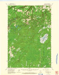
1962 · Holyoke
USGS Topo · 1:62,500
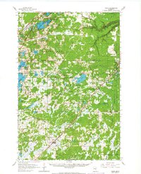
1962 · Bruno
USGS Topo · 1:62,500
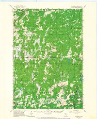
1962 · Cloverdale
USGS Topo · 1:62,500
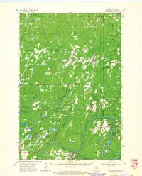
1962 · Danbury
USGS Topo · 1:62,500
1980 · Sandstone
USGS Topo · 1:100,000