2020s Maps of Polk County, Minnesota
Explore 74 historic maps of Polk County from the 2020s. These maps offer a rare glimpse into what life looked like during the 2020s — showing old roads, neighborhoods, homes, and landmarks that have changed or disappeared over time.
Whether you're researching your family's past, planning a metal detecting trip, or studying how Polk County's landscape evolved across the 2020s, these high-resolution maps are a powerful tool for exploring the history of this region.
- Focus on a specific era: All maps on this page are from the 2020s, giving you a focused view of this time period.
- See what’s changed: Compare century-old streets, trails, and buildings to today's modern landscape using overlays and satellite layers.
- Research with precision: Use these maps for genealogy, historical research, land use analysis, or educational projects.
- View, download, or print: Maps are fully viewable online in high resolution, and can be downloaded or printed for your own records.
Start exploring Polk County's history through authentic maps from the 2020s. This is your window into the past.
Polk County, MN maps
(74)- 2020 Map of Manvel, 2020 Print
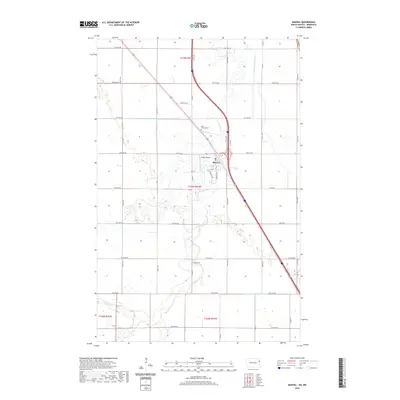 2020 Manvel2020 Print · USGSCovers Polk County, including Manvel, Grand Forks County, and other nearby areas
 - 2020 Map of Climax NW, 2020 Print
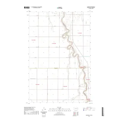 2020 Climax NW2020 Print · USGSCovers Polk County, including Grand Forks County, Traill County, and other nearby areas
 - 2020 Map of Climax SW, 2020 Print
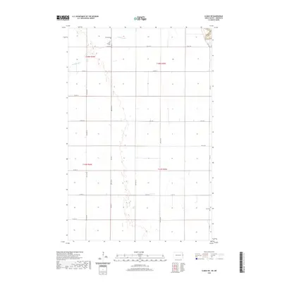 2020 Climax SW2020 Print · USGSCovers Polk County, including Traill County, United States, and other nearby areas
 - 2020 Map of Grand Forks, 2020 Print
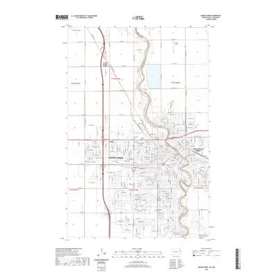 2020 Grand Forks2020 Print · USGSCovers Polk County, including Grand Forks, East Grand Forks, and other nearby areas
 - 2020 Map of Thompson, 2020 Print
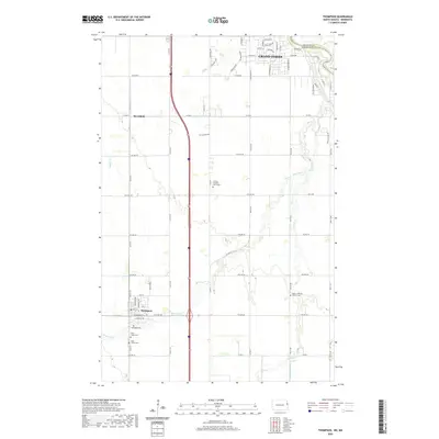 2020 Thompson2020 Print · USGSCovers Polk County, including Grand Forks, Thompson, and other nearby areas
 - 2022 Map of Roan, 2022 Print
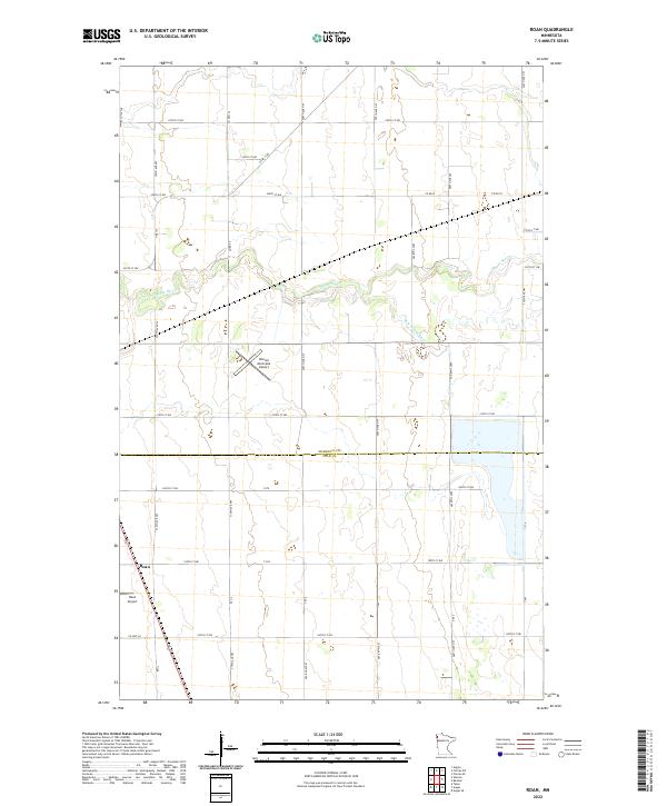 2022 Roan2022 Print · USGSThe Marshall and Polk County border comes alive in this contemporary survey of the Minnesota prairie. Researchers can trace the winding Snake River and locate local landmarks like the Roan Airport and Warren Municipal Airport.
 - 2022 Map of Angus, 2022 Print
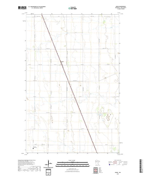 2022 Angus2022 Print · USGSIn the fertile Red River Valley during the early twenty-first century, this area of Polk County remains a testament to disciplined prairie settlement. Genealogists and local researchers can locate the Saint Pauls Lutheran Cem and trace the rural road network surrounding Angus.
 - 2022 Map of Angus SE, 2022 Print
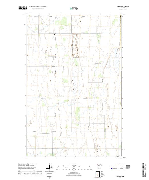 2022 Angus SE2022 Print · USGSPolk County in the 2020s remains a landscape of vast agricultural sections and straight section-line roads. Researchers can locate Melo Lutheran Cem and follow rural routes like Co Hwy 23, Field Rd, and Center St W across the Red River Valley floor.
 - 2022 Map of Warren, 2022 Print
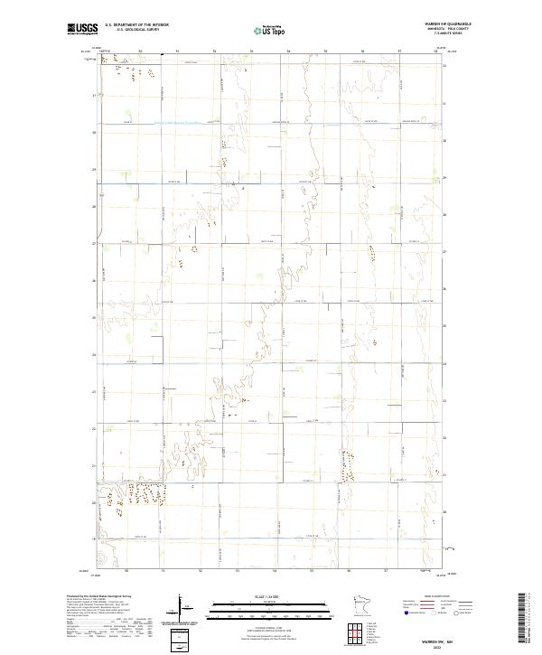
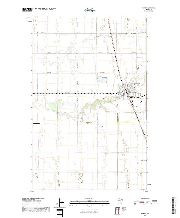 2022 Warren2022 Print · USGSThe city of Warren and the fertile plains of the northern Red River Valley are captured here in the early twenty-first century. Genealogists and local historians can trace the Marshall County Courthouse, explore Greenwood Cem, and follow the winding path of the Snake River.
 - 2022 Map of Viking SW, 2022 Print
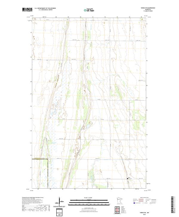 2022 Viking SW2022 Print · USGSNorthwestern Minnesota farm country is mapped here in the early twenty-first century, spanning the border of Pennington and Polk counties. Genealogists and local historians can locate the Black River Cem or trace the drainage of the Goose Lake Swamp and Black River.
 - 2022 Map of Alvarado, 2022 Print
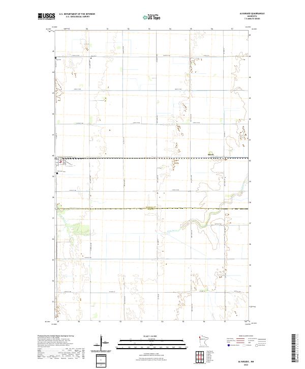 2022 Alvarado2022 Print · USGSMarshall County's fertile plains are shown in high detail during the early 2020s, highlighting the enduring agricultural layout of the region. Genealogists can locate family landmarks like Vega Cem and Oak Lawn Cem near the quiet settlement of March.
 - 2022 Map of Radium, 2022 Print
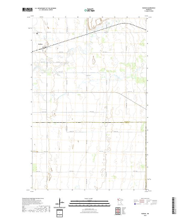 2022 Radium2022 Print · USGSThe rural crossing at Radium and the surrounding farmland of Marshall County are documented here in the early twenty-first century. Researchers can trace property lines near the Snake River or locate family sites at Immanuel Cem and along the S Br Snake River.
 - 2022 Map of Warren SW, 2022 Print
 2022 Warren SW2022 Print · USGSPolk County land near the Red River Valley shows a landscape defined by industrial-scale agriculture and water management in the early twenty-first century. Researchers can trace the path of Judicial Ditch Number Seventyfive and the intersection of Co Hwy 67 and Co Rd 262.
 - 2022 Map of Tabor, 2022 Print
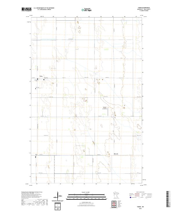 2022 Tabor2022 Print · USGSThe rural Polk County prairie is captured here in the early 2020s, showing a landscape defined by century-old farmsteads and managed waterways. Family historians can locate specific sites like the Holy Trinity Catholic Cem near Tabor or the Pulkrabek Private Landing Field.
 - 2022 Map of Gentilly, 2022 Print
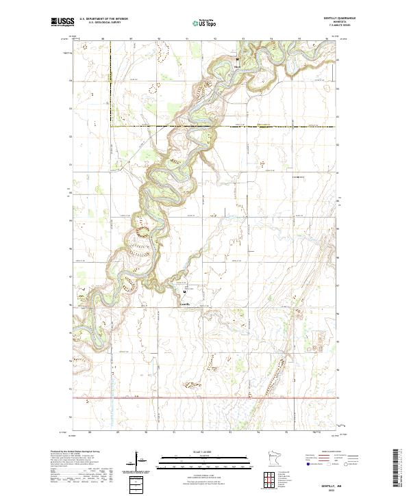 2022 Gentilly2022 Print · USGSNorthwestern Minnesota's prairie rivers and rural townships come into focus here during the early twenty-first century. Genealogists and local historians can trace the bends of the Red Lake River and locate landmarks like Saint Peters Cem and Huot Cem.
 - 2022 Map of Dugdale, 2022 Print
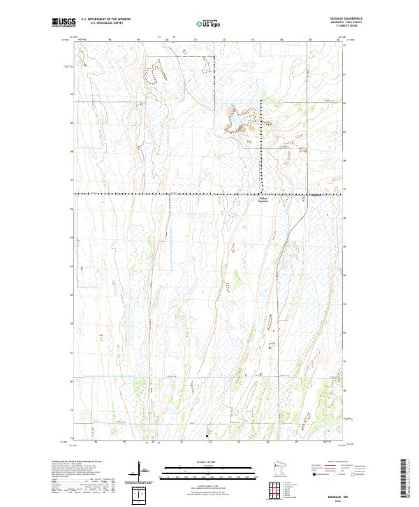 2022 Dugdale2022 Print · USGSPolk County agriculture and water management are the focus of this contemporary study of the Red River Valley. Genealogists and local historians can trace the intersection of rural life at Dugdale, Tilden Junction, and the historic Our Saviors Cem.
 - 2022 Map of Eldred, 2022 Print
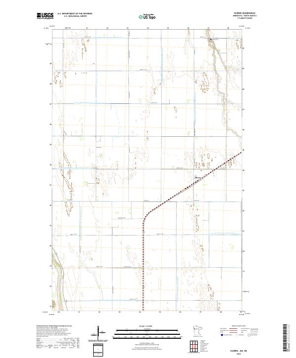 2022 Eldred2022 Print · USGSThis late twentieth-century survey captures the engineered agricultural landscape of Polk County during a period of refined water management. Genealogists and local historians can locate the Bardo Cem and trace the drainage network of Eldred through County Ditch Number One Hundred Sixteen.
 - 2022 Map of Dorothy, 2022 Print
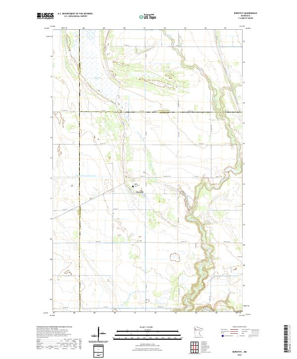 2022 Dorothy2022 Print · USGSRed Lake County and its neighbors come alive in this contemporary record of a persistent prairie landscape. Family historians can locate Saint Dorothy's Cem near Dorothy or trace the historic Pembina Trl across the agricultural plains.
 - 2022 Map of Marcoux Corners, 2022 Print
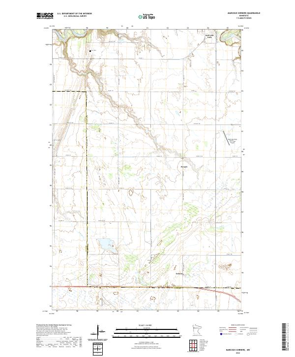 2022 Marcoux Corners2022 Print · USGSNorthern Minnesota’s river valleys and rural crossroads are captured here during the early twenty-first century. Genealogists can trace the Cyr Cem and the small settlements of Delorme and Perault along the county line.
 - 2022 Map of Girard, 2022 Print
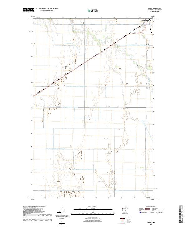 2022 Girard2022 Print · USGSPolk County agriculture and drainage patterns are on full display in this recent survey of the Minnesota prairie. Genealogists and local historians can trace the grid of section roads to find Andover Cem or the small settlements of Wilds and Girard.
 - 2022 Map of Ranum, 2022 Print
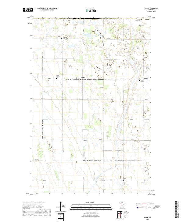 2022 Ranum2022 Print · USGSNorman County remains a landscape of quiet prairie townships and deep-rooted heritage as seen in the 2020s. Genealogists can trace family footprints across several rural sites including Faaberg Lutheran Cem, the International Order of Good Templars Cem, and Ranum.
 - 2022 Map of Flaming, 2022 Print
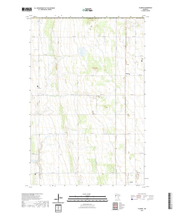 2022 Flaming2022 Print · USGSNorman County in the early 2020s is a landscape of expansive prairie farms and quiet rural crossroads. Genealogists and local researchers can locate family sites at Old Sundal Cem and Spring Creek Cem or trace the route of Spring Creek.
 - 2022 Map of Shelly, 2022 Print
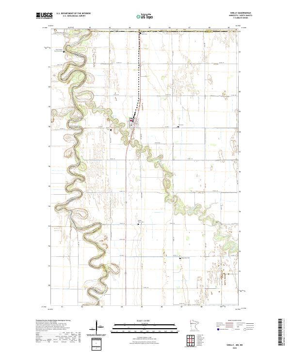 2022 Shelly2022 Print · USGSThe Minnesota-North Dakota borderlands are captured here in the early 2020s, dominated by the winding Red River of the North. Genealogists can trace family landmarks like the Traill County Poor Farm Cem and Marsh River Cem near the town of Shelly.
 - 2022 Map of Crookston SW, 2022 Print
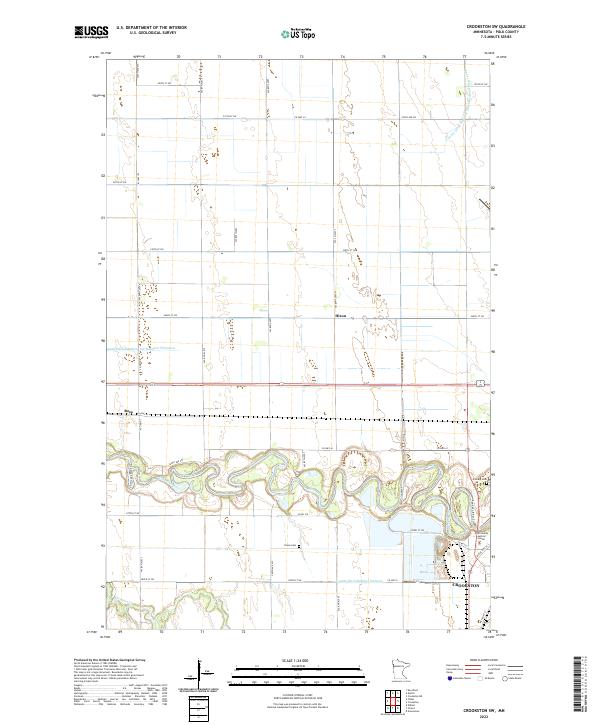 2022 Crookston SW2022 Print · USGSIn the Red River Valley during the early 2020s, this area west of the county seat shows a landscape of precision agriculture and river bends. Researchers can trace the winding Red Lake River past Calvary Cem, Union Cem, and the small siding at Hixon.
 - 2022 Map of Union Lake, 2022 Print
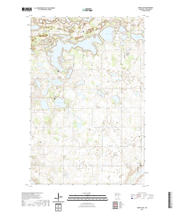 2022 Union Lake2022 Print · USGSThis rural portion of Polk County features a dense landscape of glacial lakes and prairie wetlands in the early twenty-first century. Genealogists and local historians can locate several rural burial grounds, including Union Lake Cem and Lima Cem.
Showing maps 1-25 of 74
Top cities of Polk County
- East Grand Forks historical maps
- Crookston historical maps
- Fosston historical maps
- Fertile historical maps
- McIntosh historical maps
- Fisher historical maps
See more
Frequently asked questions
- What are the different types of historical maps available for Polk County?
- What is the oldest map of Polk County?
- Where can I purchase historical maps of Polk County for my home or office?
- Where can I download high-res historical maps of Polk County?
- Are there historical topographic maps available for Polk County?
- Is there historical aerial imagery available for Polk County?
- Where are historical maps of Polk County sourced from?