2010s Maps of Polk County, Minnesota
Explore 271 historic maps of Polk County from the 2010s. These maps offer a rare glimpse into what life looked like during the 2010s — showing old roads, neighborhoods, homes, and landmarks that have changed or disappeared over time.
Whether you're researching your family's past, planning a metal detecting trip, or studying how Polk County's landscape evolved across the 2010s, these high-resolution maps are a powerful tool for exploring the history of this region.
- Focus on a specific era: All maps on this page are from the 2010s, giving you a focused view of this time period.
- See what’s changed: Compare century-old streets, trails, and buildings to today's modern landscape using overlays and satellite layers.
- Research with precision: Use these maps for genealogy, historical research, land use analysis, or educational projects.
- View, download, or print: Maps are fully viewable online in high resolution, and can be downloaded or printed for your own records.
Start exploring Polk County's history through authentic maps from the 2010s. This is your window into the past.
Polk County, MN maps
(271)- 2010 Map of Trail, 2010 Print
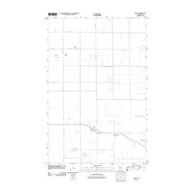 2010 Trail2010 Print · USGSGully and Trail are captured in this early twenty-first-century survey as they appeared amidst the farmland of Polk County. Researchers can trace local lineage through several family-named burial sites including Mount Olive Cemetery and Sand Valley Cemetery.
 - 2010 Map of Fosston East, 2010 Print
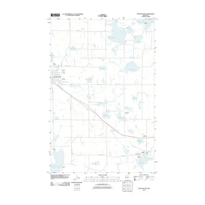 2010 Fosston East2010 Print · USGSEastern Polk County at the start of the decade is a landscape of glacial lakes and small rural settlements. Genealogists can trace family sites at Landstad Cemetery and Kingo Cemetery, or locate the Lengby Post Office and Sand Hill Lake Dam.
 - 2010 Map of Gully, 2010 Print
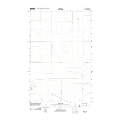 2010 Gully2010 Print · USGSNorthwestern Minnesota farm country and the village of Gully are captured in the first decade of the new millennium. Family historians can locate the Gully Cemetery and Gully Post Office, or trace the winding course of the Lost River through the prairie.
 - 2010 Map of Gully NW, 2010 Print
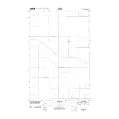 2010 Gully NW2010 Print · USGSPolk County at the turn of the twenty-first century reveals a landscape of precision agriculture and early cemetery sites. Genealogists can trace family roots at Nazareth Cemetery or follow the winding Clearwater River and Judicial Ditch Number One.
 - 2010 Map of Gonvick, 2010 Print
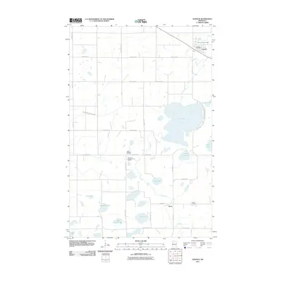 2010 Gonvick2010 Print · USGSClearwater County in the early twenty-first century remains a landscape of glacial lakes and quiet crossroads. Genealogists can trace family roots at the Queen Township Cemetery or follow the Lost River as it passes Gonvick and Weme.
 - 2010 Map of Fosston West, 2010 Print
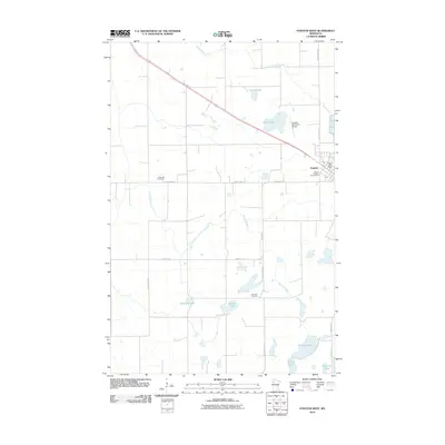 2010 Fosston West2010 Print · USGSFosston and the surrounding prairie of Polk County are documented here in the early twenty-first century. Genealogists and local historians can trace rural cemetery sites like Landsverk Cemetery and Hansville Cemetery alongside the banks of the Sand Hill River.
 - 2010 Map of Oklee SW, 2010 Print
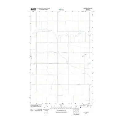 2010 Oklee SW2010 Print · USGSRed Lake County's agricultural landscape is captured here in the early twenty-first century as a network of rivers and section roads. Researchers can trace family history at Saint Francis Xavier Cemetery or locate the Oklee Racetrack and Bachand Airport.
 - 2010 Map of Winger, 2010 Print
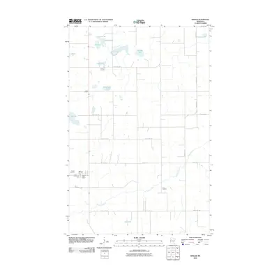 2010 Winger2010 Print · USGSThe rural landscape around Winger comes into focus in this 2010 survey of northwestern Minnesota. Genealogists and local historians can trace family ties through numerous sites including Gosen Cemetery, Dovre Cemetery, and the Sand Hill River corridor.
 - 2010 Map of Oklee, 2010 Print
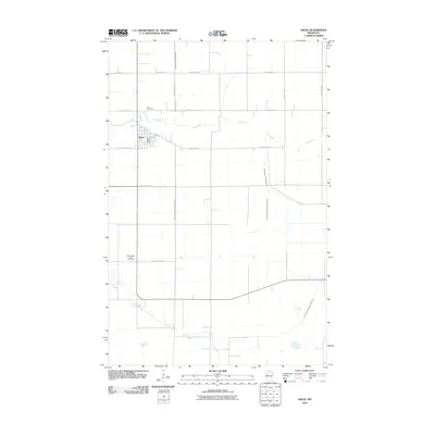 2010 Oklee2010 Print · USGSThe township of Oklee and its surrounding Red Lake County farmland are shown here just after the turn of the millennium. Researchers can trace the courses of the Lost River and Hill River alongside local landmarks like Zion Cemetery and the Oklee Post Office.
 - 2010 Map of Olga, 2010 Print
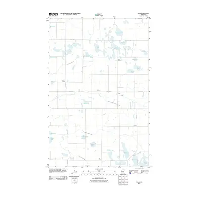 2010 Olga2010 Print · USGSPolk County at the turn of the 21st century reveals a landscape of prairie wetlands and deep family roots. Researchers can trace the lineage of this rural community through the numerous burial grounds like Zion and Queen Cemetery, or locate family-named landmarks including Sorby Lake and Syverson Lake.
 - 2010 Map of McIntosh NE, 2010 Print
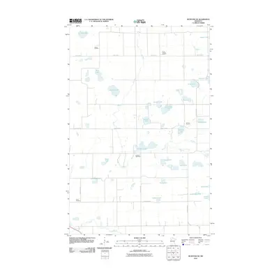 2010 McIntosh NE2010 Print · USGSPolk County at the turn of the twenty-first century is a landscape of glacial basins and quiet rural roads. Researchers can trace local lineage through burial sites like Oakland Cemetery and Asphalt Cemetery or locate landmarks such as the Hill River Lake Dam.
 - 2010 Map of McIntosh, 2010 Print
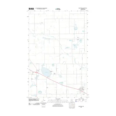 2010 McIntosh2010 Print · USGSThe community of McIntosh is captured here during the early twenty-first century, surrounded by a landscape of glacial lakes and prairie farms. Genealogists and local historians can locate many rural burial sites such as Trinity Cemetery, Salem Cemetery, and Pioneer Cemetery.
 - 2010 Map of Angus, 2010 Print
 2010 Angus2010 Print · USGSPolk County agriculture is at the forefront of this 2010 survey of the Red River Valley. Genealogists and local historians can locate Angus and trace nearby burial grounds such as Saint Pauls Cemetery and Prairie View Cemetery.
 - 2010 Map of Radium, 2010 Print
 2010 Radium2010 Print · USGSThe rural landscape of Marshall County at the start of the 2010s is defined by its agricultural grid and the winding Snake River. Genealogists and local historians can locate the community of Radium and the nearby Immanuel Cemetery along the area's many section-line roads.
 - 2010 Map of Terrebonne, 2010 Print
 2010 Terrebonne2010 Print · USGSRed Lake County's agricultural heartland is documented here in the early twenty-first century, centered on the riverside hamlet of Terrebonne. Researchers can locate family sites near Saint Anthony Cemetery and Evergreen Cemetery or trace the course of the Clearwater River.
 - 2010 Map of Angus SE, 2010 Print
 2010 Angus SE2010 Print · USGSAgricultural life in rural Polk County during the early twenty-first century is defined by its precise road grids and quiet landmarks. Genealogists and local historians can locate Melo Lutheran Cemetery and trace property boundaries along County Hwy-23 and Center St W.
 - 2010 Map of Tabor, 2010 Print
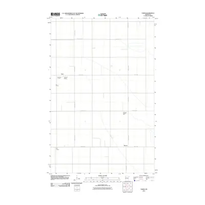 2010 Tabor2010 Print · USGSThe agricultural heart of Polk County is captured here in the early twenty-first century, showing a landscape shaped by drainage and family heritage. Genealogists can locate several burial sites including Presbyterian Cemetery and Holy Trinity Catholic Cemetery near Tabor.
 - 2010 Map of Alvarado, 2010 Print
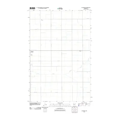 2010 Alvarado2010 Print · USGSAlvarado and the surrounding Marshall County prairie are captured here during a period of modern agricultural stability. Researchers can locate family roots at Oak Lawn Cemetery and Vega Cemetery, or trace the winding course of the Snake River through the grid.
 - 2010 Map of Union Lake, 2010 Print
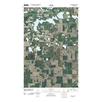 2010 Union Lake2010 Print · USGSPolk County at the turn of the 21st century remains a landscape of glacial lakes and scattered rural homesteads. Genealogists and local historians can locate several historic burial sites like Lima Cemetery or Storelvedalen Cemetery and trace the shoreline developments around Union Lake.
 - 2010 Map of Twin Valley NW, 2010 Print
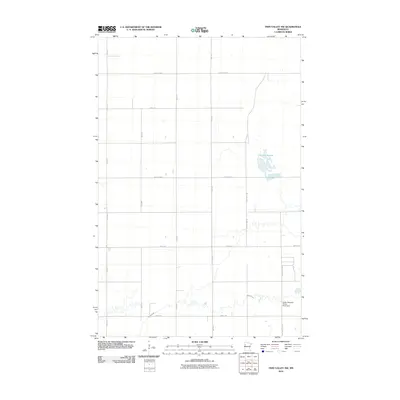 2010 Twin Valley NW2010 Print · USGSPolk County at the turn of the millennium remains a landscape of sprawling wetlands and precise agricultural grids. Genealogists and local historians can trace the rural infrastructure around Lockhart Swamp or locate the Green Meadow Group Pond Dam along Spring Creek.
 - 2010 Map of Roan, 2010 Print
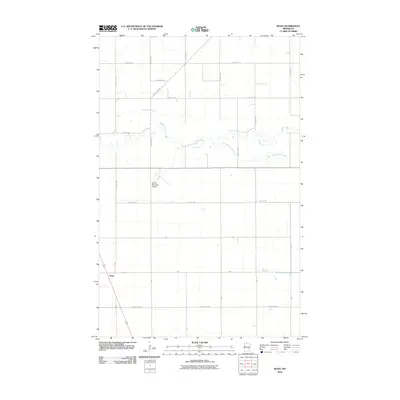 2010 Roan2010 Print · USGSThe rural landscape around Roan and the Red River Valley is captured here just over a decade ago. Local historians can trace the paths of the Snake River and South Branch Snake River or locate the Warren Municipal Airport among the area's agricultural grids.
 - 2010 Map of Warren, 2010 Print
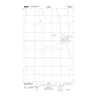 2010 Warren2010 Print · USGSWarren sits along the winding Snake River in the heart of Marshall County during the early 2010s. Researchers can trace local lineage at the Greenwood Cemetery and Catholic Cemetery, or locate regional landmarks like the Roan Airport and Warren Riverside Golf Course.
 - 2010 Map of Viking SW, 2010 Print
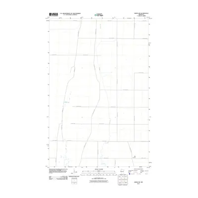 2010 Viking SW2010 Print · USGSAgricultural lands in Polk County are documented here at the start of the 2010s, revealing a landscape defined by section lines and river bends. Genealogists and historians can locate the Black River Cemetery and trace the historic route of the Pembina Trl as it cuts across the modern grid.
 - 2010 Map of Warren SW, 2010 Print
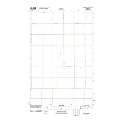 2010 Warren SW2010 Print · USGSPolk County, Minnesota, is shown here as a structured agricultural landscape in the early twenty-first century. Genealogists and local historians can locate Nyskoga Cemetery and trace the drainage network of Judicial Ditch 75 among the rural section roads.
 - 2010 Map of Erskine, 2010 Print
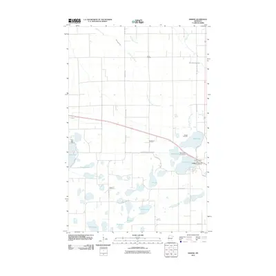 2010 Erskine2010 Print · USGSErskine and its surrounding lake country are documented here in the early twenty-first century. Researchers can locate the Erskine Post Office and trace local family lineages through Saron Lutheran Cemetery, Rodnes Cemetery, and Broderheim Cemetery.
Showing maps 1-25 of 271
Top cities of Polk County
- East Grand Forks historical maps
- Crookston historical maps
- Fosston historical maps
- Fertile historical maps
- McIntosh historical maps
- Fisher historical maps
See more
Frequently asked questions
- What are the different types of historical maps available for Polk County?
- What is the oldest map of Polk County?
- Where can I purchase historical maps of Polk County for my home or office?
- Where can I download high-res historical maps of Polk County?
- Are there historical topographic maps available for Polk County?
- Is there historical aerial imagery available for Polk County?
- Where are historical maps of Polk County sourced from?