2020s Maps of Renville County, Minnesota
Explore 36 historic maps of Renville County from the 2020s. These maps offer a rare glimpse into what life looked like during the 2020s — showing old roads, neighborhoods, homes, and landmarks that have changed or disappeared over time.
Whether you're researching your family's past, planning a metal detecting trip, or studying how Renville County's landscape evolved across the 2020s, these high-resolution maps are a powerful tool for exploring the history of this region.
- Focus on a specific era: All maps on this page are from the 2020s, giving you a focused view of this time period.
- See what’s changed: Compare century-old streets, trails, and buildings to today's modern landscape using overlays and satellite layers.
- Research with precision: Use these maps for genealogy, historical research, land use analysis, or educational projects.
- View, download, or print: Maps are fully viewable online in high resolution, and can be downloaded or printed for your own records.
Start exploring Renville County's history through authentic maps from the 2020s. This is your window into the past.
Renville County, MN maps
(36)- 2022 Map of Fairfax, 2022 Print
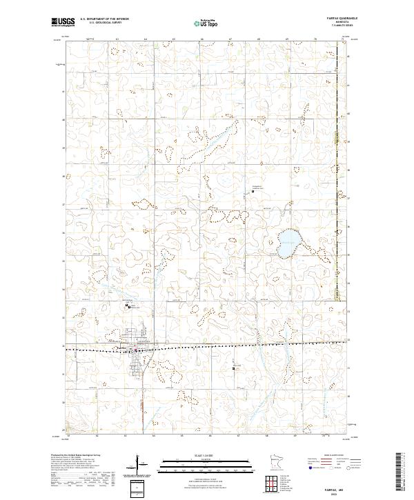 2022 Fairfax2022 Print · USGSFairfax and the surrounding prairie of Renville County are shown here in the early twenty-first century, revealing a landscape deeply shaped by agricultural engineering. Local historians can trace family burial sites at Saint Andrews Cem and Cairo Cem while following the intricate paths of Judicial Ditch Number Thirty.
 - 2022 Map of Morton NW, 2022 Print
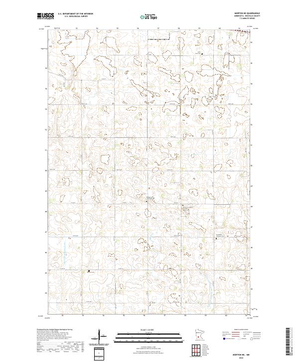
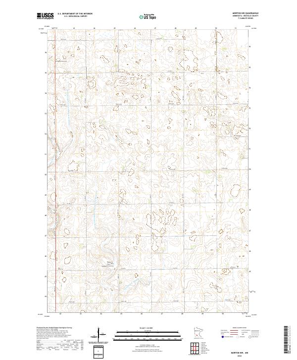 2022 Morton NW2022 Print · USGSRenville County's prairie landscape is captured here in the early twenty-first century, showcasing a highly organized agricultural and drainage network. Researchers can locate specific family operations like Lothert's Farm Strip and trace the paths of E Fork Beaver Cr and numerous historic county ditches.
 - 2022 Map of Prinsburg, 2022 Print
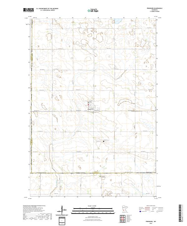 2022 Prinsburg2022 Print · USGSThe community of Prinsburg and the surrounding farmland of Kandiyohi County are captured here in the early twenty-first century. Genealogists can locate family landmarks like the Holland Cem and Old Swedish Lutheran Cem tucked among the section lines.
 - 2022 Map of Olivia SE, 2022 Print
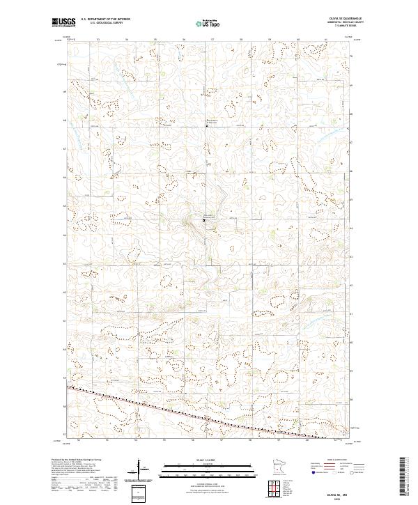 2022 Olivia SE2022 Print · USGSRenville County farmland in the early twenty-first century is organized by a precise grid of rural roads and essential drainage infrastructure. Researchers can locate family heritage sites at the United Church of Hope Cem or trace the path of Buffalo Cr.
 - 2022 Map of Danube, 2022 Print
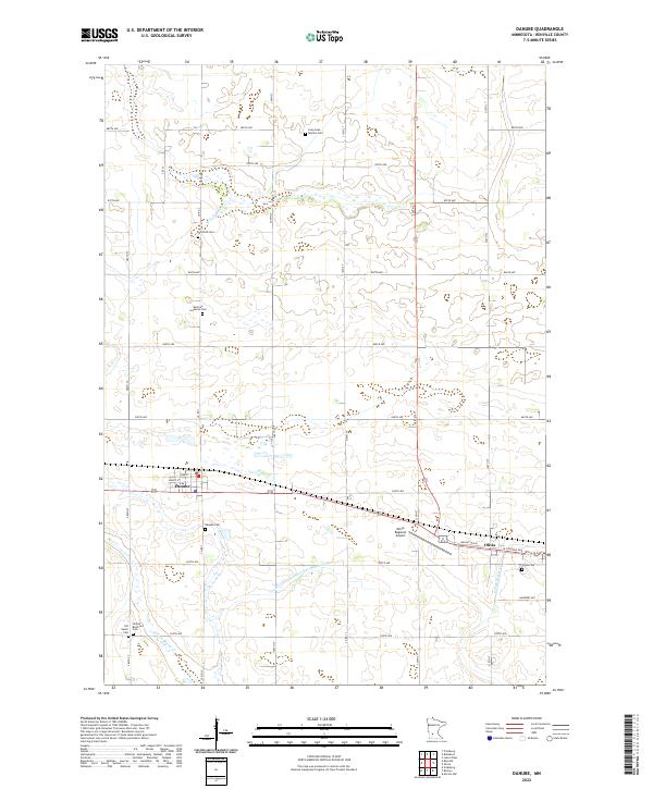 2022 Danube2022 Print · USGSRenville County farmland is captured here in the early twenty-first century, showing the grid-based settlement of Danube and Olivia. Family historians can locate numerous rural burial sites like Winfield Cem and United Brethren Cem.
 - 2022 Map of Delhi, 2022 Print
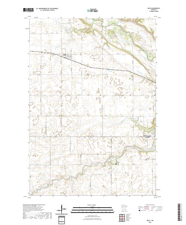 2022 Delhi2022 Print · USGSThe rural settlement of Delhi is captured in this contemporary survey, reflecting the enduring agricultural patterns of the Minnesota prairie. Researchers can trace the section lines and the engineered course of County Ditch Number Ninetyfive.
 - 2022 Map of Redwood Falls, 2022 Print
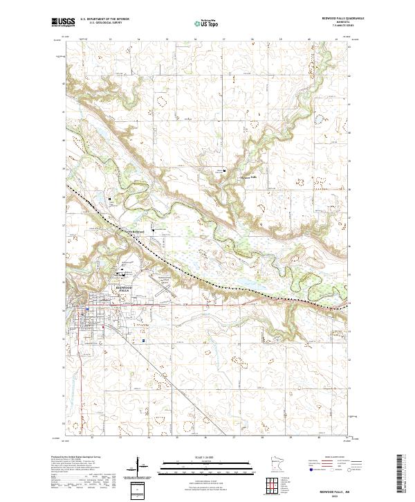 2022 Redwood Falls2022 Print · USGSRedwood Falls and the winding Minnesota River valley appear here in the early 2020s, showing a landscape rich with family history and administrative roots. Genealogists can locate several unique sites like the Camp Pope Burial Plot and Riverside Cem near North Redwood.
 - 2022 Map of Buffalo Lake, 2022 Print
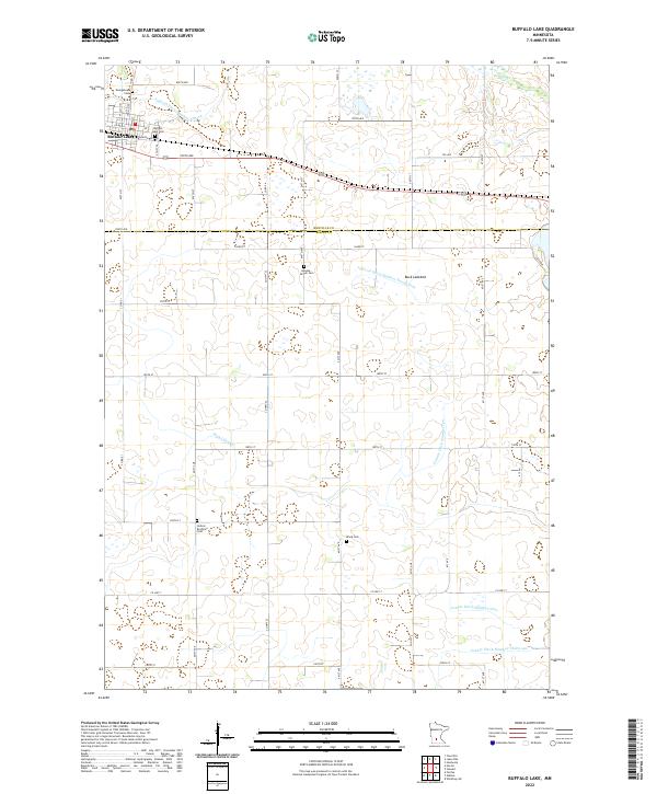 2022 Buffalo Lake2022 Print · USGSThe town of Buffalo Lake is the centerpiece of this agrarian landscape near the turn of the century. Genealogists can trace several local burial grounds including Knopke - Brown Cem and the United Brethren Cem among the prairie drainage ditches.
 - 2022 Map of Minnesota Falls, 2022 Print
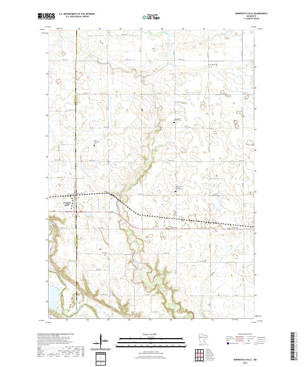 2022 Minnesota Falls2022 Print · USGSThe river-carved landscape of western Minnesota is shown here in the 2020s, centering on the rural intersections of Renville and Chippewa counties. Genealogists can locate family sites at First Township Cem, Vestre Sogn Lutheran Cem, and the riverfront edge of Granite Falls.
 - 2022 Map of Blomkest, 2022 Print
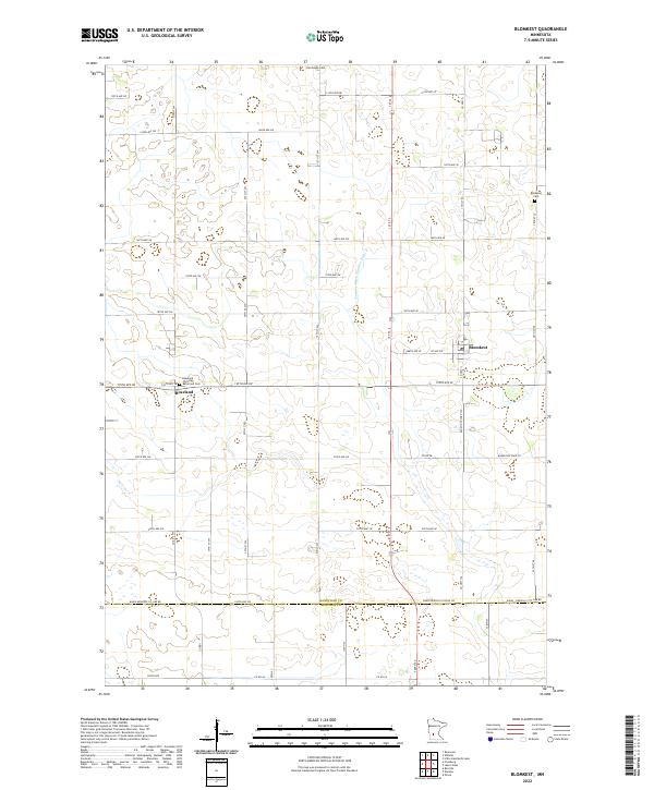 2022 Blomkest2022 Print · USGSThe southern Kandiyohi prairie at the start of the 2020s shows a landscape deeply shaped by agricultural engineering and tight-knit settlements. Genealogists can trace family roots through Roseland Christian Reformed Cem, Hardanger Cem, and the village of Blomkest.
 - 2022 Map of Bechyn, 2022 Print
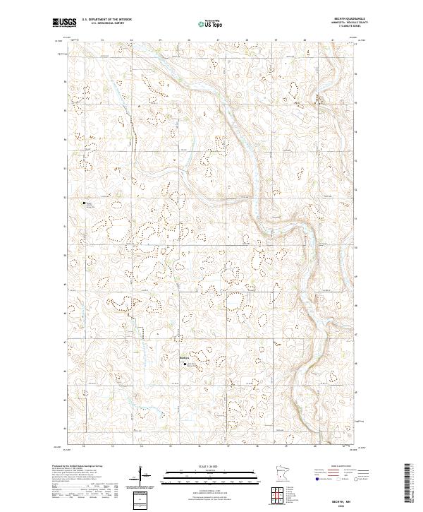 2022 Bechyn2022 Print · USGSRenville County agricultural lands are captured here in the early twenty-first century, showing the intersection of family heritage and industrial farming. Genealogists and local historians can locate Saint Mary's Bechyn Cem and the Theile - Schafer Grave Site along the banks of Beaver Cr.
 - 2022 Map of Churchill, 2022 Print
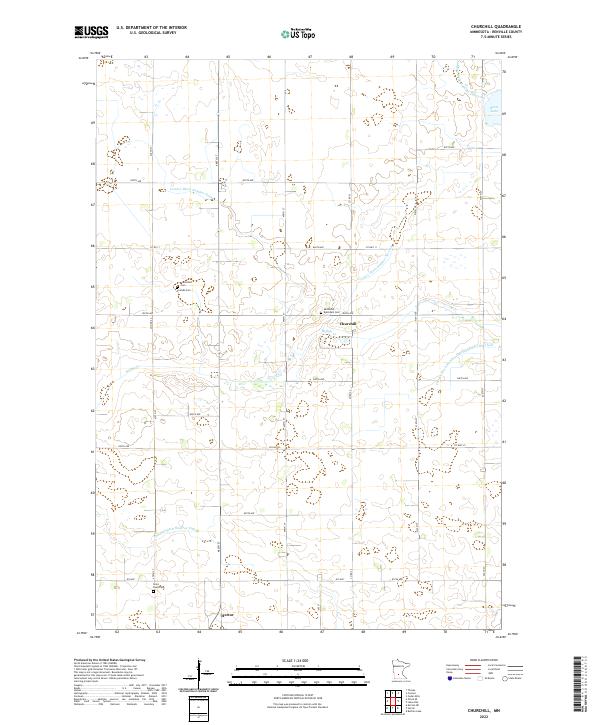 2022 Churchill2022 Print · USGSRenville County farmland is shown in high detail during the early 2020s, revealing a landscape shaped by prairie drainage and long-standing rural communities. Researchers can locate several historic burial sites, including Brookfield Cem, Friends Cem, and the Methodist Episcopal Cem.
 - 2022 Map of Iverson Lake, 2022 Print
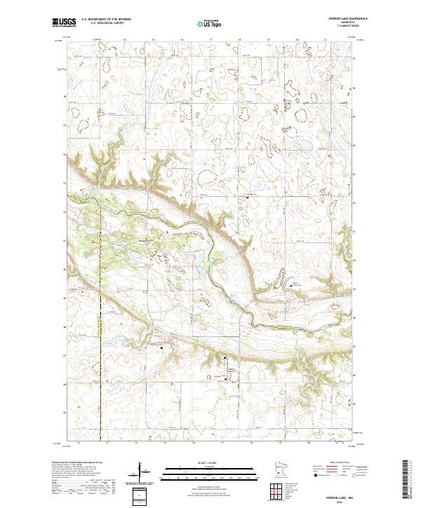 2022 Iverson Lake2022 Print · USGSThe rural border of Renville and Redwood counties comes alive in this contemporary survey of the river valley. Researchers can trace family history at the Swedes Forest Township Cem or locate local landmarks like Donner Airport and Nordeen Slough.
 - 2022 Map of Morton SE, 2022 Print
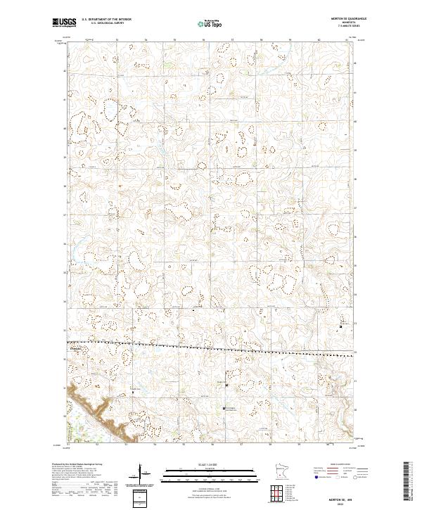 2022 Morton SE2022 Print · USGSThe Renville County prairie is captured here in its modern agricultural character, centered on the settlement of Franklin. Researchers can trace local heritage through several burial grounds including Finnish Cemetery and Fort Ridgely and Dale Cemetery.
 - 2022 Map of Renville, 2022 Print
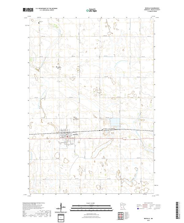 2022 Renville2022 Print · USGSThe agricultural heart of Renville County is captured here in the early twenty-first century, centered on the town of Renville. Genealogists and local historians can locate several rural burial sites, including Ebenezer Presbyterian Cem and Emden Cem.
 - 2022 Map of Lake Allie, 2022 Print
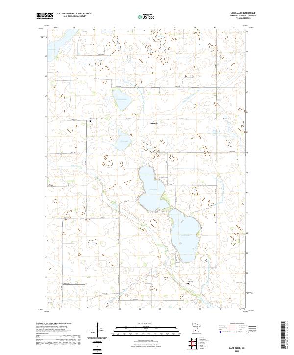 2022 Lake Allie2022 Print · USGSRenville County's agricultural heartland is documented here in the early 2020s, showing a landscape defined by prairie lakes and extensive drainage works. Genealogists can locate burial sites at Evergreen Cem and Preston Lake Cem near the shores of Lake Allie.
 - 2022 Map of Morton NE, 2022 Print
 2022 Morton NE2022 Print · USGSRenville County farmland is revealed in this contemporary survey, preserving the location of early rural cemeteries and drainage systems. Genealogists can locate family sites like Palmyra Cem and the Saint Paul Cem along the reach of Fort Ridgely Cr.
 - 2022 Map of Morton, 2022 Print
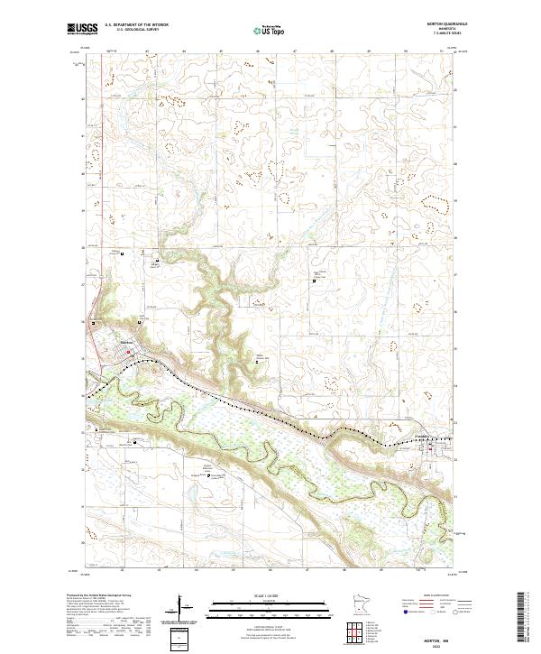 2022 Morton2022 Print · USGSThe Minnesota River valley and its high bluffs define this Renville County landscape in the early twenty-first century. Family historians can trace rare memorial markers like the Andrew Robertson Grave or visit the Patten Pioneer Cem and Morton Cem.
 - 2022 Map of Saint George, 2022 Print
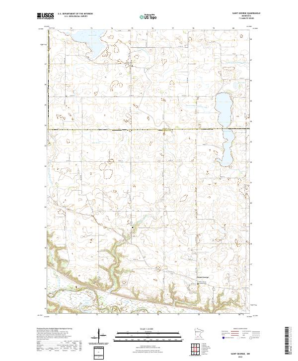 2022 Saint George2022 Print · USGSNicollet County in the twenty-first century remains a landscape of managed water and riverfront bluffs. Genealogists and historians can trace family ties at the Saint George Catholic Cem or follow the historic path of the Old Fort Rd near the Minnesota River.
 - 2022 Map of Lone Tree Lake, 2022 Print
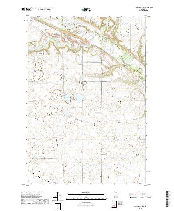 2022 Lone Tree Lake2022 Print · USGSYellow Medicine County at the start of the 2020s shows a landscape of glacial lakes and winding river valleys. Researchers can trace local burial grounds at Rock Valley Cem and Hillside Cem or follow the paths of Stagecoach Trl and Agency Trl.
 - 2022 Map of Gibbon, 2022 Print
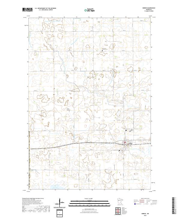 2022 Gibbon2022 Print · USGSGibbon and the surrounding Sibley County plains are shown in the early 2020s, revealing an intricate grid of agricultural drainage and rural townships. Trace local family history through several burial grounds like Augustana Cem or find the natural margins of Swan Lake and the Alkali Lakebed.
 - 2022 Map of Vicksburg, 2022 Print
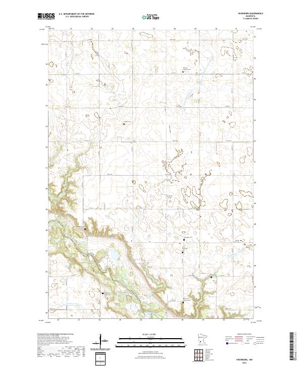 2022 Vicksburg2022 Print · USGSThe Minnesota River valley meets a strictly gridded agricultural landscape in this recent Renville County survey. Researchers can locate numerous pioneer and family burial sites, including Vicksburg Cem, Anson Fisk Family Cem, and Gold Mine Lake.
 - 2022 Map of Maynard, 2022 Print
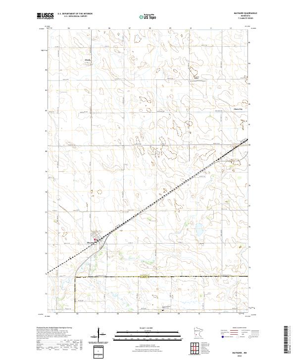 2022 Maynard2022 Print · USGSSettled farmland along the border of Chippewa and Renville counties defines this area in the early twenty-first century. Researchers can trace the drainage of Hawk Cr and locate historical community anchors like the Wang Lutheran Church Cem and Gluek.
 - 2022 Map of Clara City, 2022 Print
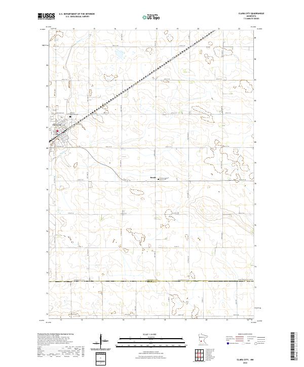 2022 Clara City2022 Print · USGSModern Minnesota prairie life is centered on Clara City and the agricultural lands of Chippewa Co in this recent survey. Local historians can trace family roots through landmarks like Bethany Reformed Cem and the quiet settlement of Bunde.
 - 2022 Map of Heatwole, 2022 Print
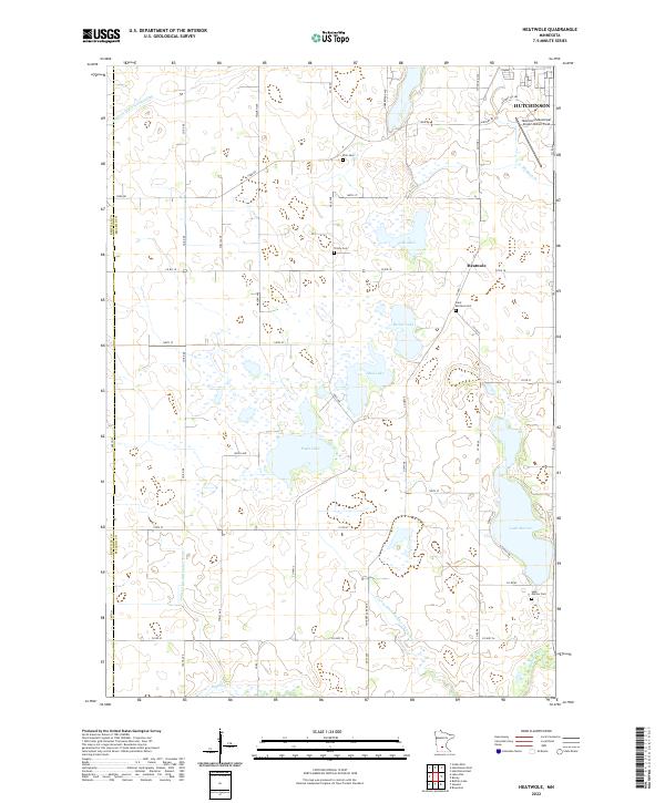 2022 Heatwole2022 Print · USGSMcLeod County at the start of the 2020s shows a landscape of precision drainage and prairie lakes. Researchers can trace rural lineages through sites like Saint Mortens Cem or locate old farm boundaries near Eagle Lake and Heatwole.
Showing maps 1-25 of 36
Top cities of Renville County
- Olivia historical maps
- Fairfax historical maps
- Bird Island historical maps
- Hector historical maps
- Buffalo Lake historical maps
- Sacred Heart historical maps
See more
Frequently asked questions
- What are the different types of historical maps available for Renville County?
- What is the oldest map of Renville County?
- Where can I purchase historical maps of Renville County for my home or office?
- Where can I download high-res historical maps of Renville County?
- Are there historical topographic maps available for Renville County?
- Is there historical aerial imagery available for Renville County?
- Where are historical maps of Renville County sourced from?