2000s (21st Century) Maps of Renville County, Minnesota
Explore 180 historic maps of Renville County from the 2000s (21st Century). These maps offer a rare glimpse into what life looked like during the 2000s — showing old roads, neighborhoods, homes, and landmarks that have changed or disappeared over time.
Whether you're researching your family's past, planning a metal detecting trip, or studying how Renville County's landscape evolved across the 2000s, these high-resolution maps are a powerful tool for exploring the history of this region.
- Focus on a specific era: All maps on this page are from the 2000s, giving you a focused view of this time period.
- See what’s changed: Compare century-old streets, trails, and buildings to today's modern landscape using overlays and satellite layers.
- Research with precision: Use these maps for genealogy, historical research, land use analysis, or educational projects.
- View, download, or print: Maps are fully viewable online in high resolution, and can be downloaded or printed for your own records.
Start exploring Renville County's history through authentic maps from the 2000s. This is your window into the past.
Renville County, MN maps
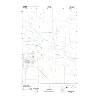
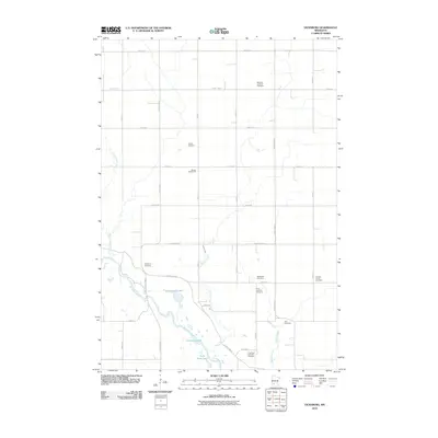
(180)- 2010 Map of Bechyn, 2010 Print
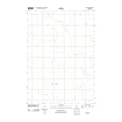 2010 Bechyn2010 Print · USGSCovers Renville County, including Bechyn, Emmet Township, and other nearby areas
 - 2010 Map of Fairfax, 2010 Print
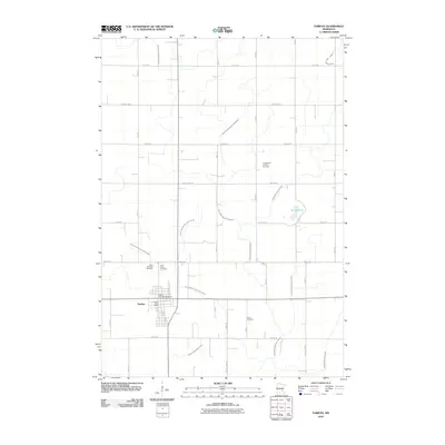 2010 Fairfax2010 Print · USGSCovers Renville County, including Fairfax, Countryview Estates, and other nearby areas
 - 2010 Map of Blomkest, 2010 Print
 2010 Blomkest2010 Print · USGSCovers Renville County, including Roseland, Roseland, and other nearby areas
 - 2010 Map of Stewart, 2010 Print
 2010 Stewart2010 Print · USGSCovers Renville County, including Stewart, Round Grove Township, and other nearby areas
 - 2010 Map of Redwood Falls, 2010 Print
 2010 Redwood Falls2010 Print · USGSCovers Renville County, including Redwood Falls, Beaver Falls, and other nearby areas
 - 2010 Map of Cedar Mills, 2010 Print
 2010 Cedar Mills2010 Print · USGSCovers Renville County, including Cedar Mills, Boon Lake Township, and other nearby areas
 - 2010 Map of Cosmos, 2010 Print
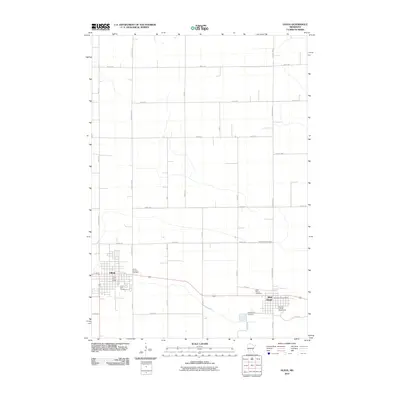
 2010 Cosmos2010 Print · USGSCovers Renville County, including Cosmos, Boon Lake Township, and other nearby areas
 - 2010 Map of Olivia SE, 2010 Print
 2010 Olivia SE2010 Print · USGSCovers Renville County, including Bird Island, United States, and other nearby areas
 - 2010 Map of Morton, 2010 Print
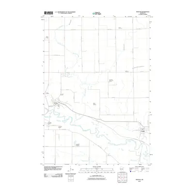 2010 Morton2010 Print · USGSCovers Renville County, including Franklin, Morton, and other nearby areas
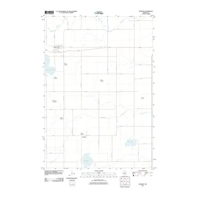
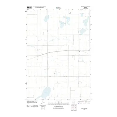
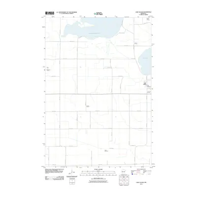
 - 2010 Map of Lake Allie, 2010 Print
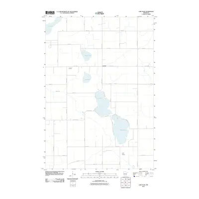 2010 Lake Allie2010 Print · USGSCovers Renville County, including Boon Lake Township, Preston Lake Township, and other nearby areas
 - 2010 Map of Prinsburg, 2010 Print
 2010 Prinsburg2010 Print · USGSCovers Renville County, including Prinsburg, Crooks Township, and other nearby areas
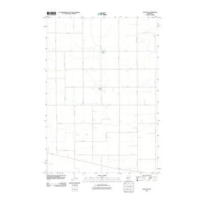
 - 2010 Map of Morton NE, 2010 Print
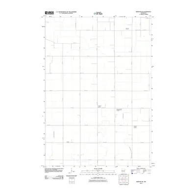 2010 Morton NE2010 Print · USGSCovers Renville County, including United States, Minnesota, and other nearby areas
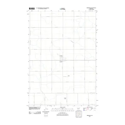
 - 2010 Map of Delhi, 2010 Print
 2010 Delhi2010 Print · USGSCovers Renville County, including Redwood Falls, Delhi, and other nearby areas
 - 2010 Map of Morton NW, 2010 Print
 2010 Morton NW2010 Print · USGSCovers Renville County, including United States, Minnesota, and other nearby areas
 - 2010 Map of Iverson Lake, 2010 Print
 2010 Iverson Lake2010 Print · USGSCovers Renville County, including Redwood County, Yellow Medicine County, and other nearby areas
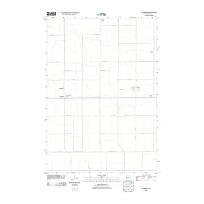
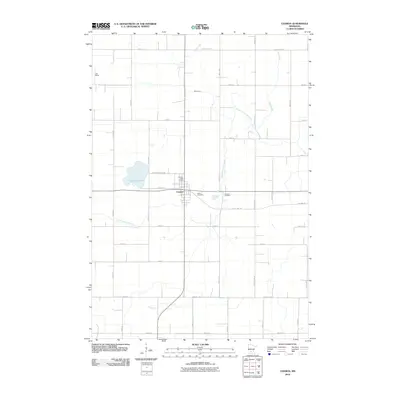
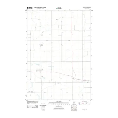
 - 2010 Map of Renville, 2010 Print
 2010 Renville2010 Print · USGSCovers Renville County, including Renville, Crooks Township, and other nearby areas
 - 2010 Map of Vicksburg, 2010 Print
 2010 Vicksburg2010 Print · USGSCovers Renville County, including Emmet Township, Redwood County, and other nearby areas
 - 2010 Map of Buffalo Lake, 2010 Print
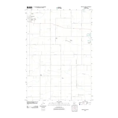 2010 Buffalo Lake2010 Print · USGSCovers Renville County, including Buffalo Lake, Preston Lake Township, and other nearby areas
 - 2010 Map of Lake Lillian, 2010 Print
 2010 Lake Lillian2010 Print · USGSCovers Renville County, including Lake Lillian, Kandiyohi County, and other nearby areas
 - 2010 Map of Danube, 2010 Print
 2010 Danube2010 Print · USGSCovers Renville County, including Olivia, Danube, and other nearby areas
 - 2010 Map of Churchill, 2010 Print
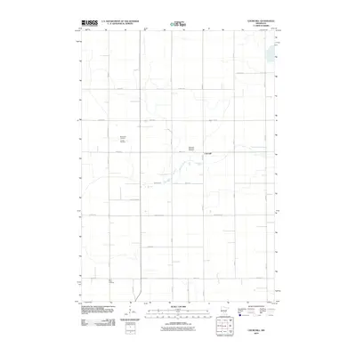 2010 Churchill2010 Print · USGSCovers Renville County, including Hector, Boon Lake Township, and other nearby areas
 - 2010 Map of Sleepy Eye NW, 2010 Print
 2010 Sleepy Eye NW2010 Print · USGSCovers Renville County, including Nicollet County, Brown County, and other nearby areas
 - 2010 Map of Olivia, 2010 Print
 2010 Olivia2010 Print · USGSCovers Renville County, including Olivia, Bird Island, and other nearby areas
 - 2010 Map of Clara City, 2010 Print
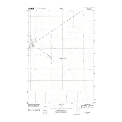 2010 Clara City2010 Print · USGSCovers Renville County, including Clara City, Bunde, and other nearby areas
 - 2010 Map of Maynard, 2010 Print
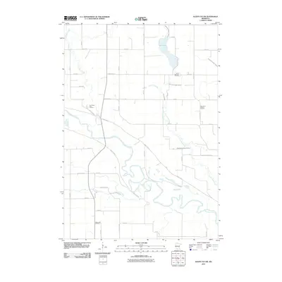
 2010 Maynard2010 Print · USGSCovers Renville County, including Clara City, Maynard, and other nearby areas
Showing maps 1-25 of 180
Top cities of Renville County
- Olivia historical maps
- Fairfax historical maps
- Bird Island historical maps
- Hector historical maps
- Buffalo Lake historical maps
- Sacred Heart historical maps
See more
Frequently asked questions
- What are the different types of historical maps available for Renville County?
- What is the oldest map of Renville County?
- Where can I purchase historical maps of Renville County for my home or office?
- Where can I download high-res historical maps of Renville County?
- Are there historical topographic maps available for Renville County?
- Is there historical aerial imagery available for Renville County?
- Where are historical maps of Renville County sourced from?