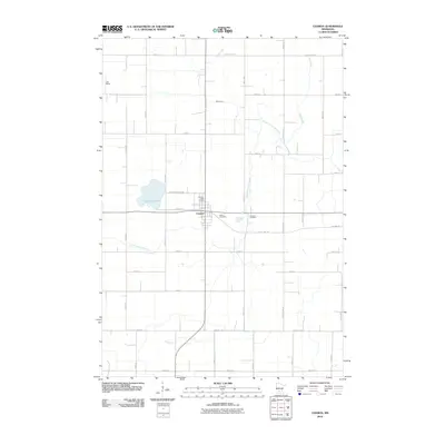
2010 Map of Cosmos
USGS Topo · Published 2010About this map
Cosmos serves as the central hub of this agricultural landscape in Meeker County, established at the junction of the north-south highway and the historic Luce Line Trl. The town's civic footprint is anchored by the Cosmos Post Office, with two burial sites, Peace Cemetery and Cosmos Cemetery, located on the eastern edge. This 2010 survey illustrates the region's flat topography, defined by a grid of rural roads such as County Hwy-22 and 890th Ave.
Find a feature on this map
23 named features on this map. Tap any name to fly to it.
Don’t see what you’re looking for? This feature index may not catch every label — zoom into the map to look around manually.
Map Details
Editions of this 2010 Cosmos Map
This is the sole edition of this map. No revisions or reprints were ever made.
Other maps of this area

1953 · New Ulm
USGS Topo · 1:250,000

1953 · Saint Cloud
USGS Topo · 1:250,000

1956 · Atwater
USGS Topo · 1:62,500

1957 · Saint Cloud
USGS Topo · 1:250,000

1957 · New Ulm
USGS Topo · 1:250,000

1957 · Olivia
USGS Topo · 1:62,500

1958 · New Ulm
USGS Topo · 1:250,000

1958 · Saint Cloud
USGS Topo · 1:250,000

1967 · New Ulm
USGS Topo · 1:250,000

1967 · Churchill
USGS Topo · 1:24,000