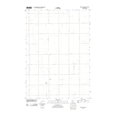
2010 Map of Morton NW
USGS Topo · Published 2010About this map
The agricultural grid of southern Renville County dominates this landscape, where the rectilinear precision of roads like 360th St and 760th Ave contrasts with the wandering path of Birch Coulee Creek. This drainage system is central to the area's geography, supplemented by man-made watercourses such as Ditch Number Eightyfive-a. A legacy of rural education is preserved in the location of School Number 28, standing as a marker of the district's past social organization. Transportation and logistics in this farming region are supported by both the thoroughfares of County Hwy-4 and more specialized infrastructure like the Lotherts Landing Strip, illustrating the modern methods used to manage these expansive Minnesota fields. To the west, the East Fork Beaver Creek cuts across the corner of the quadrangle, further defining the local watershed.
Find a feature on this map
19 named features on this map. Tap any name to fly to it.
Don’t see what you’re looking for? This feature index may not catch every label — zoom into the map to look around manually.
Map Details
Editions of this 2010 Morton NW Map
This is the sole edition of this map. No revisions or reprints were ever made.
Other maps of this area

1952 · Morton
USGS Topo · 1:62,500

1952 · Redwood Falls
USGS Topo · 1:62,500

1953 · New Ulm
USGS Topo · 1:250,000

1957 · New Ulm
USGS Topo · 1:250,000

1957 · Olivia
USGS Topo · 1:62,500

1958 · New Ulm
USGS Topo · 1:250,000

1965 · Danube
USGS Topo · 1:24,000

1967 · New Ulm
USGS Topo · 1:250,000
1982 · Olivia SE
USGS Topo · 1:24,000
1982 · Redwood Falls
USGS Topo · 1:24,000