Old Maps of Roseau, Minnesota for Hiking & Exploration
Hike through history with 19 historic maps of Roseau. Explore old trails, ghost towns, and forgotten backroads — perfect for outdoor adventurers and local explorers.
- Rediscover forgotten places: Map out old mining camps, roads, and footpaths that no longer exist on modern maps.
- Layer with modern tools: Combine with LiDAR or satellite views to plan hikes through historical terrain.
- Made for exploration: Popular among hikers, overlanders, and local history lovers.
Use these maps to find adventure and explore the hidden past of Roseau.
Roseau, MN maps
(19)- 1918 Map of Goos
 1918 Goos1918 Print · USGSNorthern Minnesota near the Canadian border is shown during a period of massive land reclamation and rail expansion. Genealogists and historians can trace the early drainage network alongside the Great Northern tracks and locate sites like Salol, Mandus, and Boisvert.
 - 1918 Map of Roseau
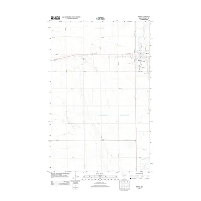
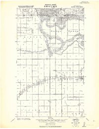 1918 Roseau1918 Print · USGSNorthern Minnesota’s borderlands come into focus at the end of the Great War, showing a landscape defined by water management and the rail. Trace early schoolhouse locations and rail crossings like Farm Xing near the Great Northern R. R. and Roseau Lake.2 unique versions available
 - 1943 Map of Goos
 1943 Goos1943 Print · USGSNorthwestern Minnesota territory along the international border is mapped here during the Second World War based on earlier military surveys. Researchers can trace the Great Northern rail line and locate early rural landmarks like Salol, Mandus, and various School sites.
 - 1954 Map of Roseau, 1969 Print
 1954 Roseau1969 Print · USGSNorthern Minnesota's borderlands come alive in the 1950s, showing a landscape defined by timber, water, and rail. Trace family roots through old schools and cemeteries near Roseau, Warroad, and the expansive Red Lake Indian Reservation.2 unique versions available
 - 1957 Map of Roseau
 1957 Roseau1957 Print · USGSThe international border and tribal lands define Northern Minnesota in the mid-fifties, from the shores of Lake of the Woods to the Red Lake Indian Reservation. Researchers can trace the path of the Great Northern railroad and locate isolated outposts like the U S Custom House and Ponemah.
 - 1958 Map of Roseau
 1958 Roseau1958 Print · USGSNorthern Minnesota's borderlands and vast lake country are captured here in the late fifties. Researchers can trace the Canadian National rail line through Warroad or find family history in frontier settlements like Baudette, Waskish, and Shotley.
 - 1966 Map of Malung, 1968 Print
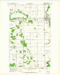
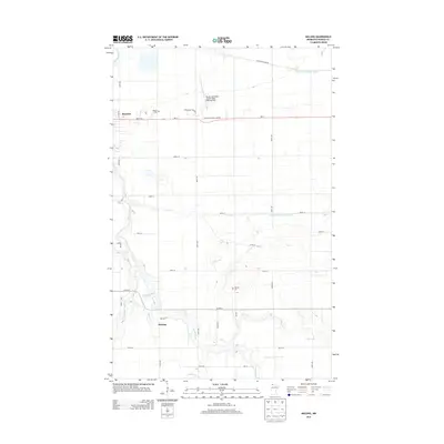
 1966 Malung1968 Print · USGSRoseau County in the mid-1960s reveals a landscape defined by the winding Roseau River and the steady presence of the Great Northern railroad. Genealogists can locate family sites near Spruce Cem, Malung Hall, and the Roseau Municipal Airport.
 - 1966 Map of Roseau, 1968 Print
 1966 Roseau1968 Print · USGSRoseau flourished in the mid-sixties as a vital rail and river hub for northern Minnesota agriculture. Genealogists can locate family sites at Sacred Heart Cem and Hope Cem, while tracing the influence of the Great Northern railroad and the Roseau River.2 unique versions available
 - 1976 Map of Roseau, 1994 Print
 1976 Roseau1994 Print · USGSThe Minnesota-Manitoba borderlands come into focus in the mid-seventies, showing the intersection of lake-shore life and the prairie's edge. Genealogists and historians can trace rail sidings and small settlements from Warroad to Roseau, or locate family landmarks near the Red Lake Indian Reservation and Arnesen.
 - 2010 Map of Roseau, 2010 Print
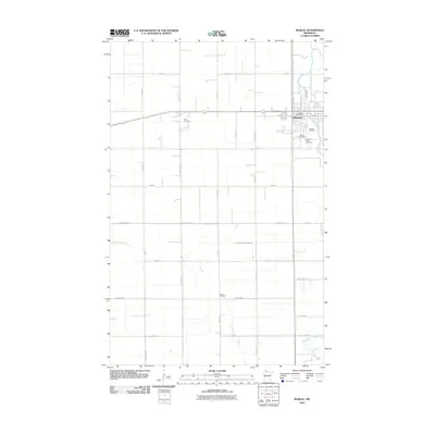 2010 Roseau2010 Print · USGSCovers Roseau, including Roseau County, United States, and other nearby areas
 - 2010 Map of Malung, 2010 Print
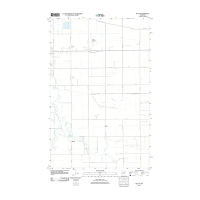 2010 Malung2010 Print · USGSCovers Roseau, including Malung, Roseau County, and other nearby areas
 - 2013 Map of Roseau, 2013 Print
 2013 Roseau2013 Print · USGSCovers Roseau, including Roseau County, United States, and other nearby areas
 - 2013 Map of Malung, 2013 Print
 2013 Malung2013 Print · USGSCovers Roseau, including Malung, Roseau County, and other nearby areas
 - 2016 Map of Malung, 2016 Print
 2016 Malung2016 Print · USGSCovers Roseau, including Malung, Roseau County, and other nearby areas
 - 2016 Map of Roseau, 2016 Print
 2016 Roseau2016 Print · USGSCovers Roseau, including Roseau County, United States, and other nearby areas
 - 2019 Map of Malung, 2019 Print
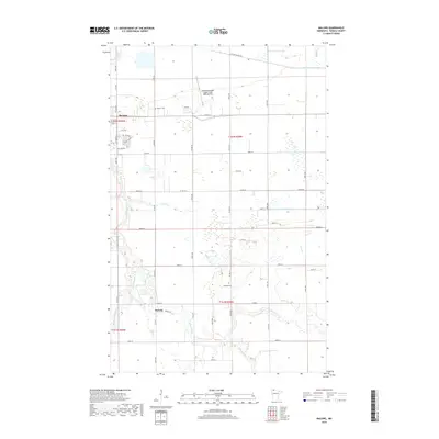 2019 Malung2019 Print · USGSCovers Roseau, including Malung, Roseau County, and other nearby areas
 - 2019 Map of Roseau, 2019 Print
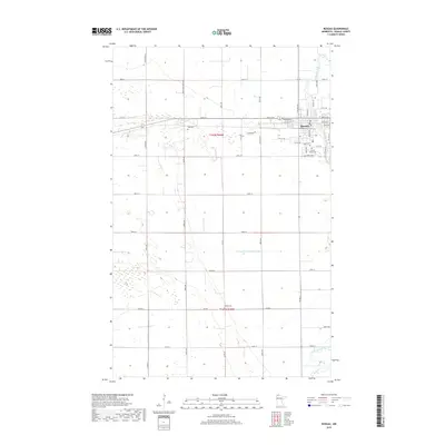 2019 Roseau2019 Print · USGSCovers Roseau, including Roseau County, United States, and other nearby areas
 - 2022 Map of Roseau, 2022 Print
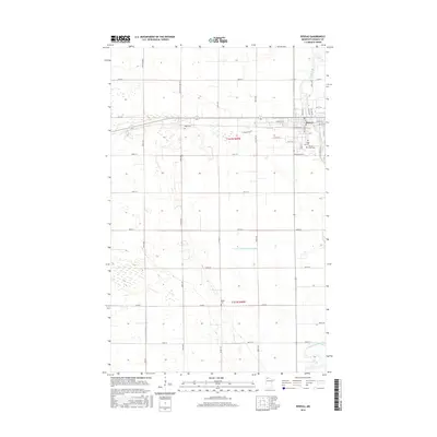
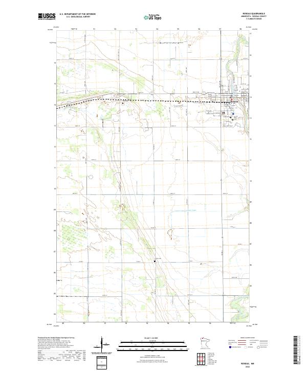 2022 Roseau2022 Print · USGSThe northern plains around Roseau come into focus in this recent survey of the county seat. Genealogists and local researchers can trace the locations of Roseau County Courthouse, Sacred Heart, and several rural burial sites like Rose Cem and Bethel Cem.
 - 2022 Map of Malung, 2022 Print
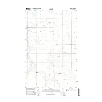
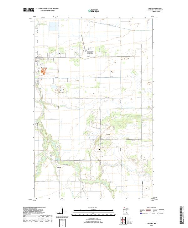 2022 Malung2022 Print · USGSNorthwestern Minnesota’s agricultural landscape is seen here at the start of the 2020s, centered on the city of Roseau and the community of Malung. Researchers can locate Spruce Cem, Malung Cem, and follow the winding Roseau River.
End of results
Showing maps 1-19 of 19
Top cities near Roseau
Frequently asked questions
- What are the different types of historical maps available for Roseau?
- What is the oldest map of Roseau?
- Where can I purchase historical maps of Roseau for my home or office?
- Where can I download high-res historical maps of Roseau?
- Are there historical topographic maps available for Roseau?
- Is there historical aerial imagery available for Roseau?
- Where are historical maps of Roseau sourced from?