Old Maps of Colby, Hoyt Lakes for Academic Research
Study the evolution of Colby with 13 high-resolution historic maps. Whether you're teaching, researching, or modeling changes in land use, these maps provide essential visual documentation of urban, environmental, and geographic change.
- Analyze long-term change: Track patterns in development, transportation, and natural features.
- Ideal for environmental or urban studies: Support academic projects with primary historical map data.
- Use in the classroom or lab: Educators and researchers rely on these maps to bring historical context to life.
These maps are a powerful tool for teaching, research, and visualizing how Colby has changed over the decades.
Colby, Hoyt Lakes maps
(13)- 1949 Map of Aurora, 1956 Print
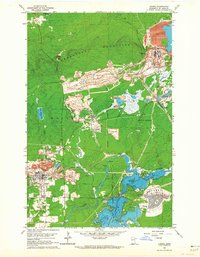
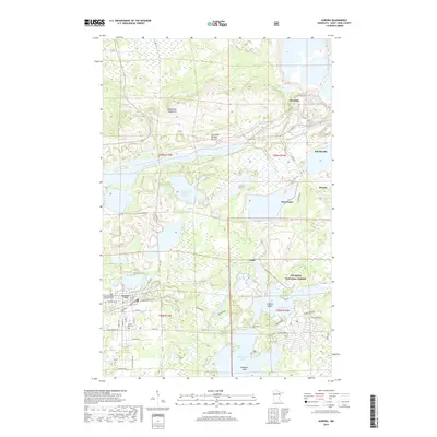
 1949 Aurora1956 Print · USGSThe Iron Range of northern Minnesota comes alive in this post-war survey of the mining landscape around Aurora. Researchers can trace the industrial footprint of the St James Pit, the community of Mesaba, and family landmarks near Colby Lake.
 - 1950 Map of Aurora
 1950 Aurora1950 Print · USGSThe Mesaba Iron Range was at a peak of industrial activity in the mid-twentieth century when this survey was conducted. Historians can trace the massive excavations of the St James Pit and Miller Pit alongside the rail-dependent settlements of Aurora and Old Mesaba.2 unique versions available
 - 1954 Map of Hibbing, 1966 Print
 1954 Hibbing1966 Print · USGSNorthern Minnesota's Iron Range thrives during the mid-1960s, showing the industrial landscape between the Mesabi Range and the Mississippi River. Genealogists and historians can trace the rail lines of the Great Northern RR through mining hubs like Hibbing and Virginia.3 unique versions available
 - 1957 Map of Hibbing
 1957 Hibbing1957 Print · USGSNorthern Minnesota's Iron Range is shown at its industrial peak in the mid-fifties, dominated by the massive iron pits and rail corridors of the Mesabi Range. Researchers can trace the rail networks of the Duluth Missabe and Iron Range and locate mining hubs like Hibbing, Virginia, and Bovey.
 - 1958 Map of Hibbing
 1958 Hibbing1958 Print · USGSThe Mesabi Iron Range reached its mid-century height during this era, defining the landscape between Grand Rapids and Virginia. Genealogists and historians can trace the mining-town networks of Hibbing and Chisholm or locate numerous iron mines and rail spurs.
 - 1962 Map of Aurora, 1964 Print
 1962 Aurora1964 Print · USGSIron Range industry reaches its mid-century peak in this survey of the northern Mesabi mining district. Researchers can trace the massive Erie Mine No 1 Pit, the rail lines of the Duluth Missabe and Iron Range, and landmarks like Forest Hill Cemetery.4 unique versions available
 - 1964 Map of Hibbing
 1964 Hibbing1964 Print · USGSNorthern Minnesota’s iron-rich corridor is captured here during a peak era of mid-century industrial activity. Researchers can trace the rail-to-mine connections through Mesabi Range towns like Hibbing and Virginia or locate lakefront settlements near Pokegama Lake.
 - 1994 Map of Vermillion Lake
 1994 Vermillion Lake1994 Print · USGSThe Mesabi Iron Range meets the North Woods in the 1990s, showcasing the heavy industrial footprint of the Duluth Missabe & Iron Range RR. Trace the sprawling works of the Mines near Virginia or the intricate island shorelines of Vermilion Lake.
 - 2011 Map of Aurora, 2011 Print
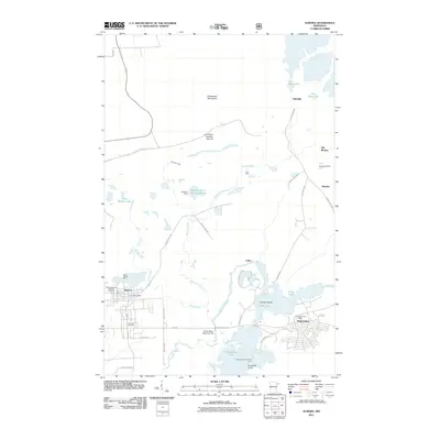 2011 Aurora2011 Print · USGSCovers Colby, including Hoyt Lakes, Aurora, and other nearby areas
 - 2013 Map of Aurora, 2013 Print
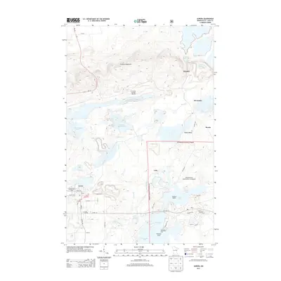 2013 Aurora2013 Print · USGSCovers Colby, including Hoyt Lakes, Aurora, and other nearby areas
 - 2016 Map of Aurora, 2016 Print
 2016 Aurora2016 Print · USGSCovers Colby, including Hoyt Lakes, Aurora, and other nearby areas
 - 2019 Map of Aurora, 2019 Print
 2019 Aurora2019 Print · USGSCovers Colby, including Hoyt Lakes, Aurora, and other nearby areas
 - 2022 Map of Aurora, 2022 Print
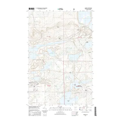
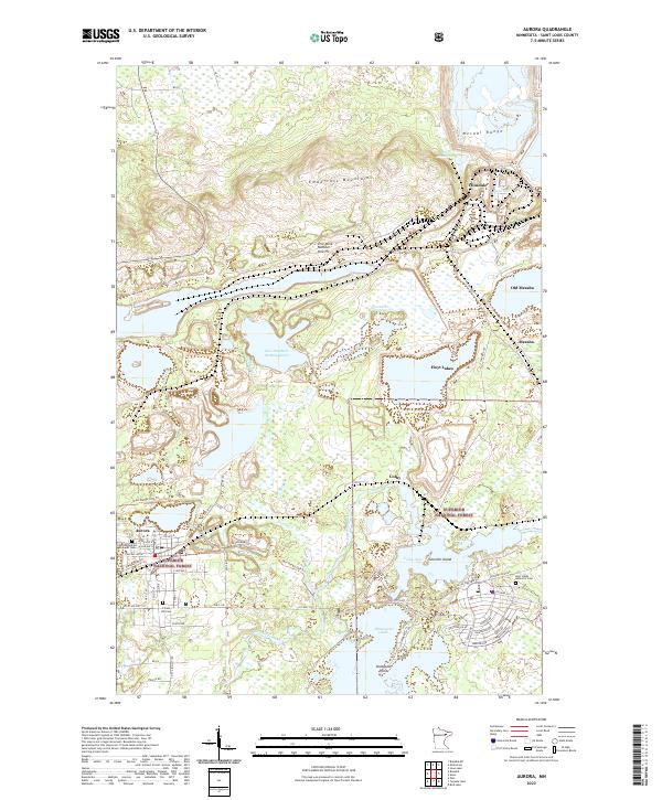 2022 Aurora2022 Print · USGSIron Range mining and settlement come into focus in this modern era, documenting the industrial landscape near the Mesabi Range. Genealogists can trace family sites at the Czechoslovakian National Cem or explore the geography of Old Mesaba and the Erie Mine Number One Pit.
End of results
Showing maps 1-13 of 13
Top cities near Colby
- Hoyt Lakes historical maps
- Aurora historical maps
- Babbitt historical maps
- Biwabik historical maps
- Embarrass historical maps
- McKinley historical maps
Frequently asked questions
- What are the different types of historical maps available for Colby?
- What is the oldest map of Colby?
- Where can I purchase historical maps of Colby for my home or office?
- Where can I download high-res historical maps of Colby?
- Are there historical topographic maps available for Colby?
- Is there historical aerial imagery available for Colby?
- Where are historical maps of Colby sourced from?