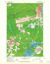
1962 Map of Aurora
USGS Topo · Published 1964About this map
The industrial infrastructure of the Mesabi Iron Range dominates this landscape, where the Erie Mine No 1 Pit and the massive Taconite Processing Plant define the local economy during the early 1960s. Mining operations are woven into the natural terrain of the Embarrass Mountains, with extensive mine dumps and conveyors surrounding the residential centers of Aurora and the newer development of Hoyt Lakes.
Find a feature on this map
46 named features on this map. Tap any name to fly to it.
Don’t see what you’re looking for? This feature index may not catch every label — zoom into the map to look around manually.
Map Details
Editions of this 1962 Aurora Map
4 editions found
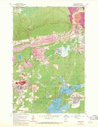
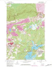
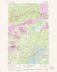
Other maps of this area

1949 · Aurora
USGS Topo · 1:24,000

1949 · Isaac Lake
USGS Topo · 1:24,000

1949 · Allen
USGS Topo · 1:24,000

1949 · Embarrass
USGS Topo · 1:24,000

1950 · Isaac Lake
USGS Topo · 1:24,000

1950 · Embarrass
USGS Topo · 1:24,000

1950 · Allen
USGS Topo · 1:24,000

1950 · Aurora
USGS Topo · 1:24,000

1950 · Biwabik
USGS Topo · 1:24,000

1950 · Biwabik NE
USGS Topo · 1:24,000