Loading...
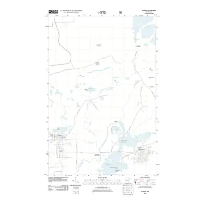
Loading map...1962 Map of Aurora
USGS Topo · Published 1985About this map
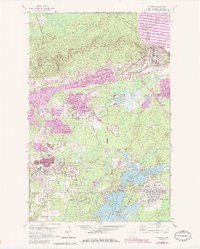
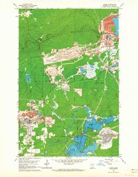
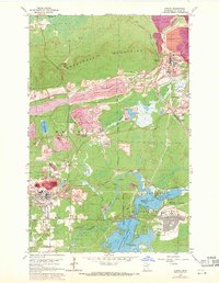
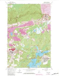
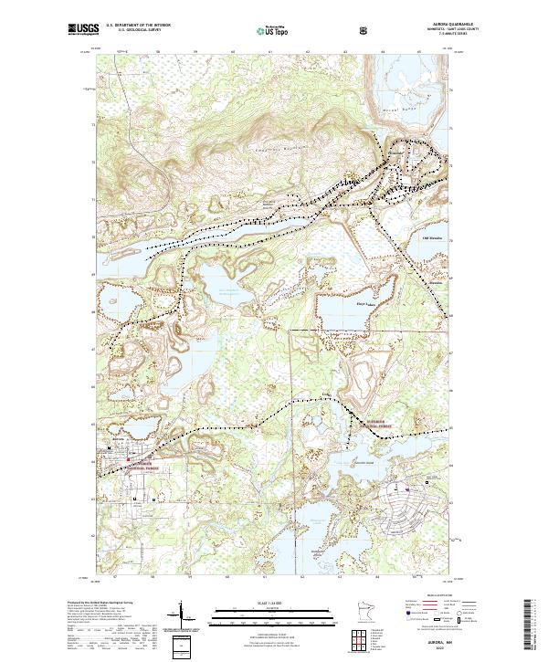
Industrial activity on the Mesabi Iron Range dominates this landscape, where the Taconite Processing Plant and its sprawling network of conveyors and mine dumps overlook the growing communities of Aurora and Hoyt Lakes. The infrastructure of the Duluth Missabe and Iron Range railroad snakes through the terrain, connecting deep pits and processing facilities to wider markets. Residential growth is evident in the planned streets of Hoyt Lakes near Colby Lake, while local heritage is preserved at Forest Hill Cemetery and the Keefe Sch.
Find a feature on this map
31 named features on this map. Tap any name to fly to it.
Don’t see what you’re looking for? This feature index may not catch every label — zoom into the map to look around manually.
Map Details
Date Portrayed1962
Date Published1985
PublisherU.S. Geological Survey
Map TypeTopographic
Scale1:24,000
Physical Dimensions21.9 x 27.23 inches
Editions of this 1962 Aurora Map
4 editions found
Historical Maps of Hoyt Lakes Through Time
8 maps found


Featured Locations
Source Details
SourceU.S. Geological Survey
CopyrightPublic Domain