2020s Maps of Wilkin County, Minnesota
Explore 30 historic maps of Wilkin County from the 2020s. These maps offer a rare glimpse into what life looked like during the 2020s — showing old roads, neighborhoods, homes, and landmarks that have changed or disappeared over time.
Whether you're researching your family's past, planning a metal detecting trip, or studying how Wilkin County's landscape evolved across the 2020s, these high-resolution maps are a powerful tool for exploring the history of this region.
- Focus on a specific era: All maps on this page are from the 2020s, giving you a focused view of this time period.
- See what’s changed: Compare century-old streets, trails, and buildings to today's modern landscape using overlays and satellite layers.
- Research with precision: Use these maps for genealogy, historical research, land use analysis, or educational projects.
- View, download, or print: Maps are fully viewable online in high resolution, and can be downloaded or printed for your own records.
Start exploring Wilkin County's history through authentic maps from the 2020s. This is your window into the past.
Wilkin County, MN maps
(30)- 2020 Map of Wahpeton, 2020 Print
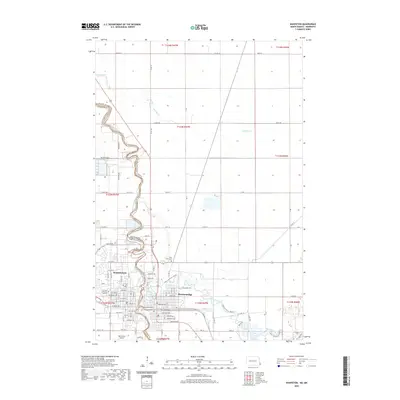 2020 Wahpeton2020 Print · USGSCovers Wilkin County, including Wahpeton, Breckenridge, and other nearby areas
 - 2020 Map of Fairmount, 2020 Print
 2020 Fairmount2020 Print · USGSCovers Wilkin County, including Fairmount, Summit Township, and other nearby areas
 - 2020 Map of Dwight, 2020 Print
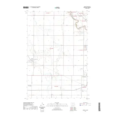 2020 Dwight2020 Print · USGSCovers Wilkin County, including Wahpeton, Dwight, and other nearby areas
 - 2020 Map of Abercrombie, 2020 Print
 2020 Abercrombie2020 Print · USGSCovers Wilkin County, including Abercrombie, Kent, and other nearby areas
 - 2020 Map of Christine, 2020 Print
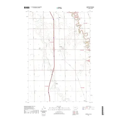 2020 Christine2020 Print · USGSCovers Wilkin County, including Christine, Eagle Township, and other nearby areas
 - 2020 Map of Hickson, 2020 Print
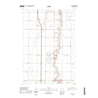 2020 Hickson2020 Print · USGSCovers Wilkin County, including Fargo, Horace, and other nearby areas
 - 2022 Map of Barnesville SW, 2022 Print
 2022 Barnesville SW2022 Print · USGSWilkin County's agricultural landscape is documented here in the early twenty-first century, showing the complex drainage network of the Red River Valley. Researchers can trace the path of S Br Buffalo River alongside engineered features like State Ditch Number Fourteen.
 - 2022 Map of Wolverton, 2022 Print
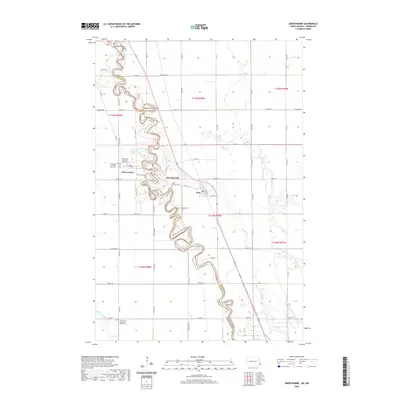
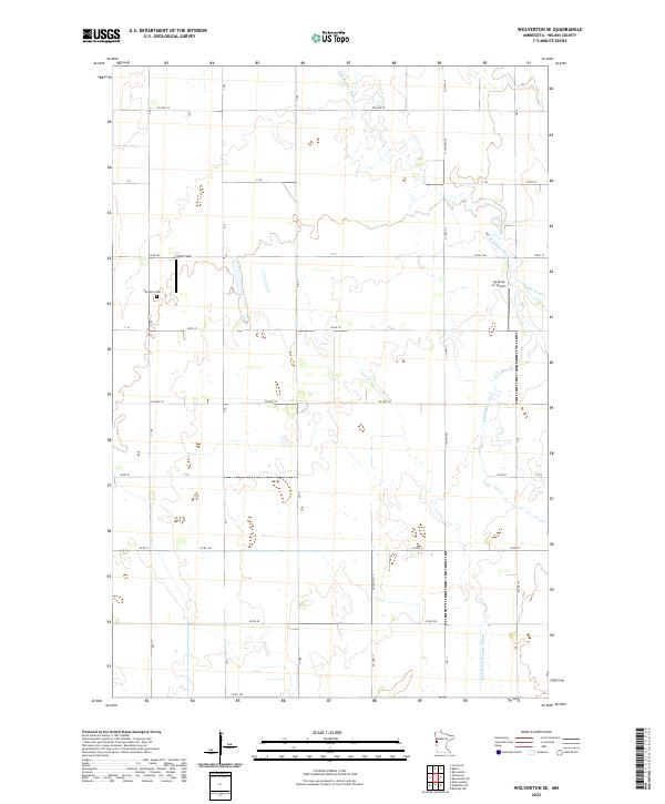
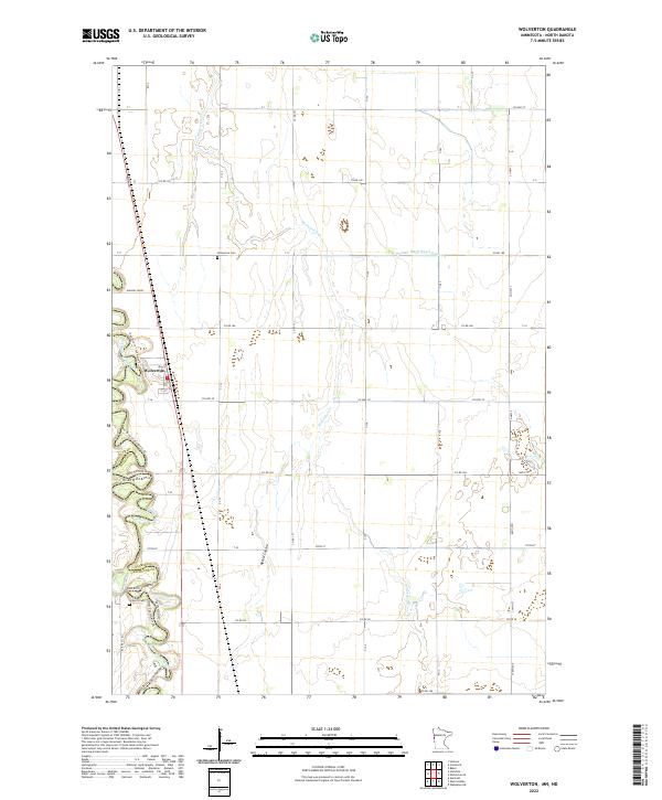 2022 Wolverton2022 Print · USGSThe Red River valley at the Minnesota-North Dakota border is documented here in the early twenty-first century. Genealogists and local historians can trace family ties at Wolverton Cem and Schmitt Cem or follow the winding Red River of the North.
 - 2022 Map of Everdell, 2022 Print
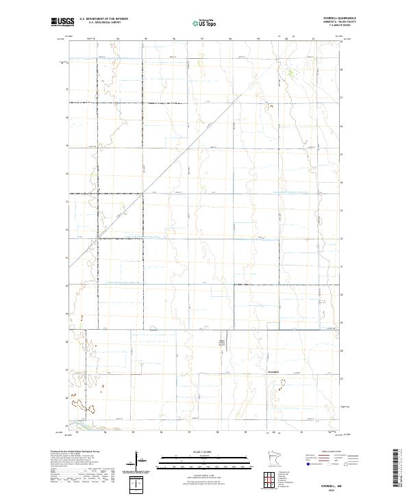 2022 Everdell2022 Print · USGSWilkin County agriculture and water management are the focus of this contemporary look at western Minnesota. Genealogists and local historians can trace the footprint of Everdell and the surrounding farm sections near the Otter Tail River and Yaggie Private Airport.
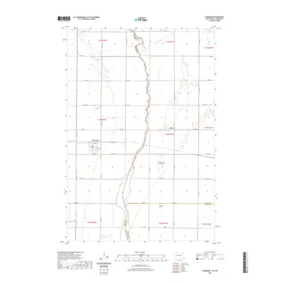
 - 2022 Map of Tintah, 2022 Print
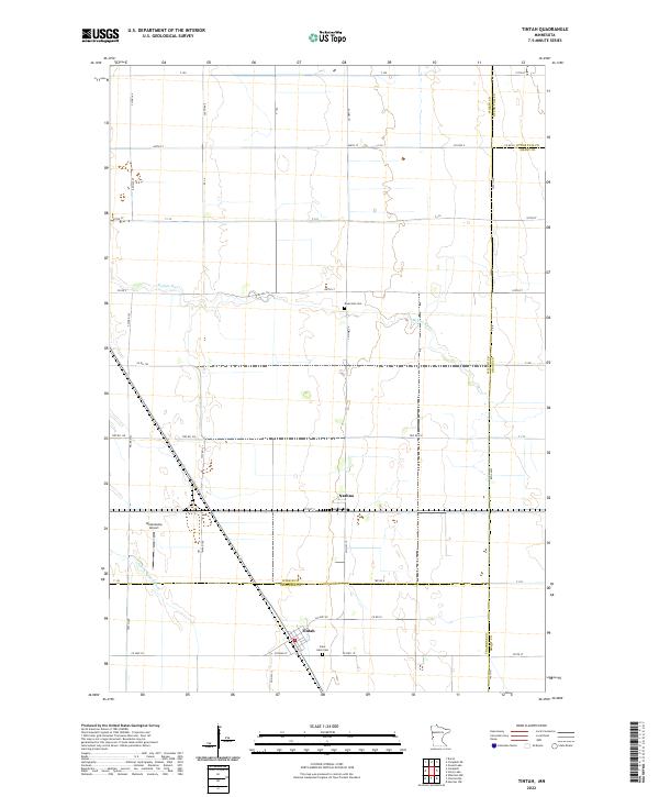 2022 Tintah2022 Print · USGSThe prairie landscape of Traverse and Wilkin counties comes to life in this survey of the northern Red River Valley. Genealogists and local historians can locate Nashua and Tintah, or trace the winding Rabbit River past Saint Galls Cem and Riverside Cem.
 - 2022 Map of Comstock, 2022 Print
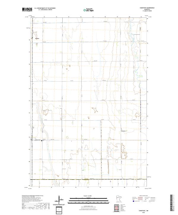 2022 Comstock2022 Print · USGSClay County farmland near the Wilkin County line is captured here in its modern agricultural context. Genealogists and local historians can locate Comstock and its Comstock Lutheran Cem, or trace the winding paths of Wolverton Cr and the South Branch Buffalo River.
 - 2022 Map of Barnesville, 2022 Print
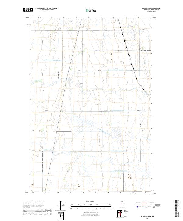
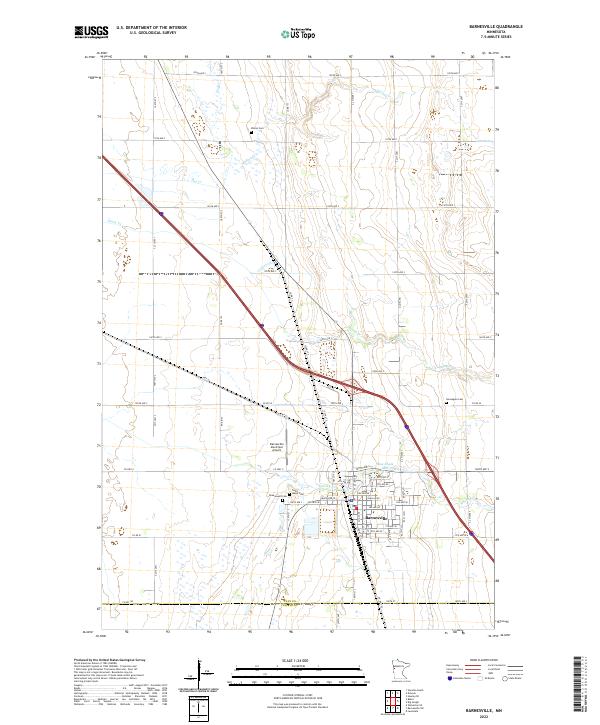 2022 Barnesville2022 Print · USGSModern Barnesville and the surrounding Clay County prairies are captured here in the early twenty-first century. Genealogists and local historians can locate several family burial sites, including Elkton Cem, Norwegian Cem, and Rosemound Cem.
 - 2022 Map of Wolverton SE, 2022 Print
 2022 Wolverton SE2022 Print · USGSWilkin County's agricultural heartland is documented here in the early twenty-first century, showing the precise grid of township roads and water management systems. Researchers can locate the Deerhorn Cem or trace the drainage of the S Br Buffalo River and State Ditch Number Fifteen.
 - 2022 Map of Rothsay NW, 2022 Print
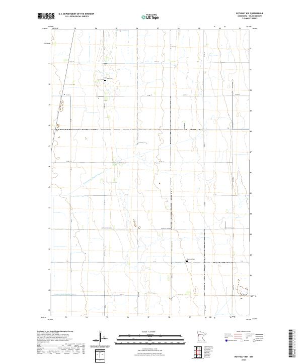 2022 Rothsay NW2022 Print · USGSWilkin County's prairie farmland is captured here in the early twenty-first century, showcasing a landscape defined by industrial agriculture and rural grit. Genealogists and local historians can locate specific burial sites at Manston Cem or Meadows Cem and trace the drainage networks of County Ditch Number Six-a.
 - 2022 Map of Campbell, 2022 Print
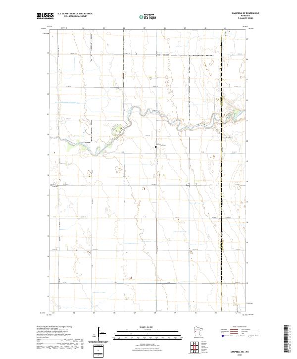
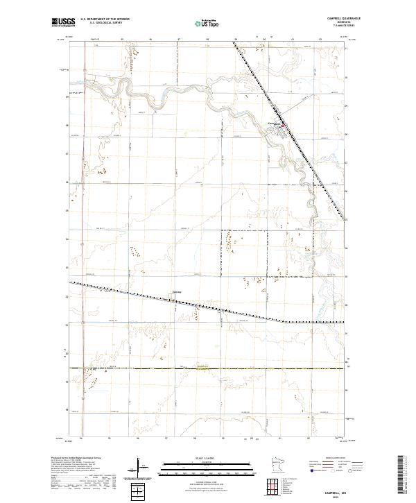 2022 Campbell2022 Print · USGSWilkin County agriculture and the river valley's drainage patterns are detailed in this survey from the early twenty-twenties. Genealogists can trace property boundaries near Campbell and Tenney, or follow the winding Rabbit River through the township grid.
 - 2022 Map of Doran, 2022 Print
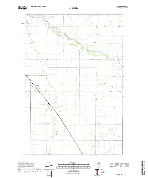 2022 Doran2022 Print · USGSWilkin County's prairie landscape and the settlement of Doran are shown here as they appeared in the early twenty-first century. Genealogists and local historians can trace family roots at Stiklestad Cem or follow the path of the Otter Tail River.
 - 2022 Map of Lawndale, 2022 Print
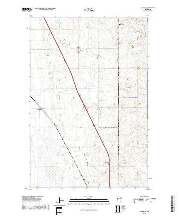 2022 Lawndale2022 Print · USGSThe border of Wilkin and Otter Tail counties comes alive in this 2022 survey of the Minnesota prairie. Genealogists and local researchers can trace family landmarks at Little Bethany Cem or locate the rural crossroads of Lawndale near Deerhorn Cr.
 - 2022 Map of South of Wahpeton, 2022 Print
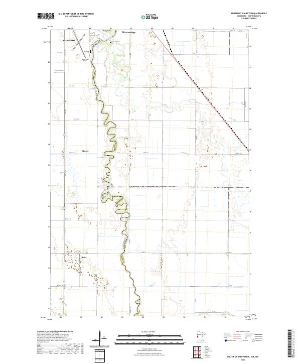 2022 South of Wahpeton2022 Print · USGSThe borderlands of the Red River Valley are documented in this 2022 survey, where the winding Bois de Sioux River divides the landscape. Researchers can trace the layout of Wahpeton and Breckenridge or locate rural sites like Riverside Cem and the settlement of Tyler.
 - 2022 Map of Big Slough, 2022 Print
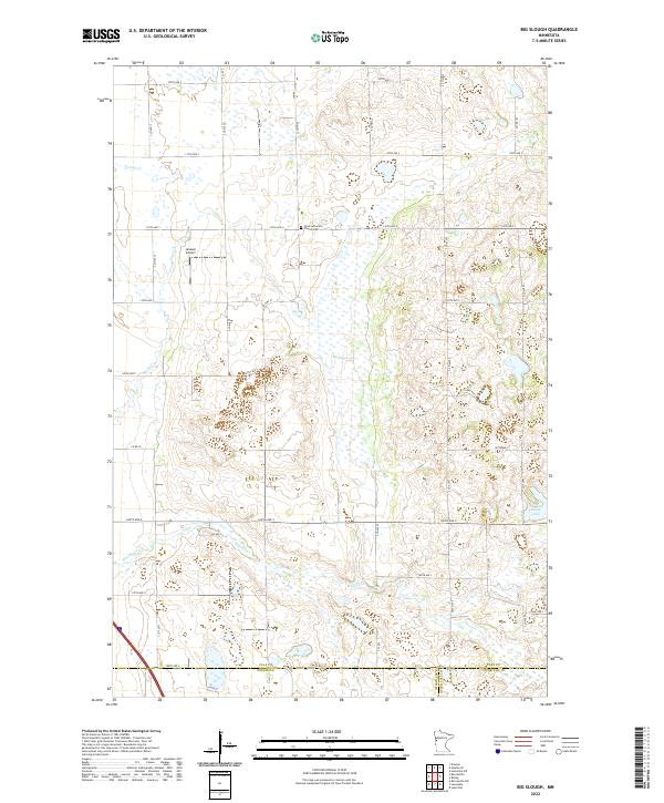 2022 Big Slough2022 Print · USGSThe rural borderlands where Clay and Wilkin counties meet are captured here in the early twenty-first century. Researchers can locate family landmarks like the Gran Lutheran Church Cem and trace the winding paths of Whisky Cr and Stony Cr.
 - 2022 Map of Campbell NE, 2022 Print
 2022 Campbell NE2022 Print · USGSThe Wilkin and Otter Tail county line comes alive in this 2020s survey of the Minnesota prairie landscape. Local historians can trace the course of the Otter Tail River and locate the Vukku Church Cem or Old Vikku Lutheran Cem.
 - 2022 Map of Foxhome, 2022 Print
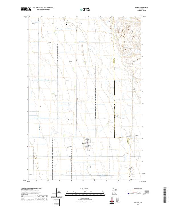 2022 Foxhome2022 Print · USGSThe rural landscape around Foxhome is captured in the early twenty-first century, showcasing a region defined by its agricultural grid and water management. Researchers can locate family landmarks like Foxhome Cem and Burau Cem or trace the path of County Ditch Number Thirty One.
 - 2022 Map of Rothsay, 2022 Print
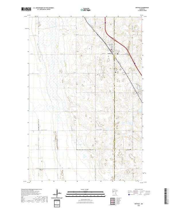 2022 Rothsay2022 Print · USGSThe Wilkin and Otter Tail county line runs right through this agricultural prairie landscape during the early 2020s. Genealogists and local historians can trace family locations near the town of Rothsay or find rural burial sites like German Cem and Rothsay Baptist Cem.
 - 2022 Map of Wahpeton NE, 2022 Print
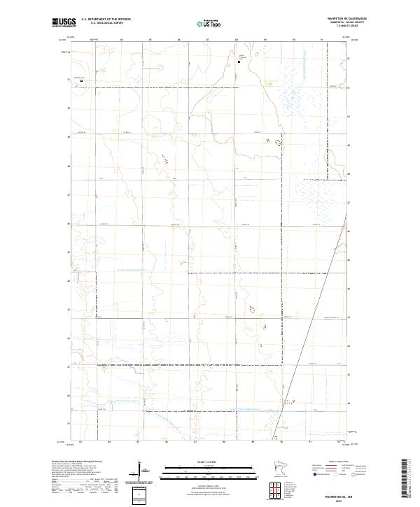 2022 Wahpeton NE2022 Print · USGSWilkin County's agricultural heartland is documented in the early twenty-first century, showing a landscape shaped by significant drainage projects and rural section lines. Genealogists and local historians can locate Mitchell Cem and Christ Lutheran Cem or trace the routes of State Ditch Number Fifteen and County Ditch Number Six-a.
 - 2022 Map of Baker, 2022 Print
 2022 Baker2022 Print · USGSBaker serves as the heart of this Clay County farming community in the 2020s, where the prairie grid meets winding waterways. Genealogists and local historians can trace property boundaries and land use along the S Br Buffalo River and near Baker, following the path of Hwy 52.
 - 2024 Map of Dwight, 2024 Print
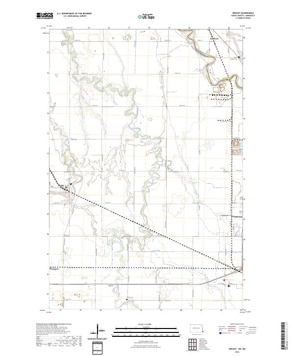 2024 Dwight2024 Print · USGSRichland County, North Dakota, is captured here in its modern agricultural form, showing the winding paths of the Wild Rice River and Antelope Creek. Genealogists can locate family sites at Faith Lutheran Cem, Moore Cem, or the small settlement of Dwight.
Showing maps 1-25 of 30
Top cities of Wilkin County
- Breckenridge historical maps
- Campbell historical maps
- Foxhome historical maps
- Wolverton historical maps
- Kent historical maps
- Nashua historical maps
See more
Frequently asked questions
- What are the different types of historical maps available for Wilkin County?
- What is the oldest map of Wilkin County?
- Where can I purchase historical maps of Wilkin County for my home or office?
- Where can I download high-res historical maps of Wilkin County?
- Are there historical topographic maps available for Wilkin County?
- Is there historical aerial imagery available for Wilkin County?
- Where are historical maps of Wilkin County sourced from?