2000s (21st Century) Maps of Wilkin County, Minnesota
Explore 120 historic maps of Wilkin County from the 2000s (21st Century). These maps offer a rare glimpse into what life looked like during the 2000s — showing old roads, neighborhoods, homes, and landmarks that have changed or disappeared over time.
Whether you're researching your family's past, planning a metal detecting trip, or studying how Wilkin County's landscape evolved across the 2000s, these high-resolution maps are a powerful tool for exploring the history of this region.
- Focus on a specific era: All maps on this page are from the 2000s, giving you a focused view of this time period.
- See what’s changed: Compare century-old streets, trails, and buildings to today's modern landscape using overlays and satellite layers.
- Research with precision: Use these maps for genealogy, historical research, land use analysis, or educational projects.
- View, download, or print: Maps are fully viewable online in high resolution, and can be downloaded or printed for your own records.
Start exploring Wilkin County's history through authentic maps from the 2000s. This is your window into the past.
Wilkin County, MN maps
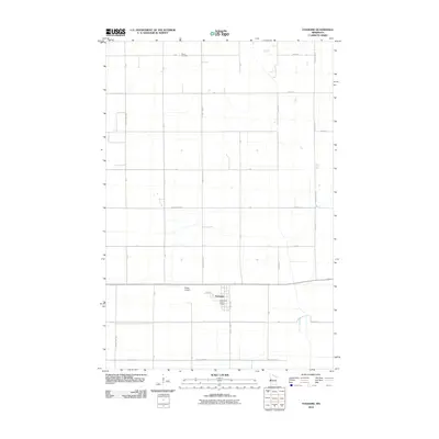
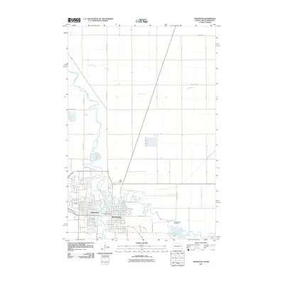
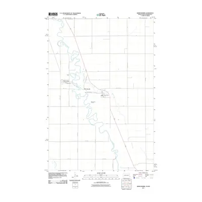
(120)- 2010 Map of Baker, 2010 Print
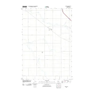 2010 Baker2010 Print · USGSCovers Wilkin County, including Baker, Clay County, and other nearby areas
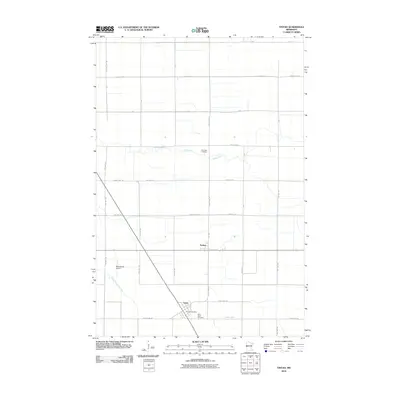
 - 2010 Map of Doran, 2010 Print
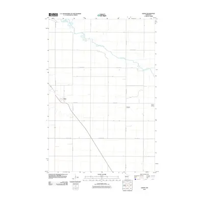 2010 Doran2010 Print · USGSCovers Wilkin County, including Doran, United States, and other nearby areas
 - 2010 Map of Big Slough, 2010 Print
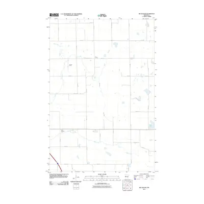 2010 Big Slough2010 Print · USGSCovers Wilkin County, including Clay County, Otter Tail County, and other nearby areas
 - 2010 Map of Barnesville, 2010 Print
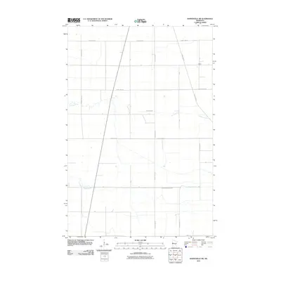
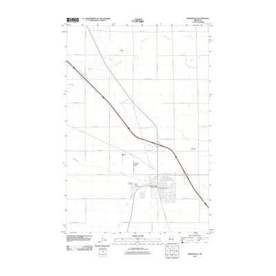 2010 Barnesville2010 Print · USGSCovers Wilkin County, including Barnesville, Clay County, and other nearby areas
 - 2010 Map of Barnesville SW, 2010 Print
 2010 Barnesville SW2010 Print · USGSCovers Wilkin County, including United States, Minnesota, and other nearby areas
 - 2010 Map of Wolverton SE, 2010 Print
 2010 Wolverton SE2010 Print · USGSCovers Wilkin County, including United States, Minnesota, and other nearby areas
 - 2010 Map of Comstock, 2010 Print
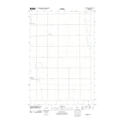 2010 Comstock2010 Print · USGSCovers Wilkin County, including Comstock, Rustad, and other nearby areas
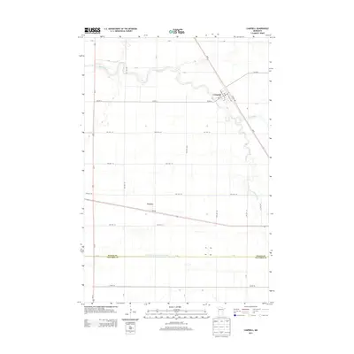
 - 2010 Map of Campbell, 2010 Print
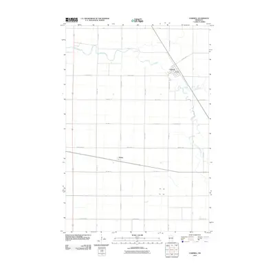 2010 Campbell2010 Print · USGSCovers Wilkin County, including Campbell, Tenney, and other nearby areas
 - 2010 Map of Foxhome, 2010 Print
 2010 Foxhome2010 Print · USGSCovers Wilkin County, including Foxhome, Carlisle Township, and other nearby areas
 - 2010 Map of Tintah, 2010 Print
 2010 Tintah2010 Print · USGSCovers Wilkin County, including Tintah, Nashua, and other nearby areas
 - 2010 Map of Rothsay NW, 2010 Print
 2010 Rothsay NW2010 Print · USGSCovers Wilkin County, including United States, Minnesota, and other nearby areas
 - 2010 Map of Everdell, 2010 Print
 2010 Everdell2010 Print · USGSCovers Wilkin County, including Everdell, United States, and other nearby areas
 - 2010 Map of Wahpeton NE, 2010 Print
 2010 Wahpeton NE2010 Print · USGSCovers Wilkin County, including United States, Minnesota, and other nearby areas
 - 2010 Map of Campbell NE, 2010 Print
 2010 Campbell NE2010 Print · USGSCovers Wilkin County, including Western Township, Orwell Township, and other nearby areas
 - 2010 Map of Rothsay, 2010 Print
 2010 Rothsay2010 Print · USGSCovers Wilkin County, including Rothsay, Otter Tail County, and other nearby areas
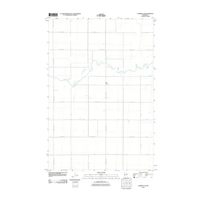
 - 2010 Map of Lawndale, 2010 Print
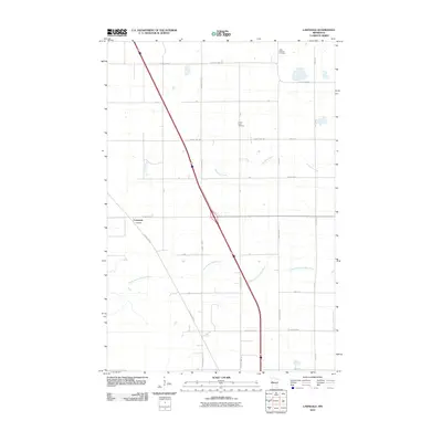 2010 Lawndale2010 Print · USGSCovers Wilkin County, including Lawndale, Otter Tail County, and other nearby areas
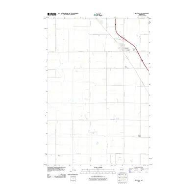
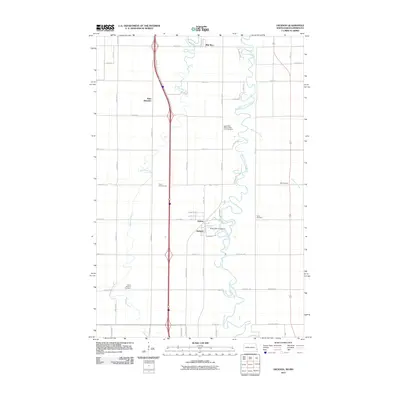
 - 2011 Map of Wahpeton, 2011 Print
 2011 Wahpeton2011 Print · USGSCovers Wilkin County, including Wahpeton, Breckenridge, and other nearby areas
 - 2011 Map of Hickson, 2011 Print
 2011 Hickson2011 Print · USGSCovers Wilkin County, including Fargo, Horace, and other nearby areas
 - 2011 Map of Christine, 2011 Print
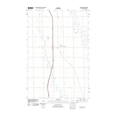 2011 Christine2011 Print · USGSCovers Wilkin County, including Christine, Eagle Township, and other nearby areas
 - 2011 Map of South of Wahpeton, 2011 Print
 2011 South of Wahpeton2011 Print · USGSCovers Wilkin County, including Wahpeton, Breckenridge, and other nearby areas
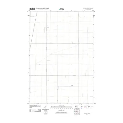
 - 2011 Map of Abercrombie, 2011 Print
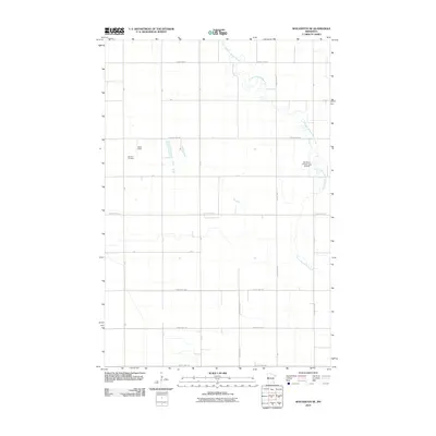
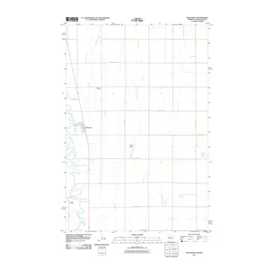
 2011 Abercrombie2011 Print · USGSCovers Wilkin County, including Abercrombie, Kent, and other nearby areas
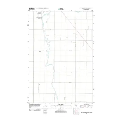
 - 2011 Map of Wolverton, 2011 Print
 2011 Wolverton2011 Print · USGSCovers Wilkin County, including Wolverton, Eagle Township, and other nearby areas
 - 2011 Map of Dwight, 2011 Print
 2011 Dwight2011 Print · USGSCovers Wilkin County, including Wahpeton, Dwight, and other nearby areas
 - 2011 Map of Fairmount, 2011 Print
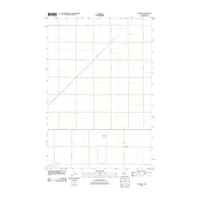
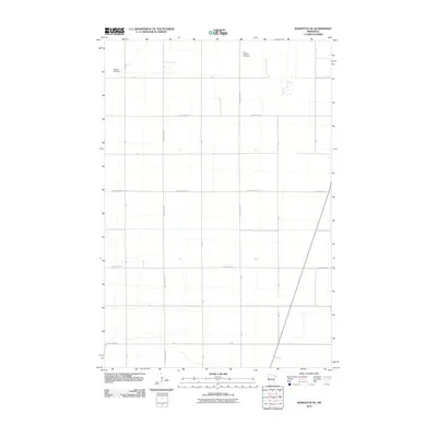
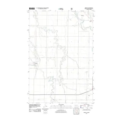
 2011 Fairmount2011 Print · USGSCovers Wilkin County, including Fairmount, Summit Township, and other nearby areas
 - 2013 Map of Campbell, 2013 Print
 2013 Campbell2013 Print · USGSCovers Wilkin County, including Campbell, Tenney, and other nearby areas
Showing maps 1-25 of 120
Top cities of Wilkin County
- Breckenridge historical maps
- Campbell historical maps
- Foxhome historical maps
- Wolverton historical maps
- Kent historical maps
- Nashua historical maps
See more
Frequently asked questions
- What are the different types of historical maps available for Wilkin County?
- What is the oldest map of Wilkin County?
- Where can I purchase historical maps of Wilkin County for my home or office?
- Where can I download high-res historical maps of Wilkin County?
- Are there historical topographic maps available for Wilkin County?
- Is there historical aerial imagery available for Wilkin County?
- Where are historical maps of Wilkin County sourced from?