Old Maps of Beaver, Minnesota for Academic Research
Study the evolution of Beaver with 12 high-resolution historic maps. Whether you're teaching, researching, or modeling changes in land use, these maps provide essential visual documentation of urban, environmental, and geographic change.
- Analyze long-term change: Track patterns in development, transportation, and natural features.
- Ideal for environmental or urban studies: Support academic projects with primary historical map data.
- Use in the classroom or lab: Educators and researchers rely on these maps to bring historical context to life.
These maps are a powerful tool for teaching, research, and visualizing how Beaver has changed over the decades.
Beaver, MN maps
(12)- 1934 Map of Plainview, 1960 Print
 1934 Plainview1960 Print · USGSWabasha and Winona Counties are shown in the mid-1930s as the railroad era connects prairie towns to the dramatic river bluffs. Genealogists can trace rural homesteads through a dense network of district schools like Fisher Hill Sch and historic grounds such as the Wabasha County Fair Grounds.
 - 1938 Map of Plainview
 1938 Plainview1938 Print · USGSSoutheastern Minnesota's driftless landscape was a patchwork of family farms and rural school districts in the late thirties. Genealogists and historians can trace the foundations of Plainview and Elba, and locate several burial grounds like Greenwood Cem and Fairwater Cem.2 unique versions available
 - 1953 Map of Saint Paul, 1964 Print
 1953 Saint Paul1964 Print · USGSThe Twin Cities and the Mississippi River valley are captured here at a mid-century turning point. Trace the early growth of Minneapolis and Saint Paul alongside landmarks like Lake Minnetonka and the St Croix River.4 unique versions available
 - 1959 Map of Saint Paul
 1959 Saint Paul1959 Print · USGSThe Twin Cities and southeastern Minnesota appear here in the late fifties, showing the peak of the rail era and post-war suburban growth. Genealogists can trace family footprints near Lake Minnetonka, the Univ Of Minn Rosemount Research Center, or the growing neighborhoods of Richfield.2 unique versions available
 - 1972 Map of Beaver, 1975 Print
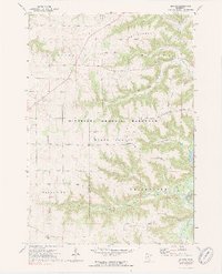 1972 Beaver1975 Print · USGSSoutheast Minnesota's bluff country is captured here in the early seventies, showing the junction of the Whitewater River and Beaver Creek. Genealogists can locate several rural burial sites, including Beaver Cem and Hoosier Ridge Cem, along with the Hoosier Ridge Ch.2 unique versions available
 - 1985 Map of Rochester
 1985 Rochester1985 Print · USGSSoutheastern Minnesota in the mid-eighties centers on the growth of Rochester and its surrounding river valleys. Trace family roots and old rail lines through Mantorville, Pine Island, and along the Mississippi River near Lake Pepin.
 - 1989 Map of Rochester
 1989 Rochester1989 Print · USGSSoutheastern Minnesota and the Mississippi River bluffs are captured here in the late eighties as the region balanced urban growth with its river-and-rail heritage. Researchers can trace the development of Rochester and find smaller rail towns like Kasson, Dodge Center, and Zumbrota.2 unique versions available
 - 2010 Map of Beaver, 2010 Print
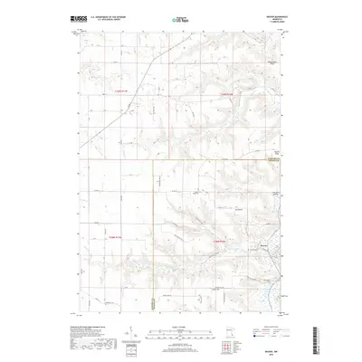
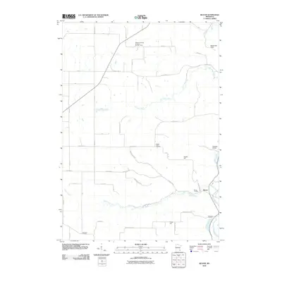 2010 Beaver2010 Print · USGSCovers Beaver, including Winona County, Wabasha County, and other nearby areas
 - 2013 Map of Beaver, 2013 Print
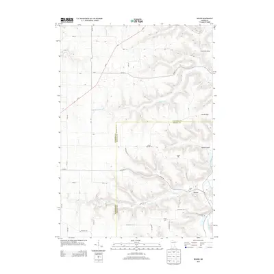 2013 Beaver2013 Print · USGSCovers Beaver, including Winona County, Wabasha County, and other nearby areas
 - 2016 Map of Beaver, 2016 Print
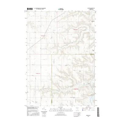 2016 Beaver2016 Print · USGSCovers Beaver, including Winona County, Wabasha County, and other nearby areas
 - 2019 Map of Beaver, 2019 Print
 2019 Beaver2019 Print · USGSCovers Beaver, including Winona County, Wabasha County, and other nearby areas
 - 2022 Map of Beaver, 2022 Print
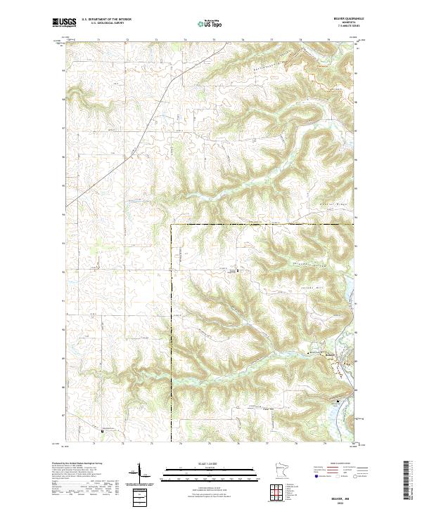 2022 Beaver2022 Print · USGSThe bluffs and valleys of southeastern Minnesota are captured here in the contemporary era, highlighting the settlement of Beaver. Genealogists and historians can trace the local drainage of Goeman Cr and the unique landforms that have shaped this community.
End of results
Showing maps 1-12 of 12
Top cities near Beaver
- Plainview historical maps
- Wabasha historical maps
- Eyota historical maps
- Lewiston historical maps
- Buffalo City historical maps
- Elgin historical maps
See more
Frequently asked questions
- What are the different types of historical maps available for Beaver?
- What is the oldest map of Beaver?
- Where can I purchase historical maps of Beaver for my home or office?
- Where can I download high-res historical maps of Beaver?
- Are there historical topographic maps available for Beaver?
- Is there historical aerial imagery available for Beaver?
- Where are historical maps of Beaver sourced from?