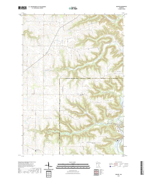
2022 Map of Beaver
USGS Topo · Published 2022About this map
Beaver sits at the base of the deeply carved bluffs in this section of southeastern Minnesota, situated where the valley floors widen into navigable terrain. This map documents a landscape defined by the drainage of Goeman Cr and the complex topography of the Driftless Area. The spatial arrangement of the region illustrates how geography dictated settlement patterns, with roads following the winding valley contours rather than a strict grid. Researchers can observe the contrast between the flat, cultivated uplands and the intricate network of coulees and ridges that descend toward the river bottoms.
Find a feature on this map
2 named features on this map. Tap any name to fly to it.
Don’t see what you’re looking for? This feature index may not catch every label — zoom into the map to look around manually.
Map Details
Editions of this 2022 Beaver Map
This is the sole edition of this map. No revisions or reprints were ever made.
Other maps of this area

1932 · Cochrane
USGS Topo · 1:62,500

1932 · Wabasha
USGS Topo · 1:62,500

1932 · Alma
USGS Topo · 1:62,500

1934 · Plainview
USGS Topo · 1:62,500

1934 · Cochrane
USGS Topo · 1:62,500

1937 · Cochrane
USGS Topo · 1:62,500

1938 · Plainview
USGS Topo · 1:62,500

1950 · Alma
USGS Topo · 1:62,500

1951 · Wabasha
USGS Topo · 1:62,500

1953 · Saint Paul
USGS Topo · 1:250,000