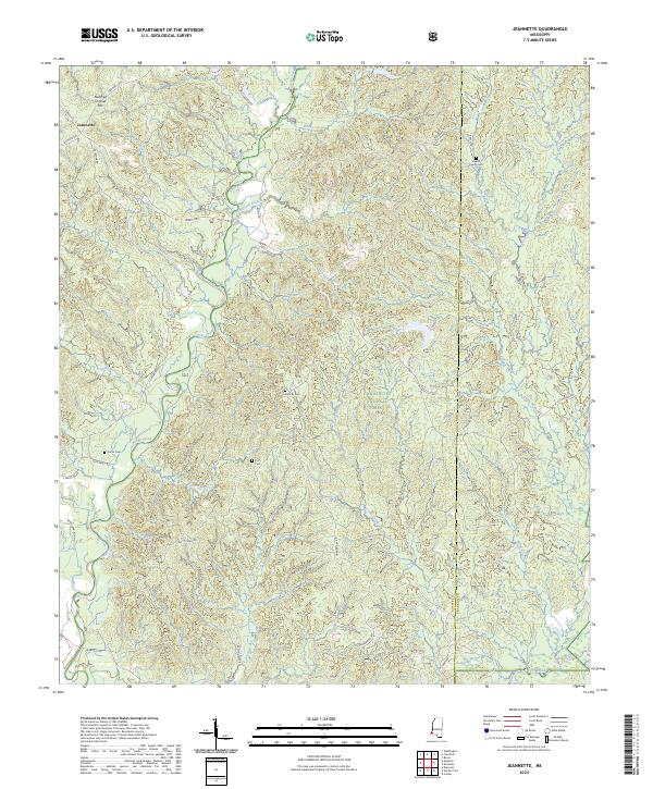
Old Maps of Jeannette, Mississippi for Genealogy
Trace your family roots with 13 historic maps of Jeannette. These high-res maps reveal old neighborhoods, homesites, landmarks, and streets — helping you uncover where your ancestors lived and how the area evolved over time.
- Explore historic neighborhoods: Identify where your relatives may have lived in the 1800s or 1900s.
- Compare maps over time: Trace the changes in streets, buildings, and landmarks for multi-generational research.
- Perfect for genealogy & ancestry research: Used by family historians and researchers to map out lineage and migration.
These maps are an incredible resource for exploring your personal connection to Jeannette's past.
Jeannette, MS maps
(13)- 1953 Map of Natchez, 1966 Print
 1953 Natchez1966 Print · USGSSouthwest Mississippi and the Louisiana border country come alive in this mid-century survey of the river valley and forest lands. Researchers can trace the rail lines of the Illinois Central RR and locate rural hubs like Gloster and Ferriday.3 unique versions available
 - 1956 Map of Natchez
 1956 Natchez1956 Print · USGSThe Mississippi River borderlands and the Pine Hills come alive in this mid-fifties study of the Natchez region. Genealogists and historians can trace rail-era towns along the Illinois Central RR and explore the oxbows of Lake Bruin and Lake Concordia.
 - 1959 Map of Natchez
 1959 Natchez1959 Print · USGSSouthwestern Mississippi and eastern Louisiana are captured in the late fifties, showing a landscape defined by the winding Mississippi River and the timbered Homochitto National Forest. Researchers can trace the sprawling Illinois Central RR and find rural landmarks like Union Church and Camp Van Dorn (Abandoned).
 - 1961 Map of Crosby, 1962 Print
 1961 Crosby1962 Print · USGSThe Homochitto River valley and its neighboring oil fields are captured here in the early sixties as they span four Mississippi counties. Researchers can trace rural lineages through numerous family sites like Dorsey Cem, Perrytown Ch, and the Illinois Central Railroad corridor.3 unique versions available
 - 1984 Map of Woodville
 1984 Woodville1984 Print · USGSThe Mississippi-Louisiana borderlands in the mid-eighties show a landscape defined by the shifting MISSISSIPPI RIVER and sprawling timberlands. Researchers can trace the ILLINOIS CENTRAL GULF railroad through Gloster or locate historic river points like Fort Adams and Point Breeze.
 - 1988 Map of Jeannette
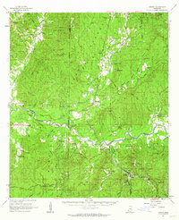
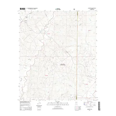
 1988 Jeannette1988 Print · USGSThe border of Adams and Franklin counties appears here in the late eighties, showing a landscape defined by timber management and petroleum extraction. Researchers can locate remote family landmarks like Holmes Cem and Carter Cem alongside the many Oil Wells of the Locust Hill Oil Field.
 - 1991 Map of Woodville
 1991 Woodville1991 Print · USGSWilkinson County and the Louisiana borderlands appear here in the early nineties, where the bluffs meet the Mississippi River floodplain. Trace the sites of old river landings and rural outposts like Fort Adams, Pinckneyville, and the remote Larto Lake community.
 - 2000 Map of Jeannette, 2002 Print
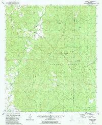
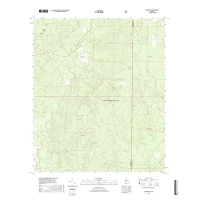
 2000 Jeannette2002 Print · USGSSouthwestern Mississippi timberlands and oil fields are the focus of this turn-of-the-millennium survey of the Adams County interior. Genealogists can trace family landmarks like Carter Cem, Pine Grove Ch, and the settlement of Jeannette.
 - 2012 Map of Jeannette, 2012 Print
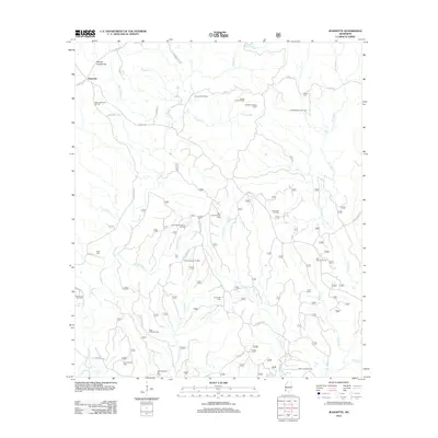 2012 Jeannette2012 Print · USGSCovers Jeannette, including Adams County, Franklin County, and other nearby areas
 - 2015 Map of Jeannette, 2015 Print
 2015 Jeannette2015 Print · USGSCovers Jeannette, including Adams County, Franklin County, and other nearby areas
 - 2018 Map of Jeannette, 2018 Print
 2018 Jeannette2018 Print · USGSCovers Jeannette, including Adams County, Franklin County, and other nearby areas
 - 2021 Map of Jeannette, 2021 Print
 2021 Jeannette2021 Print · USGSCovers Jeannette, including Adams County, Franklin County, and other nearby areas
 - 2024 Map of Jeannette, 2024 Print
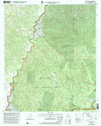
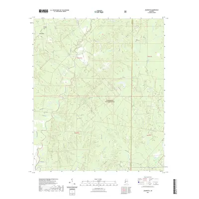
 2024 Jeannette2024 Print · USGSSouthwest Mississippi's rural landscape is captured here in the contemporary era as it straddles the Adams and Franklin County line. Genealogists can locate several family landmarks including Beach Family Cem, Holmes Cem, and the settlement of Jeannette.
End of results
Showing maps 1-13 of 13
Top cities near Jeannette
Frequently asked questions
- What are the different types of historical maps available for Jeannette?
- What is the oldest map of Jeannette?
- Where can I purchase historical maps of Jeannette for my home or office?
- Where can I download high-res historical maps of Jeannette?
- Are there historical topographic maps available for Jeannette?
- Is there historical aerial imagery available for Jeannette?
- Where are historical maps of Jeannette sourced from?