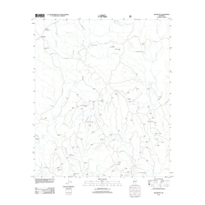
2012 Map of Jeannette
USGS Topo · Published 2012About this map
Jeannette and its surrounding countryside in Adams County are defined by a complex network of bayous and a sprawling petroleum economy. The landscape is etched with the drainage patterns of Sandy Cr and Pellucid Bayou, which wind between numerous active extraction sites including the South Jeannette Oil Field and the Pretty Creek Oil Field. This reliance on local mineral wealth is anchored by the Leesdale Lookout Tower, a prominent landmark situated north of the Leesdale Tower Oil Field.
Find a feature on this map
56 named features on this map. Tap any name to fly to it.
Don’t see what you’re looking for? This feature index may not catch every label — zoom into the map to look around manually.
Map Details
Editions of this 2012 Jeannette Map
This is the sole edition of this map. No revisions or reprints were ever made.
Other maps of this area

1921 · Natchez
USGS Topo · 1:48,000

1922 · Natchez
USGS Topo · 1:62,500

1939 · Natchez
USGS Topo · 1:62,500

1939 · Kingston
USGS Topo · 1:62,500

1953 · Natchez
USGS Topo · 1:250,000

1956 · Natchez
USGS Topo · 1:250,000

1958 · Kingston
USGS Topo · 1:62,500

1959 · Natchez
USGS Topo · 1:250,000

1961 · Crosby
USGS Topo · 1:62,500

1962 · Fayette
USGS Topo · 1:62,500