
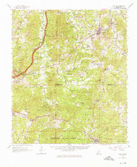
1962 Map of Fayette
USGS Topo · Published 1964About this map
The Emerald Mound stands as a prominent landmark on this terrain, signaling the deep pre-colonial history of the region. By the early 1960s, the landscape around the county seat of Fayette and nearby Harriston was defined by a mature extraction economy, evidenced by the extensive Cranfield Oil and Gas Field and the Forest Home Oil Field. These industrial zones sit in contrast to the numerous rural congregations and family burial grounds that dot the countryside, such as Chelsea Hill Ch and Old Gravel Hill Cem.
Find a feature on this map
112 named features on this map. Tap any name to fly to it.
Don’t see what you’re looking for? This feature index may not catch every label — zoom into the map to look around manually.
Map Details
Editions of this 1962 Fayette Map
2 editions found
Other maps of this area

1921 · Natchez
USGS Topo · 1:48,000

1922 · Natchez
USGS Topo · 1:62,500

1939 · Lorman
USGS Topo · 1:62,500

1939 · Natchez
USGS Topo · 1:62,500

1939 · Kingston
USGS Topo · 1:62,500

1939 · Locust Ridge
USGS Topo · 1:62,500

1953 · Natchez
USGS Topo · 1:250,000

1956 · Natchez
USGS Topo · 1:250,000

1958 · St. Joseph
USGS Topo · 1:62,500

1958 · Kingston
USGS Topo · 1:62,500