Old Maps of Winstonville, Mississippi for Genealogy
Trace your family roots with 20 historic maps of Winstonville. These high-res maps reveal old neighborhoods, homesites, landmarks, and streets — helping you uncover where your ancestors lived and how the area evolved over time.
- Explore historic neighborhoods: Identify where your relatives may have lived in the 1800s or 1900s.
- Compare maps over time: Trace the changes in streets, buildings, and landmarks for multi-generational research.
- Perfect for genealogy & ancestry research: Used by family historians and researchers to map out lineage and migration.
These maps are an incredible resource for exploring your personal connection to Winstonville's past.
Winstonville, MS maps
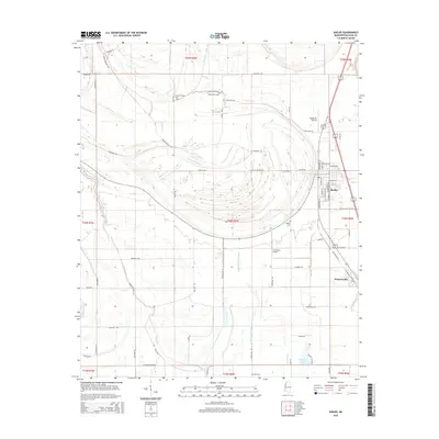
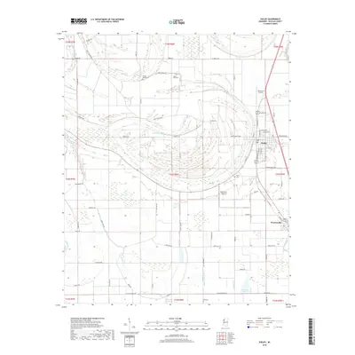
(20)- 1931 Map of Drew
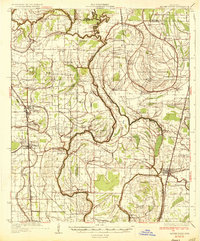
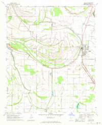
 1931 Drew1931 Print · USGSSunflower County's agricultural and social landscape is meticulously detailed in the early 1930s, centering on the communities of Mound Bayou and Drew. Researchers can trace the layout of the State Penitentiary Reservation and numerous country churches like Beautiful Star Ch and Shady Grove Ch.
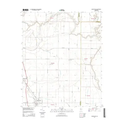
 - 1935 Map of Mound Bayou
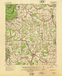
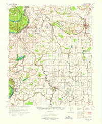
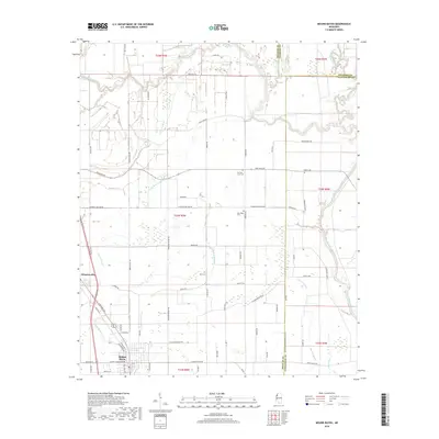
 1935 Mound Bayou1935 Print · USGSThe Mississippi Delta's agricultural and social landscape is captured here in the mid-1930s as local communities thrived along the rail lines. Genealogists can locate family landmarks like Pilgrims Rest Ch or trace the extensive camp system of the State Reservation.2 unique versions available
 - 1939 Map of Pace, 1942 Print
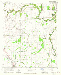
 1939 Pace1942 Print · USGSBolivar County in the late 1930s is a landscape of thriving Delta towns and extensive plantation land. Genealogists can locate family landmarks like Kirks Plantation, the Beulah Cem, and rural churches such as Pitts Chapel and Macedonia Ch.2 unique versions available
 - 1953 Map of Greenwood, 1966 Print
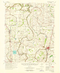
 1953 Greenwood1966 Print · USGSThe Mississippi Delta in the mid-fifties is captured here as a thriving network of river towns, railroads, and oxbow lakes. Researchers can trace the legacy of the Illinois Central Railroad and locate landmarks like the State Penal Farm and Greenville Air Force Base.5 unique versions available
 - 1956 Map of Greenwood
 1956 Greenwood1956 Print · USGSThe Mississippi Delta in the mid-fifties is captured here during a period of significant military and agricultural activity. Researchers can trace the rail lines of the Illinois Central RR, find the Greenville Air Force Base, or locate the State Penal Farm.
 - 1966 Map of Mound Bayou, 1967 Print
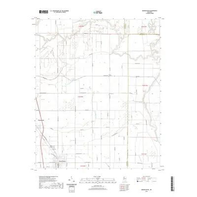
 1966 Mound Bayou1967 Print · USGSMississippi Delta life in the mid-sixties centers on the historic town of Mound Bayou and the Illinois Central tracks. Trace a landscape of country churches and cemeteries like Bradford Chapel, Wander Home Ch, and New Hope Cem.2 unique versions available
 - 1968 Map of Mound Bayou
 1968 Mound Bayou1968 Print · USGSThe Mississippi Delta's historic settlements and expansive agricultural lands are detailed here during the late sixties. Researchers can trace family roots through dozens of local landmarks like Mound Bayou, Indian Mounds, and the State Penal Farm.
 - 1969 Map of Shelby, 1971 Print
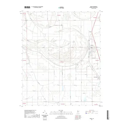
 1969 Shelby1971 Print · USGSBolivar County is captured here in the late sixties as a landscape of Delta bayous and railroad towns. Genealogists and local historians can locate many rural landmarks like St James Ch, Shelby Cem, and the Hollingsworth Landing Strips.
 - 1970 Map of Pace
 1970 Pace1970 Print · USGSThe Mississippi Delta's rail-and-river landscape comes alive in this 1970s survey of Bolivar County. Researchers can trace family history through dozens of rural landmarks like Peters Rock Ch, the Gunnison Cem, and the tracks of the Illinois Central Railroad.
 - 1983 Map of Greenwood
 1983 Greenwood1983 Print · USGSThe Mississippi Delta in the early eighties shows a landscape of rail-connected towns and vast river systems. Genealogists and historians can trace family roots in towns like Mound Bayou, Ruleville, and the grounds of Mississippi Valley State University.
 - 2012 Map of Mound Bayou, 2012 Print
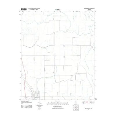 2012 Mound Bayou2012 Print · USGSCovers Winstonville, including Mound Bayou, Bolivar County, and other nearby areas
 - 2012 Map of Shelby, 2012 Print
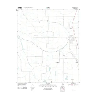 2012 Shelby2012 Print · USGSCovers Winstonville, including Shelby, Bolivar County, and other nearby areas
 - 2015 Map of Shelby, 2015 Print
 2015 Shelby2015 Print · USGSCovers Winstonville, including Shelby, Bolivar County, and other nearby areas
 - 2015 Map of Mound Bayou, 2015 Print
 2015 Mound Bayou2015 Print · USGSCovers Winstonville, including Mound Bayou, Bolivar County, and other nearby areas
 - 2018 Map of Mound Bayou, 2018 Print
 2018 Mound Bayou2018 Print · USGSCovers Winstonville, including Mound Bayou, Bolivar County, and other nearby areas
 - 2018 Map of Shelby, 2018 Print
 2018 Shelby2018 Print · USGSCovers Winstonville, including Shelby, Bolivar County, and other nearby areas
 - 2020 Map of Shelby, 2020 Print
 2020 Shelby2020 Print · USGSCovers Winstonville, including Shelby, Bolivar County, and other nearby areas
 - 2020 Map of Mound Bayou, 2020 Print
 2020 Mound Bayou2020 Print · USGSCovers Winstonville, including Mound Bayou, Bolivar County, and other nearby areas
 - 2024 Map of Mound Bayou, 2024 Print
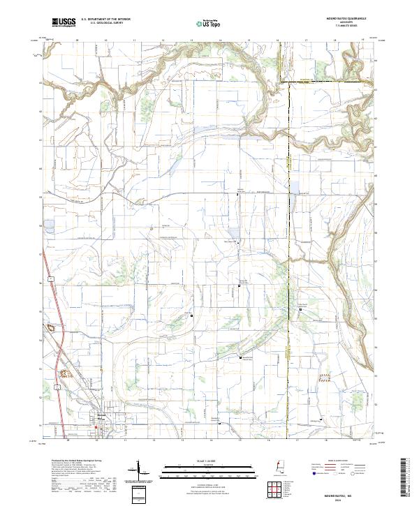 2024 Mound Bayou2024 Print · USGSThe historic town of Mound Bayou and its surrounding Delta farmland are shown here in recent detail. Genealogists can trace numerous local landmarks and burial sites including German Lane Cem, Spring Hill Church Cem, and Wanderer's Home Cem.
 - 2024 Map of Shelby, 2024 Print
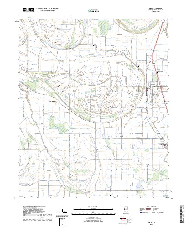 2024 Shelby2024 Print · USGSMississippi Delta life in Bolivar County centers on Shelby and Winstonville as they appeared in recent years. Genealogists can locate Macedonia Cem, Peters Rock Cem, and Hall Cem amid the oxbows of the Hushpuckena River.
End of results
Showing maps 1-20 of 20
Top cities near Winstonville
- Cleveland historical maps
- Ruleville historical maps
- Shelby historical maps
- Drew historical maps
- Mound Bayou historical maps
- Boyle historical maps
See more
Frequently asked questions
- What are the different types of historical maps available for Winstonville?
- What is the oldest map of Winstonville?
- Where can I purchase historical maps of Winstonville for my home or office?
- Where can I download high-res historical maps of Winstonville?
- Are there historical topographic maps available for Winstonville?
- Is there historical aerial imagery available for Winstonville?
- Where are historical maps of Winstonville sourced from?