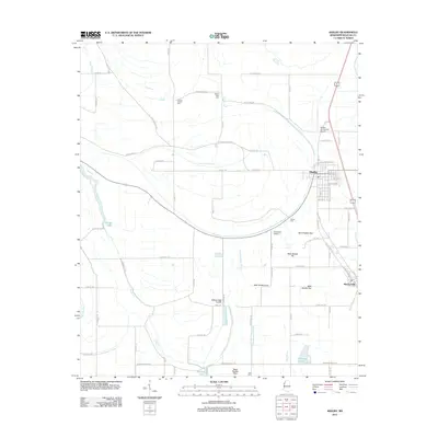
2012 Map of Shelby
USGS Topo · Published 2012About this map
The Mississippi Delta town of Shelby serves as the focal point of this Bolivar County landscape, which is defined by an intricate network of drainage and natural waterways. To the south lies the town of Winstonville, situated along the eastern edge of a region heavily managed by agricultural infrastructure, including Ditch Number One and Ditch Number Six. The terrain is marked by the winding courses of Bogue Phalia and Snake Cr, while several smaller lakes such as Sixmile Lake and Raineys Lake dot the southern portions of the quadrangle.
Find a feature on this map
79 named features on this map. Tap any name to fly to it.
Don’t see what you’re looking for? This feature index may not catch every label — zoom into the map to look around manually.
Map Details
Editions of this 2012 Shelby Map
This is the sole edition of this map. No revisions or reprints were ever made.
Other maps of this area

1930 · Mellwood
USGS Topo · 1:62,500

1931 · Drew
USGS Topo · 1:48,000

1935 · Clarksdale
USGS Topo · 1:62,500

1935 · Mound Bayou
USGS Topo · 1:62,500

1939 · Pace
USGS Topo · 1:62,500

1939 · Clarksdale
USGS Topo · 1:62,500

1939 · Mellwood
USGS Topo · 1:62,500

1948 · Helena
USGS Topo · 1:250,000

1950 · Helena
USGS Topo · 1:250,000

1953 · Greenwood
USGS Topo · 1:250,000