2000s (21st Century) Maps of Carroll County, Mississippi
Explore 105 historic maps of Carroll County from the 2000s (21st Century). These maps offer a rare glimpse into what life looked like during the 2000s — showing old roads, neighborhoods, homes, and landmarks that have changed or disappeared over time.
Whether you're researching your family's past, planning a metal detecting trip, or studying how Carroll County's landscape evolved across the 2000s, these high-resolution maps are a powerful tool for exploring the history of this region.
- Focus on a specific era: All maps on this page are from the 2000s, giving you a focused view of this time period.
- See what’s changed: Compare century-old streets, trails, and buildings to today's modern landscape using overlays and satellite layers.
- Research with precision: Use these maps for genealogy, historical research, land use analysis, or educational projects.
- View, download, or print: Maps are fully viewable online in high resolution, and can be downloaded or printed for your own records.
Start exploring Carroll County's history through authentic maps from the 2000s. This is your window into the past.
Carroll County, MS maps
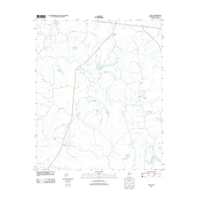
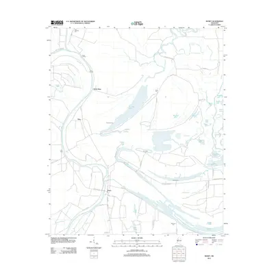
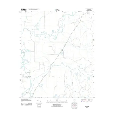
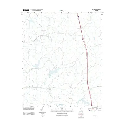
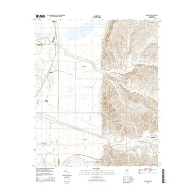
(105)- 2012 Map of Jefferson, 2012 Print
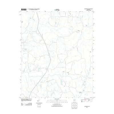 2012 Jefferson2012 Print · USGSCovers Carroll County, including Nason, Jefferson, and other nearby areas
 - 2012 Map of Cruger, 2012 Print
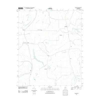 2012 Cruger2012 Print · USGSCovers Carroll County, including Cruger, Dulweber, and other nearby areas
 - 2012 Map of Bowling Green, 2012 Print
 2012 Bowling Green2012 Print · USGSCovers Carroll County, including Bowling Green, Poplar Springs, and other nearby areas
 - 2012 Map of Vaiden, 2012 Print
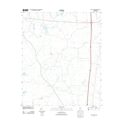
 2012 Vaiden2012 Print · USGSCovers Carroll County, including Vaiden, Beatty, and other nearby areas
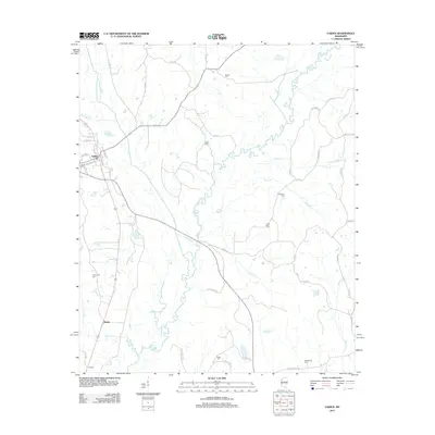
 - 2012 Map of Coila, 2012 Print
 2012 Coila2012 Print · USGSCovers Carroll County, including Carrollton, Coila, and other nearby areas
 - 2012 Map of Sidon, 2012 Print
 2012 Sidon2012 Print · USGSCovers Carroll County, including Greenwood, Sidon, and other nearby areas
 - 2012 Map of Peachahala Creek, 2012 Print
 2012 Peachahala Creek2012 Print · USGSCovers Carroll County, including Vaiden, Wiltshire, and other nearby areas
 - 2012 Map of Gravel Hill, 2012 Print
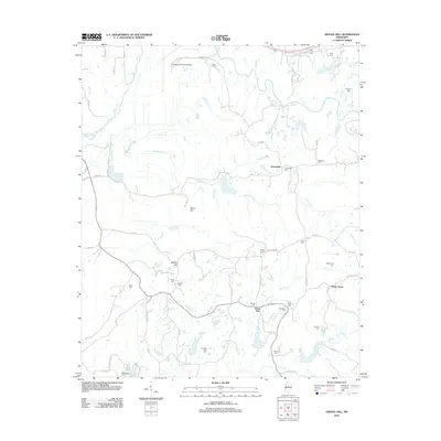 2012 Gravel Hill2012 Print · USGSCovers Carroll County, including Centerville, Gravel Hill, and other nearby areas
 - 2012 Map of Money, 2012 Print
 2012 Money2012 Print · USGSCovers Carroll County, including Money, Ruby, and other nearby areas
 - 2012 Map of Browning, 2012 Print
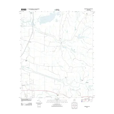 2012 Browning2012 Print · USGSCovers Carroll County, including Crenfree, Whaley, and other nearby areas
 - 2012 Map of Black Hawk, 2012 Print
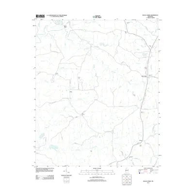 2012 Black Hawk2012 Print · USGSCovers Carroll County, including Black Hawk, Acona, and other nearby areas
 - 2012 Map of Greenwood, 2012 Print
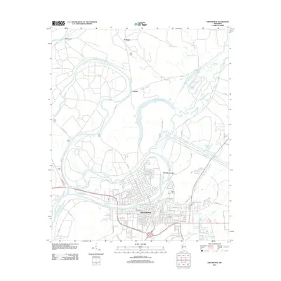 2012 Greenwood2012 Print · USGSCovers Carroll County, including Greenwood, Craigside, and other nearby areas
 - 2012 Map of Avalon, 2012 Print
 2012 Avalon2012 Print · USGSCovers Carroll County, including Avalon, Parsons, and other nearby areas
 - 2012 Map of Hesterville, 2012 Print
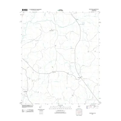 2012 Hesterville2012 Print · USGSCovers Carroll County, including Carmack, Possumneck, and other nearby areas
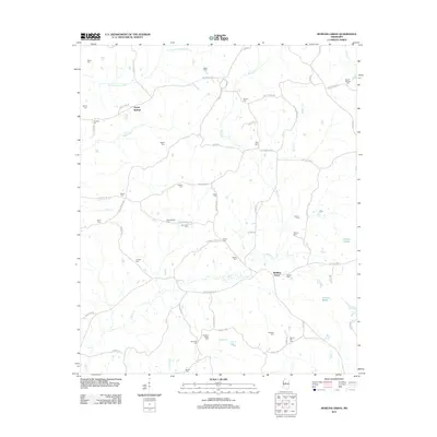
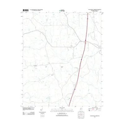
 - 2012 Map of Winona, 2012 Print
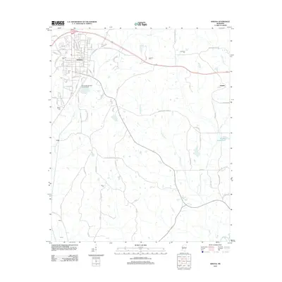 2012 Winona2012 Print · USGSCovers Carroll County, including Winona, Hendrix, and other nearby areas
 - 2012 Map of North Carrollton, 2012 Print
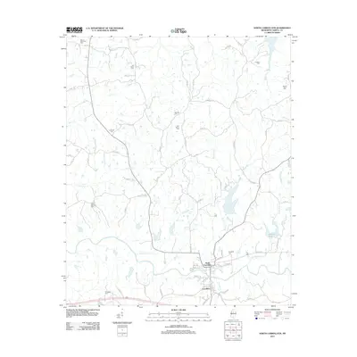 2012 North Carrollton2012 Print · USGSCovers Carroll County, including North Carrollton, Carrollton, and other nearby areas
 - 2012 Map of McCarley, 2012 Print
 2012 McCarley2012 Print · USGSCovers Carroll County, including Winona, McCarley, and other nearby areas
 - 2012 Map of Murdock Lake, 2012 Print
 2012 Murdock Lake2012 Print · USGSCovers Carroll County, including Emory, Holmes County, and other nearby areas
 - 2012 Map of Bailey Lake, 2012 Print
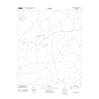
 2012 Bailey Lake2012 Print · USGSCovers Carroll County, including Winona, Montgomery County, and other nearby areas
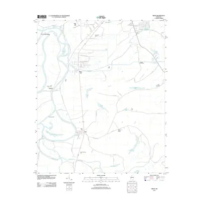
 - 2012 Map of West, 2012 Print
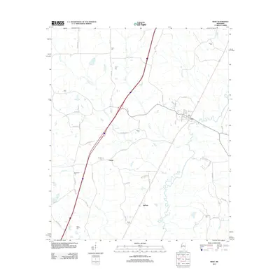 2012 West2012 Print · USGSCovers Carroll County, including West, Edsville, and other nearby areas
 - 2012 Map of Tie Plant, 2012 Print
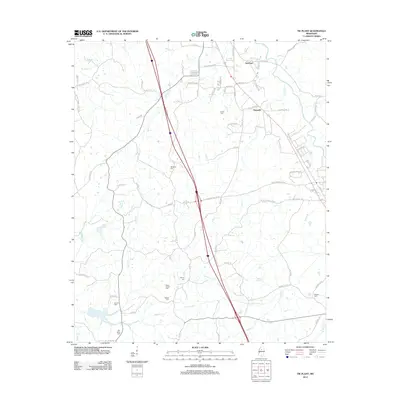 2012 Tie Plant2012 Print · USGSCovers Carroll County, including Grenada, Elliott, and other nearby areas
 - 2015 Map of Bailey Lake, 2015 Print
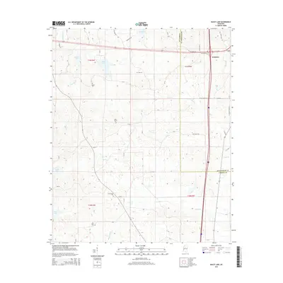 2015 Bailey Lake2015 Print · USGSCovers Carroll County, including Winona, Montgomery County, and other nearby areas
 - 2015 Map of McCarley, 2015 Print
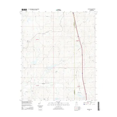 2015 McCarley2015 Print · USGSCovers Carroll County, including Winona, McCarley, and other nearby areas
 - 2015 Map of Greenwood, 2015 Print
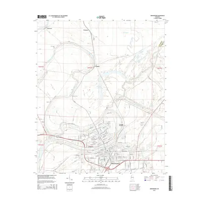 2015 Greenwood2015 Print · USGSCovers Carroll County, including Greenwood, Craigside, and other nearby areas
 - 2015 Map of Browning, 2015 Print
 2015 Browning2015 Print · USGSCovers Carroll County, including Crenfree, Whaley, and other nearby areas
Showing maps 1-25 of 105
Top cities of Carroll County
Frequently asked questions
- What are the different types of historical maps available for Carroll County?
- What is the oldest map of Carroll County?
- Where can I purchase historical maps of Carroll County for my home or office?
- Where can I download high-res historical maps of Carroll County?
- Are there historical topographic maps available for Carroll County?
- Is there historical aerial imagery available for Carroll County?
- Where are historical maps of Carroll County sourced from?