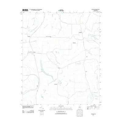
2012 Map of Cruger
USGS Topo · Published 2012About this map
Cruger and its surrounding hamlets sit at the edge of the Mississippi Delta, where the landscape is defined by a dense network of meandering bayous and managed waterways. Significant hydraulic modifications are evident in the Abiaca Creek Diversion Canal, which cuts across the terrain to control the flow of Abiaca Cr. The area is dotted with small, historically rooted settlements such as Oklahoma, Pine Bluff, Dulweber, and Meeks, many of which grew around the region's agricultural and transportation corridors.
Find a feature on this map
50 named features on this map. Tap any name to fly to it.
Don’t see what you’re looking for? This feature index may not catch every label — zoom into the map to look around manually.
Map Details
Editions of this 2012 Cruger Map
This is the sole edition of this map. No revisions or reprints were ever made.
Other maps of this area

1940 · Seven Pines
USGS Topo · 1:62,500

1940 · Lexington
USGS Topo · 1:62,500

1940 · Mileston
USGS Topo · 1:62,500

1953 · Greenwood
USGS Topo · 1:250,000

1954 · Mileston
USGS Topo · 1:62,500

1956 · Greenwood
USGS Topo · 1:250,000

1957 · Lexington
USGS Topo · 1:62,500

1957 · Seven Pines
USGS Topo · 1:62,500

1958 · Seven Pines
USGS Topo · 1:62,500

1958 · Lexington
USGS Topo · 1:62,500