2020s Maps of Claiborne County, Mississippi
Explore 36 historic maps of Claiborne County from the 2020s. These maps offer a rare glimpse into what life looked like during the 2020s — showing old roads, neighborhoods, homes, and landmarks that have changed or disappeared over time.
Whether you're researching your family's past, planning a metal detecting trip, or studying how Claiborne County's landscape evolved across the 2020s, these high-resolution maps are a powerful tool for exploring the history of this region.
- Focus on a specific era: All maps on this page are from the 2020s, giving you a focused view of this time period.
- See what’s changed: Compare century-old streets, trails, and buildings to today's modern landscape using overlays and satellite layers.
- Research with precision: Use these maps for genealogy, historical research, land use analysis, or educational projects.
- View, download, or print: Maps are fully viewable online in high resolution, and can be downloaded or printed for your own records.
Start exploring Claiborne County's history through authentic maps from the 2020s. This is your window into the past.
Claiborne County, MS maps
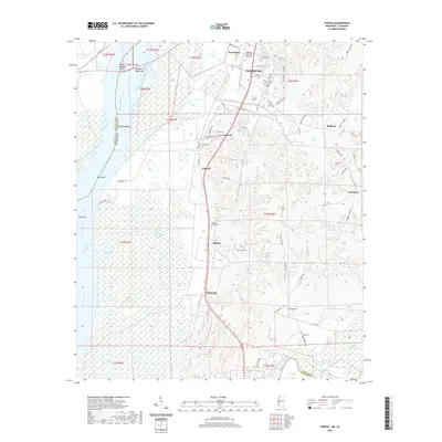
(36)- 2020 Map of Saint Joseph, 2020 Print
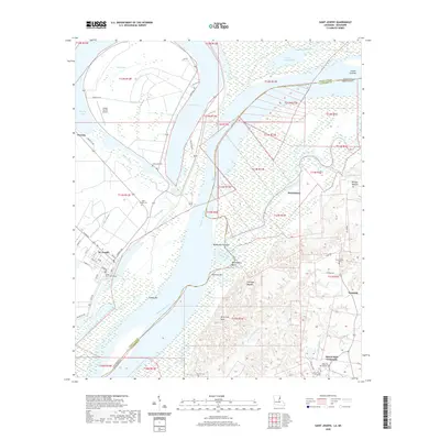 2020 Saint Joseph2020 Print · USGSCovers Claiborne County, including Saint Joseph, Westside, and other nearby areas
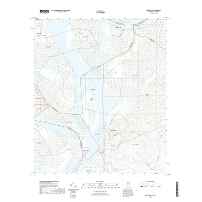
 - 2020 Map of Newellton, 2020 Print
 2020 Newellton2020 Print · USGSCovers Claiborne County, including Newellton, Yucatan Landing, and other nearby areas
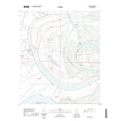
 - 2020 Map of Grand Gulf, 2020 Print
 2020 Grand Gulf2020 Print · USGSCovers Claiborne County, including Grand Gulf, Allen, and other nearby areas
 - 2020 Map of Port Gibson, 2020 Print
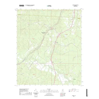
 2020 Port Gibson2020 Print · USGSCovers Claiborne County, including Port Gibson, Holly Rood, and other nearby areas
 - 2020 Map of Hermanville, 2020 Print
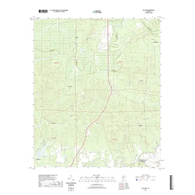
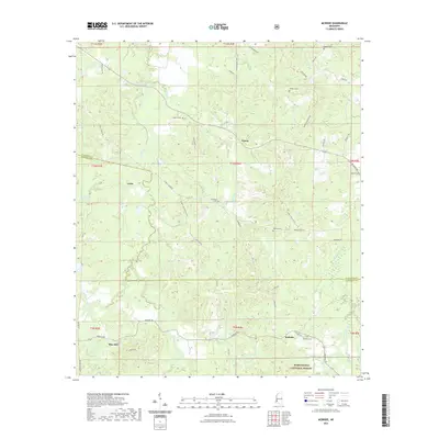
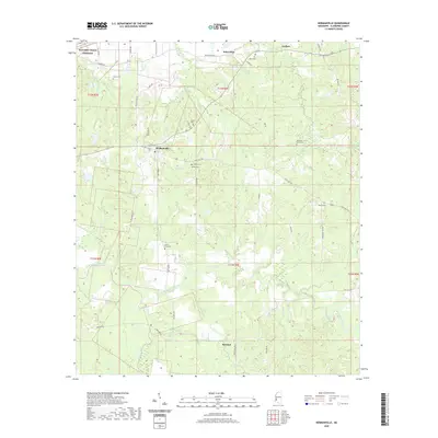 2020 Hermanville2020 Print · USGSCovers Claiborne County, including Barland, Hermanville, and other nearby areas
 - 2020 Map of Red Lick, 2020 Print
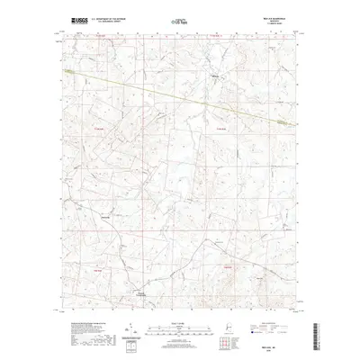 2020 Red Lick2020 Print · USGSCovers Claiborne County, including Red Lick, Dennis Crossroads, and other nearby areas
 - 2020 Map of Lorman, 2020 Print
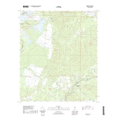
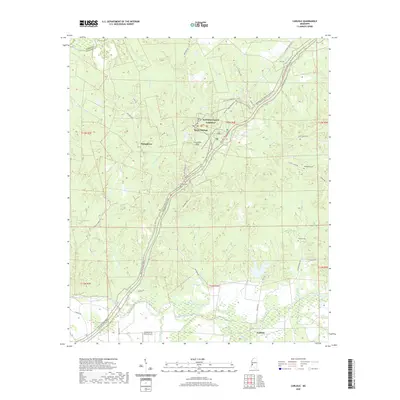
 2020 Lorman2020 Print · USGSCovers Claiborne County, including Clifton, Lorman, and other nearby areas
 - 2020 Map of Rodney, 2020 Print
 2020 Rodney2020 Print · USGSCovers Claiborne County, including Rodney, Tensas Parish, and other nearby areas
 - 2020 Map of Widows Creek, 2020 Print
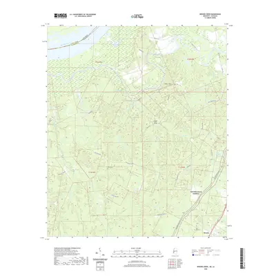 2020 Widows Creek2020 Print · USGSCovers Claiborne County, including Russum, Tensas Parish, and other nearby areas
 - 2020 Map of Willows, 2020 Print
 2020 Willows2020 Print · USGSCovers Claiborne County, including Hankinson, Willows, and other nearby areas
 - 2020 Map of Cayuga, 2020 Print
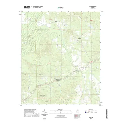 2020 Cayuga2020 Print · USGSCovers Claiborne County, including Reganton, Hubbard, and other nearby areas
 - 2020 Map of Utica West, 2020 Print
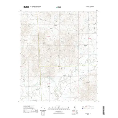 2020 Utica West2020 Print · USGSCovers Claiborne County, including Utica, Myles, and other nearby areas
 - 2020 Map of Yokena, 2020 Print
 2020 Yokena2020 Print · USGSCovers Claiborne County, including Vicksburg, Yokena, and other nearby areas
 - 2020 Map of Big Black, 2020 Print
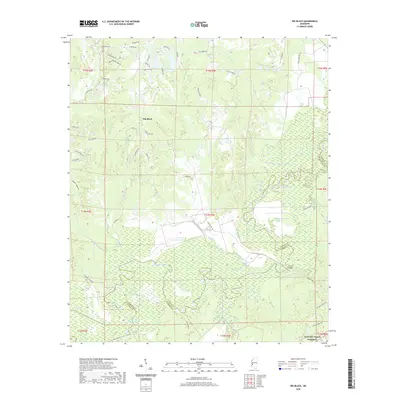 2020 Big Black2020 Print · USGSCovers Claiborne County, including Lake Park, Antioch, and other nearby areas
 - 2020 Map of Carlisle, 2020 Print
 2020 Carlisle2020 Print · USGSCovers Claiborne County, including Rocky Springs, Carlisle, and other nearby areas
 - 2021 Map of Dentville NW, 2021 Print
 2021 Dentville NW2021 Print · USGSCovers Claiborne County, including Conn, Copiah County, and other nearby areas
 - 2021 Map of McBride, 2021 Print
 2021 McBride2021 Print · USGSCovers Claiborne County, including Blue Hill, Violet, and other nearby areas
 - 2021 Map of Barlow, 2021 Print
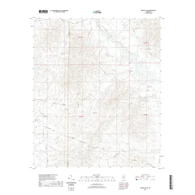
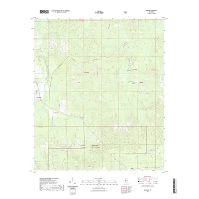 2021 Barlow2021 Print · USGSCovers Claiborne County, including Barlow, Burnell, and other nearby areas
 - 2024 Map of Utica West, 2024 Print
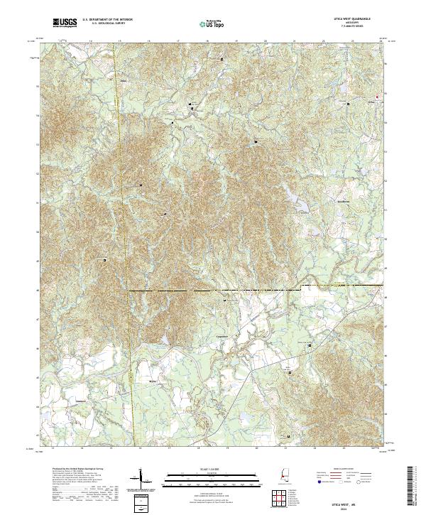 2024 Utica West2024 Print · USGSHinds County and the surrounding tri-county borders are captured here in the early twenty-first century as rural life persists among the creek basins. Genealogists can trace family roots at McClellan Cem or Seven Star Cem and locate homes near Utica and Reedtown.
 - 2024 Map of Dentville NW, 2024 Print
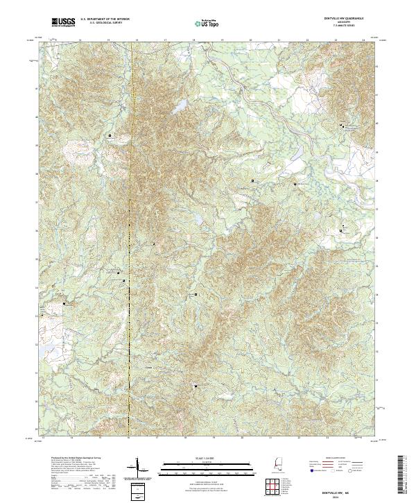 2024 Dentville NW2024 Print · USGSThe rural borders of Claiborne and Copiah counties are captured here in the 2020s, revealing a landscape deeply rooted in its local history. Researchers can trace numerous family landmarks and burial sites, from Conn to the New Chapel Hill Missionary Baptist Church Cem and Howard Cem.
 - 2024 Map of Barlow, 2024 Print
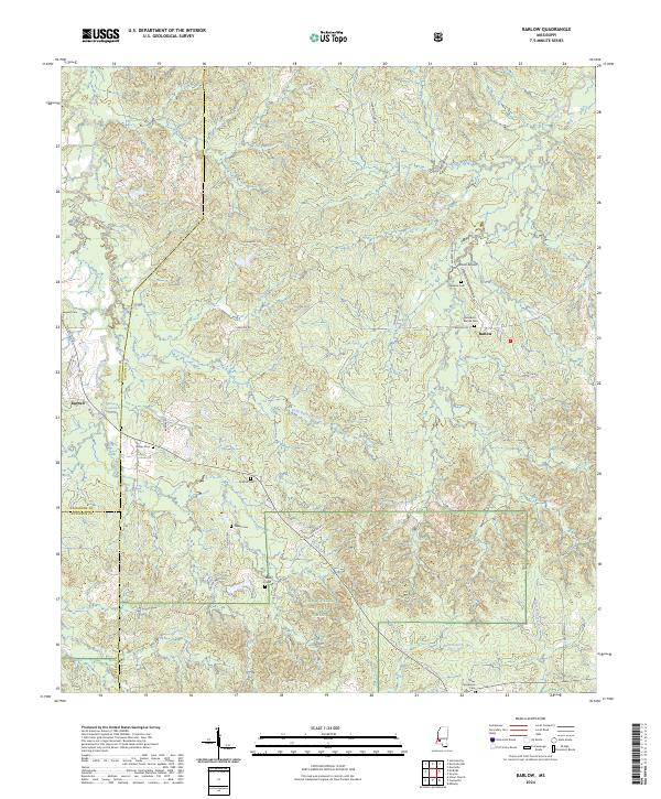 2024 Barlow2024 Print · USGSSouthern Mississippi's timberlands and rural communities are captured here in a contemporary view of the Copiah County area. Genealogists can trace family heritage through numerous landmarks like Rehobeth - Barlow Cem, Hawkins Cem, and the settlement of Barlow.
 - 2024 Map of Cayuga, 2024 Print
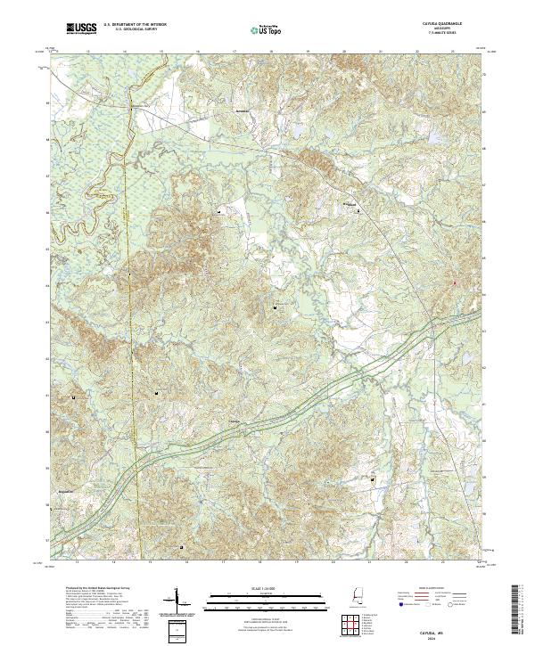 2024 Cayuga2024 Print · USGSHinds and Warren counties are documented here in the modern era as the Natchez Trace Parkway winds through the hills. Genealogists can locate numerous small family burial sites including Cook Cem, Hart Cem, and the historic river crossing at Baldwins Ferry.
 - 2024 Map of McBride, 2024 Print
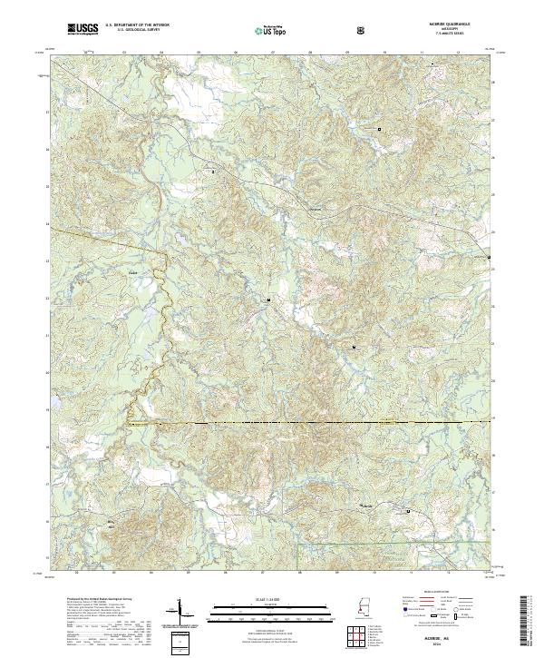 2024 McBride2024 Print · USGSClaiborne and Jefferson Counties meet in this rural Mississippi landscape where modern forestry and family heritage intersect. Researchers can trace land tracts near McBride, Blue Hill, and historic burial sites such as Antioch Cem and Herlong Cem.
 - 2024 Map of Port Gibson, 2024 Print
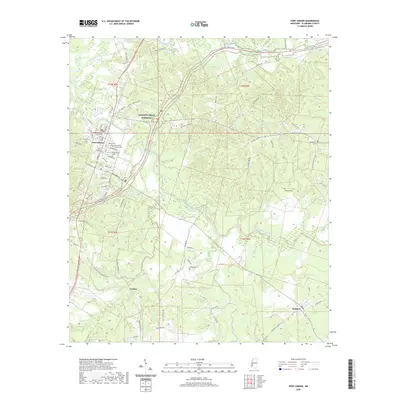
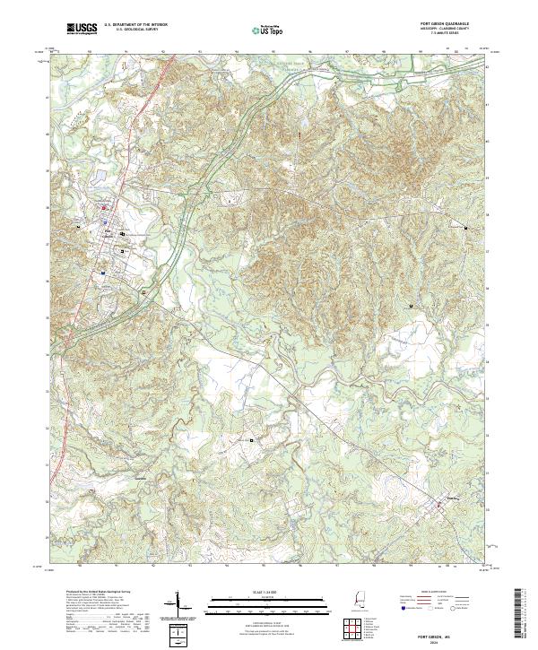 2024 Port Gibson2024 Print · USGSPort Gibson and the surrounding Claiborne County countryside are captured here in the contemporary era, showcasing a landscape deeply tied to its watercourses and frontier history. Researchers can trace family sites at Wintergreen Cem or Jewish Cem and locate landmarks like the Claiborne County Courthouse.
 - 2024 Map of Lorman, 2024 Print
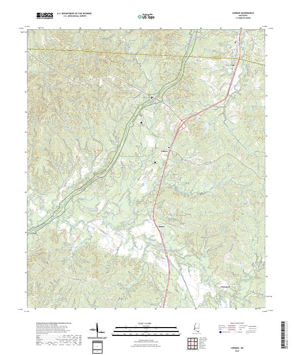 2024 Lorman2024 Print · USGSJefferson County in the 2020s remains a landscape of deep creek valleys and historic road networks winding through the Mississippi woods. Researchers can locate family landmarks like China Grove Cem and McCaa Cem or trace the route of the Natchez Trace Parkway past Lorman.
Showing maps 1-25 of 36
Top cities of Claiborne County
Frequently asked questions
- What are the different types of historical maps available for Claiborne County?
- What is the oldest map of Claiborne County?
- Where can I purchase historical maps of Claiborne County for my home or office?
- Where can I download high-res historical maps of Claiborne County?
- Are there historical topographic maps available for Claiborne County?
- Is there historical aerial imagery available for Claiborne County?
- Where are historical maps of Claiborne County sourced from?