2010s Maps of Claiborne County, Mississippi
Explore 54 historic maps of Claiborne County from the 2010s. These maps offer a rare glimpse into what life looked like during the 2010s — showing old roads, neighborhoods, homes, and landmarks that have changed or disappeared over time.
Whether you're researching your family's past, planning a metal detecting trip, or studying how Claiborne County's landscape evolved across the 2010s, these high-resolution maps are a powerful tool for exploring the history of this region.
- Focus on a specific era: All maps on this page are from the 2010s, giving you a focused view of this time period.
- See what’s changed: Compare century-old streets, trails, and buildings to today's modern landscape using overlays and satellite layers.
- Research with precision: Use these maps for genealogy, historical research, land use analysis, or educational projects.
- View, download, or print: Maps are fully viewable online in high resolution, and can be downloaded or printed for your own records.
Start exploring Claiborne County's history through authentic maps from the 2010s. This is your window into the past.
Claiborne County, MS maps
(54)- 2012 Map of Saint Joseph, 2012 Print
 2012 Saint Joseph2012 Print · USGSThe Mississippi River borderlands between Louisiana and Mississippi come into focus in the early 2010s. Genealogists and historians can trace the grounds of Alcorn State University, locate ancient Windsor Mounds, or explore the riverfront landings of Saint Joseph.
 - 2012 Map of Lorman, 2012 Print
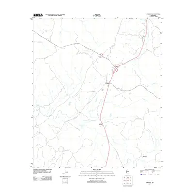 2012 Lorman2012 Print · USGSJefferson County's rural communities and creek-riven landscape are documented here at the start of the 2010s. Researchers can locate family landmarks like Waterloo Cem, trace the route of the Natchez Trace Pkwy, and explore settlements like Coon Box and Lorman.
 - 2012 Map of Grand Gulf, 2012 Print
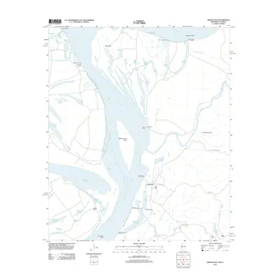 2012 Grand Gulf2012 Print · USGSThe Mississippi River's powerful meander through Claiborne County is captured here in the early twenty-first century. Researchers can trace the riverfront history of Grand Gulf and locate local landmarks like Grand Gulf Cem, Allen, and several historic river landings.
 - 2012 Map of Barlow, 2012 Print
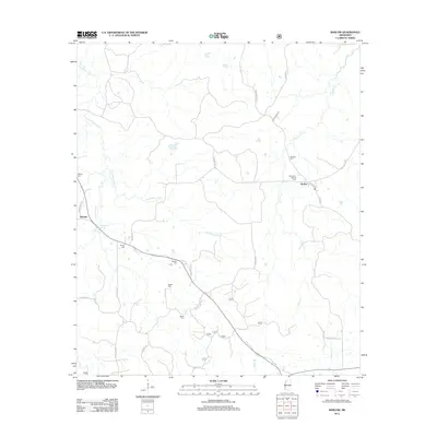 2012 Barlow2012 Print · USGSInland Copiah County is documented here during the early twenty-first century, showcasing a rural landscape defined by family settlements and stream valleys. Genealogists can trace local history through numerous burial sites like Rehobeth-Barlow Cem and Weeks Cem near Little Bayou Pierre.
 - 2012 Map of McBride, 2012 Print
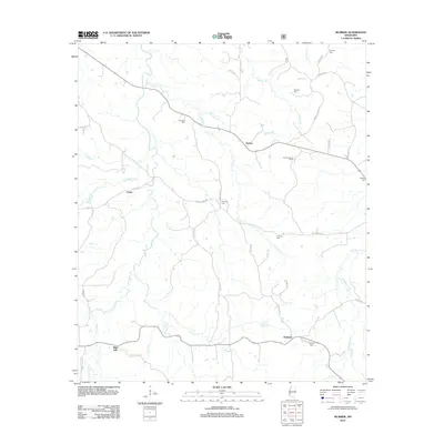 2012 McBride2012 Print · USGSRural Jefferson County comes into focus in this modern era survey of the settlements near McBride and Blue Hill. Researchers can locate numerous family burial sites such as Herlong Cem and Segrest Cem, or trace the winding course of Brandywine Cr and Johnson Cr.
 - 2012 Map of Dentville NW, 2012 Print
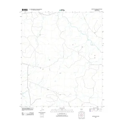 2012 Dentville NW2012 Print · USGSCopiah County is depicted here in the early twenty-first century, showing a rural Mississippi landscape defined by its creek systems and family histories. Genealogists can locate numerous local landmarks including Vaughn Cem, Little Zion Cem, and the settlement of Conn.
 - 2012 Map of Rodney, 2012 Print
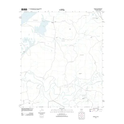 2012 Rodney2012 Print · USGSNear the banks of the Mississippi River, this 2012 survey shows a landscape defined by riverside settlements and active energy production. Researchers can trace historic family sites at Rodney Cem and Griffin Cem or explore the geography of the Rodney Island Oil Field and the Natchez Trace Pkwy.
 - 2012 Map of Widows Creek, 2012 Print
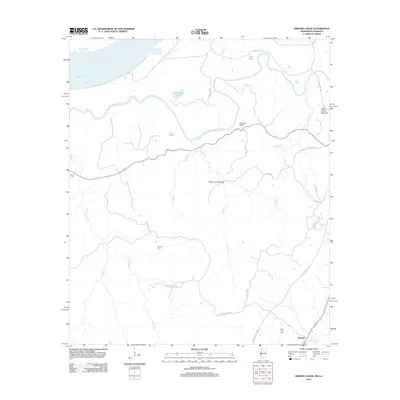 2012 Widows Creek2012 Print · USGSCoastal Mississippi and Louisiana wetlands are documented here in the early twenty-first century as Bayou Pierre meets the Mississippi River. Genealogists can locate family burial sites at Daniell Cem or Holly Hill Cem and trace the modern Natchez Trace Pkwy near Russum.
 - 2012 Map of Hermanville, 2012 Print
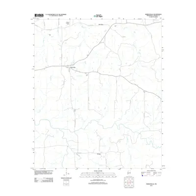 2012 Hermanville2012 Print · USGSClaiborne County at the start of the 2010s reveals a deeply rooted landscape of rural communities and family history. Genealogists can trace numerous local burial sites like Cherry Farm Cem and Patona Cem or follow the banks of Little Bayou Pierre.
 - 2012 Map of Newellton, 2012 Print
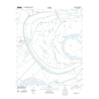 2012 Newellton2012 Print · USGSTensas Parish life centers around the great oxbow of Lake Saint Joseph in this recent survey of the Louisiana delta. Genealogists and local historians can trace legacy sites from the town of Newellton to rural landmarks like Saint Matthew Cem and Yucatan Landing.
 - 2012 Map of Cayuga, 2012 Print
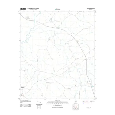 2012 Cayuga2012 Print · USGSThis Mississippi landscape near the Big Black River reflects a deeply-rooted rural community as it appeared in the early 21st century. Genealogists and local historians can locate several family cemeteries, including McElwee Cem and Hutchins Cem, alongside the historic Natchez Trace Pkwy.
 - 2012 Map of Utica West, 2012 Print
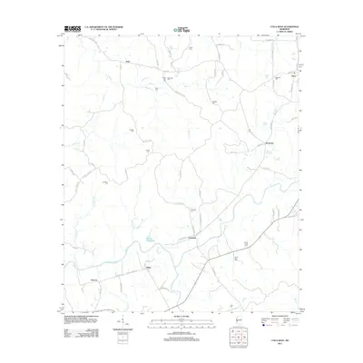 2012 Utica West2012 Print · USGSThe rural landscapes of Hinds County are documented here in the early twenty-first century, showing a region deeply rooted in its family lands. Genealogists can locate numerous burial sites like Ritchey Cem and Griffin Cem alongside small settlements like Myles and Insmore.
 - 2012 Map of Big Black, 2012 Print
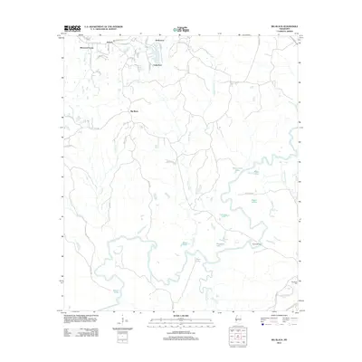 2012 Big Black2012 Print · USGSThe Big Black River basin reveals its complex network of oxbow lakes and sloughs south of Lake Park in the early 2010s. Researchers can trace the winding Big Black River to find Fishers Bridge, Henderson Cem, and the historic corridor of the Natchez Trace Pkwy.
 - 2012 Map of Yokena, 2012 Print
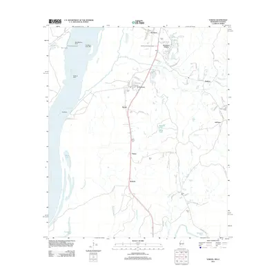 2012 Yokena2012 Print · USGSSouth of Vicksburg in the early twenty-first century, this area shows the relationship between the Mississippi River and the communities along its banks. Genealogists and local historians can locate several family-named burial sites like Glass Cem and Wright Cem, or trace the development of Le Tourneau and Yokena.
 - 2012 Map of Willows, 2012 Print
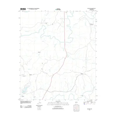 2012 Willows2012 Print · USGSThe rural landscapes near the Big Black River are captured here in the early twenty-first century. Genealogists and historians can trace numerous family burial sites like Old Savoy Cem and Humphreys Cem, or locate the historic Grindstone Ford.
 - 2012 Map of Carlisle, 2012 Print
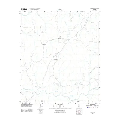 2012 Carlisle2012 Print · USGSClaiborne County in the early twenty-first century remains defined by the winding Natchez Trace and its deep-rooted rural settlements. Researchers can trace family sites at Rocky Springs Cem and Harper Cem or locate the quiet Carlisle community near Bayou Pierre.
 - 2012 Map of Port Gibson, 2012 Print
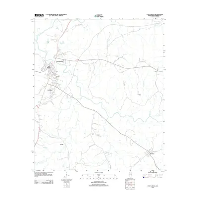 2012 Port Gibson2012 Print · USGSPort Gibson and its surrounding Claiborne County countryside are captured here in the early twenty-first century. Researchers can trace ancestral connections through numerous local landmarks like Wintergreen Cem, the Jewish Cem, and the rural community of Pattison.
 - 2012 Map of Red Lick, 2012 Print
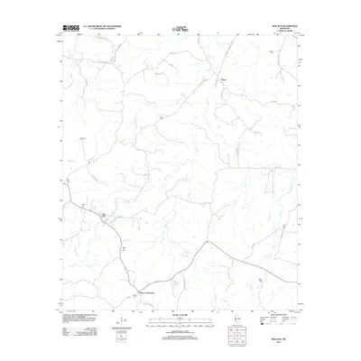 2012 Red Lick2012 Print · USGSJefferson County in the early twenty-first century remains a landscape of quiet crossroads and historic family burial sites. Genealogists and local historians can trace community roots through landmarks like Cherry Hill Cem, Dennis Crossroads, and the Redlick Oil Field.
 - 2015 Map of Newellton, 2015 Print
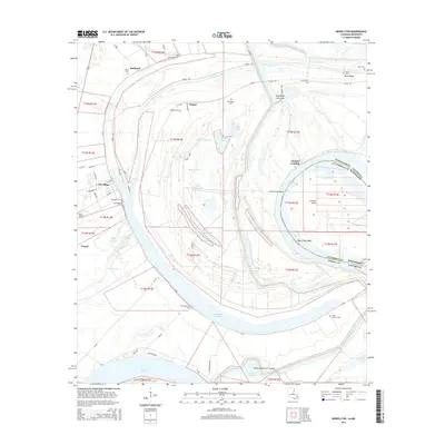 2015 Newellton2015 Print · USGSTensas Parish and the Mississippi River borderlands come alive in this study of the delta landscape. Genealogists can trace family names and local history through Newellton Cem, Saint Antioch Cem, and landmarks like Yucatan Landing.
 - 2015 Map of Lorman, 2015 Print
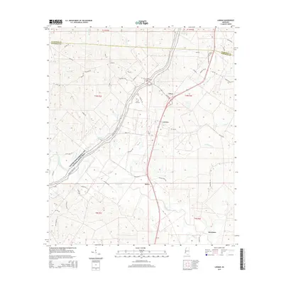 2015 Lorman2015 Print · USGSJefferson County and the Natchez Trace corridor are captured here during the mid-2010s, showing a landscape defined by historic transit routes and rural settlements. Genealogists can locate family burial grounds like Waterloo Cem and China Grove Cem or trace the environs of Lorman and Stonington.
 - 2015 Map of Saint Joseph, 2015 Print
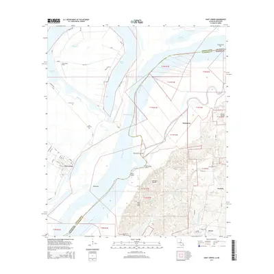 2015 Saint Joseph2015 Print · USGSThe Mississippi River borderland comes alive in this survey, showing Saint Joseph, Louisiana, and Alcorn State Univ in Mississippi. Genealogists and historians can locate Windsor Mounds, the settlement at Bruinsburg, and several family burial sites like Cochrandale Cem.
 - 2015 Map of Rodney, 2015 Print
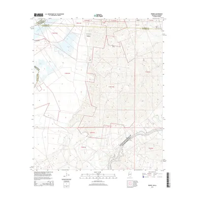 2015 Rodney2015 Print · USGSThe Mississippi River border near Jefferson County is captured here in the mid-2010s, showing a landscape of river bends and high ridges. Researchers can trace family sites at Rodney Cem or Laurel Hill Cem and locate the historic Rodney settlement near the banks of Flatland Lake.
 - 2015 Map of Widows Creek, 2015 Print
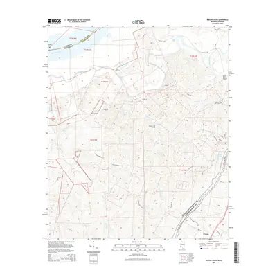 2015 Widows Creek2015 Print · USGSThe river bottomlands and loess bluffs of Claiborne County appear here in detail during the early twenty-first century. Genealogists and historians can locate rural landmarks like Holly Hill Cem, the Bayou Pierre Mounds, and the settlement of Russum near the iconic Natchez Trace Pkwy.
 - 2015 Map of Red Lick, 2015 Print
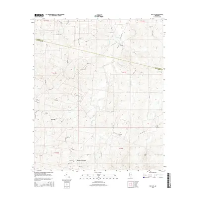 2015 Red Lick2015 Print · USGSJefferson County's rural uplands are shown in fine detail during the mid-2010s, revealing a landscape of small crossroads and family cemeteries. Trace local lineage and land use through features like Red Lick, Dennis Crossroads, and Beech Hill Cem.
 - 2015 Map of Port Gibson, 2015 Print
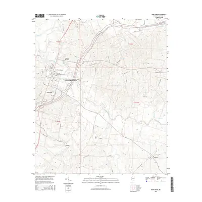 2015 Port Gibson2015 Print · USGSPort Gibson and its surrounding river bottoms are documented here in the early twenty-first century. Genealogists and local historians can locate many rural burial grounds, such as Wilson Cem and Turnipseed Cem, or trace the path of Bayou Pierre.
Showing maps 1-25 of 54
Top cities of Claiborne County
Frequently asked questions
- What are the different types of historical maps available for Claiborne County?
- What is the oldest map of Claiborne County?
- Where can I purchase historical maps of Claiborne County for my home or office?
- Where can I download high-res historical maps of Claiborne County?
- Are there historical topographic maps available for Claiborne County?
- Is there historical aerial imagery available for Claiborne County?
- Where are historical maps of Claiborne County sourced from?