2015 Map of Rodney
USGS Topo · Published 2015About this map
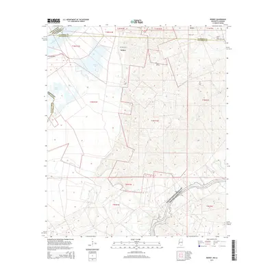
Rodney and the surrounding riverlands are defined by the ever-shifting path of the Mississippi River along the border of Jefferson County and Louisiana. This terrain is marked by remnants of fluvial activity such as Flatland Lake, Piazza Lake, and the prominent Cottage Bend. For genealogists and local historians, the landscape preserves numerous family and community burial sites including Rodney Cem, Laurel Hill Cem, Logan Cem, and Griffin Cem. To the east, the settlement of Alcorn is evidenced by the Alcorn State University Airport, indicating the institutional presence in this area. The southern portion of the map is traversed by the Natchez Trace Parkway and National Scenic Trail, a major historical corridor that cuts through the township grids of T9N R1W and T10N R1W.
Find a feature on this map
26 named features on this map. Tap any name to fly to it.
Don’t see what you’re looking for? This feature index may not catch every label — zoom into the map to look around manually.
Map Details
Editions of this 2015 Rodney Map
This is the sole edition of this map. No revisions or reprints were ever made.
Other maps of this area

1909 · Delta Bridge
USGS Topo · 1:24,000

1909 · Lake Bruen
USGS Topo · 1:24,000

1921 · Natchez
USGS Topo · 1:48,000

1922 · Natchez
USGS Topo · 1:62,500

1939 · Lorman
USGS Topo · 1:62,500

1939 · Natchez
USGS Topo · 1:62,500

1939 · Locust Ridge
USGS Topo · 1:62,500

1953 · Natchez
USGS Topo · 1:250,000

1956 · Natchez
USGS Topo · 1:250,000

1958 · St. Joseph
USGS Topo · 1:62,500