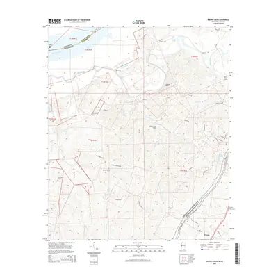
2015 Map of Widows Creek
USGS Topo · Published 2015About this map
The Mississippi River and the meandering Bayou Pierre define the northwest corner of this Claiborne County landscape, where the alluvial plain meets the rising uplands of southwestern Mississippi. A legacy of early regional travel is preserved in the Natchez Trace Parkway and National Scenic Trail, which cuts across the southeastern portion of the map near the settlement of Russum. The terrain is deeply incised by numerous waterways including Widows Creek, Buck Cr, and Centers Cr, reflecting the complex drainage patterns of the Loess Hills.
Find a feature on this map
44 named features on this map. Tap any name to fly to it.
Don’t see what you’re looking for? This feature index may not catch every label — zoom into the map to look around manually.
Map Details
Editions of this 2015 Widows Creek Map
This is the sole edition of this map. No revisions or reprints were ever made.
Other maps of this area

1909 · Lake Bruen
USGS Topo · 1:24,000

1939 · Yokena
USGS Topo · 1:62,500

1939 · Lorman
USGS Topo · 1:62,500

1953 · Natchez
USGS Topo · 1:250,000

1955 · Jackson
USGS Topo · 1:250,000

1956 · Natchez
USGS Topo · 1:250,000

1958 · St. Joseph
USGS Topo · 1:62,500

1959 · Natchez
USGS Topo · 1:250,000

1961 · Jackson
USGS Topo · 1:250,000

1962 · Jackson
USGS Topo · 1:250,000