2000s (21st Century) Maps of Hinds County, Mississippi
Explore 120 historic maps of Hinds County from the 2000s (21st Century). These maps offer a rare glimpse into what life looked like during the 2000s — showing old roads, neighborhoods, homes, and landmarks that have changed or disappeared over time.
Whether you're researching your family's past, planning a metal detecting trip, or studying how Hinds County's landscape evolved across the 2000s, these high-resolution maps are a powerful tool for exploring the history of this region.
- Focus on a specific era: All maps on this page are from the 2000s, giving you a focused view of this time period.
- See what’s changed: Compare century-old streets, trails, and buildings to today's modern landscape using overlays and satellite layers.
- Research with precision: Use these maps for genealogy, historical research, land use analysis, or educational projects.
- View, download, or print: Maps are fully viewable online in high resolution, and can be downloaded or printed for your own records.
Start exploring Hinds County's history through authentic maps from the 2000s. This is your window into the past.
Hinds County, MS maps
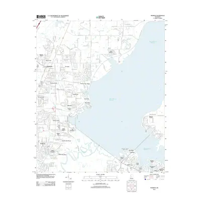
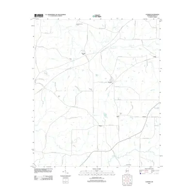
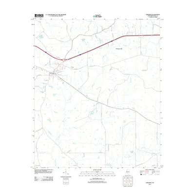
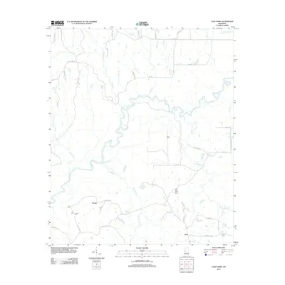
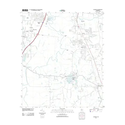
(120)- 2012 Map of Terry NW, 2012 Print
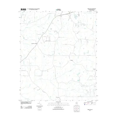 2012 Terry NW2012 Print · USGSCovers Hinds County, including Raymond, Palestine, and other nearby areas
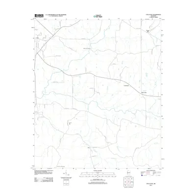
 - 2012 Map of Brownsville, 2012 Print
 2012 Brownsville2012 Print · USGSCovers Hinds County, including Clinton, Orangeville, and other nearby areas
 - 2012 Map of Phoenix, 2012 Print
 2012 Phoenix2012 Print · USGSCovers Hinds County, including Phoenix, Germania, and other nearby areas
 - 2012 Map of Pocahontas, 2012 Print
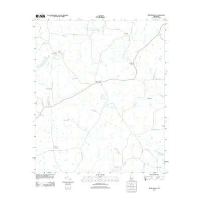
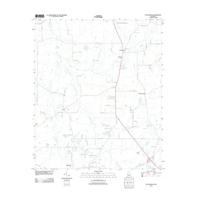 2012 Pocahontas2012 Print · USGSCovers Hinds County, including Jackson, Clinton, and other nearby areas
 - 2012 Map of Madison, 2012 Print
 2012 Madison2012 Print · USGSCovers Hinds County, including Jackson, Madison, and other nearby areas
 - 2012 Map of Cayuga, 2012 Print
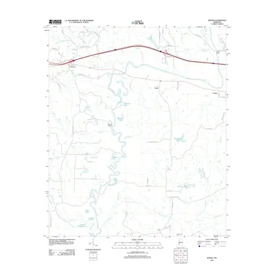
 2012 Cayuga2012 Print · USGSCovers Hinds County, including Reganton, Hubbard, and other nearby areas
 - 2012 Map of Bovina, 2012 Print
 2012 Bovina2012 Print · USGSCovers Hinds County, including Institute, Smiths, and other nearby areas
 - 2012 Map of Raymond, 2012 Print
 2012 Raymond2012 Print · USGSCovers Hinds County, including Clinton, Raymond, and other nearby areas
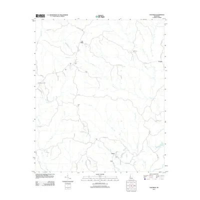
 - 2012 Map of Learned, 2012 Print
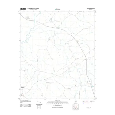
 2012 Learned2012 Print · USGSCovers Hinds County, including Learned, Morning Star, and other nearby areas
 - 2012 Map of Utica West, 2012 Print
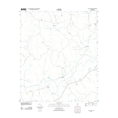 2012 Utica West2012 Print · USGSCovers Hinds County, including Utica, Myles, and other nearby areas
 - 2012 Map of Queens Hill Lake, 2012 Print
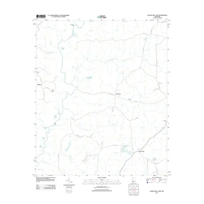 2012 Queens Hill Lake2012 Print · USGSCovers Hinds County, including Lynchburg, Queens Hill, and other nearby areas
 - 2012 Map of Whites, 2012 Print
 2012 Whites2012 Print · USGSCovers Hinds County, including Whites, Clear Branch, and other nearby areas
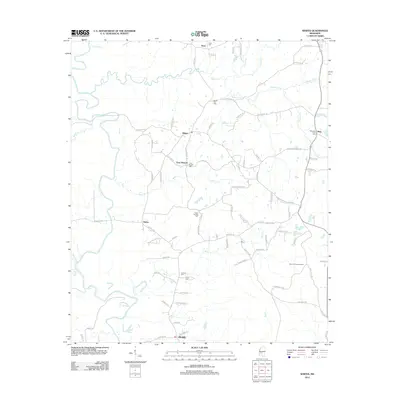
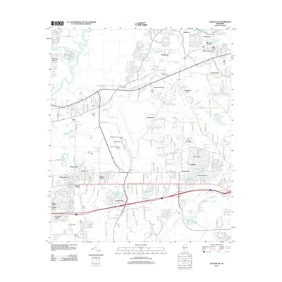
 - 2012 Map of Edwards, 2012 Print
 2012 Edwards2012 Print · USGSCovers Hinds County, including Edwards, Champion Hill, and other nearby areas
 - 2012 Map of Terry, 2012 Print
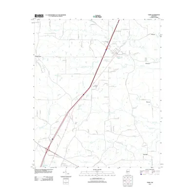 2012 Terry2012 Print · USGSCovers Hinds County, including Crystal Springs, Terry, and other nearby areas
 - 2012 Map of Dabney Crossroads, 2012 Print
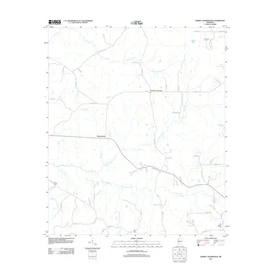 2012 Dabney Crossroads2012 Print · USGSCovers Hinds County, including Dabney Crossroads, Thompsonville, and other nearby areas
 - 2012 Map of Oak Ridge, 2012 Print
 2012 Oak Ridge2012 Print · USGSCovers Hinds County, including Oak Ridge, Flowers, and other nearby areas
 - 2012 Map of Coxs Ferry, 2012 Print
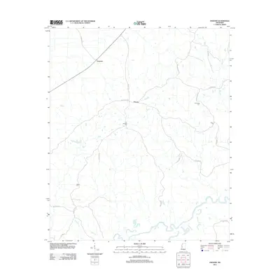
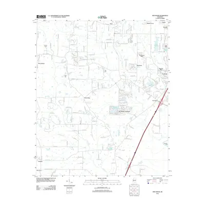
 2012 Coxs Ferry2012 Print · USGSCovers Hinds County, including Nevada, Adelle, and other nearby areas
 - 2012 Map of Utica East, 2012 Print
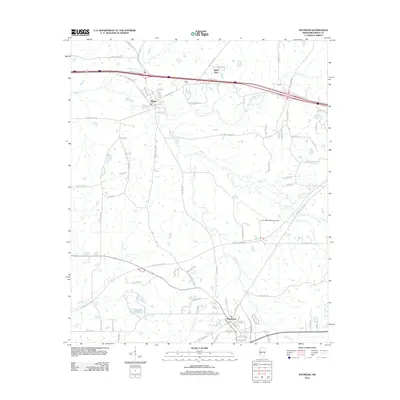
 2012 Utica East2012 Print · USGSCovers Hinds County, including Utica, Bear Creek, and other nearby areas
 - 2012 Map of Ridgeland, 2012 Print
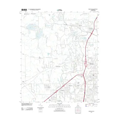 2012 Ridgeland2012 Print · USGSCovers Hinds County, including Jackson, Madison, and other nearby areas
 - 2012 Map of Clinton, 2012 Print
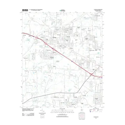 2012 Clinton2012 Print · USGSCovers Hinds County, including Jackson, Clinton, and other nearby areas
 - 2012 Map of Florence, 2012 Print
 2012 Florence2012 Print · USGSCovers Hinds County, including Jackson, Pearl, and other nearby areas
 - 2012 Map of Jackson, 2012 Print
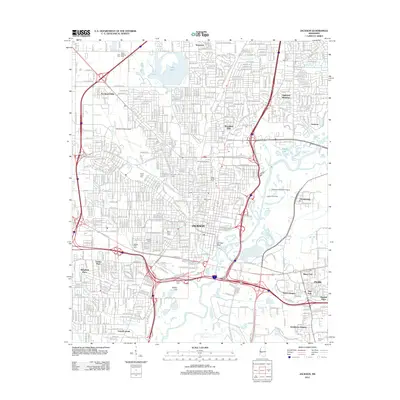 2012 Jackson2012 Print · USGSCovers Hinds County, including Jackson, Pearl, and other nearby areas
 - 2012 Map of New Byram, 2012 Print
 2012 New Byram2012 Print · USGSCovers Hinds County, including Jackson, Byram, and other nearby areas
 - 2012 Map of Jackson SE, 2012 Print
 2012 Jackson SE2012 Print · USGSCovers Hinds County, including Jackson, Pearl, and other nearby areas
 - 2015 Map of Coxs Ferry, 2015 Print
 2015 Coxs Ferry2015 Print · USGSCovers Hinds County, including Nevada, Adelle, and other nearby areas
Showing maps 1-25 of 120
Top cities of Hinds County
- Jackson historical maps
- Clinton historical maps
- Byram historical maps
- Raymond historical maps
- Edwards historical maps
- Terry historical maps
See more
Frequently asked questions
- What are the different types of historical maps available for Hinds County?
- What is the oldest map of Hinds County?
- Where can I purchase historical maps of Hinds County for my home or office?
- Where can I download high-res historical maps of Hinds County?
- Are there historical topographic maps available for Hinds County?
- Is there historical aerial imagery available for Hinds County?
- Where are historical maps of Hinds County sourced from?