2010s Maps of Hinds County, Mississippi
Explore 72 historic maps of Hinds County from the 2010s. These maps offer a rare glimpse into what life looked like during the 2010s — showing old roads, neighborhoods, homes, and landmarks that have changed or disappeared over time.
Whether you're researching your family's past, planning a metal detecting trip, or studying how Hinds County's landscape evolved across the 2010s, these high-resolution maps are a powerful tool for exploring the history of this region.
- Focus on a specific era: All maps on this page are from the 2010s, giving you a focused view of this time period.
- See what’s changed: Compare century-old streets, trails, and buildings to today's modern landscape using overlays and satellite layers.
- Research with precision: Use these maps for genealogy, historical research, land use analysis, or educational projects.
- View, download, or print: Maps are fully viewable online in high resolution, and can be downloaded or printed for your own records.
Start exploring Hinds County's history through authentic maps from the 2010s. This is your window into the past.
Hinds County, MS maps
(72)- 2012 Map of Terry NW, 2012 Print
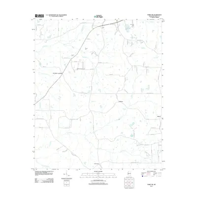 2012 Terry NW2012 Print · USGSHinds County, Mississippi, retains its quiet rural character and local family history in the early twenty-first century. Genealogists and historians can trace family roots through landmarks like Salmon Cemetery and old community hubs such as Palestine and Dry Grove.
 - 2012 Map of Brownsville, 2012 Print
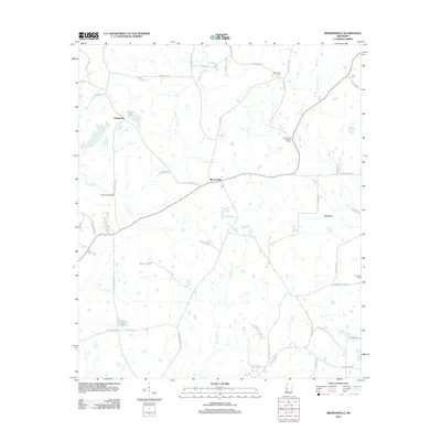 2012 Brownsville2012 Print · USGSHinds County is captured here in the early 2010s, showing a rural landscape of winding creeks and family settlements. Genealogists can trace local roots through Abernathy Cem, the Brownsville Lookout Tower, and family-named routes like Annie Fortner Rd.
 - 2012 Map of Phoenix, 2012 Print
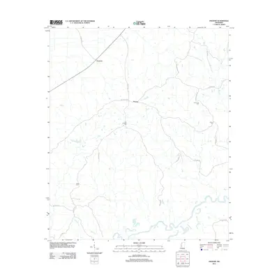 2012 Phoenix2012 Print · USGSSouthern Yazoo County was still defined by its winding waterways and family landholdings in the early 2010s. Local researchers can trace family roots through several documented sites, including Hart Childress Cem and the small settlement of Phoenix.
 - 2012 Map of Pocahontas, 2012 Print
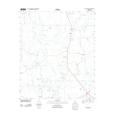 2012 Pocahontas2012 Print · USGSNorthwest of Jackson in the early 2010s, this area shows a rural landscape transitioning through the presence of historic earthworks and small crossroads. Genealogists can locate family sites including Tinnin Cem, Wilson Cem, and the notable Pocahontas Mound.
 - 2012 Map of Madison, 2012 Print
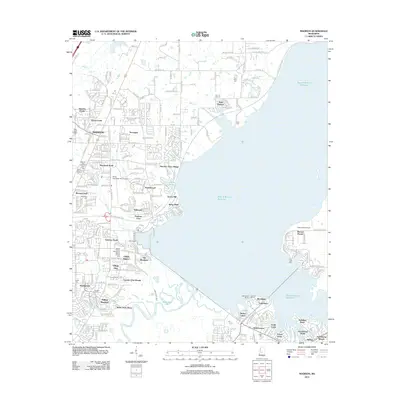 2012 Madison2012 Print · USGSMadison and the banks of the Ross R Barnett Reservoir are captured here during a period of rapid suburban development. Genealogists and local historians can locate numerous burial sites like Jessamine Cem and landmarks such as the Mount Charity Missionary Baptist Church.
 - 2012 Map of Cayuga, 2012 Print
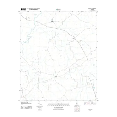 2012 Cayuga2012 Print · USGSThis Mississippi landscape near the Big Black River reflects a deeply-rooted rural community as it appeared in the early 21st century. Genealogists and local historians can locate several family cemeteries, including McElwee Cem and Hutchins Cem, alongside the historic Natchez Trace Pkwy.
 - 2012 Map of Bovina, 2012 Print
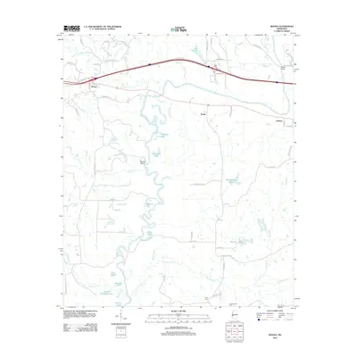 2012 Bovina2012 Print · USGSThe Bovina area in the early twenty-first century is defined by the shifting course of the Big Black River and its rural settlements. Genealogists and researchers can trace local family landmarks and burial sites like Henry Cem, Montgomery Cem, and the historic Askew Bridge.
 - 2012 Map of Raymond, 2012 Print
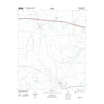 2012 Raymond2012 Print · USGSHinds County in the early twenty-first century reveals a landscape where historic settlements like Bolton and Raymond meet modern infrastructure. Genealogists and historians can trace family-named routes and landmarks from the Bolton Cem to the headwaters of Bakers Cr.
 - 2012 Map of Learned, 2012 Print
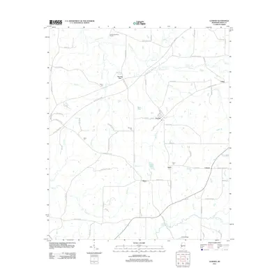 2012 Learned2012 Print · USGSHinds County is documented in the early twenty-first century as a landscape of rural settlements and winding creeks. Genealogists and researchers can trace local roots through several family burial grounds including Auburn Cem and Nalley Cem, or explore the historic crossroads of Learned and Morning Star.
 - 2012 Map of Utica West, 2012 Print
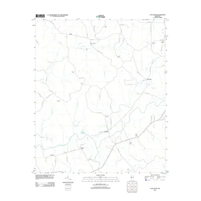 2012 Utica West2012 Print · USGSThe rural landscapes of Hinds County are documented here in the early twenty-first century, showing a region deeply rooted in its family lands. Genealogists can locate numerous burial sites like Ritchey Cem and Griffin Cem alongside small settlements like Myles and Insmore.
 - 2012 Map of Queens Hill Lake, 2012 Print
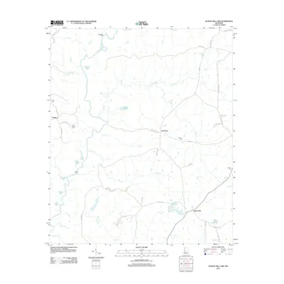 2012 Queens Hill Lake2012 Print · USGSThe Big Black River floodplain in Hinds County is shown here in the early twenty-first century, before recent landscape shifts. Genealogists can locate family sites like Birdsong Cem, Youngton, and the river crossing at Jones Ford.
 - 2012 Map of Whites, 2012 Print
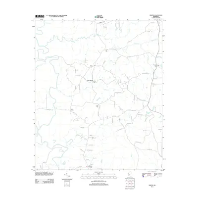 2012 Whites2012 Print · USGSRankin County rural life is preserved here in the early 2010s, showing a landscape defined by the Pearl River and quiet crossroads. Genealogists can trace family connections through numerous sites like Clear Branch Cem, Poplar Springs Cem, and Sinai Cem.
 - 2012 Map of Edwards, 2012 Print
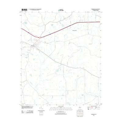 2012 Edwards2012 Print · USGSThe town of Edwards and the historic vicinity of Champion Hill are documented here in the early twenty-first century. Genealogists can trace family connections at Edwards Cem and Friendship Cem or locate rural landmarks like Lake Adanac.
 - 2012 Map of Terry, 2012 Print
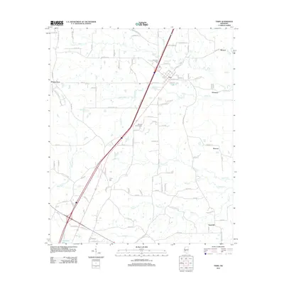 2012 Terry2012 Print · USGSThe town of Terry and its surrounding countryside are captured here in the early twenty-first century as a mix of evolving infrastructure and deep-rooted community landmarks. Researchers can trace family history at the Benevolent Society Cem or locate rural crossroads like Morgans Store and Egypt Hill.
 - 2012 Map of Dabney Crossroads, 2012 Print
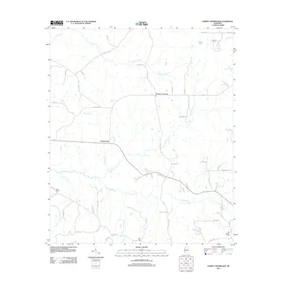 2012 Dabney Crossroads2012 Print · USGSHinds County rural life at the start of the 2010s is defined by its winding creeks and scattered crossroads settlements. Family history researchers can locate several notable burial grounds, including Miller Springs Cemetery and Old Crystal Springs Cemetery.
 - 2012 Map of Oak Ridge, 2012 Print
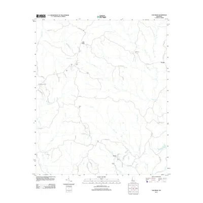 2012 Oak Ridge2012 Print · USGSOak Ridge and its surrounding rural communities are captured here in the early twenty-first century. Genealogists and local historians can trace family-named sites like Brickhouse Cem, Flower Hill Cem, and the Oak Ridge Lookout Tower.
 - 2012 Map of Coxs Ferry, 2012 Print
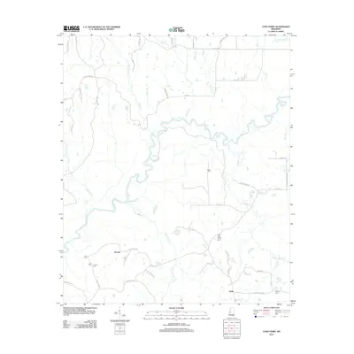 2012 Coxs Ferry2012 Print · USGSHinds County rural life at the start of the 2010s is centered around the winding Big Black River and its many tributaries. Researchers can locate family landmarks and rural crossroads such as Nevada, Coxs Ferry, and the Good Hope Baptist Church Cem.
 - 2012 Map of Utica East, 2012 Print
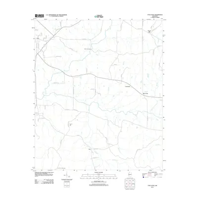 2012 Utica East2012 Print · USGSHinds County near the town of Utica is documented here in the early twenty-first century. Researchers can trace rural landmarks from the Hoodtown Lookout Tower to the Morning Star Cem and crossing points like the Rather Ford Bridge.
 - 2012 Map of Ridgeland, 2012 Print
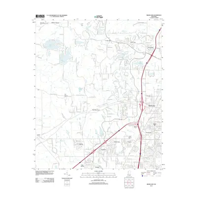 2012 Ridgeland2012 Print · USGSThe northern suburbs of Jackson are shown at a peak of growth in the early 2010s, centering on the city of Ridgeland. Family historians can trace local roots at Rocky Hill Methodist Cem, Missionary Baptist Church Cem, and the community of Tougaloo.
 - 2012 Map of Clinton, 2012 Print
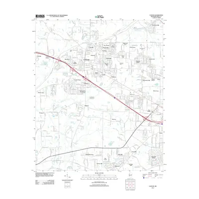 2012 Clinton2012 Print · USGSClinton and the western Jackson suburbs are captured here in the early twenty-first century as the region balanced growth with its deep territorial roots. Local historians can trace established neighborhoods and historic landmarks like Swaffords Spring, Clinton Cem, and the Jackson International Speedway.
 - 2012 Map of Florence, 2012 Print
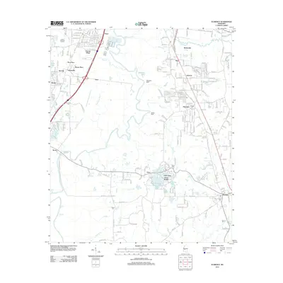 2012 Florence2012 Print · USGSThe Pearl River valley south of Jackson is captured here during a period of modern growth and suburban transition. Researchers can locate several historic burial sites like McGowen Cem and Smith Cem, or trace the waterfronts of Richmond Lake and Lake Mary.
 - 2012 Map of Jackson, 2012 Print
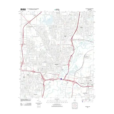 2012 Jackson2012 Print · USGSJackson and its surrounding suburbs are shown in a moment of modern growth along the Pearl River during the early 2010s. Genealogists and local historians can trace burial sites at Greenwood and Beth Israel, or locate old landmarks like Hawkins Field Airport and Bailey Hill.
 - 2012 Map of New Byram, 2012 Print
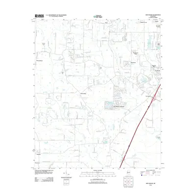 2012 New Byram2012 Print · USGSByram and the rural fringes of Hinds County are documented here in the early twenty-first century as suburban growth spreads south. Researchers can pinpoint Spring Ridge Cem, trace the waters of Wansley Bend, and locate the Raymond Lookout Tower among the wooded creek bottoms.
 - 2012 Map of Jackson SE, 2012 Print
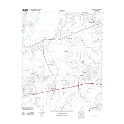 2012 Jackson SE2012 Print · USGSThe suburban landscape southeast of Jackson comes into sharp focus during this era of modern expansion and airport development. Genealogists and local historians can trace the placement of Saint Matthew Ch and several family-named landmarks like Drakes Cem and Flora Hills Cem.
 - 2015 Map of Coxs Ferry, 2015 Print
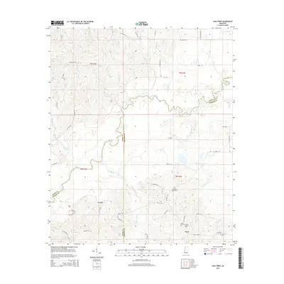 2015 Coxs Ferry2015 Print · USGSCrossing the Hinds and Madison county lines, this area follows the convoluted path of the Big Black River. Genealogists can locate family burial sites such as the Smith Family Cem and trace old rural routes like Cox Ferry Rd near the settlement of Nevada.
Showing maps 1-25 of 72
Top cities of Hinds County
- Jackson historical maps
- Clinton historical maps
- Byram historical maps
- Raymond historical maps
- Edwards historical maps
- Terry historical maps
See more
Frequently asked questions
- What are the different types of historical maps available for Hinds County?
- What is the oldest map of Hinds County?
- Where can I purchase historical maps of Hinds County for my home or office?
- Where can I download high-res historical maps of Hinds County?
- Are there historical topographic maps available for Hinds County?
- Is there historical aerial imagery available for Hinds County?
- Where are historical maps of Hinds County sourced from?