2020s Maps of Hinds County, Mississippi
Explore 48 historic maps of Hinds County from the 2020s. These maps offer a rare glimpse into what life looked like during the 2020s — showing old roads, neighborhoods, homes, and landmarks that have changed or disappeared over time.
Whether you're researching your family's past, planning a metal detecting trip, or studying how Hinds County's landscape evolved across the 2020s, these high-resolution maps are a powerful tool for exploring the history of this region.
- Focus on a specific era: All maps on this page are from the 2020s, giving you a focused view of this time period.
- See what’s changed: Compare century-old streets, trails, and buildings to today's modern landscape using overlays and satellite layers.
- Research with precision: Use these maps for genealogy, historical research, land use analysis, or educational projects.
- View, download, or print: Maps are fully viewable online in high resolution, and can be downloaded or printed for your own records.
Start exploring Hinds County's history through authentic maps from the 2020s. This is your window into the past.
Hinds County, MS maps
(48)- 2020 Map of Edwards, 2020 Print
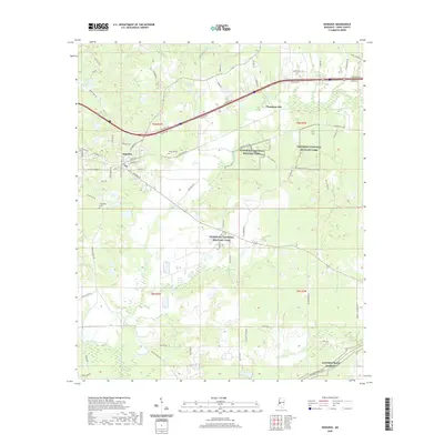 2020 Edwards2020 Print · USGSThe western reaches of Hinds County are shown here in recent years, centered on the strategic high ground of the Civil War. Researchers can trace historical sites like Vicksburg National Military Park and Champion Hill, alongside local landmarks like Edwards Cem and Lake Adanac.
 - 2020 Map of Brownsville, 2020 Print
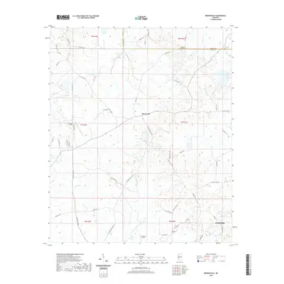 2020 Brownsville2020 Print · USGSHinds and Madison County history comes alive in this 2020 survey of the rural landscape between Brownsville and Clinton. Researchers can trace local heritage through the Abernathy Family Cem, the Cox Creek Bridge, and the small runways of Freebird Airport.
 - 2020 Map of Pocahontas, 2020 Print
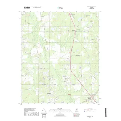 2020 Pocahontas2020 Print · USGSNorthwest of the state capital in the early 2020s, this area shows the transition from rural Hinds County to the growing suburbs of Clinton. Researchers can trace family history through local sites like Pocahontas Cem, Tinnin, and the Natchez Trace Parkway.
 - 2020 Map of Utica East, 2020 Print
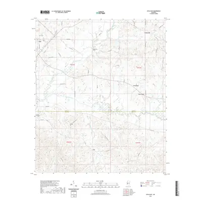 2020 Utica East2020 Print · USGSThe Hinds and Copiah county line comes alive in this contemporary survey of the rural landscape south of Jackson. Genealogists and locals can trace the grounds of Hinds Community College, the Morning Star Cem, and old crossings like Rather Ford Bridge.
 - 2020 Map of Coxs Ferry, 2020 Print
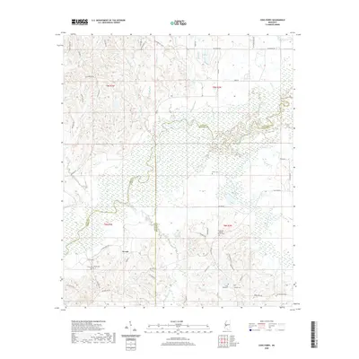 2020 Coxs Ferry2020 Print · USGSThe rural borders of Yazoo, Hinds, and Madison Counties come into focus in 2020 as the Big Black River snakes through the landscape. Genealogists can locate several family burial sites, including the Smith Family Cem and Good Hope Baptist Church Cem.
 - 2020 Map of Clinton, 2020 Print
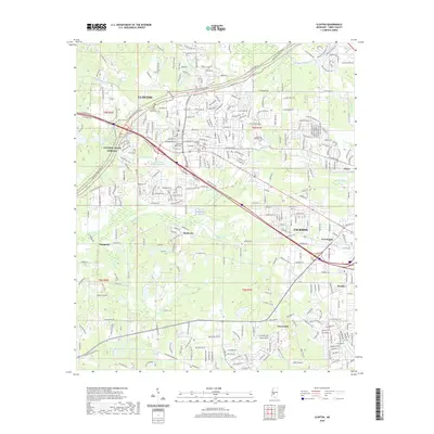 2020 Clinton2020 Print · USGSClinton and the western edge of Jackson are captured here in the contemporary era, showcasing the intersection of historical education and modern growth. Genealogists and local historians can trace legacy sites like Mississippi College, Cedar Grove Cem, and the Cowles Meade Cem.
 - 2020 Map of Jackson SE, 2020 Print
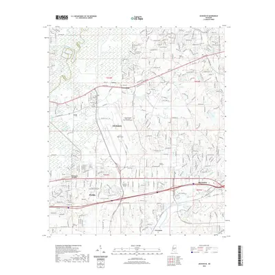 2020 Jackson SE2020 Print · USGSThe Rankin County suburbs east of the state capital are shown in detail during the early 2020s. Researchers can trace local development around the Jackson-Medgar Wiley Evers International Airport and find local landmarks like Mount Olive Cem and Bald Prairie.
 - 2020 Map of Queens Hill Lake, 2020 Print
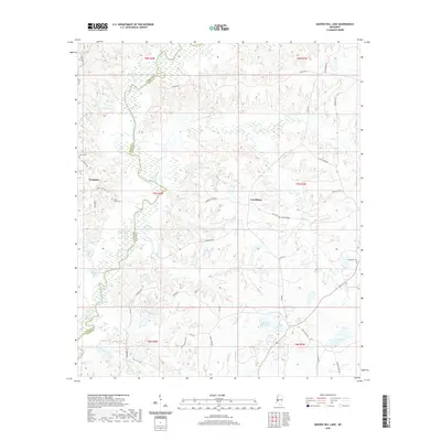 2020 Queens Hill Lake2020 Print · USGSThe rural landscapes of Hinds and Warren counties are captured here in the contemporary era, centered on the riverine bottomlands of the Big Black River. Researchers can locate family burial sites like Birdsong Cem and trace the namesake Queens Hill Lake.
 - 2020 Map of Bovina, 2020 Print
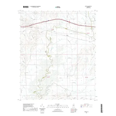 2020 Bovina2020 Print · USGSThe Warren and Hinds county line follows the serpentine Big Black River in this modern survey of the Mississippi interior. Researchers can trace the river's historic oxbows at Tomcat Island and Old River Lake, or locate family sites like Henry Cem and the settlement of Bovina.
 - 2020 Map of Terry, 2020 Print
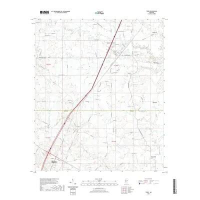 2020 Terry2020 Print · USGSThe Hinds and Copiah County line comes alive in this contemporary survey of the corridor between Terry and Crystal Springs. Genealogists can locate family sites at the Benevolent Society Cem and trace rural life near Morgans Store.
 - 2020 Map of Raymond, 2020 Print
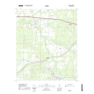 2020 Raymond2020 Print · USGSHinds County in the early twenty-first century maintains its blend of educational institutions and rural crossroads. Researchers can trace local landmarks like the Hinds County Courthouse Annex, the Hinds Community College Raymond Campus, and the Bolton Cem.
 - 2020 Map of Jackson, 2020 Print
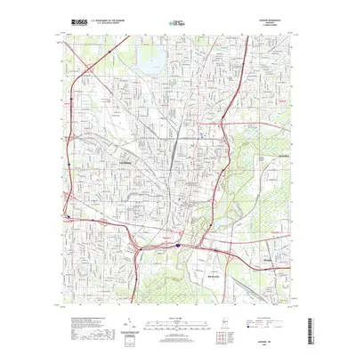 2020 Jackson2020 Print · USGSJackson and its surrounding riverfront communities are captured here in the early twenty-first century as the city center meets the Pearl River. Researchers can trace historic cemeteries such as Cedar Lawn Cem and landmarks like Hawkins Field or Millsaps College.
 - 2020 Map of Cayuga, 2020 Print
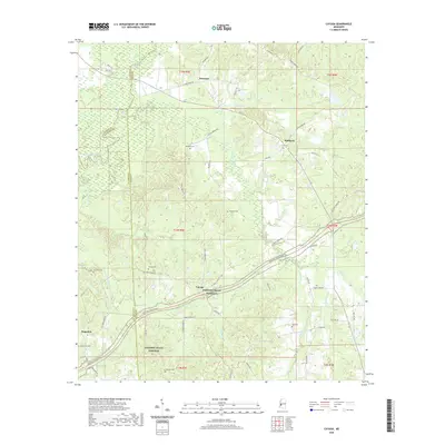 2020 Cayuga2020 Print · USGSThe rural borderlands where Hinds, Warren, and Claiborne Counties converge are captured here in the contemporary era. Genealogists and historians can locate numerous family burial sites such as Cook Cem and Turner Cem along the historic Old Port Gibson Rd.
 - 2020 Map of New Byram, 2020 Print
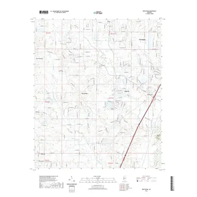 2020 New Byram2020 Print · USGSHinds County near Jackson shows a mix of suburban growth and rural heritage in the early 2020s. Researchers can locate family landmarks like Big Creek Cem and Spring Ridge Cem or trace the drainage of Eleven Mile Cr near Byram.
 - 2020 Map of Learned, 2020 Print
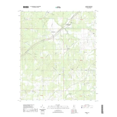 2020 Learned2020 Print · USGSHinds County's rural communities and historic routes are captured here in the early twenty-first century. Genealogists and local historians can trace family locations near Auburn Cem, the settlement of Learned, and the path of the Natchez Trace Pkwy.
 - 2020 Map of Terry NW, 2020 Print
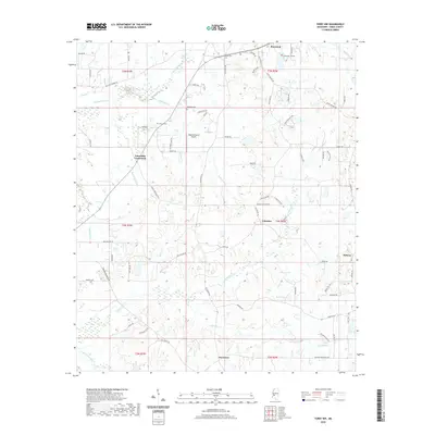 2020 Terry NW2020 Print · USGSHinds County south of Raymond is captured here in the early twenty-first century, showing a rural landscape of winding creeks and family settlements. You can trace ancestral connections at Salmon Cem or locate the historic crossings of Fairchilds Crossroads and Palestine.
 - 2020 Map of Utica West, 2020 Print
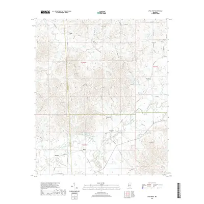 2020 Utica West2020 Print · USGSThe rural borderlands of Hinds, Copiah, and Claiborne counties are documented here in the early twenty-first century. Researchers can trace family history through numerous small burial grounds like Seven Star Cem and settlements such as Reedtown and Myles.
 - 2020 Map of Madison, 2020 Print
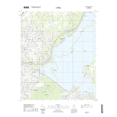 2020 Madison2020 Print · USGSMadison and Ridgeland are shown here as they appeared recently, situated where the Natchez Trace meets the Pearl River. Genealogists and local historians can trace numerous sites like Old Christian Union Cem, Barnes Prairie, and Bruce Campbell Field.
 - 2020 Map of Phoenix, 2020 Print
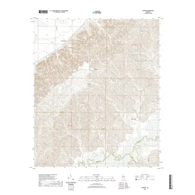 2020 Phoenix2020 Print · USGSThe rural communities of central Mississippi are documented here during the early twenty-first century, showing the area as it straddles three counties. Researchers can trace local family lineages through sites like Hart Childress Cem and the settlement at Phoenix.
 - 2020 Map of Whites, 2020 Print
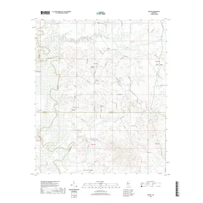 2020 Whites2020 Print · USGSCentral Mississippi rural life in the modern era is defined here by the meeting of four counties and the networks of the Pearl River. Researchers can trace local lineage through numerous grounds such as Poplar Springs Cem, Clear Branch Cem, and the settlement of Whites.
 - 2020 Map of Florence, 2020 Print
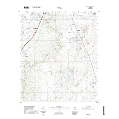 2020 Florence2020 Print · USGSThe suburbs south of Jackson were rapidly expanding into the Pearl River bottomlands at the start of the 2020s. Genealogists and local historians can trace family plots at Richland Cem or Florence Cem and locate landmarks like Stewarts Bluff and Wansley Bend.
 - 2020 Map of Oak Ridge, 2020 Print
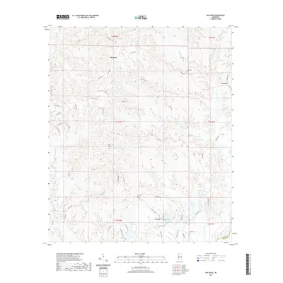 2020 Oak Ridge2020 Print · USGSOak Ridge and the rural Warren County uplands are captured here in a period of modern stability, highlighting the deep-rooted family history of the region. Researchers can trace ancestral locations through numerous burial grounds like Oakland Cem and Flower Hill Cem or locate the small crossroads at Rawhide and Flowers.
 - 2020 Map of Ridgeland, 2020 Print
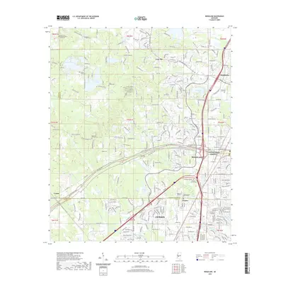 2020 Ridgeland2020 Print · USGSThe northern periphery of Mississippi's capital comes into focus in this recent survey, where the borders of Madison and Hinds counties meet. Local historians can trace the grounds of Tougaloo College and locate family burial sites like Mount Olive Cem and Rosa Scott School Cem.
 - 2020 Map of Dabney Crossroads, 2020 Print
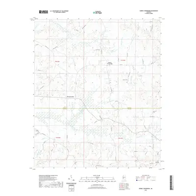 2020 Dabney Crossroads2020 Print · USGSDabney Crossroads and the Hinds-Copiah county line appear in this recent survey of central Mississippi's wooded creek valleys. Genealogists can locate family landmarks like Miller Springs Cem, Thompsonville, and the Old Crystal Springs Cem.
 - 2024 Map of Utica West, 2024 Print
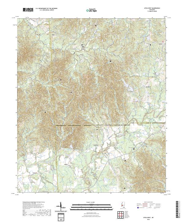 2024 Utica West2024 Print · USGSHinds County and the surrounding tri-county borders are captured here in the early twenty-first century as rural life persists among the creek basins. Genealogists can trace family roots at McClellan Cem or Seven Star Cem and locate homes near Utica and Reedtown.
Showing maps 1-25 of 48
Top cities of Hinds County
- Jackson historical maps
- Clinton historical maps
- Byram historical maps
- Raymond historical maps
- Edwards historical maps
- Terry historical maps
See more
Frequently asked questions
- What are the different types of historical maps available for Hinds County?
- What is the oldest map of Hinds County?
- Where can I purchase historical maps of Hinds County for my home or office?
- Where can I download high-res historical maps of Hinds County?
- Are there historical topographic maps available for Hinds County?
- Is there historical aerial imagery available for Hinds County?
- Where are historical maps of Hinds County sourced from?