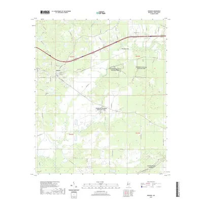
2020 Map of Edwards
USGS Topo · Published 2020About this map
Edwards sits at the intersection of a complex road and creek network in western Hinds County, where the landscape is deeply intertwined with Civil War history. The map highlights significant portions of the Vicksburg National Military Park concentrated around the site of Champion Hill, reflecting the terrain's strategic importance during the Vicksburg Campaign. The southern reaches of the quadrangle are bounded by the Natchez Trace Parkway, which follows the historic wilderness trail. Local history is preserved in the locations of Edwards Cem and Friendship Cem, while the winding courses of Fourteenmile Creek and Bakers Cr dictate the rural layout. Notable local infrastructure, such as Askew Ferry Rd and Military Rd, points to the older transportation routes that served the community before modern highways bridged these waters.
Find a feature on this map
72 named features on this map. Tap any name to fly to it.
Don’t see what you’re looking for? This feature index may not catch every label — zoom into the map to look around manually.
Map Details
Editions of this 2020 Edwards Map
This is the sole edition of this map. No revisions or reprints were ever made.
Other maps of this area

1903 · Jackson
USGS Topo · 1:125,000

1934 · Raymond
USGS Topo · 1:48,000

1937 · Raymond
USGS Topo · 1:62,500

1937 · Terry
USGS Topo · 1:48,000

1938 · Edwards
USGS Topo · 1:62,500

1942 · Raymond
USGS Topo · 1:62,500

1943 · Terry
USGS Topo · 1:62,500

1955 · Jackson
USGS Topo · 1:250,000

1961 · Jackson
USGS Topo · 1:250,000

1962 · Jackson
USGS Topo · 1:250,000