2000s (21st Century) Maps of Humphreys County, Mississippi
Explore 76 historic maps of Humphreys County from the 2000s (21st Century). These maps offer a rare glimpse into what life looked like during the 2000s — showing old roads, neighborhoods, homes, and landmarks that have changed or disappeared over time.
Whether you're researching your family's past, planning a metal detecting trip, or studying how Humphreys County's landscape evolved across the 2000s, these high-resolution maps are a powerful tool for exploring the history of this region.
- Focus on a specific era: All maps on this page are from the 2000s, giving you a focused view of this time period.
- See what’s changed: Compare century-old streets, trails, and buildings to today's modern landscape using overlays and satellite layers.
- Research with precision: Use these maps for genealogy, historical research, land use analysis, or educational projects.
- View, download, or print: Maps are fully viewable online in high resolution, and can be downloaded or printed for your own records.
Start exploring Humphreys County's history through authentic maps from the 2000s. This is your window into the past.
Humphreys County, MS maps
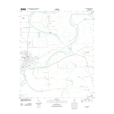
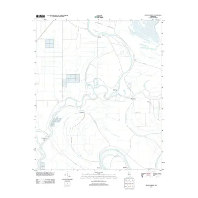
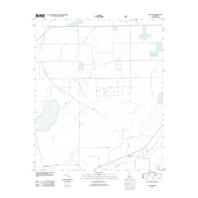
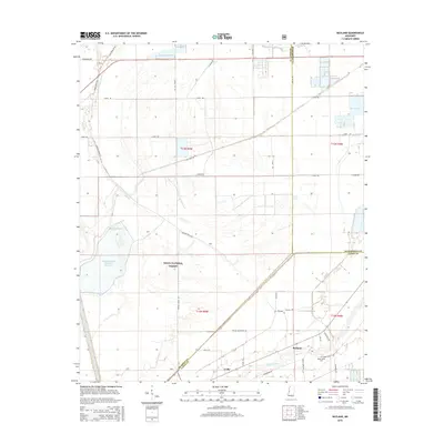
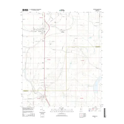
(76)- 2000 Map of Bayland, 2002 Print
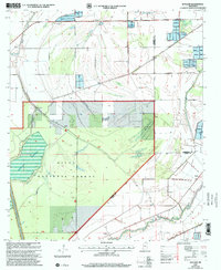 2000 Bayland2002 Print · USGSSharkey and Yazoo counties at the turn of the century show a landscape shaped by water management and the Delta National Forest. Genealogists and historians can trace old settlements like Bayland and Patosi or locate the Cem near Silver Creek.
 - 2012 Map of Kinlock, 2012 Print
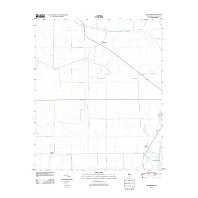
 2012 Kinlock2012 Print · USGSCovers Humphreys County, including Floyd, Kinlock, and other nearby areas
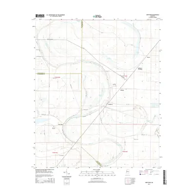
 - 2012 Map of Swiftown, 2012 Print
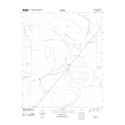 2012 Swiftown2012 Print · USGSCovers Humphreys County, including Swiftown, Peteet, and other nearby areas
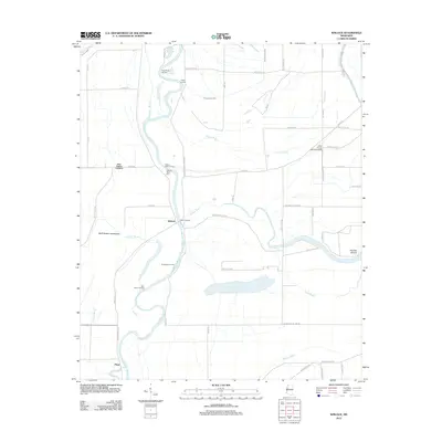
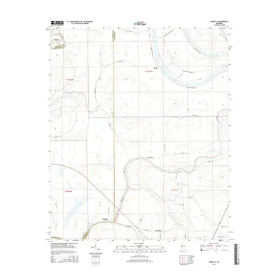
 - 2012 Map of Marcella, 2012 Print
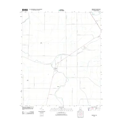
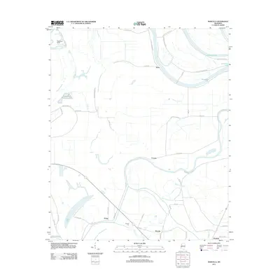 2012 Marcella2012 Print · USGSCovers Humphreys County, including Marcella, Refuge, and other nearby areas
 - 2012 Map of Midnight, 2012 Print
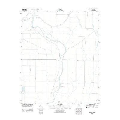
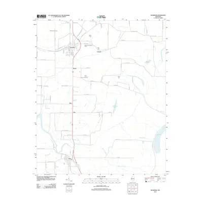
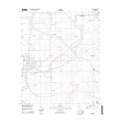
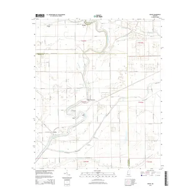
 2012 Midnight2012 Print · USGSCovers Humphreys County, including Silver City, Midnight, and other nearby areas
 - 2012 Map of Midnight NW, 2012 Print
 2012 Midnight NW2012 Print · USGSCovers Humphreys County, including Washington County, United States, and other nearby areas
 - 2012 Map of Richey, 2012 Print
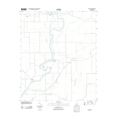 2012 Richey2012 Print · USGSCovers Humphreys County, including Murphy, Bommers, and other nearby areas
 - 2012 Map of Belzoni, 2012 Print
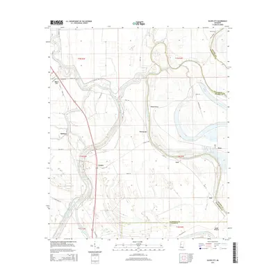
 2012 Belzoni2012 Print · USGSCovers Humphreys County, including Belzoni, Famosla, and other nearby areas
 - 2012 Map of Montgomery, 2012 Print
 2012 Montgomery2012 Print · USGSCovers Humphreys County, including Morgan City, Montgomery, and other nearby areas
 - 2012 Map of Bayland, 2012 Print
 2012 Bayland2012 Print · USGSCovers Humphreys County, including Bayland, Colby, and other nearby areas
 - 2012 Map of Thornton, 2012 Print
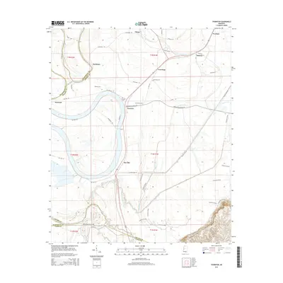
 2012 Thornton2012 Print · USGSCovers Humphreys County, including Mileston, Thornton, and other nearby areas
 - 2012 Map of Silver City, 2012 Print
 2012 Silver City2012 Print · USGSCovers Humphreys County, including Silver City, Pluto, and other nearby areas
 - 2012 Map of Inverness, 2012 Print
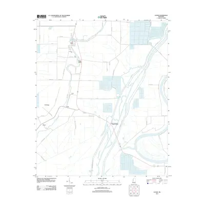
 2012 Inverness2012 Print · USGSCovers Humphreys County, including Inverness, Isola, and other nearby areas
 - 2012 Map of Bellewood, 2012 Print
 2012 Bellewood2012 Print · USGSCovers Humphreys County, including Castleman, Bellewood, and other nearby areas
 - 2012 Map of Louise, 2012 Print
 2012 Louise2012 Print · USGSCovers Humphreys County, including Louise, Patosi, and other nearby areas
 - 2012 Map of Carter, 2012 Print
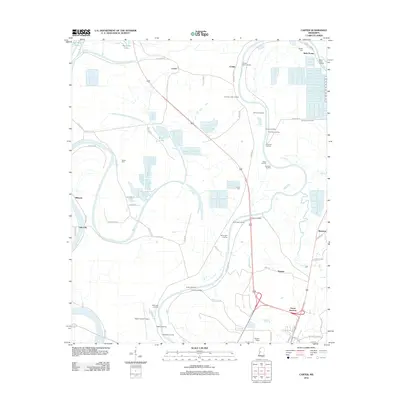 2012 Carter2012 Print · USGSCovers Humphreys County, including Yazoo City, Carter, and other nearby areas
 - 2015 Map of Bayland, 2015 Print
 2015 Bayland2015 Print · USGSCovers Humphreys County, including Bayland, Colby, and other nearby areas
 - 2015 Map of Carter, 2015 Print
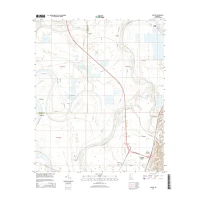 2015 Carter2015 Print · USGSCovers Humphreys County, including Yazoo City, Carter, and other nearby areas
 - 2015 Map of Silver City, 2015 Print
 2015 Silver City2015 Print · USGSCovers Humphreys County, including Silver City, Pluto, and other nearby areas
 - 2015 Map of Belzoni, 2015 Print
 2015 Belzoni2015 Print · USGSCovers Humphreys County, including Belzoni, Famosla, and other nearby areas
 - 2015 Map of Inverness, 2015 Print
 2015 Inverness2015 Print · USGSCovers Humphreys County, including Inverness, Isola, and other nearby areas
 - 2015 Map of Marcella, 2015 Print
 2015 Marcella2015 Print · USGSCovers Humphreys County, including Marcella, Refuge, and other nearby areas
 - 2015 Map of Richey, 2015 Print
 2015 Richey2015 Print · USGSCovers Humphreys County, including Murphy, Bommers, and other nearby areas
 - 2015 Map of Swiftown, 2015 Print
 2015 Swiftown2015 Print · USGSCovers Humphreys County, including Swiftown, Peteet, and other nearby areas
 - 2015 Map of Thornton, 2015 Print
 2015 Thornton2015 Print · USGSCovers Humphreys County, including Mileston, Thornton, and other nearby areas
Showing maps 1-25 of 76
Top cities of Humphreys County
Frequently asked questions
- What are the different types of historical maps available for Humphreys County?
- What is the oldest map of Humphreys County?
- Where can I purchase historical maps of Humphreys County for my home or office?
- Where can I download high-res historical maps of Humphreys County?
- Are there historical topographic maps available for Humphreys County?
- Is there historical aerial imagery available for Humphreys County?
- Where are historical maps of Humphreys County sourced from?