2020s Maps of Humphreys County, Mississippi
Explore 30 historic maps of Humphreys County from the 2020s. These maps offer a rare glimpse into what life looked like during the 2020s — showing old roads, neighborhoods, homes, and landmarks that have changed or disappeared over time.
Whether you're researching your family's past, planning a metal detecting trip, or studying how Humphreys County's landscape evolved across the 2020s, these high-resolution maps are a powerful tool for exploring the history of this region.
- Focus on a specific era: All maps on this page are from the 2020s, giving you a focused view of this time period.
- See what’s changed: Compare century-old streets, trails, and buildings to today's modern landscape using overlays and satellite layers.
- Research with precision: Use these maps for genealogy, historical research, land use analysis, or educational projects.
- View, download, or print: Maps are fully viewable online in high resolution, and can be downloaded or printed for your own records.
Start exploring Humphreys County's history through authentic maps from the 2020s. This is your window into the past.
Humphreys County, MS maps
(30)- 2020 Map of Carter, 2020 Print
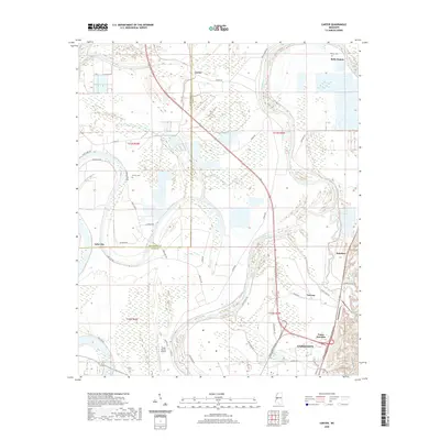 2020 Carter2020 Print · USGSThe Yazoo Delta at the start of the 2020s remains a landscape shaped by its winding river and fertile plains. Researchers can locate family landmarks like Phillips Cem, the small settlement of Belle Prairie, and the aviation hub at Yazoo County Airport.
 - 2020 Map of Louise, 2020 Print
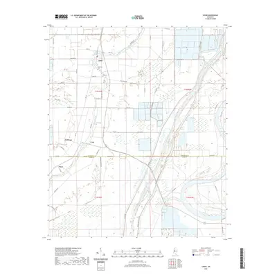 2020 Louise2020 Print · USGSThe Humphreys and Yazoo County line comes alive in this survey of the Mississippi Delta's agricultural heartland. Researchers can locate family landmarks like Huddleston Cem and Goshen Cem or trace the engineering of the Will M Whittington Auxiliary Channel.
 - 2020 Map of Inverness, 2020 Print
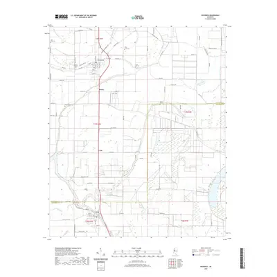 2020 Inverness2020 Print · USGSThe heart of the Mississippi Delta is captured here as it appeared in 2020, centered on the community of Inverness. Local historians can trace family ties at Hickory Grove Cem or follow the natural drainage of Mound Bayou and the shores of Sky Lake.
 - 2020 Map of Midnight, 2020 Print
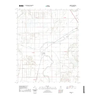 2020 Midnight2020 Print · USGSThe Humphreys County Delta comes alive in this modern survey of Silver City and Midnight. Genealogists and historians can trace family ties at Bellewood and Bellewood Cem or explore the uniquely named Blue Ruin Rd.
 - 2020 Map of Bellewood, 2020 Print
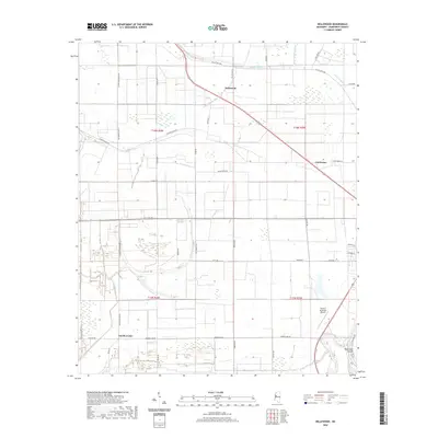 2020 Bellewood2020 Print · USGSThe Humphreys County Delta is shown in this 2020 survey, revealing a landscape of agricultural fields and complex bayous. Genealogists and researchers can trace the roads and waterways surrounding Bellewood, Castleman, and the Yazoo River at the Hard Cash Cutoff.
 - 2020 Map of Midnight NW, 2020 Print
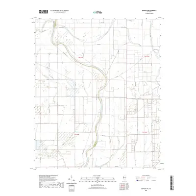 2020 Midnight NW2020 Print · USGSThe Mississippi Delta's intricate river systems and rural road networks are revealed in this recent survey. Genealogists and local historians can trace family land along the Big Sunflower River and navigate the reaches of Bogue Phalia or Beasley Bayou.
 - 2020 Map of Silver City, 2020 Print
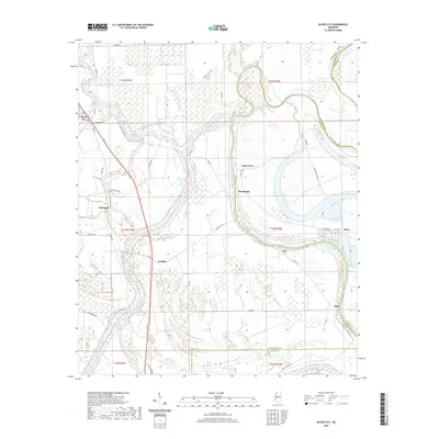 2020 Silver City2020 Print · USGSThe Humphreys County delta lands appear in recent detail, dominated by the winding Yazoo River and its massive flood-control channels. Researchers can trace family roots through the sites of Silver City, Lamkin, and Pluto, or locate rural burials at Pluto Cem.
 - 2020 Map of Marcella, 2020 Print
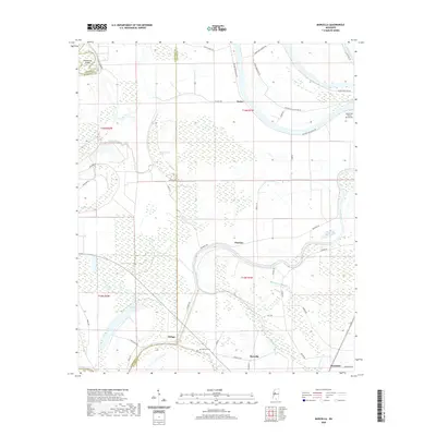 2020 Marcella2020 Print · USGSThe Mississippi Delta's winding waterways and rural crossroads are captured here during a period of modern agricultural life. Researchers can trace family history through small settlements like Marcella and Choctaw or locate landmarks such as the Marcella Cem and Eagle Lake.
 - 2020 Map of Belzoni, 2020 Print
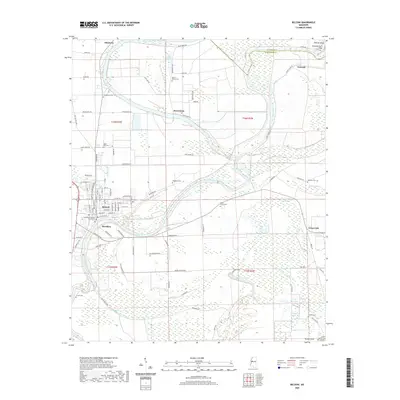 2020 Belzoni2020 Print · USGSBelzoni and the surrounding Humphreys County landscape are captured here in the Mississippi Delta during the early 2020s. Researchers can locate numerous historic burial sites such as Woodland Cem and Holly Grove Cem, or trace the winding course of the Yazoo River past Jaketown and Brooklyn.
 - 2020 Map of Kinlock, 2020 Print
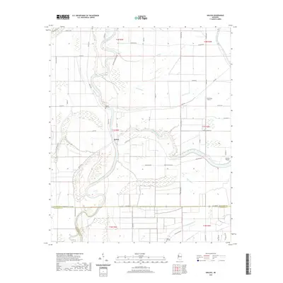 2020 Kinlock2020 Print · USGSThe Mississippi Delta's intricate river-and-bayou landscape is captured here in the contemporary era at the meeting of three counties. Researchers can trace land tracts near Kinlock, locate burial sites at Hickory Bluff Cemetery, and identify the Prentiss Mound earthwork.
 - 2020 Map of Montgomery, 2020 Print
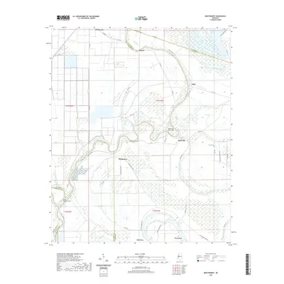 2020 Montgomery2020 Print · USGSThe Mississippi Delta's alluvial landscape comes into focus during the early twenty-first century as the Yazoo River winds past Morgan City. Researchers can trace old family sites and road networks near the Lennard Cem or follow the water's edge at Tchula Lake and Eagle Brake.
 - 2020 Map of Thornton, 2020 Print
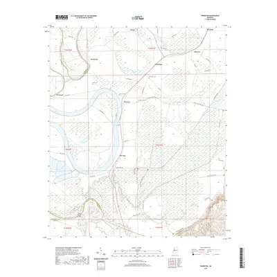 2020 Thornton2020 Print · USGSThe Mississippi Delta's intricate water network is on full display in this modern survey of the Holmes County lowlands. Researchers can trace rural cemeteries and local landmarks like Thornton Cem, the community of Mileston, and the winding Bee Lake shoreline.
 - 2020 Map of Swiftown, 2020 Print
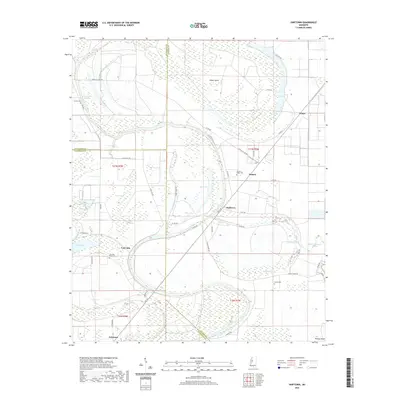 2020 Swiftown2020 Print · USGSThe Yazoo-Mississippi Delta around Swiftown is showcased in this modern survey of the agricultural heartland. Genealogists and historians can locate rural communities like Jaketown and landmarks such as Sky Lake Bend Cem or Bee Lake.
 - 2020 Map of Richey, 2020 Print
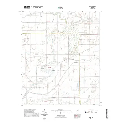 2020 Richey2020 Print · USGSThe Mississippi Delta's river-driven landscape is captured here in 2020, where the Big Sunflower River snakes through the tri-county border. Genealogists and local historians can trace the rural settlements of Murphy and Richey alongside numerous named waterways like Murphy Bayou and Straight Bayou.
 - 2021 Map of Bayland, 2021 Print
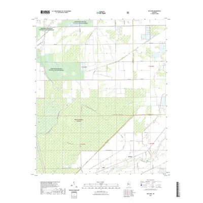 2021 Bayland2021 Print · USGSThe Yazoo County delta country comes into focus here in the early 2020s, showing a landscape defined by massive wildlife refuges and bottomland forests. Researchers can trace family sites near Bayland, find the Valley Home Cem, and navigate the network of trails like the Joe-Blount Trail.
 - 2024 Map of Midnight, 2024 Print
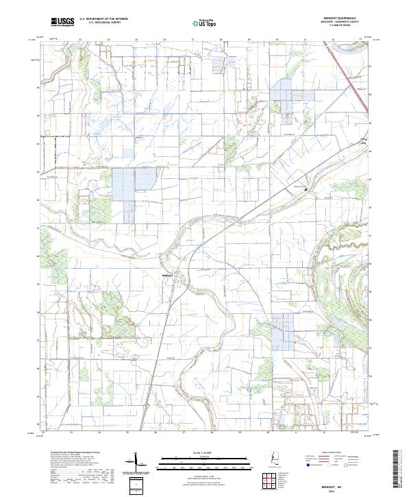 2024 Midnight2024 Print · USGSHumphreys County at the start of the 2020s shows a Delta landscape defined by its bayous and wildlife conservation efforts. Researchers can trace local history through family-named routes and landmarks like Bellewood Cem, the settlement of Midnight, and the Theodore Roosevelt National Wildlife Refuge.
 - 2024 Map of Bellewood, 2024 Print
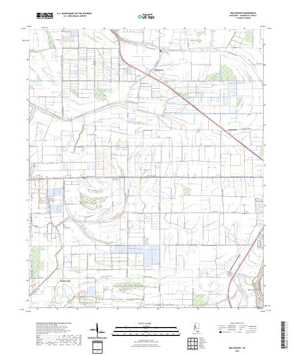 2024 Bellewood2024 Print · USGSThe Humphreys County delta country appears in this recent survey, showing the complex network of waterways between Bellewood and Castleman. Researchers can trace old family connections at Bellewood Cem or explore the reach of the Yazoo River and Gooden Lake.
 - 2024 Map of Midnight NW, 2024 Print
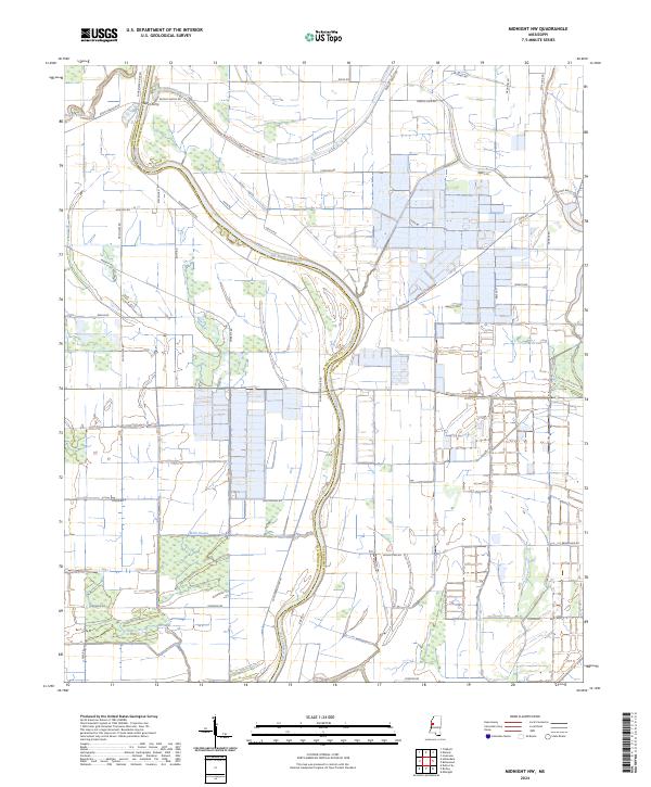 2024 Midnight NW2024 Print · USGSThe Mississippi Delta's alluvial landscape comes to life in this contemporary survey of the Humphreys and Washington County line. Researchers can trace the winding course of the Big Sunflower River and explore the historic Holt Collier National Wildlife Refuge.
 - 2024 Map of Inverness, 2024 Print
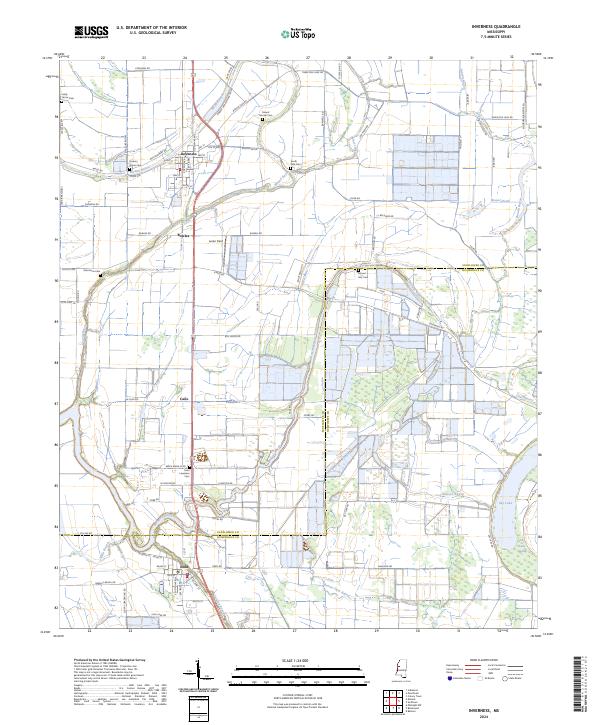 2024 Inverness2024 Print · USGSThe Mississippi Delta town of Inverness is shown here in the 2020s, surrounded by a complex network of bayous and generational family land. Researchers can trace the layout of Isola or locate local burial grounds including Hickory Grove Cem and Oak Grove Cem.
 - 2024 Map of Marcella, 2024 Print
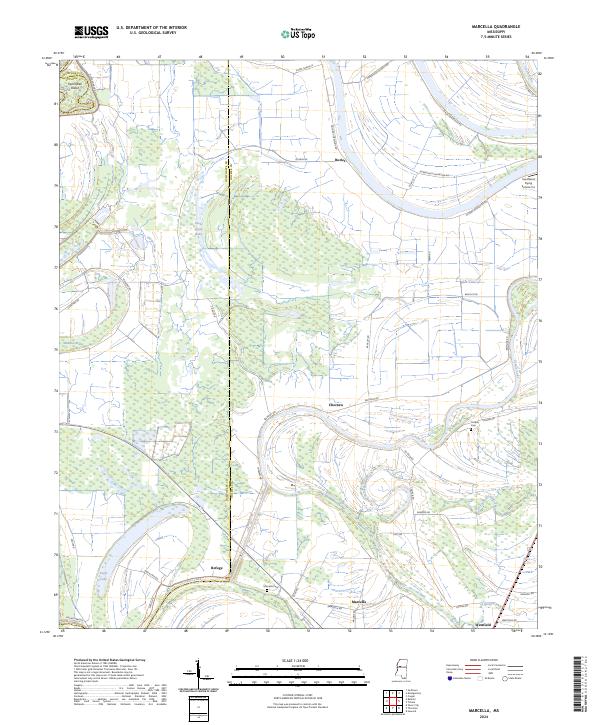 2024 Marcella2024 Print · USGSHolmes County settlements and Delta wetlands are captured in this recent survey of the Mississippi interior. Genealogists and historians can trace family locations through Marcella Cem and Cooper Cem, or locate rural outposts like Refuge and Choctaw.
 - 2024 Map of Swiftown, 2024 Print
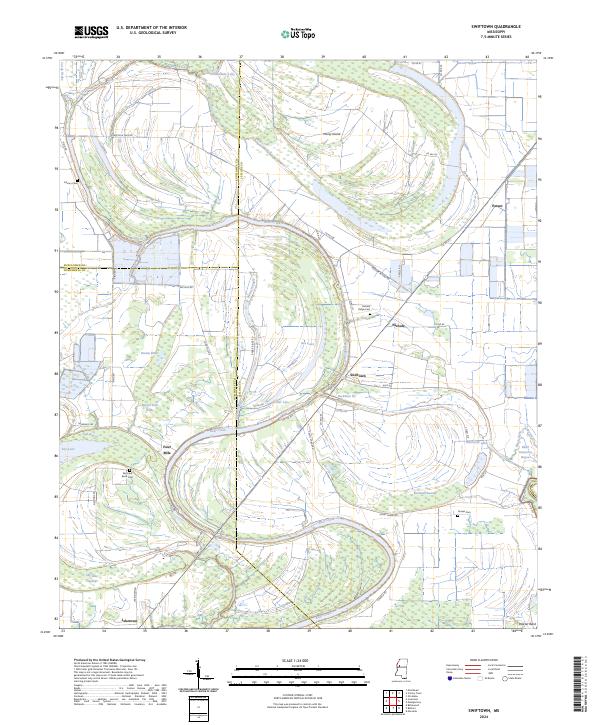 2024 Swiftown2024 Print · USGSThe Mississippi Delta's intricate water network is on full display here in the 2020s, where winding bayous and cypress brakes define the rural landscape. Researchers can trace local history through sites like Swiftown, Jaketown, and family-named landmarks like Graves Cem and Peteet.
 - 2024 Map of Belzoni, 2024 Print
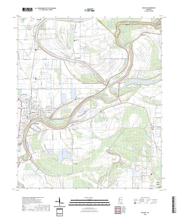 2024 Belzoni2024 Print · USGSHumphreys County and the Yazoo River delta are documented here in the early twenty-first century, showing the evolved settlement patterns of the Mississippi floodplain. Genealogists can locate several family-named landmarks and burial grounds, including Deovolente Cem, Holly Grove Cem, and Fullilove Cem.
 - 2024 Map of Richey, 2024 Print
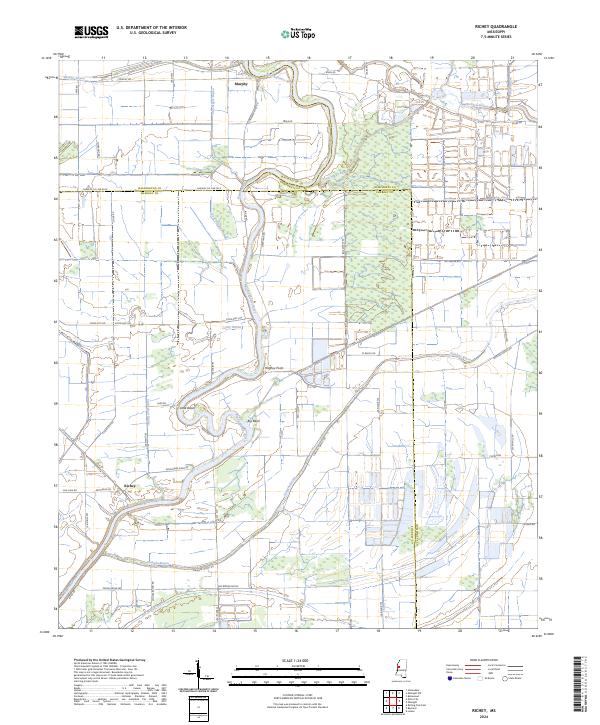 2024 Richey2024 Print · USGSThe Yazoo Basin of western Mississippi remains a landscape of intricate waterways and conservation lands in the modern era. Genealogists and local historians can trace the paths of Big Sunflower River, the settlement at Richey, and the Free Negro Bayou wetlands.
 - 2024 Map of Kinlock, 2024 Print
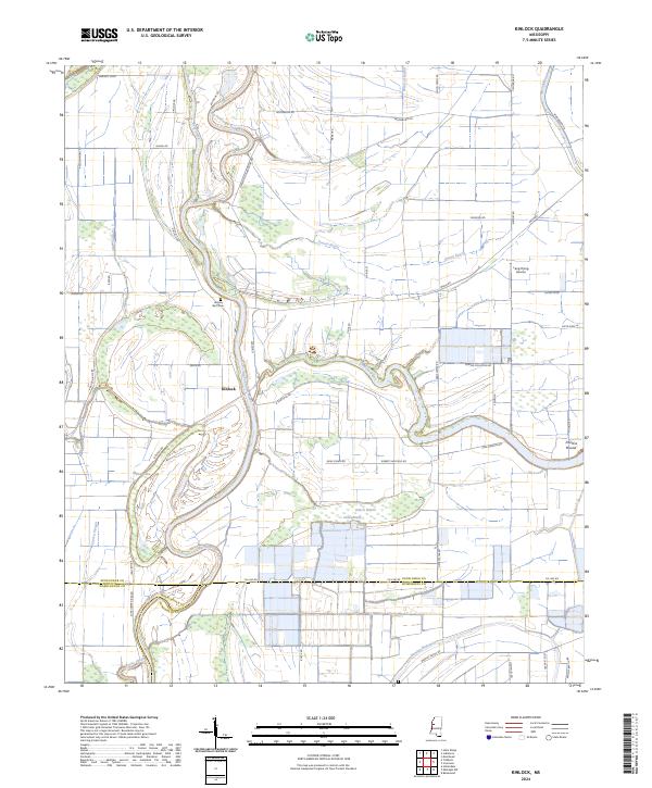 2024 Kinlock2024 Print · USGSThe Sunflower River Delta in the 2020s remains a landscape defined by its winding waterways and deep agricultural roots. Researchers can trace family sites at Hickory Bluff Cem, find the Prentiss Mound, and follow the complex hydrology of Dutch Brake and Wildcat Bayou.
 - 2024 Map of Carter, 2024 Print
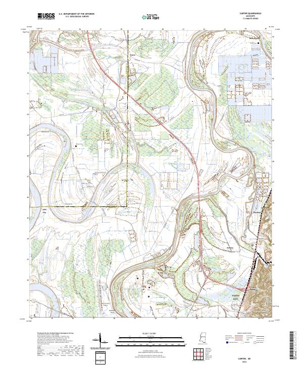 2024 Carter2024 Print · USGSThe Yazoo River bottomlands and Delta plains are documented here in the early twenty-first century. Researchers can trace rural lineages through Phillips Cem, old river crossings at Gassaway Ferry, and settlements like Carter and Belle Prairie.
Showing maps 1-25 of 30
Top cities of Humphreys County
Frequently asked questions
- What are the different types of historical maps available for Humphreys County?
- What is the oldest map of Humphreys County?
- Where can I purchase historical maps of Humphreys County for my home or office?
- Where can I download high-res historical maps of Humphreys County?
- Are there historical topographic maps available for Humphreys County?
- Is there historical aerial imagery available for Humphreys County?
- Where are historical maps of Humphreys County sourced from?