2000s (21st Century) Maps of Gautier, Mississippi
Explore 20 historic maps of Gautier from the 2000s (21st Century). These maps offer a rare glimpse into what life looked like during the 2000s — showing old roads, neighborhoods, homes, and landmarks that have changed or disappeared over time.
Whether you're researching your family's past, planning a metal detecting trip, or studying how Gautier's landscape evolved across the 2000s, these high-resolution maps are a powerful tool for exploring the history of this region.
- Focus on a specific era: All maps on this page are from the 2000s, giving you a focused view of this time period.
- See what’s changed: Compare century-old streets, trails, and buildings to today's modern landscape using overlays and satellite layers.
- Research with precision: Use these maps for genealogy, historical research, land use analysis, or educational projects.
- View, download, or print: Maps are fully viewable online in high resolution, and can be downloaded or printed for your own records.
Start exploring Gautier's history through authentic maps from the 2000s. This is your window into the past.
Gautier, MS maps
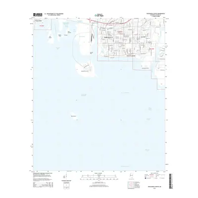
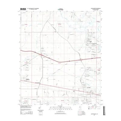
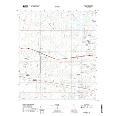
(20)- 2012 Map of Gautier North, 2012 Print
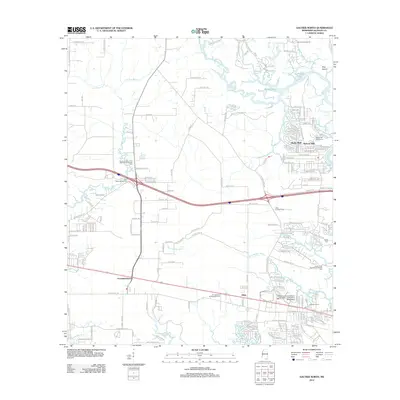 2012 Gautier North2012 Print · USGSCovers Gautier, including Ocean Springs, Martin Bluff, and other nearby areas
 - 2012 Map of Pascagoula North, 2012 Print
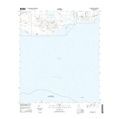
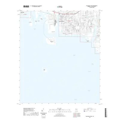
 2012 Pascagoula North2012 Print · USGSCovers Gautier, including Pascagoula, Moss Point, and other nearby areas
 - 2012 Map of Pascagoula South, 2012 Print
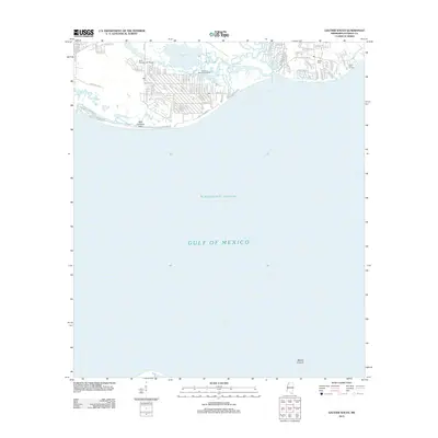
 2012 Pascagoula South2012 Print · USGSCovers Gautier, including Pascagoula, East Pascagoula, and other nearby areas
 - 2012 Map of Gautier South, 2012 Print
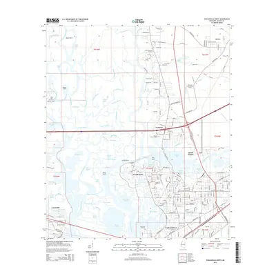
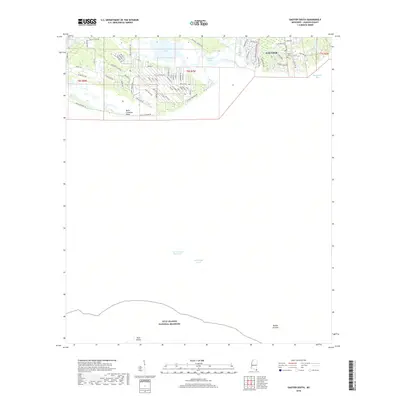
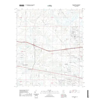
 2012 Gautier South2012 Print · USGSCovers Gautier, including Jackson County, United States, and other nearby areas
 - 2015 Map of Pascagoula South, 2015 Print
 2015 Pascagoula South2015 Print · USGSCovers Gautier, including Pascagoula, East Pascagoula, and other nearby areas
 - 2015 Map of Pascagoula North, 2015 Print
 2015 Pascagoula North2015 Print · USGSCovers Gautier, including Pascagoula, Moss Point, and other nearby areas
 - 2015 Map of Gautier South, 2015 Print
 2015 Gautier South2015 Print · USGSCovers Gautier, including Jackson County, United States, and other nearby areas
 - 2015 Map of Gautier North, 2015 Print
 2015 Gautier North2015 Print · USGSCovers Gautier, including Ocean Springs, Martin Bluff, and other nearby areas
 - 2018 Map of Gautier South, 2018 Print
 2018 Gautier South2018 Print · USGSCovers Gautier, including Jackson County, United States, and other nearby areas
 - 2018 Map of Gautier North, 2018 Print
 2018 Gautier North2018 Print · USGSCovers Gautier, including Ocean Springs, Martin Bluff, and other nearby areas
 - 2018 Map of Pascagoula South, 2018 Print
 2018 Pascagoula South2018 Print · USGSCovers Gautier, including Pascagoula, East Pascagoula, and other nearby areas
 - 2018 Map of Pascagoula North, 2018 Print
 2018 Pascagoula North2018 Print · USGSCovers Gautier, including Pascagoula, Moss Point, and other nearby areas
 - 2020 Map of Gautier South, 2020 Print
 2020 Gautier South2020 Print · USGSCovers Gautier, including Jackson County, United States, and other nearby areas
 - 2020 Map of Pascagoula North, 2020 Print
 2020 Pascagoula North2020 Print · USGSCovers Gautier, including Pascagoula, Moss Point, and other nearby areas
 - 2020 Map of Pascagoula South, 2020 Print
 2020 Pascagoula South2020 Print · USGSCovers Gautier, including Pascagoula, East Pascagoula, and other nearby areas
 - 2020 Map of Gautier North, 2020 Print
 2020 Gautier North2020 Print · USGSCovers Gautier, including Ocean Springs, Martin Bluff, and other nearby areas
 - 2024 Map of Gautier North, 2024 Print
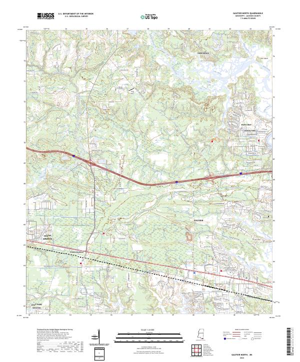 2024 Gautier North2024 Print · USGSThe Mississippi Gulf Coast near Gautier and Vancleave is shown here in the 2020s, where expansive wildlife refuges meet growing coastal communities. Researchers can trace local landmarks like Taylor Cem, the Jackson County Campus, and the winding waters of Mary Walker Bayou.
 - 2024 Map of Gautier South, 2024 Print
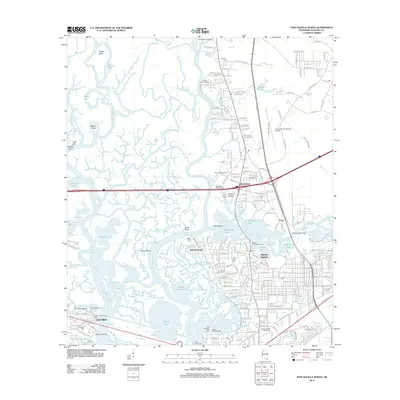
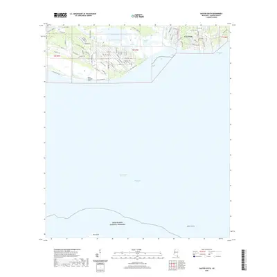
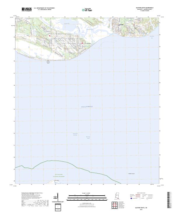 2024 Gautier South2024 Print · USGSThe Jackson County shoreline near the turn of the first quarter-century reveals a landscape defined by the Mississippi Sound and the marshes of Graveline Bay. Genealogists and locals can trace neighborhood growth near Bethel Cem and the protected reaches of Horn Island.
 - 2024 Map of Pascagoula North, 2024 Print
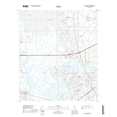
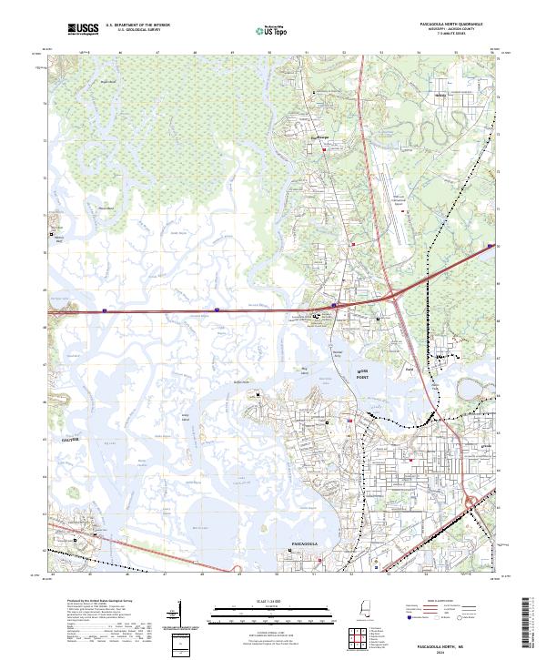 2024 Pascagoula North2024 Print · USGSThe Mississippi Gulf Coast unfolds in the mid-2020s, revealing a landscape defined by the winding Pascagoula River and its surrounding wetlands. Genealogists can trace local roots through Griffin Cem, Zion Cem, and the historic river crossings at Randall Ferry.
 - 2024 Map of Pascagoula South, 2024 Print
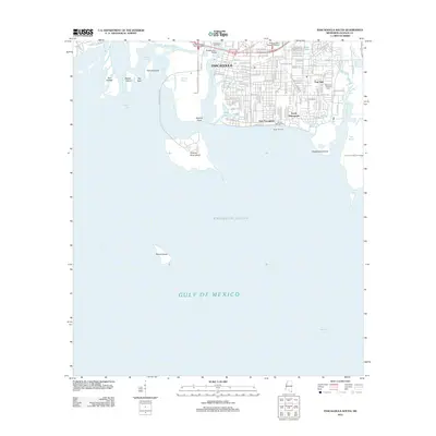
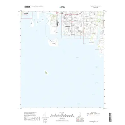
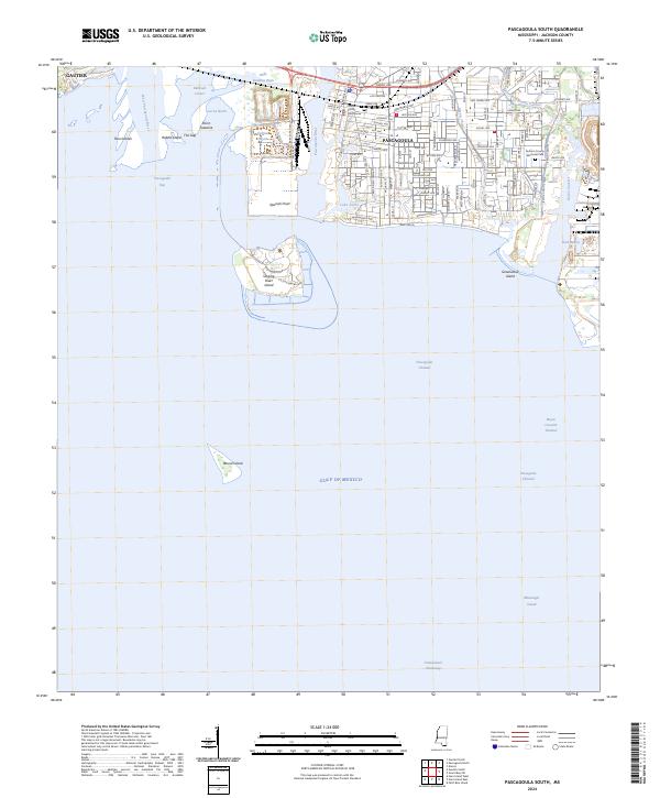 2024 Pascagoula South2024 Print · USGSThe Mississippi Gulf Coast near the shipyards and sound is captured here in the contemporary era. Researchers can trace the civic heart of Pascagoula near the Jackson County Courthouse or locate offshore landmarks like Round Island and Singing River Island.
End of results
Showing maps 1-20 of 20
Top cities near Gautier
- Biloxi historical maps
- Pascagoula historical maps
- Ocean Springs historical maps
- D'Iberville historical maps
- Moss Point historical maps
Top neighborhoods of Gautier
- Hilda historical maps
- Martin Bluff historical maps
- Hickory Hills historical maps
- Riverside historical maps
Frequently asked questions
- What are the different types of historical maps available for Gautier?
- What is the oldest map of Gautier?
- Where can I purchase historical maps of Gautier for my home or office?
- Where can I download high-res historical maps of Gautier?
- Are there historical topographic maps available for Gautier?
- Is there historical aerial imagery available for Gautier?
- Where are historical maps of Gautier sourced from?