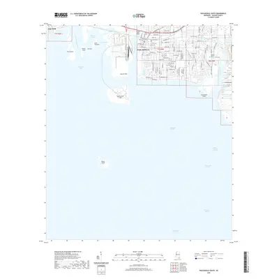
2020 Map of Pascagoula South
USGS Topo · Published 2020About this map
Pascagoula's complex maritime geography is defined by the convergence of the Pascagoula River and the Mississippi Sound. This survey captures the intricate network of industrial and natural waterways, from the deep Pascagoula Channel to the marshy reaches of Belle Fontaine-Bayou and Lac La Buche. The city's civic heart is anchored by the Jackson County Courthouse, while the surrounding street grid extends toward the bay.
Find a feature on this map
59 named features on this map. Tap any name to fly to it.
Don’t see what you’re looking for? This feature index may not catch every label — zoom into the map to look around manually.
Map Details
Editions of this 2020 Pascagoula South Map
This is the sole edition of this map. No revisions or reprints were ever made.
Other maps of this area

1921 · Grand Bay
USGS Topo · 1:62,500

1921 · Petit Bois Island
USGS Topo · 1:62,500

1941 · Horn Island
USGS Topo · 1:62,500

1942 · Petit Bois Island
USGS Topo · 1:62,500

1942 · Horn Island
USGS Topo · 1:62,500

1943 · Pascagoula
USGS Topo · 1:62,500

1943 · Grand Bay
USGS Topo · 1:62,500

1953 · Mobile
USGS Topo · 1:250,000

1955 · Pascagoula
USGS Topo · 1:62,500

1957 · Mobile
USGS Topo · 1:250,000
Featured Places
- Pascagoula, MS
- Gautier, MS
- East Pascagoula, Pascagoula
- South Pascagoula, Pascagoula
- East Side, Pascagoula