Old Maps of Heidelberg, Mississippi for Academic Research
Study the evolution of Heidelberg with 24 high-resolution historic maps. Whether you're teaching, researching, or modeling changes in land use, these maps provide essential visual documentation of urban, environmental, and geographic change.
- Analyze long-term change: Track patterns in development, transportation, and natural features.
- Ideal for environmental or urban studies: Support academic projects with primary historical map data.
- Use in the classroom or lab: Educators and researchers rely on these maps to bring historical context to life.
These maps are a powerful tool for teaching, research, and visualizing how Heidelberg has changed over the decades.
Heidelberg, MS maps
(24)- 1953 Map of Hattiesburg, 1965 Print
 1953 Hattiesburg1965 Print · USGSSouth Mississippi and western Alabama are shown here during the mid-twentieth century as the timber and rail industries shaped the region. Genealogists and historians can trace rail lines like the Mississippi Central and locate rural centers such as Magee, Richton, and Mount Vernon.4 unique versions available
 - 1958 Map of Hattiesburg
 1958 Hattiesburg1958 Print · USGSSoutheastern Mississippi's timber and rail networks are at their peak during the late fifties, centered on the growing hubs of Hattiesburg and Laurel. Researchers can trace old family landmarks like Sims Chapel, the Busbey Game Refuge, and the vanished stops along the Mississippi Central railroad.2 unique versions available
 - 1963 Map of Waldrup, 1965 Print
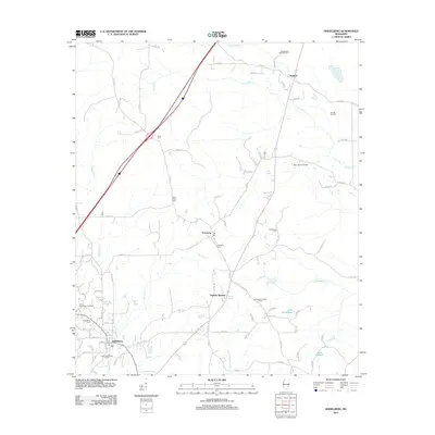
 1963 Waldrup1965 Print · USGSJasper County's rural communities and church-centered social fabric are captured here in the early sixties. Genealogists can locate family landmarks like Oakbowery Ch, Pisgah Ch, and Old Ebenezer Ch along the waters of Tallahala Creek.3 unique versions available
 - 1963 Map of Heidelberg, 1965 Print
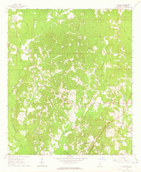
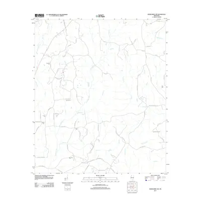
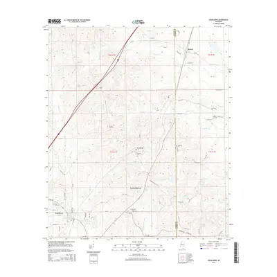
 1963 Heidelberg1965 Print · USGSHeidelberg and the surrounding timberlands of Jasper and Clarke Counties are seen here in the early sixties as the rail-and-river economy matured. Trace family roots at Vossburg, Stafford Springs, and numerous local sites like Eddins Memorial Cem.2 unique versions available
 - 1964 Map of Heidelberg SW, 1965 Print
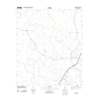
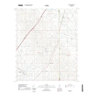
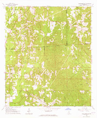 1964 Heidelberg SW1965 Print · USGSFour Mississippi counties meet among the creek bottoms and timberlands south of Heidelberg in the mid-sixties. Genealogists can trace rural family sites like Blackledge Cem, Bogue Homo Sch, and the Old Indian Treaty Boundary.3 unique versions available
 - 1984 Map of Hattiesburg
 1984 Hattiesburg1984 Print · USGSSouth Mississippi’s Pine Belt is seen here in the mid-eighties, showing the region as a hub of timber production and petroleum extraction. Trace the rail lines of the Illinois Central Gulf RR through old settlements like Richton or the energy developments at the Heidelberg Oil Field.2 unique versions available
 - 1984 Map of Waynesboro
 1984 Waynesboro1984 Print · USGSThe borderlands of Mississippi and Alabama come alive in this mid-eighties survey of timber and river country. Researchers can trace the Illinois Central Gulf Railroad corridor through Waynesboro and Shubuta, or locate remote lookouts like Maynor Creek Lookout.2 unique versions available
 - 1984 Map of Laurel
 1984 Laurel1984 Print · USGSCentral Mississippi in the mid-eighties shows a landscape of timberlands and river valleys anchored by the growth of Laurel. Genealogists can trace family names near Oak Grove Ch, rural School sites, and settlements along the Illinois Central Gulf RR.
 - 1994 Map of Laurel
 1994 Laurel1994 Print · USGSThe piney woods of south-central Mississippi come into focus in the 1990s, centered on the timber and industrial hub of Laurel. Genealogists and researchers can trace the rural landscape between Collins and Bay Springs or locate homesites near Ellisville and Magee.
 - 2012 Map of Heidelberg SW, 2012 Print
 2012 Heidelberg SW2012 Print · USGSCovers Heidelberg, including Jones County, Wayne County, and other nearby areas
 - 2012 Map of Heidelberg, 2012 Print
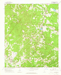
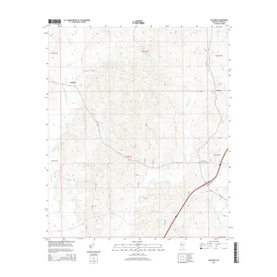
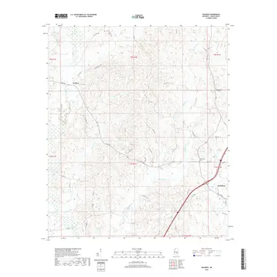
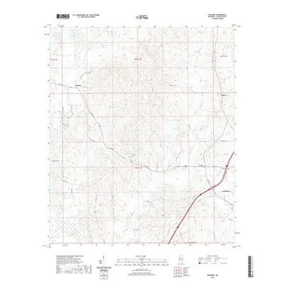
 2012 Heidelberg2012 Print · USGSCovers Heidelberg, including Vossburg, Stafford Springs, and other nearby areas
 - 2012 Map of Waldrup, 2012 Print
 2012 Waldrup2012 Print · USGSCovers Heidelberg, including Kelona, Waldrup, and other nearby areas
 - 2015 Map of Heidelberg SW, 2015 Print
 2015 Heidelberg SW2015 Print · USGSCovers Heidelberg, including Jones County, Wayne County, and other nearby areas
 - 2015 Map of Waldrup, 2015 Print
 2015 Waldrup2015 Print · USGSCovers Heidelberg, including Kelona, Waldrup, and other nearby areas
 - 2015 Map of Heidelberg, 2015 Print
 2015 Heidelberg2015 Print · USGSCovers Heidelberg, including Vossburg, Stafford Springs, and other nearby areas
 - 2018 Map of Heidelberg, 2018 Print
 2018 Heidelberg2018 Print · USGSCovers Heidelberg, including Vossburg, Stafford Springs, and other nearby areas
 - 2018 Map of Heidelberg SW, 2018 Print
 2018 Heidelberg SW2018 Print · USGSCovers Heidelberg, including Jones County, Wayne County, and other nearby areas
 - 2018 Map of Waldrup, 2018 Print
 2018 Waldrup2018 Print · USGSCovers Heidelberg, including Kelona, Waldrup, and other nearby areas
 - 2020 Map of Waldrup, 2020 Print
 2020 Waldrup2020 Print · USGSCovers Heidelberg, including Kelona, Waldrup, and other nearby areas
 - 2020 Map of Heidelberg SW, 2020 Print
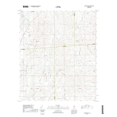
 2020 Heidelberg SW2020 Print · USGSCovers Heidelberg, including Jones County, Wayne County, and other nearby areas
 - 2020 Map of Heidelberg, 2020 Print
 2020 Heidelberg2020 Print · USGSCovers Heidelberg, including Vossburg, Stafford Springs, and other nearby areas
 - 2024 Map of Heidelberg SW, 2024 Print
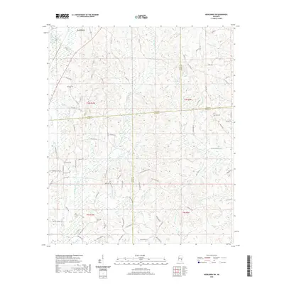
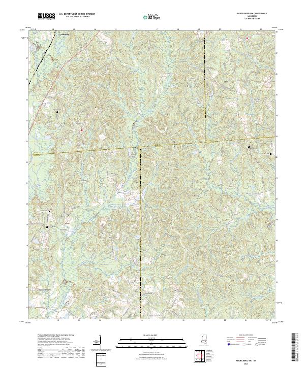 2024 Heidelberg SW2024 Print · USGSThe rural borders of four Mississippi counties converge in this 2024 landscape of winding creek drainages and family-named roads. Genealogists can trace local heritage through several burial sites including Bethel Cem, Choctaw Cem, and Florence Cem along the Bogue Homo corridor.
 - 2024 Map of Waldrup, 2024 Print
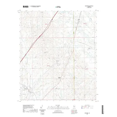
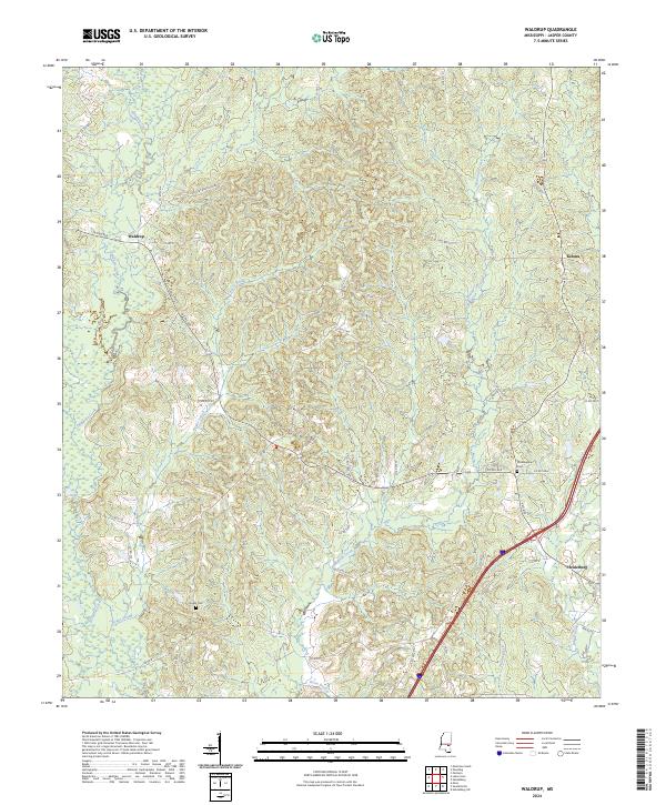 2024 Waldrup2024 Print · USGSJasper County, Mississippi, is shown here in the 2020s, revealing a landscape of winding creeks and quiet rural settlements. Researchers can locate the streets of Heidelberg and trace family sites at Philadelphia Cem or Pisgah Cem.
 - 2024 Map of Heidelberg, 2024 Print
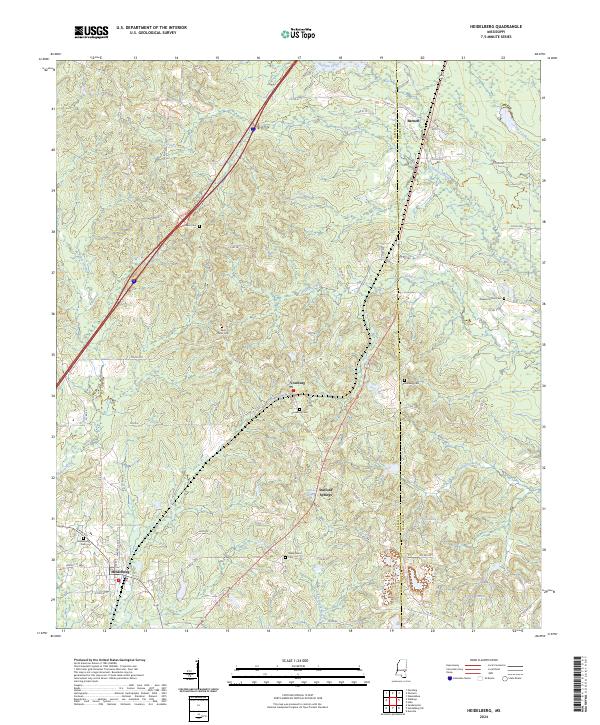 2024 Heidelberg2024 Print · USGSJasper and Clarke counties are shown in this contemporary survey, centering on the rural community of Heidelberg. Genealogists and local historians can trace family locations through numerous sites like Vossburg Cem, Saint Peter Cem, and Stafford Springs.
End of results
Showing maps 1-24 of 24
Top cities near Heidelberg
Frequently asked questions
- What are the different types of historical maps available for Heidelberg?
- What is the oldest map of Heidelberg?
- Where can I purchase historical maps of Heidelberg for my home or office?
- Where can I download high-res historical maps of Heidelberg?
- Are there historical topographic maps available for Heidelberg?
- Is there historical aerial imagery available for Heidelberg?
- Where are historical maps of Heidelberg sourced from?