
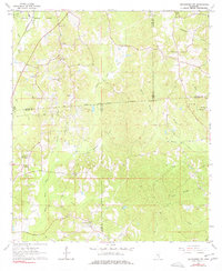
1964 Map of Heidelberg SW
USGS Topo · Published 1965About this map
The corporate boundary of Heidelberg anchors the northwest corner of this 1964 survey, where the Southern railroad line cuts through a landscape defined by an intricate network of creek drainages and political borders. This area serves as a significant junction for four Mississippi counties—Jasper, Jones, Clarke, and Wayne—marked by the Old Indian Treaty Boundary that bisects the terrain. Rural life is evidenced by a high density of community landmarks, including the Bogue Homo Sch and numerous country churches like Choctaw Ch and Beaver Meadow Ch. The topography is dominated by the winding paths of Bogue Homo and its many tributaries, such as Eucutta Creek and Thompson Creek. Notable for genealogists, several family-named burial sites like Blackledge Cem and Oak Grove Cem are documented alongside infrastructure like the Pumping Station, illustrating the mid-century intersection of traditional settlement and industrial development.
Find a feature on this map
38 named features on this map. Tap any name to fly to it.
Don’t see what you’re looking for? This feature index may not catch every label — zoom into the map to look around manually.
Map Details
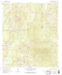
Editions of this 1964 Heidelberg SW Map
Other maps of this area

1953 · Hattiesburg
USGS Topo · 1:250,000

1958 · Hattiesburg
USGS Topo · 1:250,000

1963 · Waldrup
USGS Topo · 1:24,000

1963 · Heidelberg
USGS Topo · 1:24,000

1964 · Sandersville
USGS Topo · 1:24,000

1964 · Eucutta
USGS Topo · 1:24,000

1964 · Laurel East
USGS Topo · 1:24,000

1964 · Myrick
USGS Topo · 1:24,000

1964 · Hale
USGS Topo · 1:24,000

1964 · Whistler
USGS Topo · 1:24,000