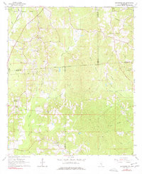
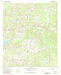
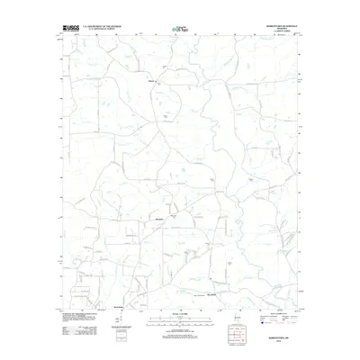
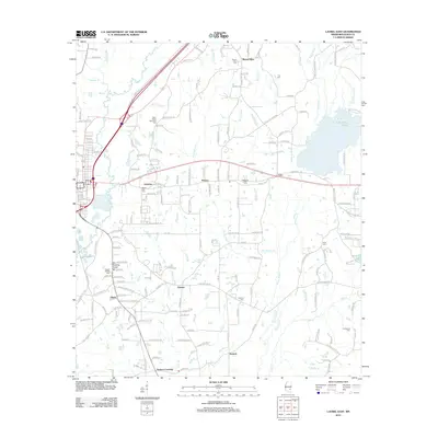
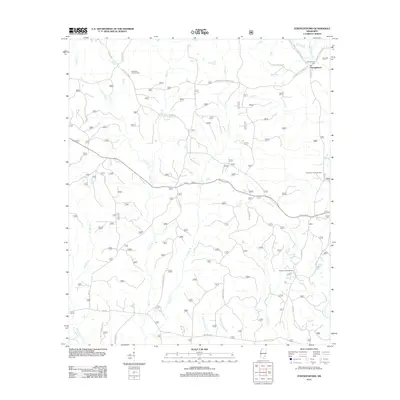
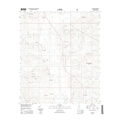
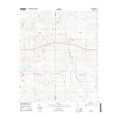
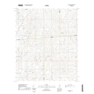
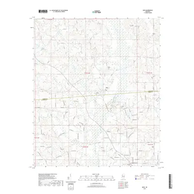
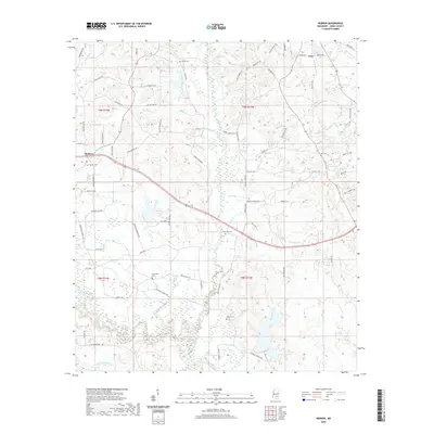
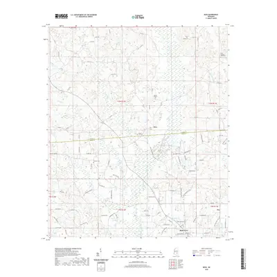
1964 Map of Heidelberg SW
USGS Topo · Published 1978About this map
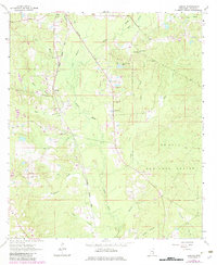
The Old Indian Jasper Co Treaty Boundary cuts through this landscape, marking a historical line of demarcation that still dictated county divisions in the 1960s. This territory, where the borders of Jasper, Jones, Clarke, and Wayne counties converge, is defined by the dense network of tributaries feeding into Bogue Homo and Eucutta Creek. Small community nodes are centered around rural institutions like the Bogue Homo Sch and numerous country churches, including Pine Grove Ch and McFarland Ch. The southern reaches of the Heidelberg Corporate Boundary appear in the northwest, while the rest of the map reveals a landscape of industrial extraction and quiet hamlets. Multiple Claypit and Gravel Pits sites suggest a local economy tied to the land's raw materials, connected by a web of unimproved roads and named creeks like Terrell Creek and Hubbard Creek.
Find a feature on this map
40 named features on this map. Tap any name to fly to it.
Don’t see what you’re looking for? This feature index may not catch every label — zoom into the map to look around manually.
Map Details
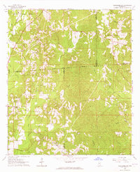
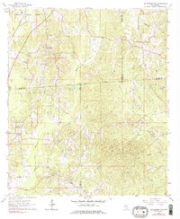
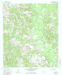
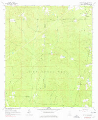
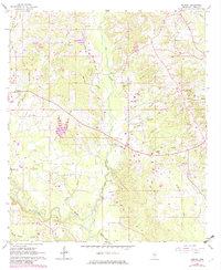
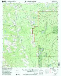
Editions of this 1964 Heidelberg SW Map
Historical Maps of Heidelberg Through Time
55 maps found
1963 Barrontown
Jones County, MS
1964 Heidelberg SW
Jones County, MS
1964 Lanham
Jones County, MS
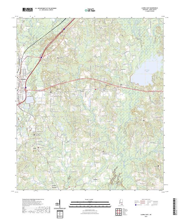
1964 Laurel East
Jones County, MS
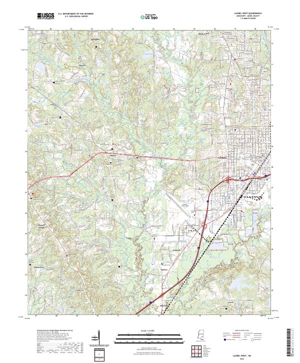
1964 Laurel West
Jones County, MS
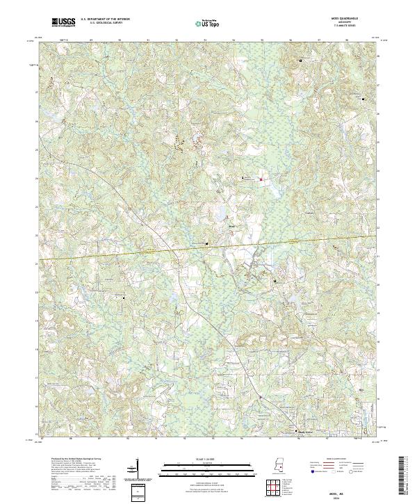
1964 Moss
Jones County, MS
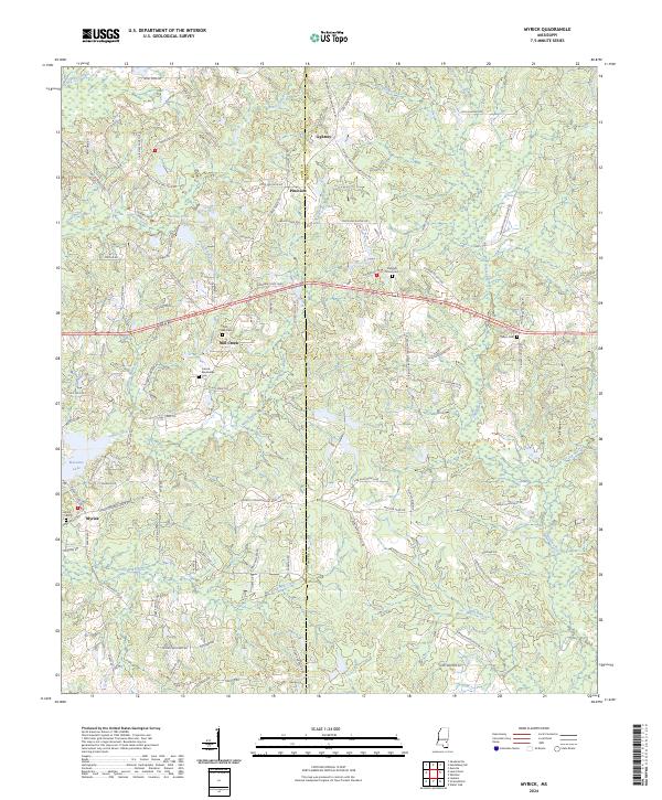
1964 Myrick
Jones County, MS
1964 Strengthford
Jones County, MS
1965 Hebron
Jones County, MS
2000 Lanham
Jones County, MS
2012 Barrontown
Jones County, MS
2012 Hebron
Jones County, MS
2012 Heidelberg SW
Jones County, MS
2012 Lanham
Jones County, MS
2012 Laurel East
Jones County, MS
2012 Laurel West
Jones County, MS
2012 Moss
Jones County, MS
2012 Myrick
Jones County, MS
2012 Strengthford
Jones County, MS
2015 Barrontown
Jones County, MS
2015 Hebron
Jones County, MS
2015 Heidelberg SW
Jones County, MS
2015 Lanham
Jones County, MS
2015 Laurel East
Jones County, MS
2015 Laurel West
Jones County, MS
2015 Moss
Jones County, MS
2015 Myrick
Jones County, MS
2015 Strengthford
Jones County, MS
2018 Barrontown
Jones County, MS
2018 Hebron
Jones County, MS
2018 Heidelberg SW
Jones County, MS
2018 Lanham
Jones County, MS
2018 Laurel East
Jones County, MS
2018 Laurel West
Jones County, MS
2018 Moss
Jones County, MS
2018 Myrick
Jones County, MS
2018 Strengthford
Jones County, MS
2020 Barrontown
Jones County, MS
2020 Hebron
Jones County, MS
2020 Heidelberg SW
Jones County, MS
2020 Laurel East
Jones County, MS
2020 Laurel West
Jones County, MS
2020 Moss
Jones County, MS
2020 Myrick
Jones County, MS
2021 Lanham
Jones County, MS
2021 Strengthford
Jones County, MS
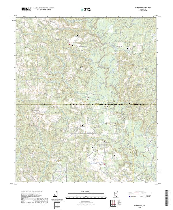
2024 Barrontown
Jones County, MS
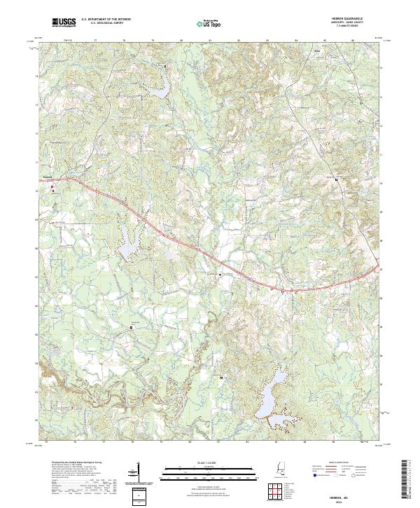
2024 Hebron
Jones County, MS
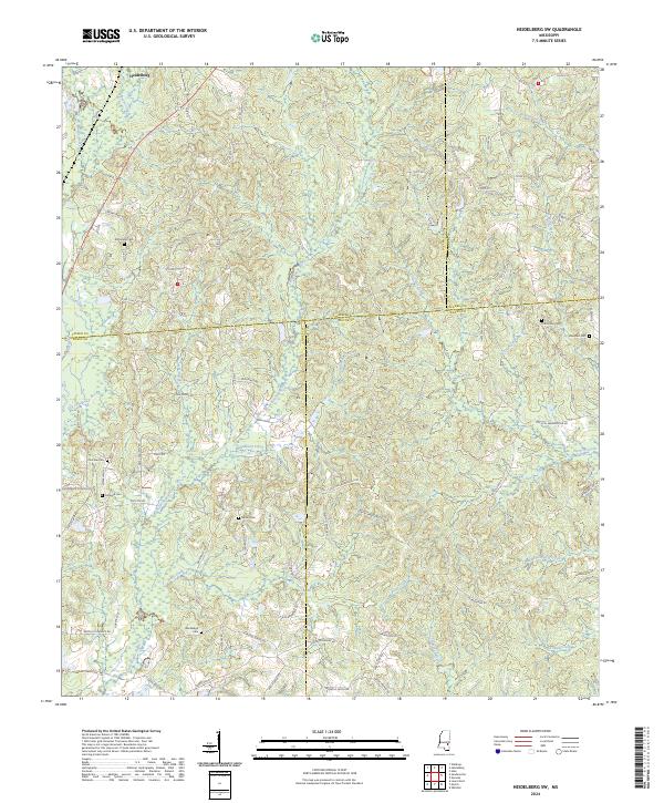
2024 Heidelberg SW
Jones County, MS
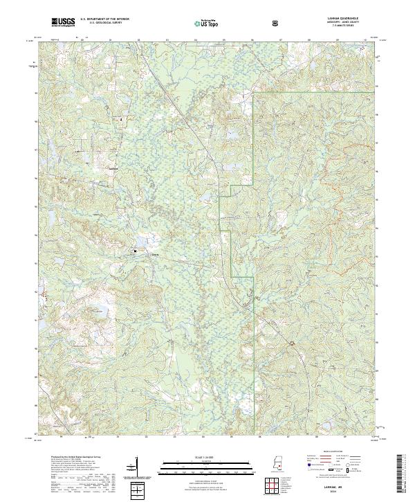
2024 Lanham
Jones County, MS
2024 Laurel East
Jones County, MS
2024 Laurel West
Jones County, MS
2024 Moss
Jones County, MS
2024 Myrick
Jones County, MS
2024 Strengthford
Jones County, MS