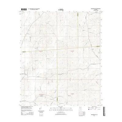
2015 Map of Heidelberg SW
USGS Topo · Published 2015About this map
The Bogue Homo and Little Bogue Homo rivers carve through this rural corner of southeastern Mississippi, marking a landscape defined by small family settlements and country churches. The small community of McFarland is situated in the north, while the southern reaches are home to Florence Church and its neighboring Florence Cem. This map is particularly valuable for genealogists, as it documents numerous family and community burial grounds, including Choctaw Cem, Bethel Cem, and Oak Grove Cem.
Find a feature on this map
72 named features on this map. Tap any name to fly to it.
Don’t see what you’re looking for? This feature index may not catch every label — zoom into the map to look around manually.
Map Details
Editions of this 2015 Heidelberg SW Map
This is the sole edition of this map. No revisions or reprints were ever made.
Other maps of this area

1953 · Hattiesburg
USGS Topo · 1:250,000

1958 · Hattiesburg
USGS Topo · 1:250,000

1963 · Waldrup
USGS Topo · 1:24,000

1963 · Heidelberg
USGS Topo · 1:24,000

1964 · Heidelberg SW
USGS Topo · 1:24,000

1964 · Sandersville
USGS Topo · 1:24,000

1964 · Eucutta
USGS Topo · 1:24,000

1964 · Laurel East
USGS Topo · 1:24,000

1964 · Myrick
USGS Topo · 1:24,000

1964 · Hale
USGS Topo · 1:24,000