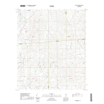
2018 Map of Heidelberg SW
USGS Topo · Published 2018About this map
Heidelberg sits at the northern edge of this landscape, where the headwaters of Bogue Homo and Eucutta Cr begin their descent through the pine-forested terrain of Southeast Mississippi. The map reveals a deeply rooted rural community structure defined by family-named roads and numerous small burial grounds. Local history is etched into the landscape via routes like McFarland Rd, Gatlin Williams Rd, and Harb Purvis Rd, which connect isolated homesteads to historic centers of rest.
Find a feature on this map
86 named features on this map. Tap any name to fly to it.
Don’t see what you’re looking for? This feature index may not catch every label — zoom into the map to look around manually.
Map Details
Editions of this 2018 Heidelberg SW Map
This is the sole edition of this map. No revisions or reprints were ever made.
Other maps of this area

1953 · Hattiesburg
USGS Topo · 1:250,000

1958 · Hattiesburg
USGS Topo · 1:250,000

1963 · Waldrup
USGS Topo · 1:24,000

1963 · Heidelberg
USGS Topo · 1:24,000

1964 · Heidelberg SW
USGS Topo · 1:24,000

1964 · Sandersville
USGS Topo · 1:24,000

1964 · Eucutta
USGS Topo · 1:24,000

1964 · Laurel East
USGS Topo · 1:24,000

1964 · Myrick
USGS Topo · 1:24,000

1964 · Hale
USGS Topo · 1:24,000