2010s Maps of Jefferson County, Mississippi
Explore 51 historic maps of Jefferson County from the 2010s. These maps offer a rare glimpse into what life looked like during the 2010s — showing old roads, neighborhoods, homes, and landmarks that have changed or disappeared over time.
Whether you're researching your family's past, planning a metal detecting trip, or studying how Jefferson County's landscape evolved across the 2010s, these high-resolution maps are a powerful tool for exploring the history of this region.
- Focus on a specific era: All maps on this page are from the 2010s, giving you a focused view of this time period.
- See what’s changed: Compare century-old streets, trails, and buildings to today's modern landscape using overlays and satellite layers.
- Research with precision: Use these maps for genealogy, historical research, land use analysis, or educational projects.
- View, download, or print: Maps are fully viewable online in high resolution, and can be downloaded or printed for your own records.
Start exploring Jefferson County's history through authentic maps from the 2010s. This is your window into the past.
Jefferson County, MS maps
(51)- 2012 Map of Church Hill, 2012 Print
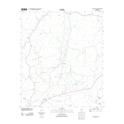 2012 Church Hill2012 Print · USGSJefferson County’s rural uplands are shown in detail here just after the turn of the millennium. Researchers can trace historic family burial sites like Bethlehem Cem and Harrison Cem or locate the ancient Emerald Mound near Cannonsburg.
 - 2012 Map of Cranfield, 2012 Print
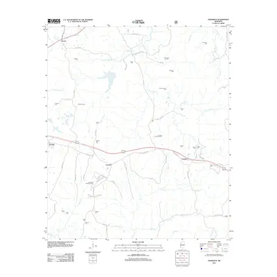 2012 Cranfield2012 Print · USGSAdams County in the early twenty-first century remains a landscape shaped by petroleum and deep-rooted family history. Genealogists and researchers can trace local ties through numerous burial sites like Roaring Dale Cem and the Thompson Cem.
 - 2012 Map of Lorman, 2012 Print
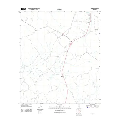 2012 Lorman2012 Print · USGSJefferson County's rural communities and creek-riven landscape are documented here at the start of the 2010s. Researchers can locate family landmarks like Waterloo Cem, trace the route of the Natchez Trace Pkwy, and explore settlements like Coon Box and Lorman.
 - 2012 Map of Fayette, 2012 Print
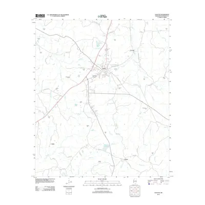 2012 Fayette2012 Print · USGSFayette and the surrounding Jefferson County countryside are shown here in the early twenty-first century, centered on the local oil industry. Researchers can locate numerous family burial grounds like Stuart Cem and Montgomery Cem, or trace the paths of Bolls Cr and Morgan Fork.
 - 2012 Map of Roxie, 2012 Print
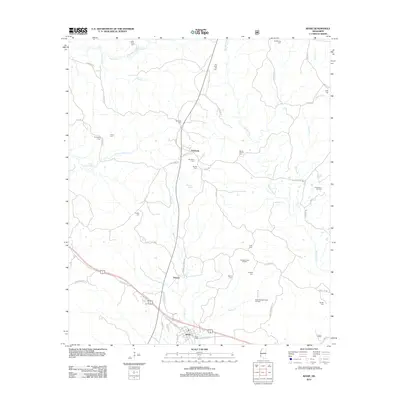 2012 Roxie2012 Print · USGSRoxie and the surrounding Franklin County countryside are shown here during a period of active energy production and deep-seated local history. Researchers can pinpoint numerous family burial sites like Old Rose Hill Cem and Mundy Cem alongside the Oldenburg Oil Field.
 - 2012 Map of Barlow, 2012 Print
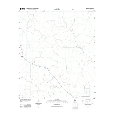 2012 Barlow2012 Print · USGSInland Copiah County is documented here during the early twenty-first century, showcasing a rural landscape defined by family settlements and stream valleys. Genealogists can trace local history through numerous burial sites like Rehobeth-Barlow Cem and Weeks Cem near Little Bayou Pierre.
 - 2012 Map of Eddiceton, 2012 Print
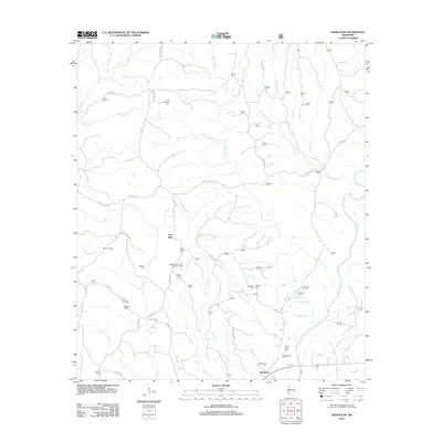 2012 Eddiceton2012 Print · USGSFranklin County's rural communities and oil-producing lands are detailed here during the early twenty-first century. Researchers can trace family history at Sarepta Cem and Magee Cem or locate operations at the Bonus Oil Field.
 - 2012 Map of McBride, 2012 Print
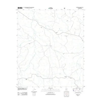 2012 McBride2012 Print · USGSRural Jefferson County comes into focus in this modern era survey of the settlements near McBride and Blue Hill. Researchers can locate numerous family burial sites such as Herlong Cem and Segrest Cem, or trace the winding course of Brandywine Cr and Johnson Cr.
 - 2012 Map of Caseyville, 2012 Print
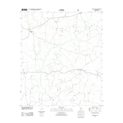 2012 Caseyville2012 Print · USGSLincoln County in the early twenty-first century reveals a landscape defined by the winding Homochitto River and its rural settlements. Genealogists and local historians can trace family locations through sites like Ben Salem Cem, Allen, and the Pleasant Hill Lookout Tower.
 - 2012 Map of McCall Creek, 2012 Print
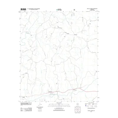 2012 McCall Creek2012 Print · USGSFranklin County in the early twenty-first century reveals a network of small settlements and family cemeteries tied to the winding river valleys. Genealogists can trace family roots through sites like New Salem Cem and Bockles Cem or locate the Quentin Lookout Tower.
 - 2012 Map of Rodney, 2012 Print
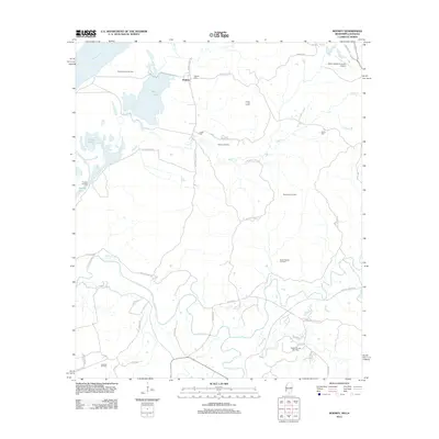 2012 Rodney2012 Print · USGSNear the banks of the Mississippi River, this 2012 survey shows a landscape defined by riverside settlements and active energy production. Researchers can trace historic family sites at Rodney Cem and Griffin Cem or explore the geography of the Rodney Island Oil Field and the Natchez Trace Pkwy.
 - 2012 Map of Union Church, 2012 Print
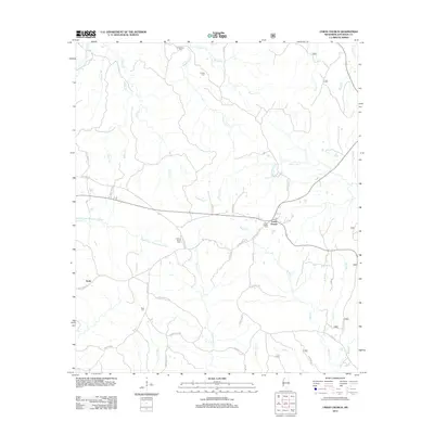 2012 Union Church2012 Print · USGSJefferson County in the early twenty-first century remains a landscape of deep rural heritage and creek-fed valleys. Genealogists and local historians can trace family ties through Union Church Cem, Hickory Block Cem, and the community of Perth.
 - 2012 Map of Kirby, 2012 Print
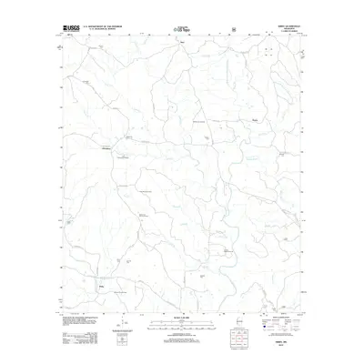 2012 Kirby2012 Print · USGSFranklin County at the start of the 2010s reveals a landscape defined by the winding Middle Fork Homochitto River and active energy production. Local historians can trace family roots through several small burial sites like Oldenburg Cem and Byrd Cem while surveying the East Oldenburg Oil Field.
 - 2012 Map of Pine Ridge, 2012 Print
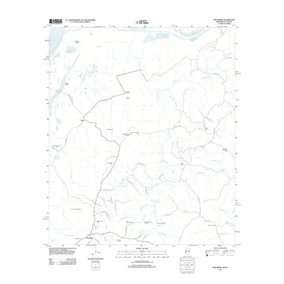 2012 Pine Ridge2012 Print · USGSAdams County’s river bluffs and oil-rich bottomlands are captured here in the early twenty-first century. Genealogists and local historians can trace family landmarks like Painters Cem, Shields Cem, and the old crossroads at Pine Ridge or Anna.
 - 2012 Map of Gin Branch, 2012 Print
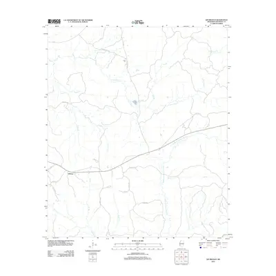 2012 Gin Branch2012 Print · USGSJefferson County in the early twenty-first century remains a landscape of deep creek valleys and winding rural routes. Genealogists and local historians can trace family land near the Dillon Cem or follow the waters of the Middle Fork Homochitto River and N Fork Coles Cr.
 - 2012 Map of Red Lick, 2012 Print
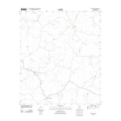 2012 Red Lick2012 Print · USGSJefferson County in the early twenty-first century remains a landscape of quiet crossroads and historic family burial sites. Genealogists and local historians can trace community roots through landmarks like Cherry Hill Cem, Dennis Crossroads, and the Redlick Oil Field.
 - 2012 Map of Chamblee, 2012 Print
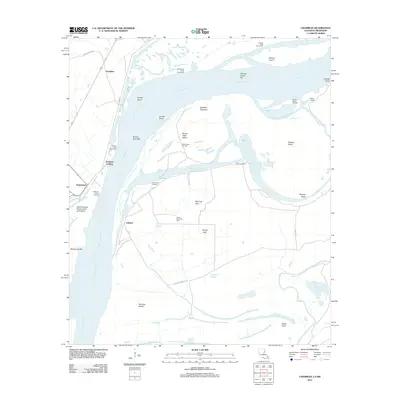 2012 Chamblee2012 Print · USGSThe shifting bends of the Mississippi River define this borderland between Louisiana and Mississippi during the early 21st century. Genealogists and local historians can locate old river landings like Goldman Landing and Buena Vista Landing or trace oil field operations at Rodney Island Oil Field.
 - 2015 Map of Lorman, 2015 Print
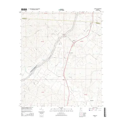 2015 Lorman2015 Print · USGSJefferson County and the Natchez Trace corridor are captured here during the mid-2010s, showing a landscape defined by historic transit routes and rural settlements. Genealogists can locate family burial grounds like Waterloo Cem and China Grove Cem or trace the environs of Lorman and Stonington.
 - 2015 Map of Church Hill, 2015 Print
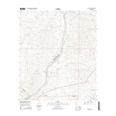 2015 Church Hill2015 Print · USGSJefferson and Adams counties are shown here in the mid-2010s, where the historic trace meets a landscape of bayous and ancient mounds. Genealogists can locate numerous family burial sites like Bell Grove Cem and Brooks Cem or explore the area surrounding Emerald Mound.
 - 2015 Map of Roxie, 2015 Print
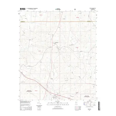 2015 Roxie2015 Print · USGSRoxie and the surrounding Franklin County timberlands are captured here in the mid-2010s, showing the intersection of local life and the Homochitto National Forest. Researchers can locate dozens of burial sites like Old Beech Grove Cem, Mundy Cem, and Roxie Cem across the rural landscape.
 - 2015 Map of Fayette, 2015 Print
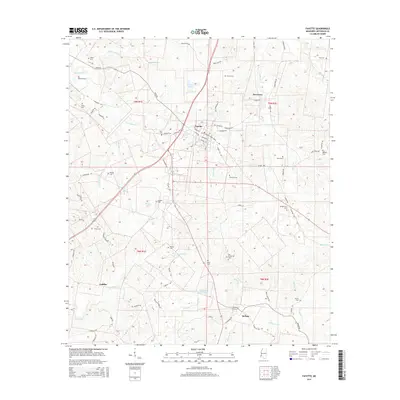 2015 Fayette2015 Print · USGSJefferson County settlement and rural life are preserved here in the mid-2010s, centering on the streets of Fayette and the rail-junction at Harriston. Genealogists and researchers can trace local family landmarks through numerous rural sites like Hicks Cem, Darden Cem, and Whitney Cem.
 - 2015 Map of Chamblee, 2015 Print
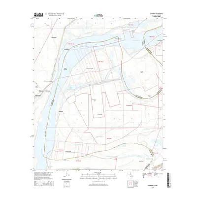 2015 Chamblee2015 Print · USGSThe Mississippi River borderlands in Tensas Parish appear here in the mid-2010s, showcasing a landscape defined by oxbow lakes and river bends. Trace local history through the Myrtle Grove Cem and explore named riverside sites like Goldman Landing, Ashland, and Waterproof.
 - 2015 Map of Cranfield, 2015 Print
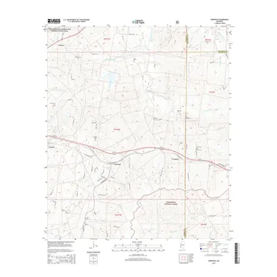 2015 Cranfield2015 Print · USGSCranfield and the surrounding Adams County countryside are captured here in the mid-2010s, showing the intersection of modern forestry and historic trails. Genealogists can trace family burial sites across the landscape, including Roaring Dale Cem, Higgland Cem, and Hoggatt Cem.
 - 2015 Map of Rodney, 2015 Print
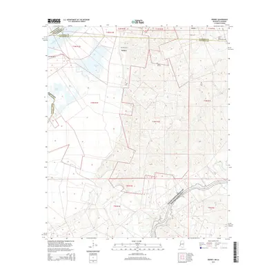 2015 Rodney2015 Print · USGSThe Mississippi River border near Jefferson County is captured here in the mid-2010s, showing a landscape of river bends and high ridges. Researchers can trace family sites at Rodney Cem or Laurel Hill Cem and locate the historic Rodney settlement near the banks of Flatland Lake.
 - 2015 Map of Pine Ridge, 2015 Print
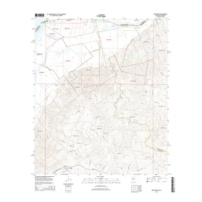 2015 Pine Ridge2015 Print · USGSThe Mississippi River borderlands come alive in this 2015 survey, documenting the rural settlements of Pine Ridge and Anna. Researchers can locate several family burial sites like Painters Cem and Drake-Magruder Cem tucked between Quitman Bayou and Fairchilds Cr.
Showing maps 1-25 of 51
Top cities of Jefferson County
Frequently asked questions
- What are the different types of historical maps available for Jefferson County?
- What is the oldest map of Jefferson County?
- Where can I purchase historical maps of Jefferson County for my home or office?
- Where can I download high-res historical maps of Jefferson County?
- Are there historical topographic maps available for Jefferson County?
- Is there historical aerial imagery available for Jefferson County?
- Where are historical maps of Jefferson County sourced from?