2000s (21st Century) Maps of Jones County, Mississippi
Explore 102 historic maps of Jones County from the 2000s (21st Century). These maps offer a rare glimpse into what life looked like during the 2000s — showing old roads, neighborhoods, homes, and landmarks that have changed or disappeared over time.
Whether you're researching your family's past, planning a metal detecting trip, or studying how Jones County's landscape evolved across the 2000s, these high-resolution maps are a powerful tool for exploring the history of this region.
- Focus on a specific era: All maps on this page are from the 2000s, giving you a focused view of this time period.
- See what’s changed: Compare century-old streets, trails, and buildings to today's modern landscape using overlays and satellite layers.
- Research with precision: Use these maps for genealogy, historical research, land use analysis, or educational projects.
- View, download, or print: Maps are fully viewable online in high resolution, and can be downloaded or printed for your own records.
Start exploring Jones County's history through authentic maps from the 2000s. This is your window into the past.
Jones County, MS maps
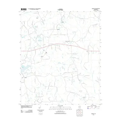
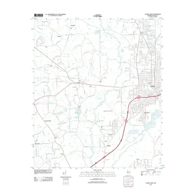
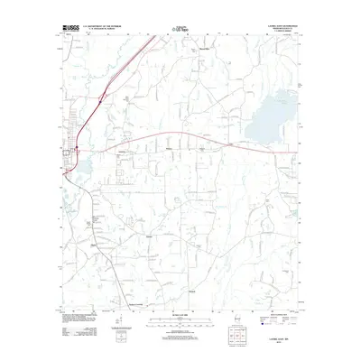
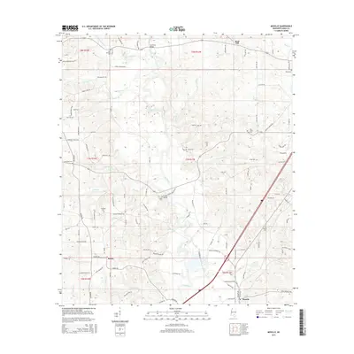
(102)- 2000 Map of Ovett, 2002 Print
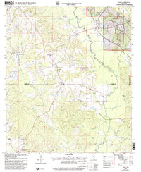 2000 Ovett2002 Print · USGSThe Jones and Perry County borderlands come into focus at the start of the millennium, showing a landscape defined by forest management and oil exploration. Researchers can locate family landmarks like Whitfield Cem, Ovett Cem, and Piney Grove Ch along the winding Bogue Homo.
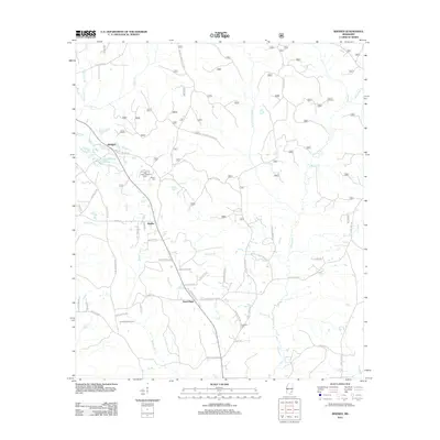
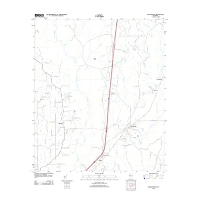
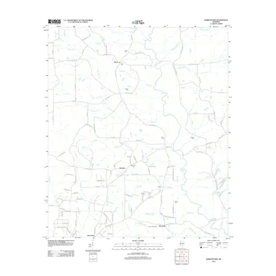
 - 2000 Map of Lanham, 2002 Print
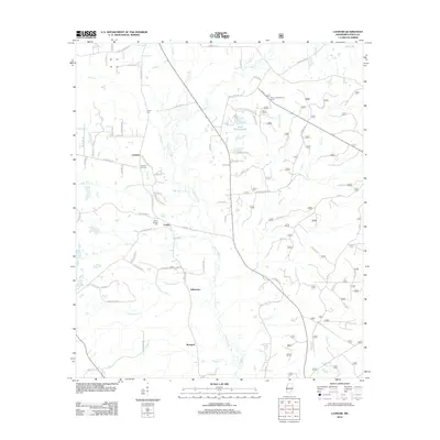
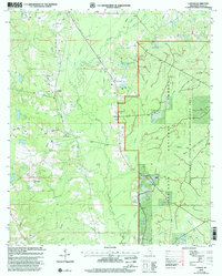 2000 Lanham2002 Print · USGSJones County at the turn of the century is shown as a hub of managed timberlands and recreational trails. Researchers can locate family landmarks like Tucker Cemetery and Good Hope Church alongside the winding Bogue Homo river system.
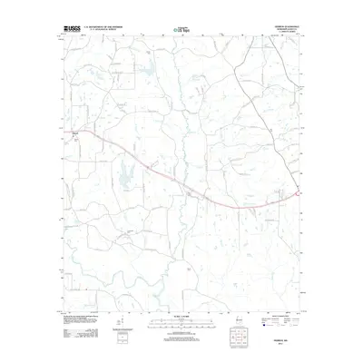
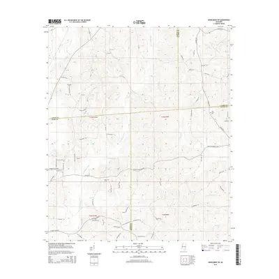
 - 2012 Map of Heidelberg SW, 2012 Print
 2012 Heidelberg SW2012 Print · USGSCovers Jones County, including Heidelberg, Wayne County, and other nearby areas
 - 2012 Map of Strengthford, 2012 Print
 2012 Strengthford2012 Print · USGSCovers Jones County, including Strengthford, Wayne County, and other nearby areas
 - 2012 Map of Myrick, 2012 Print
 2012 Myrick2012 Print · USGSCovers Jones County, including Myrick, Mill Creek, and other nearby areas
 - 2012 Map of Rhodes, 2012 Print
 2012 Rhodes2012 Print · USGSCovers Jones County, including Blodgett, Rhodes, and other nearby areas
 - 2012 Map of Taylorsville, 2012 Print
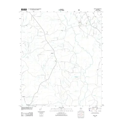
 2012 Taylorsville2012 Print · USGSCovers Jones County, including Taylorsville, Wisner, and other nearby areas
 - 2012 Map of Sanford, 2012 Print
 2012 Sanford2012 Print · USGSCovers Jones County, including Hattiesburg, Sanford, and other nearby areas
 - 2012 Map of Seminary, 2012 Print
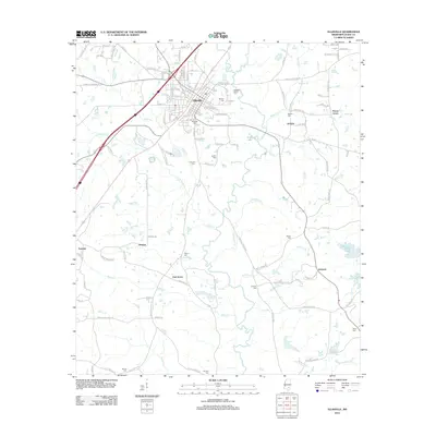
 2012 Seminary2012 Print · USGSCovers Jones County, including Seminary, Moscos, and other nearby areas
 - 2012 Map of Hot Coffee, 2012 Print
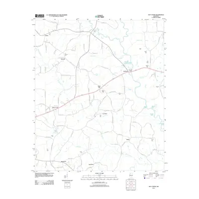 2012 Hot Coffee2012 Print · USGSCovers Jones County, including Shady Oak, Speedtown, and other nearby areas
 - 2012 Map of Moselle, 2012 Print
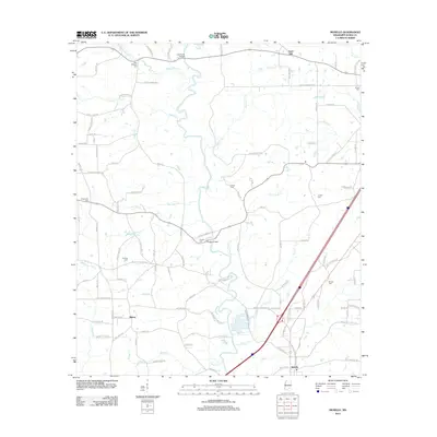 2012 Moselle2012 Print · USGSCovers Jones County, including Sand Hill, Moselle, and other nearby areas
 - 2012 Map of Soso, 2012 Print
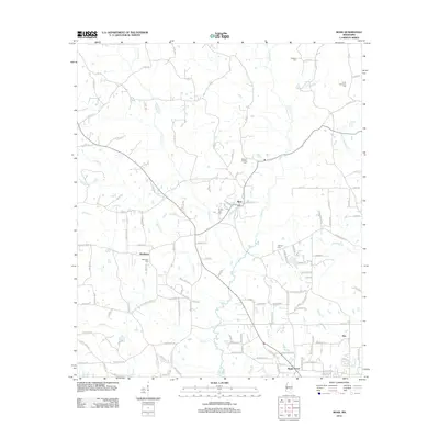
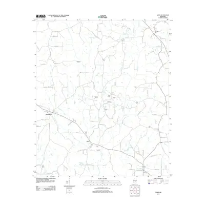 2012 Soso2012 Print · USGSCovers Jones County, including Soso, Amy, and other nearby areas
 - 2012 Map of Ovett, 2012 Print
 2012 Ovett2012 Print · USGSCovers Jones County, including Fox, Ovett, and other nearby areas
 - 2012 Map of Lanham, 2012 Print
 2012 Lanham2012 Print · USGSCovers Jones County, including Crotts, Lanham, and other nearby areas
 - 2012 Map of Moss, 2012 Print
 2012 Moss2012 Print · USGSCovers Jones County, including Hoy, Matthews, and other nearby areas
 - 2012 Map of Eastabuchie, 2012 Print
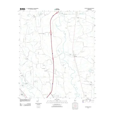 2012 Eastabuchie2012 Print · USGSCovers Jones County, including Hattiesburg, Petal, and other nearby areas
 - 2012 Map of Laurel West, 2012 Print
 2012 Laurel West2012 Print · USGSCovers Jones County, including Laurel, Ellisville, and other nearby areas
 - 2012 Map of Sandersville, 2012 Print
 2012 Sandersville2012 Print · USGSCovers Jones County, including Laurel, Sandersville, and other nearby areas
 - 2012 Map of Hebron, 2012 Print
 2012 Hebron2012 Print · USGSCovers Jones County, including Soso, Hebron, and other nearby areas
 - 2012 Map of Ellisville, 2012 Print
 2012 Ellisville2012 Print · USGSCovers Jones County, including Ellisville, Pecan Grove, and other nearby areas
 - 2012 Map of Laurel East, 2012 Print
 2012 Laurel East2012 Print · USGSCovers Jones County, including Laurel, Glaston, and other nearby areas
 - 2012 Map of Barrontown, 2012 Print
 2012 Barrontown2012 Print · USGSCovers Jones County, including Petal, Barrontown, and other nearby areas
 - 2015 Map of Heidelberg SW, 2015 Print
 2015 Heidelberg SW2015 Print · USGSCovers Jones County, including Heidelberg, Wayne County, and other nearby areas
 - 2015 Map of Hebron, 2015 Print
 2015 Hebron2015 Print · USGSCovers Jones County, including Soso, Hebron, and other nearby areas
 - 2015 Map of Moselle, 2015 Print
 2015 Moselle2015 Print · USGSCovers Jones County, including Sand Hill, Moselle, and other nearby areas
Showing maps 1-25 of 102
Top cities of Jones County
Frequently asked questions
- What are the different types of historical maps available for Jones County?
- What is the oldest map of Jones County?
- Where can I purchase historical maps of Jones County for my home or office?
- Where can I download high-res historical maps of Jones County?
- Are there historical topographic maps available for Jones County?
- Is there historical aerial imagery available for Jones County?
- Where are historical maps of Jones County sourced from?